1 active Glacier alert
- ClosureTwo Medicine Campground closed for 2026 constructionTwo Medicine Campground is closed throughout 2026 because of construction in the Two Medicine developed area.Official details
#10 of 53 sights in Glacier
Sight · Glacier National Park
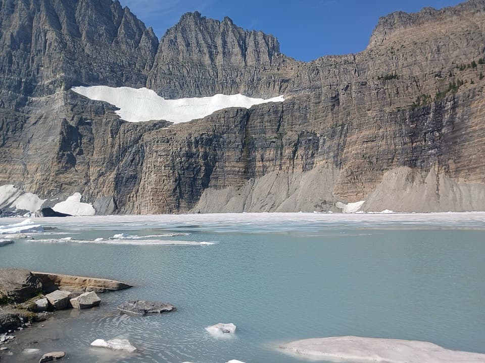
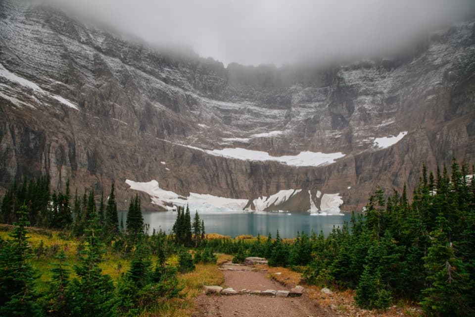
Turquoise water under sheer walls, sometimes still dotted with summer ice.
Overview
Iceberg Lake is an alpine lake in Glacier’s Many Glacier area, enclosed by a steep glacial cirque and known for ice floes that can drift on its turquoise water well into summer. Getting there means a 4.8-mile hike each way, so this is a destination hike rather than a quick stop. Choose it if you want a long walk to one of the park’s signature mountain lakes; skip it if you only have time for a roadside view.
 Parkwolf’s verdictIs the hike worth it?
Map
Plan your stop

The highest, rockiest slopes around here are a summer buffet for grizzly bears.
Glacier Tour Guide
Parkwolf is a GPS audio tour guide for Glacier National Park. As you drive, it chimes in with what’s ahead: hidden gems, upcoming stops, history, geology, and wildlife, right through your car’s speakers.
See the Glacier audio tourRecorded for this place
Iceberg Lake Trailhead“You’re nearing Iceberg-Ptarmigan Trailhead, where I’d choose Iceberg Lake for a full day on foot.”
Plays as you drive up to Iceberg Lake in the Parkwolf Glacier Tour Guide.
More stories near here in the app
“Our first time to glacier and we used the audio portion for Going to the Sun Road. Wonderful information with perfect advice of what to see and do along the road.”


Guide
Start at the Iceberg-Ptarmigan Trailhead behind Swiftcurrent Motor Inn. The route climbs to Ptarmigan Falls, follows the base of Ptarmigan Wall, then crosses Iceberg Creek and rises to reveal the lake. The route is 4.8 miles one way, about 9.6 miles round trip. For a shorter outing, Ptarmigan Falls is 2.7 miles in from the same trailhead.
The trail is popular, and an early start can make the hike and parking easier. A seasonal restroom is available at the trailhead. Carry food and water for the whole route; no food service or water source at the lake was confirmed. Snow may linger on the final approach into early summer, and the lake’s ice changes from year to year.
The lake sits in a glacially carved basin. Snowfields along its western shore feed ice floes into the water, and in some years they are still floating in September. Iceberg Peak rises west of the lake and Mount Wilbur stands to the south; the surrounding walls rise more than 3,000 feet above the water.
The lake opens into view after a rise near Iceberg Creek: turquoise water, scattered ice, evergreen shore and a high ring of bare rock. Frame a floe against the cirque walls to show the scale of the basin instead of photographing open water alone. Moose and bears are sometimes reported along the route, so stay alert around wildlife, steep drops and water.
Wildlife
 404 sightingsGrizzly BearMost seen around 6 AMSighting map
 11 sightingsWolverineMost seen around 8 PMSighting map
 1,173 sightingsMountain GoatMost seen around 6 AMSighting map
 1,000 sightingsBighorn SheepMost seen around 6 AMSighting map
 395 sightingsMooseMost seen around 6 AMSighting map
 506 sightingsBlack BearMost seen around 8 PMSighting map
Sighting maps show where each species has been reported across Glacier. Wildlife moves, so no sighting is guaranteed.
Keep exploring
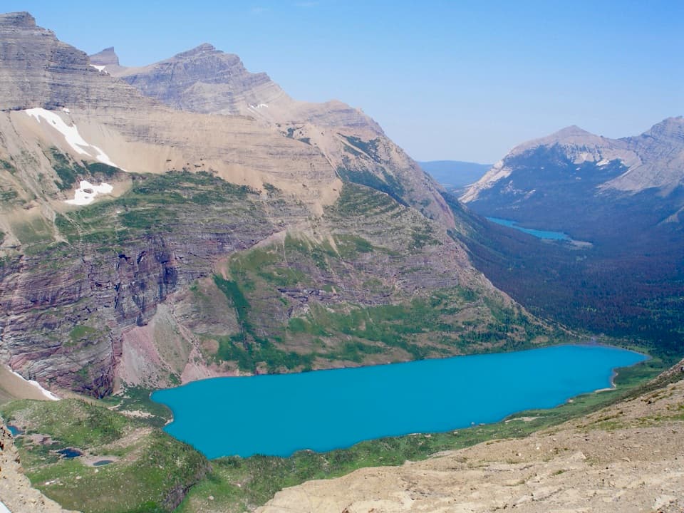 ModerateAhern Pass Overlook Trail0.8 mi · 1 hr · 1.5 mi awayA steep side trip to a high view of Helen Lake.
 ModerateIceberg Lake Trail9.6 mi · 6 hr · 3.2 mi awayA long valley walk ends at a turquoise lake beneath steep cliffs.
 ChallengingPtarmigan Tunnel Trail10.6 mi · 6 hr · 3.2 mi awayA hard climb to the tunnel and its north-side Elizabeth Lake view.
 ChallengingPtarmigan Lake Trail8.6 mi · 5.5 hr · 3.2 mi awayA steep climb to a lake beneath a massive glacial wall.
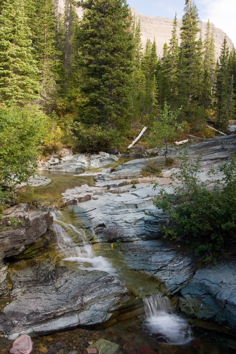 ModeratePtarmigan Falls Trail5.4 mi · 3.5 hr · 3.2 mi awayA forested climb to a partly screened waterfall and big peaks.
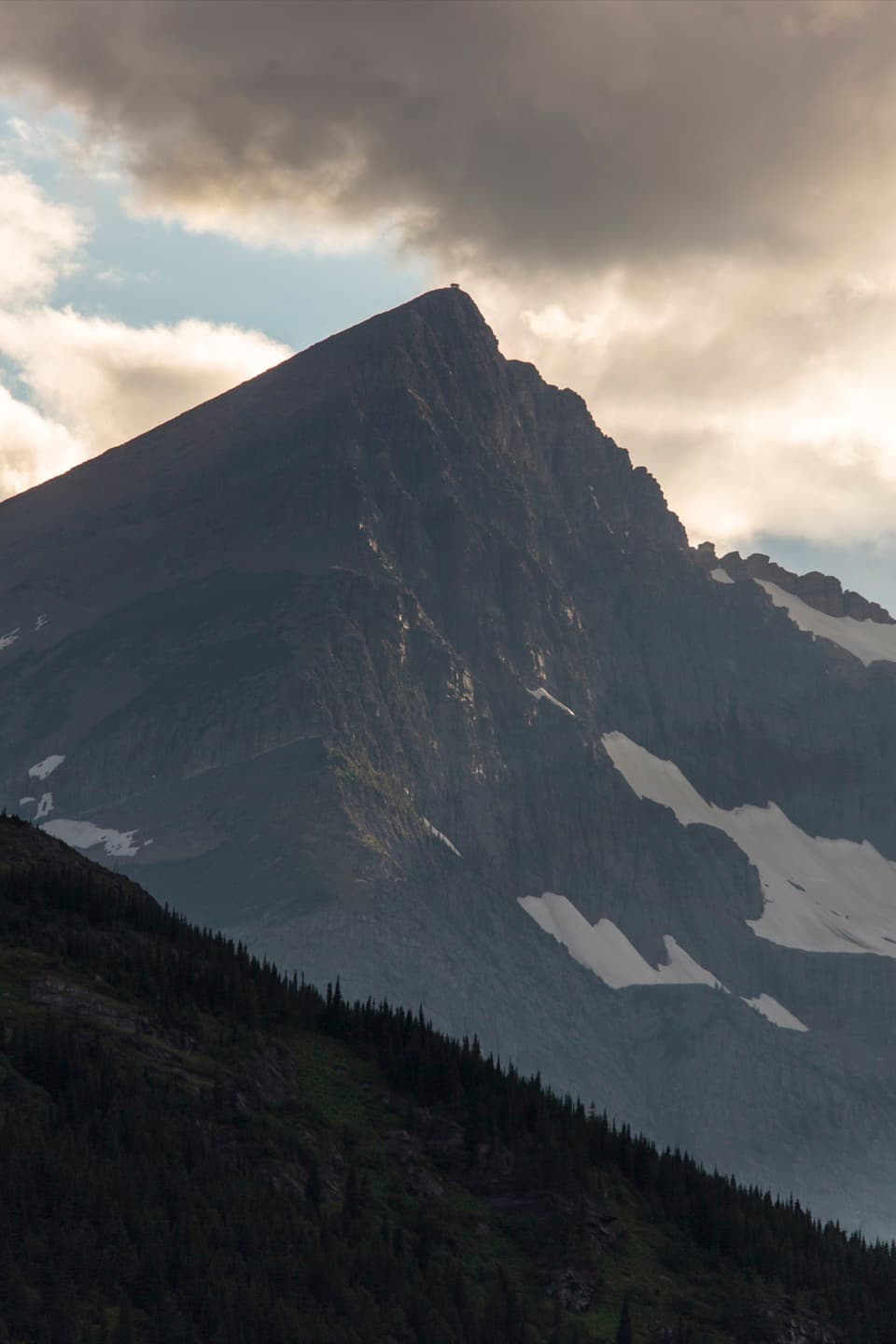 ChallengingSwiftcurrent Lookout Trail16.5 mi · 11 hr · 3.2 mi awayA big Many Glacier day ends at a historic summit lookout.
 ChallengingSwiftcurrent Pass Trail13.6 mi · 8.5 hr · 3.2 mi awayThree lakes first, then a rugged climb to the Continental Divide.
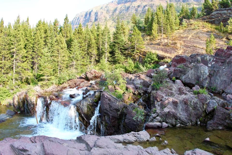 EasyRedrock Falls Trail3.6 mi · 2.3 hr · 3.2 mi awayA gentle lake walk ending at red-rock cascades.Sight · 1.5 mi awayPtarmigan FallsA waterfall break on the long hike toward Iceberg Lake.
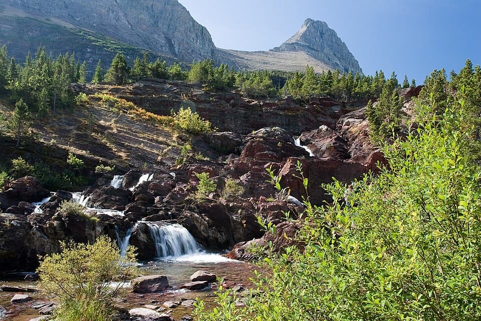 Sight · 2 mi awayRedrock FallsA shaded walk opens onto red-rock cascades and a mountain lake.
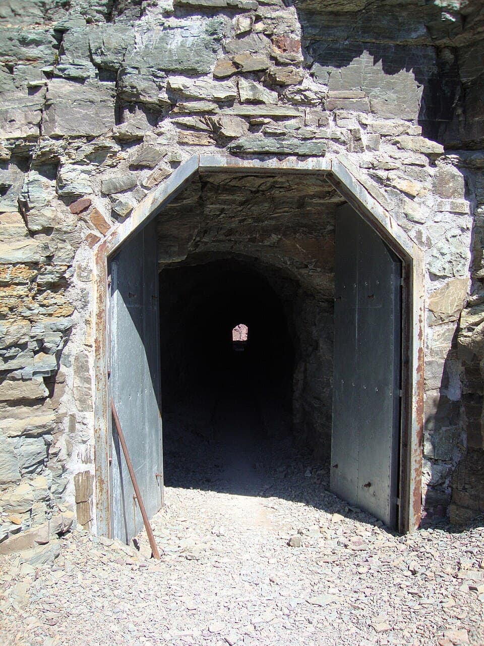 Sight · 2.8 mi awayPtarmigan TunnelA historic tunnel with a long climb and a sudden new view.
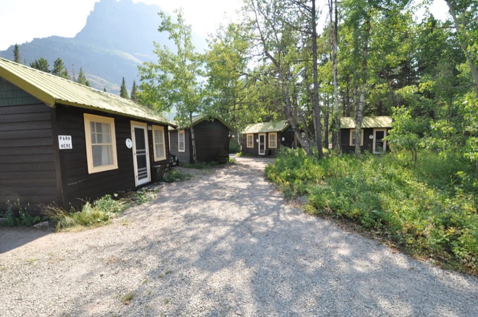 Lodging · 3.2 mi awaySwiftcurrent Motor Inn and CabinsCabins, motel rooms, meals, and supplies close to the hikes.
 Campground · 3.2 mi awayMany Glacier CampgroundA shaded base for east-side hikes, with the inn close by.
 Lodging · 3.4 mi awayGranite Park ChaletA rare 1914 chalet worth the hike if you're staying overnight.
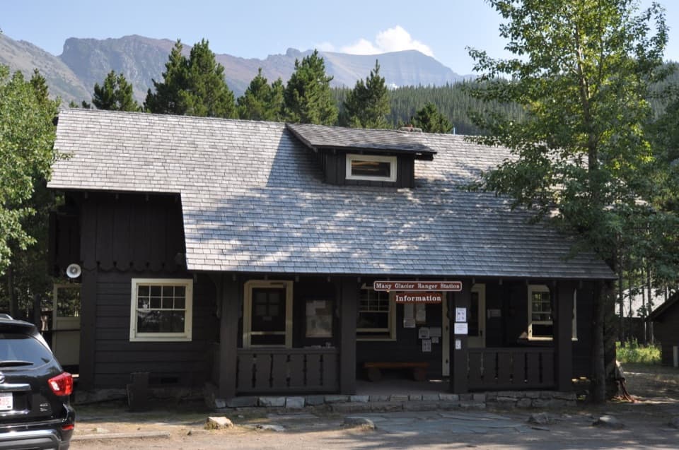 Ranger station · 3.4 mi awayMany Glacier Ranger StationGet local help before heading into Glacier’s backcountry.
 Sight · 3.7 mi awayGrinnell Glacier OverlookA steep ridge spur above Grinnell's shrinking glacier.
Parkwolf’s Glacier ranking
The audio tour guide for the drive, plus offline maps, trails, and wildlife heatmaps for when the signal drops.