Sue Lake Overlook Trail in Glacier National Park

Glacier National Park, MT

Sue Lake Overlook Trail

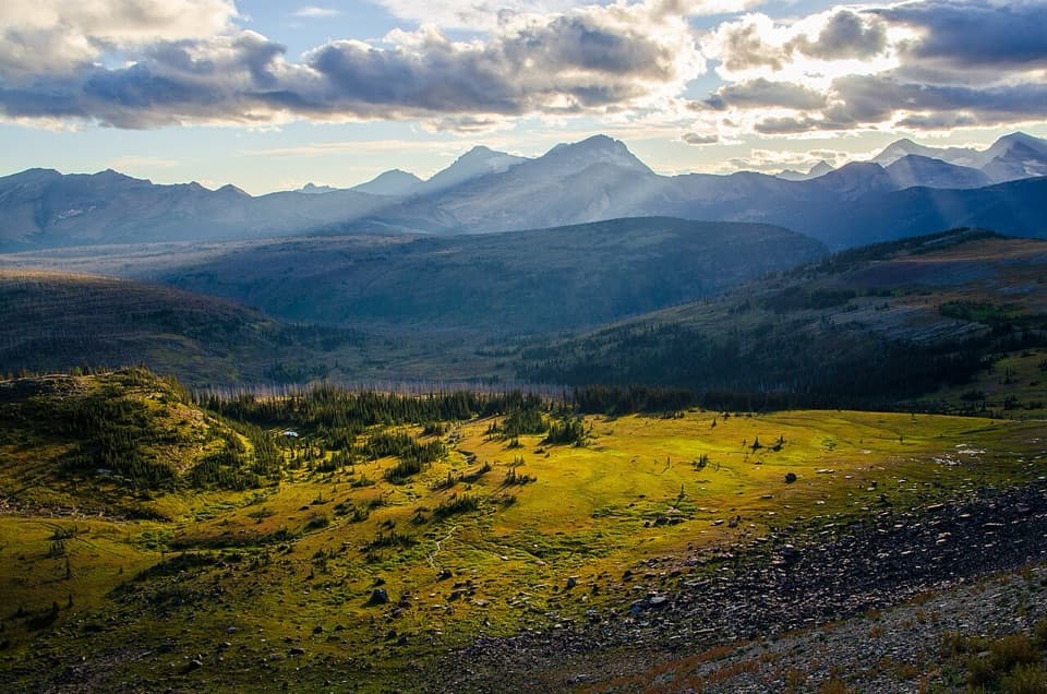
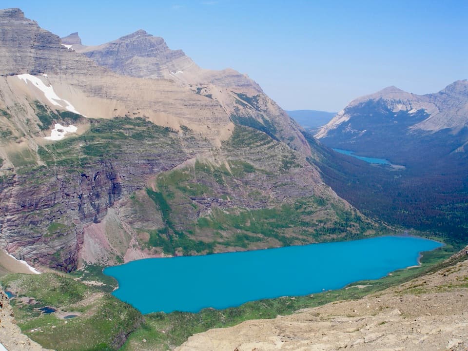
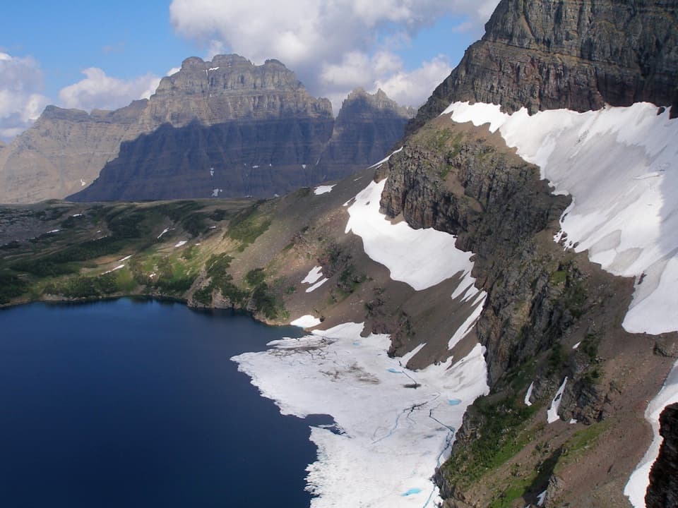
A steep spur climbs to a high perch above Sue Lake.

Photo: Wikimedia Commons
Length
0.8mi
Time
45min
Elev. change
272ft
Difficulty
Moderate
  • No dogs
  • High point 7,674 ft
Parkwolf audio tour204 stories across Glacier’s roads

Overview

About Sue Lake Overlook Trail

Why go

  • A short ridge climb opens onto a wide view of Sue Lake and surrounding peaks.
  • A distinct overlook detour directly off the Northern Highline.

Heads up

  • Steep, exposed finish above unguarded cliffs.
  • The 0.8-mile figure excludes a long backcountry approach.

Map & elevation

The route

Loading the Glacier map
Full map
Elevation7,402–7,674 ft
TrailheadSue Lake spur junction on the Northern Highline Trail48.85313, -113.84788
Keep this map with you offline in the Parkwolf app

Plan your hike

Before you go

Parking

There is no road access or parking at this spur. Start at the Sue Lake spur junction on the Northern Highline after a long backcountry hike; add that approach to the 0.8-mile round-trip spur distance. The Fifty Mountain backcountry campground is about a mile away along the trail, and overnight camping requires a permit.

Safety

The path climbs to an exposed ridge above steep, unguarded cliffs; stay well back from the edge. This high-elevation route is remote and can hold snow early or late in the season.

1 active Glacier alert

  • ClosureTwo Medicine Campground closed for 2026 constructionTwo Medicine Campground is closed throughout 2026 because of construction in the Two Medicine developed area.Official details
Glacier alerts
A park ranger sits on a dash-mounted phone, talking, as Parkwolf’s Tour Guide plays “Army Cutworm Moths: A Grizzly Bear Buffet” on Grand Loop Road below Dunraven Pass in Yellowstone
Parkwolf Tour GuideThe highest, rockiest slopes around here are a summer buffet for grizzly bears.

Glacier Tour Guide

Your drive to Sue Lake Overlook Trail, narrated.

Parkwolf is a GPS audio tour guide for Glacier National Park. As you drive, it chimes in with what’s ahead: hidden gems, upcoming stops, history, geology, and wildlife, right through your car’s speakers.

See the Glacier audio tour
  • 204 audio storiesacross Glacier’s roads, triggered by GPS as you drive
  • Wildlife heatmapsfor Grizzly Bear, Wolverine, Mountain Goat, and 13 more
  • Works offlinemaps, 157 trails, 91 places, and audio download before you lose signal
  • CarPlay readysimple controls built for the drive
★★★★★
“Our first time to glacier and we used the audio portion for Going to the Sun Road. Wonderful information with perfect advice of what to see and do along the road.”
PaisleyParkFanApp Store review
Download Parkwolf on the App StoreGet Parkwolf on Google Play

4.7 from 8,600+ ratings

Trail guide

Hiking Sue Lake Overlook Trail

The spurThis 0.8-mile round-trip out-and-back leaves the Northern Highline and climbs about 0.

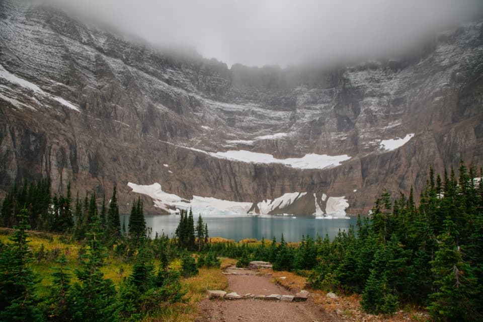
This 0.8-mile round-trip out-and-back leaves the Northern Highline and climbs about 0.4 mile to a ridge above Sue Lake. The lake sits far below, with a broad mountain skyline beyond it. If you are already on the Northern Highline, this is a worthwhile short detour; the approach is the bigger commitment. Allow about 45 minutes for the spur itself; the path does not descend to the water.

The climbThe spur is short but steep.

The spur is short but steep. It ends on an exposed ridge above steep cliffs, so keep well back from the edge. Return the same way to the Northern Highline. The mapped distance covers only this spur, not the long backcountry approach needed to reach it.

The viewFrom roughly 7,700 feet, Sue Lake lies far below.

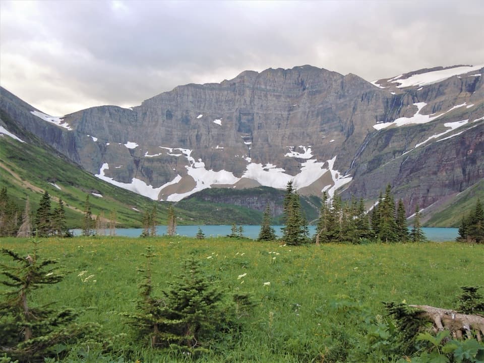
From roughly 7,700 feet, Sue Lake lies far below. Cathedral Peak and Mount Kipp frame the north and south, and the western view reaches the Livingston Range and its glaciers and snowfields. For a photo, keep some of the ridge in the foreground with the lake below; the height is part of the view.

Getting thereThis is not a roadside day hike: there is no road access or parking at the spur.

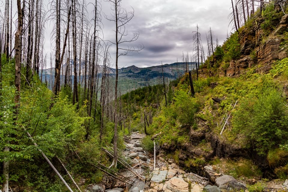
This is not a roadside day hike: there is no road access or parking at the spur. Reach its junction by hiking the Northern Highline on a long backcountry route. The Fifty Mountain campground is about a mile away along the trail; an overnight stay there requires a backcountry camping permit. Pets are not allowed on Glacier trails or in the backcountry. High-elevation snow can linger into summer, and fall snow or seasonal bridge removals can affect travel, so check current trail status before setting out. There are no services at the overlook.

Wildlife

Wildlife in Glacier

All Glacier wildlife maps

Sighting maps show where each species has been reported across Glacier. Wildlife moves, so no sighting is guaranteed.

Keep exploring

Near Sue Lake Overlook Trail

See it all on the map

Trails that start nearby

Places near the trailhead

Parkwolf’s Glacier ranking

Top-rated trails in Glacier

All 157 trails
  1. 1Highline TrailChallenging · 11.8 mi
  2. 2Grinnell Glacier TrailChallenging · 10 mi
  3. 3Iceberg Lake TrailModerate · 9.6 mi
  4. 4Hidden Lake Overlook TrailModerate · 2.6 mi
  5. 5Avalanche Lake TrailModerate · 5 mi
  6. 6Trail of the CedarsEasy · 0.9 mi

Take Parkwolf to Glacier.

The audio tour guide for the drive, plus offline maps, trails, and wildlife heatmaps for when the signal drops.

4.7 from 8,600+ ratings

Download Parkwolf on the App StoreGet Parkwolf on Google Play