Parking
At the Highway 17 gate for Otatso Creek Road; park across from the gate fully off the roadway.

Glacier National Park, MT
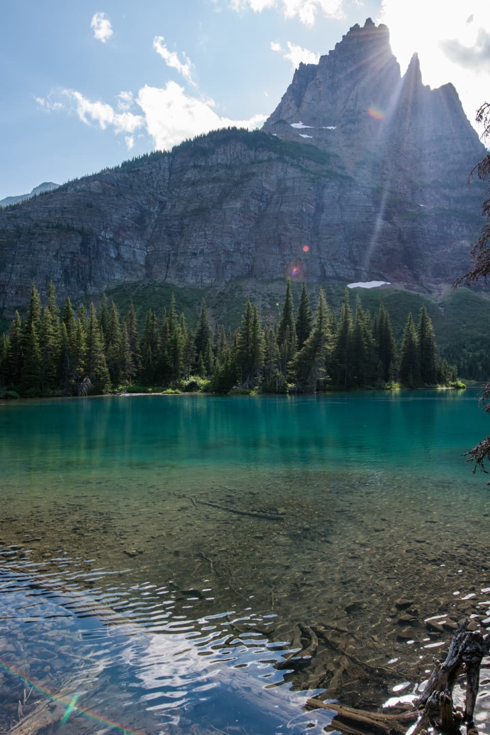
A long day through aspens to a lake below a rockslide.
Overview
Map & elevation
Plan your hike

The highest, rockiest slopes around here are a summer buffet for grizzly bears.
Glacier Tour Guide
Parkwolf is a GPS audio tour guide for Glacier National Park. As you drive, it chimes in with what’s ahead: hidden gems, upcoming stops, history, geology, and wildlife, right through your car’s speakers.
See the Glacier audio tourRecorded for this trailhead
Slide Lake Trailhead“You're nearing the Highway seventeen gate for Slide Lake Trail, a full-day hike through aspens to a lake below a rockslide.”
Plays as you drive up to this trailhead in the Parkwolf Glacier Tour Guide.
More stories near here in the app
“Our first time to glacier and we used the audio portion for Going to the Sun Road. Wonderful information with perfect advice of what to see and do along the road.”


Trail guide
Slide Lake Trail is an out-and-back from a gate on Highway 17, following the rough Otatso Creek approach across the Blackfeet Reservation into Glacier National Park, then continuing along Otatso Creek Trail to a lake below a rockslide. The mapped corridor is about 7.1 miles one way (14.2 miles round trip). Slide Lake is the turnaround; the climb toward Gable Pass is a separate continuation.
Allow about 8½ hours including short breaks; that is a planning estimate, not a published time. Distances differ: a park campground map marks about 6.4 miles to the campground, while an older route description gives 8.6 miles to the lake. The mapped line to shore measures about 7.1 miles each way, so treat mileage as approximate.
The described start is a gate on Highway 17 for Otatso Creek Road. Park across from it fully clear of the road, and leave the gate as you found it. The route crosses Blackfeet Reservation land before entering the park. Nonmembers need a Recreation/Conservation permit to recreate on the Reservation; confirm permission for this specific route and the current fee with Blackfeet Fish & Wildlife before going.
Pets are prohibited on park trails and in the backcountry, so leave them at home for this route. Bring your own water: the small creek crossings on the reservation section may be unreliable late in summer.
The first roughly two miles follow a rough, unimproved road over Sandy Ridge through open fields and aspen groves. At the cattle guard, the view opens west across Otatso Creek Valley toward Chief Mountain. The route then gradually drops into the valley and traverses its north slope above Otatso Creek, crossing small streams along the way.
After the boundary, the trail becomes clearer and the forest more evergreen. It passes patrol cabins and Slide Lake Campground before reaching the lake. The campground is near the Gable Pass junction; stay on the Slide Lake branch for the route described here. Gable Pass is a much steeper continuation and is not included in the distance above.
A large rock avalanche from Yellow Mountain dammed Otatso Creek and formed Slide Lake. From the shore, frame the lake with the pale slide scar above it. The park closes Slide Lake, the pond below it, and Otatso Creek to fishing. The nearby campground is a backcountry stop; an overnight stay requires a separate wilderness permit.
Wildlife
 404 sightingsGrizzly BearMost seen around 6 AMSighting map
 11 sightingsWolverineMost seen around 8 PMSighting map
 1,173 sightingsMountain GoatMost seen around 6 AMSighting map
 1,000 sightingsBighorn SheepMost seen around 6 AMSighting map
 395 sightingsMooseMost seen around 6 AMSighting map
 506 sightingsBlack BearMost seen around 8 PMSighting map
Sighting maps show where each species has been reported across Glacier. Wildlife moves, so no sighting is guaranteed.
Keep exploring
 ChallengingGable Pass Trail13.6 mi · 9 hr · 7.5 mi awayA long Lee Ridge climb to a steep, rocky pass.
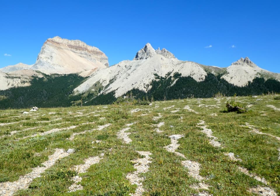 ChallengingLee Ridge Trail12 mi · 8 hr · 7.5 mi awayA long forest climb opens to alpine stripes and cairns
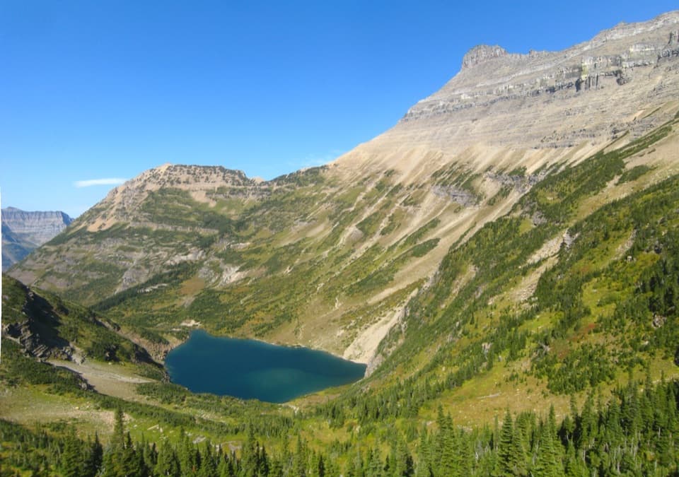 ChallengingStoney Indian Pass Trail26.7 mi · 17 hr · 8 mi awayA high pass links two remote valleys and drops into Goat Haunt.
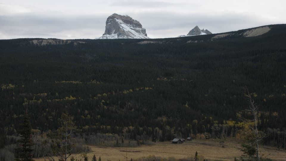 ModerateBelly River Trail12.2 mi · 6.5 hr · 8 mi awayA daylong valley walk to a meadow beneath Chief Mountain.
 ChallengingElizabeth Lake Trail18.6 mi · 10 hr · 8 mi awayA full day along Belly River ends at Elizabeth Lake.
 ChallengingCosley Lake Trail17.6 mi · 10.5 hr · 8 mi awayA long Belly River hike to a quiet lake beneath jagged peaks.
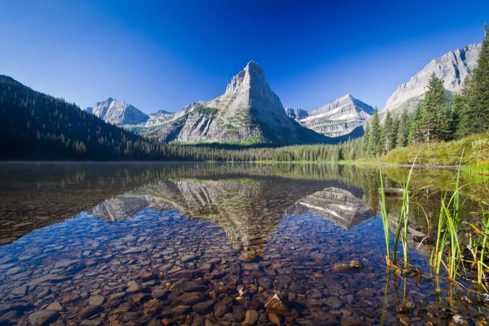 ChallengingGlenns Lake Trail25.3 mi · 14 hr · 8 mi awayThe lake head is worth the long backcountry approach.
 ChallengingMokowanis Lake Trail28.8 mi · 15 hr · 8 mi awayA long valley walk to a lake beneath Pyramid Peak.
Parkwolf’s Glacier ranking

The audio tour guide for the drive, plus offline maps, trails, and wildlife heatmaps for when the signal drops.






