The Fortress Walk in Grampians National Park

Sight · Grampians National Park

The Fortress Walk

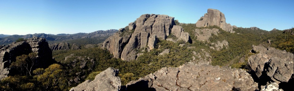
Sandstone fortress walls and wild Victoria Range views

Photo: Wikimedia Commons
Type
Sight
Nearest trail
2.3 km
  • Parking

Hear the audio tour

The Fortress: Access to the Sandstone Towers

Overview

About The Fortress Walk

Why stop

  • Distinctive sandstone towers and broad range views
  • Feels genuinely remote and adventurous

Heads up

  • Rough Grade 4 terrain includes steep climbs and scrambling
  • Remote 4WD approach adds real logistics
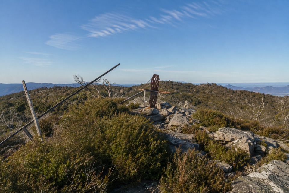
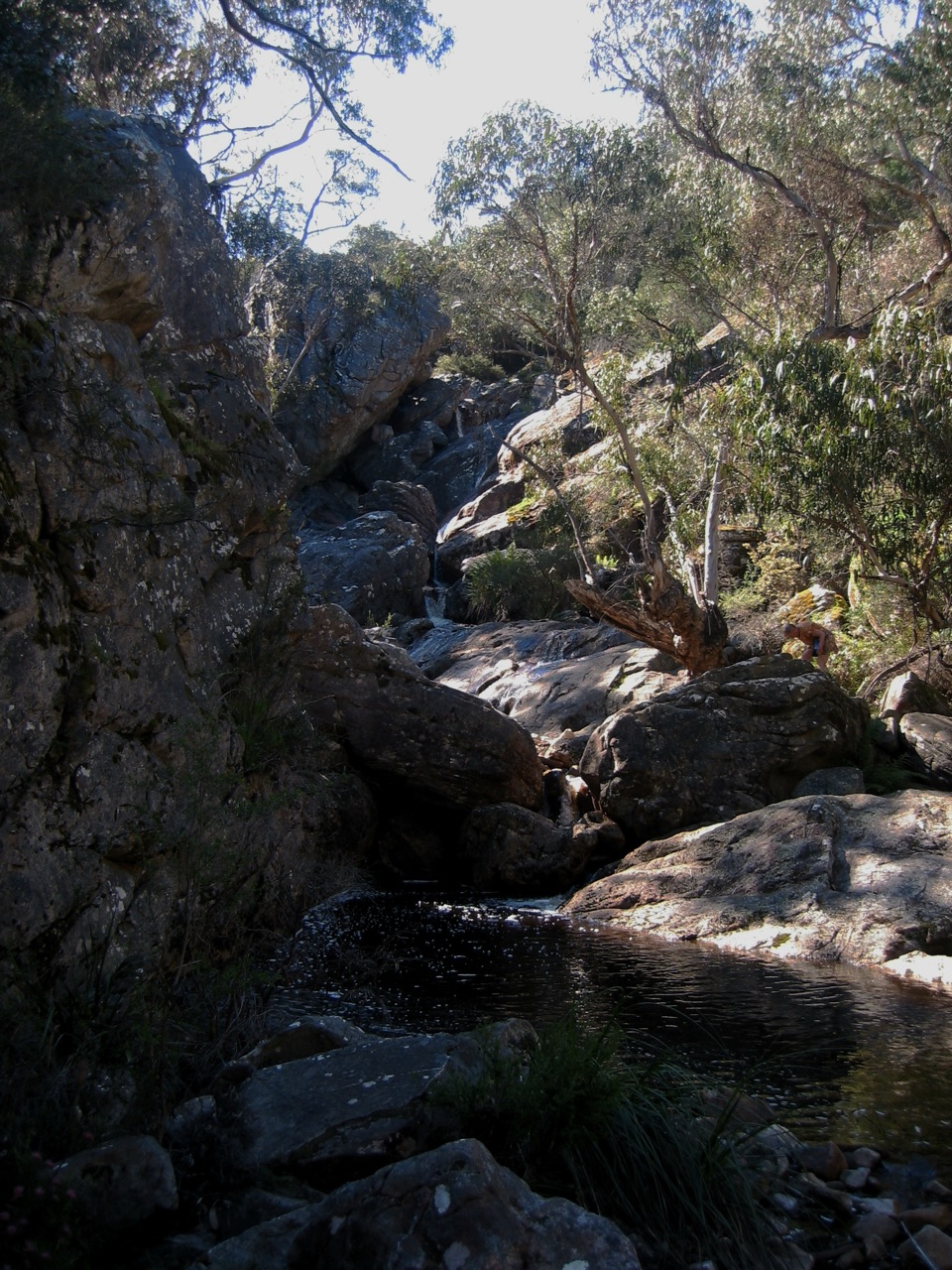
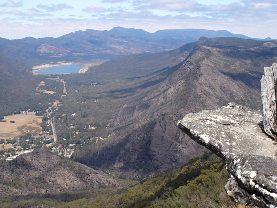
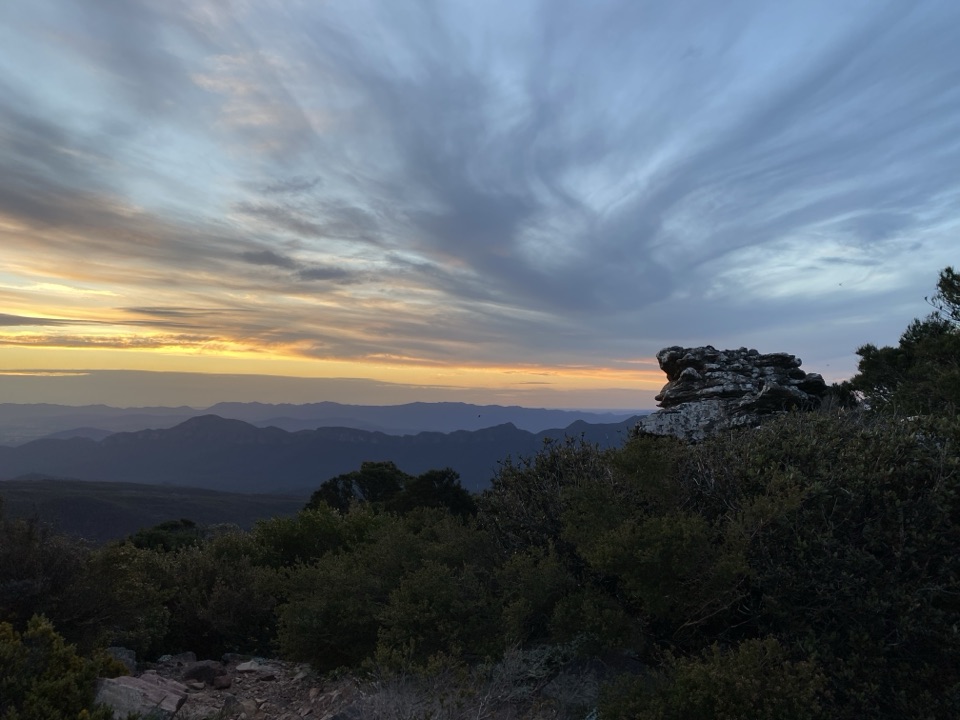
The Fortress is a blocky sandstone formation in the remote Victoria Range. Its weathered towers rise above low forest and broken rock, giving the walk a much wilder feel than the short, developed lookouts around Halls Gap. The reward is the formation itself, plus broad views across the Victoria Range and the western Grampians.
Parkwolf’s verdictWhy go

Map

Where it is

Loading the Grampians map
Full map
SightThe Fortress Walk-37.30708, 142.29792
Keep this map with you offline in the Parkwolf app

Plan your stop

Before you go

Best time to go

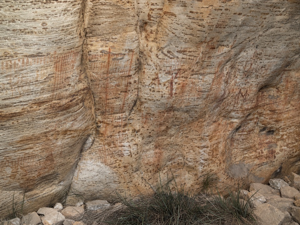
Choose a cool, dry day. Parks Victoria warns of steep track, slippery rocks and uneven ground, and rain makes the rocky sections and scrambling less forgiving. Lower-angle light brings out the horizontal sandstone layers, while clear weather gives the best sense of the range's scale. Leave enough time to return before dark, especially on the longer Harrops Track approach. Dogs are not allowed and fires are prohibited at this site.


Getting there

The access road is an unsealed, remote section of Victoria Range Road reached from Glenelg River Road. The final road is mapped for 4WD vehicles, and the walk starts at a small roadside parking area rather than a developed visitor precinct. The map point marks that trail start, not the summit. Do not plan this as a casual drive-up viewpoint.

Bring plenty of water, food, sturdy footwear and weather-appropriate layers. There are no verified visitor facilities at the trail start, and the rough surface, limited signage and remote setting make a charged phone, offline map and a clear turnaround plan worthwhile.

5 active Grampians alerts

  • ClosureBushfire-damaged walks and picnic area remain closedMentions this placeThe Fortress, Red Gum, Billimina, Chimney Pots and Brownings Loop walks, plus Mafeking Picnic Area, remain closed because of track or site damage from the 2024/25 summer bushfires.Official details
  • ClosureMackenzie Falls precinct closed during constructionThe Mackenzie Falls (Migunang wirab) Precinct has no vehicle or visitor access during major construction works expected to finish by the end of 2026.Official details
See all 5 alerts
A park ranger sits on a dash-mounted phone, talking, as Parkwolf’s Tour Guide plays “Army Cutworm Moths: A Grizzly Bear Buffet” on Grand Loop Road below Dunraven Pass in Yellowstone
Parkwolf Tour GuideThe highest, rockiest slopes around here are a summer buffet for grizzly bears.

Grampians Tour Guide

Your drive to The Fortress Walk, narrated.

Parkwolf is a GPS audio tour guide for Grampians National Park. As you drive, it chimes in with what’s ahead: hidden gems, upcoming stops, history, geology, and wildlife, right through your car’s speakers.

Recorded for this place

The Fortress: Access to the Sandstone Towers
0:00 / 0:25
“You're nearing the access toward the Fortress, with more driving along Victoria Range Road before the walk begins.”

Plays as you drive up to The Fortress Walk in the Parkwolf Grampians Tour Guide.

More stories near here in the app

  • The Falcon Holding Still
  • A Small Cascade off the Wonderland Track
  • The Mice That Survived the Fire
  • The Trail Inside a Leaf
  • 233 audio storiesacross Grampians’s roads, triggered by GPS as you drive
  • Wildlife heatmapsfor Short-beaked Echidna, Powerful Owl, Wedge-tailed Eagle, and 13 more
  • Works offlinemaps, 81 trails, 62 places, and audio download before you lose signal
  • CarPlay readysimple controls built for the drive
★★★★★
“Fantastic app with many points of information… It’s great to just turn on while you’re driving and it gives you an audio tour of the national Park. We love it!!!!”
JMJamesApp Store review
Download Parkwolf on the App StoreGet Parkwolf on Google Play

4.7 from 8,600+ ratings

Guide

More about The Fortress Walk

The walkThe standard route is about 6.

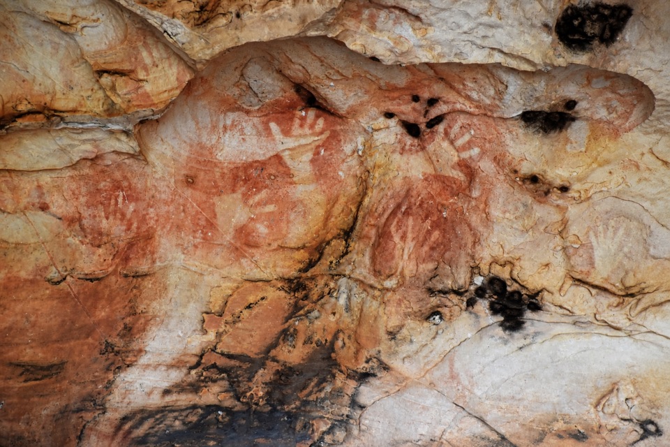
The standard route is about 6.5 km return and usually takes around three hours, but it is a genuine Grade 4 hike. From Victoria Range Road, the track climbs through rough, rocky terrain and past weathered cliffs and caves. The normal walk reaches the base of the formation and two sheltered camping caves; reaching the true summit involves exposed scrambling and is for experienced climbers in good weather.

A longer approach from Harrops Track is about 11 km return and takes roughly five to six hours. It adds steep climbs, descents and more navigation, with the Fortress and the surrounding ranges opening up gradually along the route.

Wildlife

Wildlife in Grampians

All Grampians wildlife maps

Sighting maps show where each species has been reported across Grampians. Wildlife moves, so no sighting is guaranteed.

Parkwolf’s Grampians ranking

Top sights in Grampians

All 62 places
  1. 1MacKenzie Falls (Migunang wirab)Sight
  2. 2Pinnacle LookoutSight
  3. 3Boroka LookoutSight
  4. 4Reeds LookoutSight
  5. 5The BalconiesSight
  6. 6Mount William (Duwul)Sight

Take Parkwolf to Grampians.

The audio tour guide for the drive, plus offline maps, trails, and wildlife heatmaps for when the signal drops.

4.7 from 8,600+ ratings

Download Parkwolf on the App StoreGet Parkwolf on Google Play