Parking
Mount Thackeray Carpark on Victoria Range Road, reached via the rough Goat Track and Victoria Range Road. The rocky approach is suitable only for 4WD vehicles.
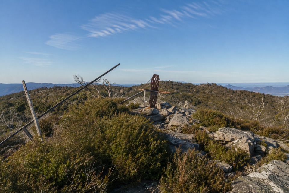
Grampians National Park, VIC
Short, steep rock scramble to a broken trig with sweeping range views
Overview
The summit opens out to a broad panorama along the ranges, taking in the sweep from Mount Zero at the north end to Mount Sturgeon at the south. It is the kind of view that makes a short walk feel much bigger, and the broken trig gives you an obvious place to sit and take it in.
 Parkwolf’s verdictThe payoff
Map & elevation
Plan your hike

The highest, rockiest slopes around here are a summer buffet for grizzly bears.
Grampians Tour Guide
Parkwolf is a GPS audio tour guide for Grampians National Park. As you drive, it chimes in with what’s ahead: hidden gems, upcoming stops, history, geology, and wildlife, right through your car’s speakers.
Recorded for this trailhead
The Fortress: Access to the Sandstone Towers“You're nearing the access toward the Fortress, with more driving along Victoria Range Road before the walk begins.”
Plays as you drive up to this trailhead in the Parkwolf Grampians Tour Guide.
More stories near here in the app
“Fantastic app with many points of information… It’s great to just turn on while you’re driving and it gives you an audio tour of the national Park. We love it!!!!”


Trail guide
Mount Thackeray Summit Walk is an out-and-back from the Mount Thackeray Carpark on Victoria Range Road, roughly 2.7 km total return distance. It is short on the map and slow on the ground, so budget more time than the distance suggests.
A brief access track leaves Victoria Range Road, then the route drops gradually through a rocky gully and scrub under open forest with mint bush and tea-tree. A switchback turns you back uphill, and the last stretch is a rocky scramble up terraced slopes to the summit and its broken trig marker. Because you retrace the same corridor, the climb you earn on the way up is the descent you get on the way back.
Call it hard in practical terms. Published grades range from 3 to 4, and the honest read is that the scramble, uneven terraced rock and loose rocky slopes do the work rather than the length. You will use your hands near the top, and the footing rewards decent boots and a steady pace. Sections of the upper slopes are exposed, so anyone uneasy with drop-offs or scrambling on rock should think twice.
Access runs via the Goat Track and Victoria Range Road, and the rough rocky sections mean a 4WD is the practical requirement to reach the carpark. If you do not have suitable clearance and traction, plan a different walk rather than risking the drive. Dogs are not permitted in the national park, and assistance dogs are covered by separate entry requirements, so check those before you set out. This is a remote corner of the park and there are no facilities at the start; the nearest toilets are at Buandik campground. Carry everything you need and be self-sufficient.
As a general preference rather than route-specific advice, early or late daylight gives the ranges more shape and warmth, and the long lines of ridges read better with low sun. Bring the camera you are happy scrambling with, since you will want hands free on the upper rock.
It is an out-and-back, so there is no new scenery on the return. The 4WD approach rules out a lot of vehicles, the scramble rules out a lot of walkers, and the reward is concentrated almost entirely at the summit rather than spread along the way.
Wildlife
 157 sightingsShort-beaked EchidnaMost seen around 6 PMSighting map
 37 sightingsPowerful OwlMost seen around 6 PMSighting map
 59 sightingsWedge-tailed EagleMost seen around 11 AMSighting map
 24 sightingsEastern Brown SnakeMost seen around 11 AMSighting map
 10 sightingsTiger SnakeMost seen around noonSighting map
 29 sightingsRed-bellied Black SnakeMost seen around 11 AMSighting map
Sighting maps show where each species has been reported across Grampians. Wildlife moves, so no sighting is guaranteed.
Keep exploring
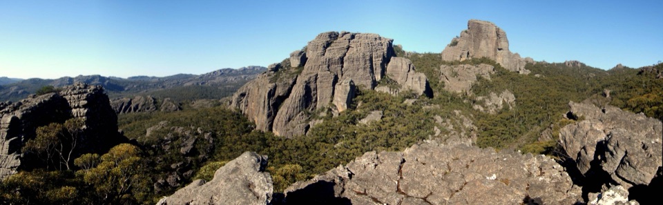 ChallengingThe Fortress and Mt Thackeray Overnight Hike40.4 km · 18 hr · 3.6 km awayTwo-day sandstone loop to remote clifftops, big views, rough 4WD tracksChallengingThe Fortress Walk6.5 km · 3 hr · 3.6 km awayA steep scramble to weathered sandstone towers and caves
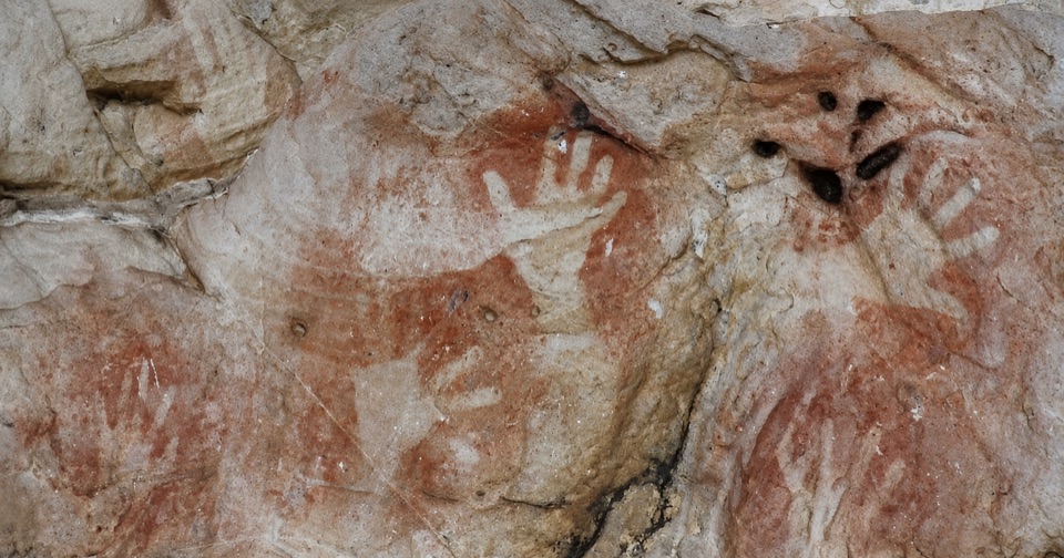 ModerateManja Shelter Walk2.6 km · 1 hr · 6.6 km awayUphill through stringybark to a sandstone shelter of ancient hand stencils
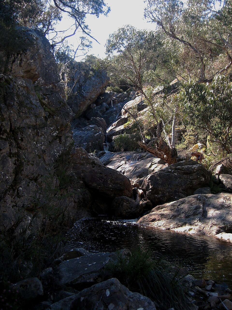 ModerateBuandik Falls Walk1.2 km · 1 hr · 7.1 km awayShort creek walk to a rocky cascade and pool in remote bushland
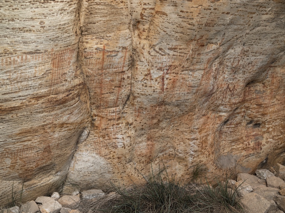 ModerateBillimina Walk2.2 km · 1 hr · 7.1 km awayShort climb past a falls to a rock shelter of ochre motifs
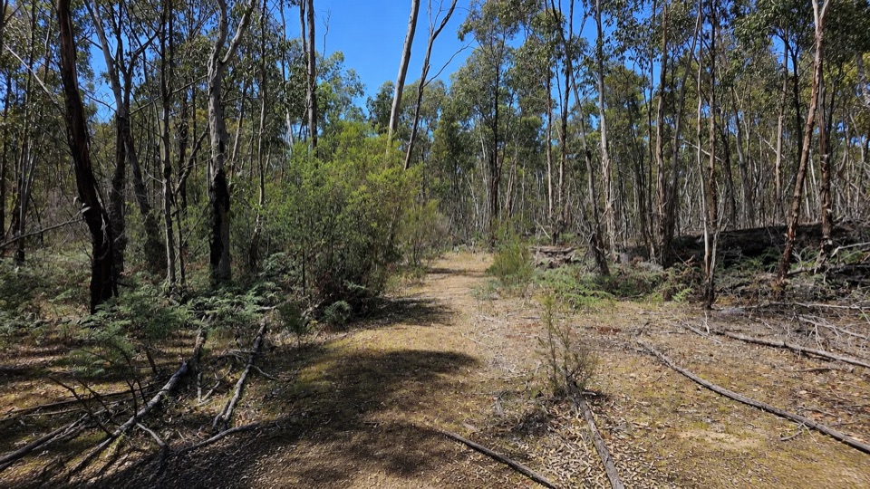 EasyRed Gum Walk2 km · 45 min · 12.2 km awayGentle 2 km woodland circuit among river red gums and swamp gums
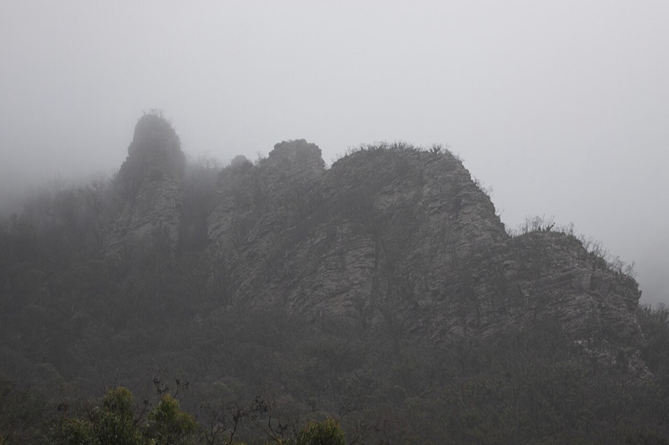 ChallengingThe Chimney Pots Walk3.7 km · 1.8 hr · 13.6 km awayShort, steep sandstone loop with scrambly ledges and big ridge views
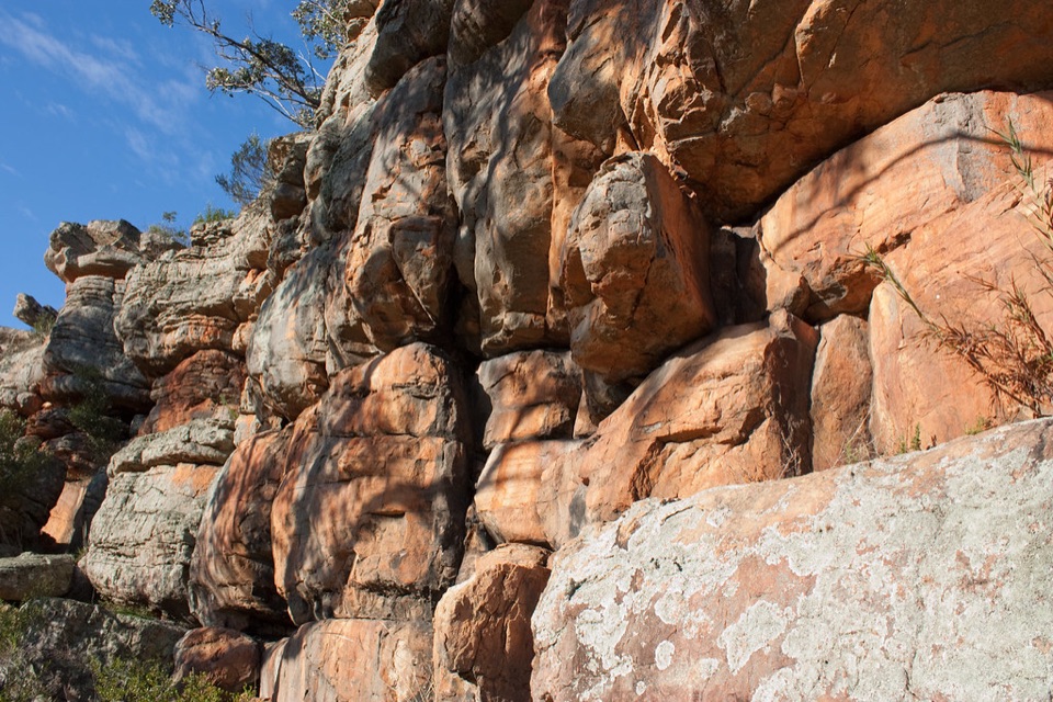 EasyPaddy Castle Walk0.6 km · 36 min · 14.1 km awayShort rocky path to a banded sandstone outcrop in Victoria Valley
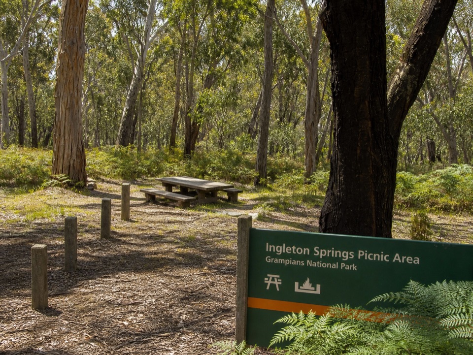 Picnic area · 3 km awayIngleton Springs Picnic AreaA quiet eucalyptus picnic stop in a ferny spring clearingSight · 3.7 km awayThe Fortress WalkSandstone fortress walls and wild Victoria Range views
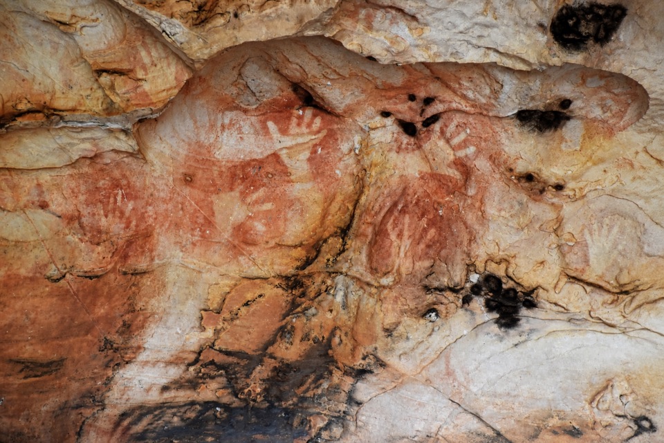 Sight · 5.9 km awayManja ShelterHand stencils and rock art beneath a quiet Victoria Range shelter
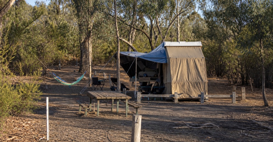 Campground · 6.9 km awayBuandik CampgroundA quiet base for waterfalls and ancient rock art shelters
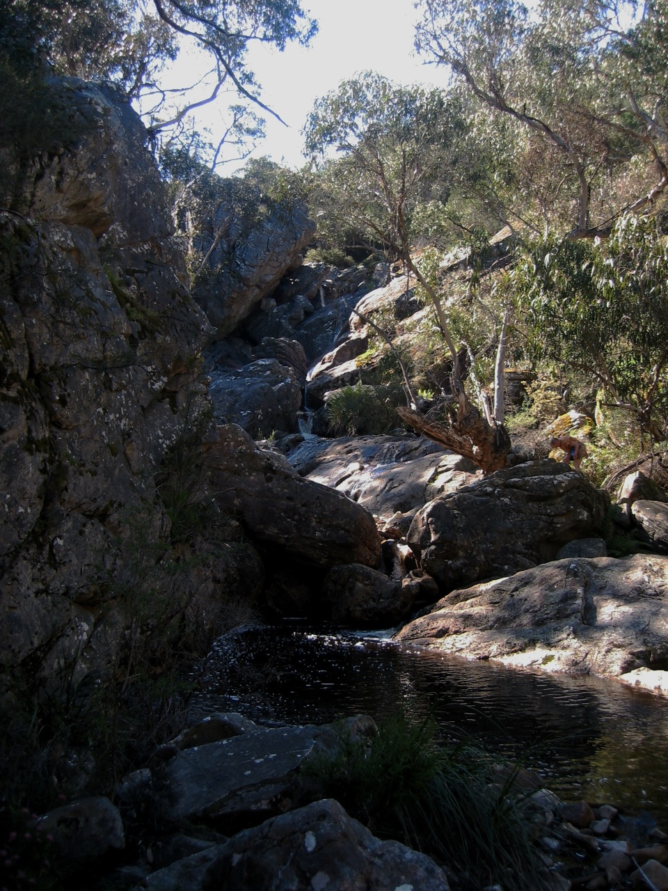 Sight · 7.2 km awayBuandik FallsA tucked-away cascade in the Victoria Range's wild westSight · 7.5 km awayBillimina ShelterA massive sandstone overhang covered in red-ochre bar strokes
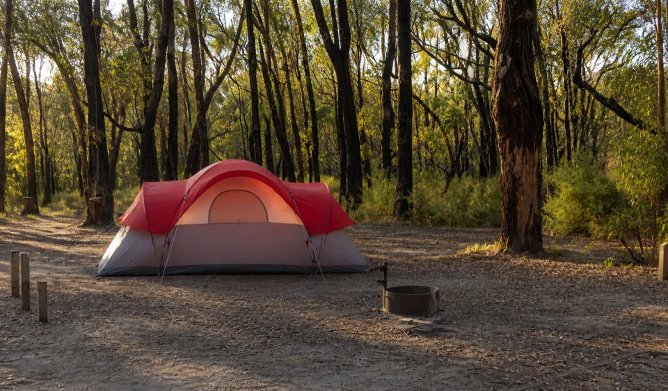 Campground · 10.2 km awayStrachans CampgroundA secluded camp beside the Glenelg headwaters in eucalyptus woodland
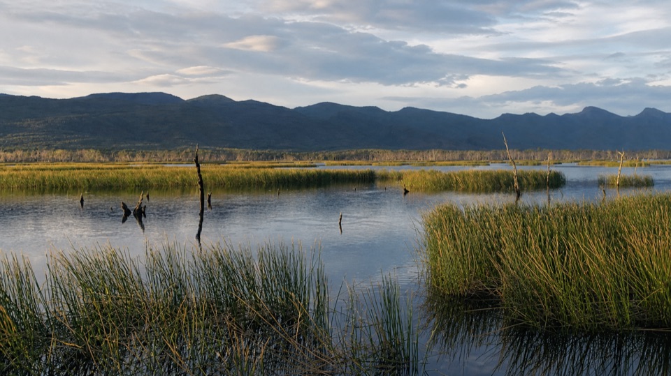 Sight · 10.4 km awayMoora Moora ReservoirReflective water, reedbeds, and the Serra Range in one quiet stop
Parkwolf’s Grampians ranking
The audio tour guide for the drive, plus offline maps, trails, and wildlife heatmaps for when the signal drops.





