Parking
Manja Shelter Carpark, reached from the Henty Highway near Glenisla via Billywing Road, Red Rock Road and Harrops Track. The track begins at the carpark.
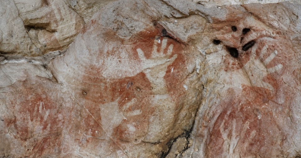
Grampians National Park, VIC
Uphill through stringybark to a sandstone shelter of ancient hand stencils
Overview
Map & elevation
Plan your hike

The highest, rockiest slopes around here are a summer buffet for grizzly bears.
Grampians Tour Guide
Parkwolf is a GPS audio tour guide for Grampians National Park. As you drive, it chimes in with what’s ahead: hidden gems, upcoming stops, history, geology, and wildlife, right through your car’s speakers.
Recorded for this trailhead
Manja Shelter: Hand Stencils in Sandstone“You're approaching the Red Rock Road access toward Manja Shelter, a rock-art site farther into the Victoria Range. Reaching it involves more driving via Harrops Track, then a walk from the Manja Shelter car park.”
Plays as you drive up to this trailhead in the Parkwolf Grampians Tour Guide.
More stories near here in the app
“Fantastic app with many points of information… It’s great to just turn on while you’re driving and it gives you an audio tour of the national Park. We love it!!!!”


Trail guide
An out-and-back track from Manja Shelter Carpark to Manja Shelter and back, 2.6 km return in about one hour. It is also listed as Manja Walk. Rated Australian Grade 3 (Moderate), which assumes reasonable fitness and confidence on rough ground, hills and short steeper sections.
From the carpark the track winds gently uphill through open stringybark woodland, crosses a boardwalk that protects fragile heathland, then continues across sandstone terrain to the shelter. After spending time at the art, you retrace the same line back to the carpark.
Expect uneven natural ground with a steady climb and a few short steeper or rougher stretches. Surfaces along the corridor are a mix of ground and timber boardwalk, and boardwalk or rock can be slippery. The route source reports roughly 94 m of total climbing, with the profile ranging about 233 to 333 m.
Manja Shelter holds some of Victoria's finest Aboriginal hand stencils, along with animal tracks and stick figures. This is a living cultural place. Look, stay back from the rock faces, and leave the art and the shelter exactly as you found them. Nothing should be touched, traced or disturbed.
This is a different trail from the shorter Gulgurn Manja Shelter Walk, which starts at Hollow Mountain Carpark and visits a separate art site. If you were sent to Hollow Mountain, you are at the wrong end of the range.
Parks Victoria prohibits dogs at this site, along with firearms, camping, fires, horses, generators and bicycles. Assistance dog rules are handled separately. The agency also warns that trees and limbs may fall, and that surfaces can be slippery, so watch the ground and avoid lingering under large limbs in wind.
From the Henty Highway near Glenisla, take Billywing Road for about 4.9 km, keep slightly right onto Red Rock Road for about 650 m, turn left onto Harrops Track for about 4.2 km, then make the short final turn to Manja Shelter Carpark. The track starts right at the carpark.
The distance is the full return trip, so budget the hour for 2.6 km of walking rather than a quick roadside stop. The climb is short but continuous, and the uneven, sometimes slippery footing is the main reason for the Grade 3 rating.
Wildlife
 157 sightingsShort-beaked EchidnaMost seen around 6 PMSighting map
 37 sightingsPowerful OwlMost seen around 6 PMSighting map
 59 sightingsWedge-tailed EagleMost seen around 11 AMSighting map
 24 sightingsEastern Brown SnakeMost seen around 11 AMSighting map
 10 sightingsTiger SnakeMost seen around noonSighting map
 29 sightingsRed-bellied Black SnakeMost seen around 11 AMSighting map
Sighting maps show where each species has been reported across Grampians. Wildlife moves, so no sighting is guaranteed.
Keep exploring
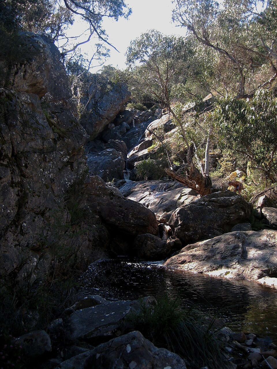 ModerateBuandik Falls Walk1.2 km · 1 hr · 2.1 km awayShort creek walk to a rocky cascade and pool in remote bushland
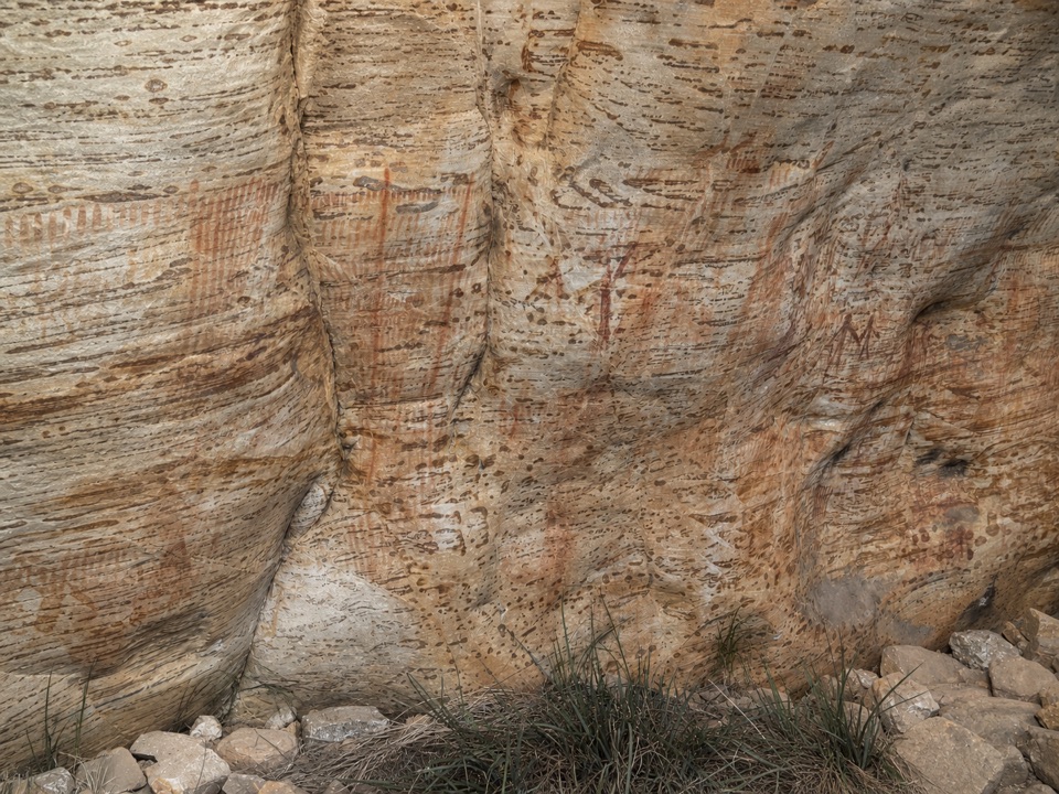 ModerateBillimina Walk2.2 km · 1 hr · 2.1 km awayShort climb past a falls to a rock shelter of ochre motifs
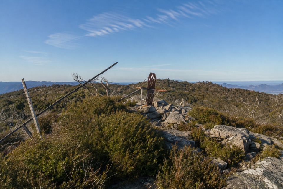 ChallengingMount Thackeray Summit Walk2.7 km · 1.5 hr · 6.6 km awayShort, steep rock scramble to a broken trig with sweeping range views
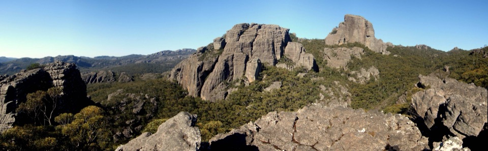 ChallengingThe Fortress and Mt Thackeray Overnight Hike40.4 km · 18 hr · 7.2 km awayTwo-day sandstone loop to remote clifftops, big views, rough 4WD tracksChallengingThe Fortress Walk6.5 km · 3 hr · 7.2 km awayA steep scramble to weathered sandstone towers and caves
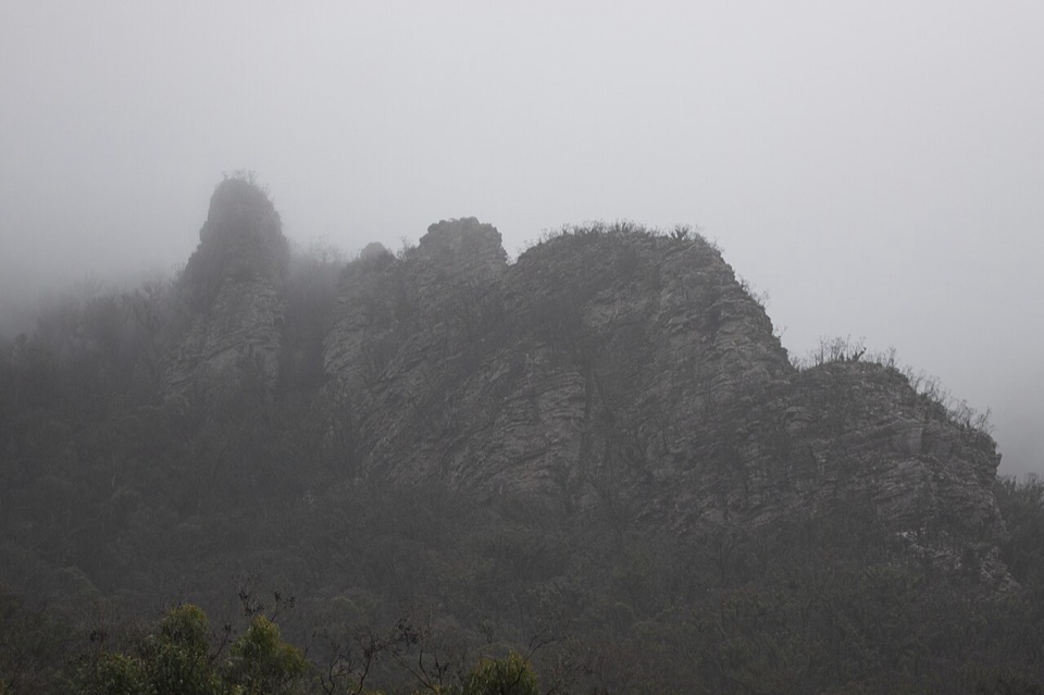 ChallengingThe Chimney Pots Walk3.7 km · 1.8 hr · 13.8 km awayShort, steep sandstone loop with scrambly ledges and big ridge views
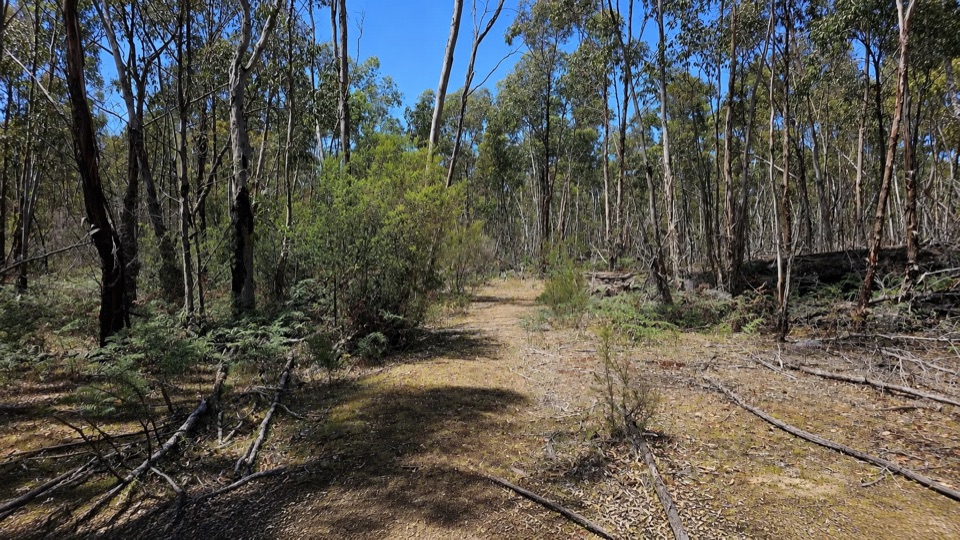 EasyRed Gum Walk2 km · 45 min · 13.8 km awayGentle 2 km woodland circuit among river red gums and swamp gums
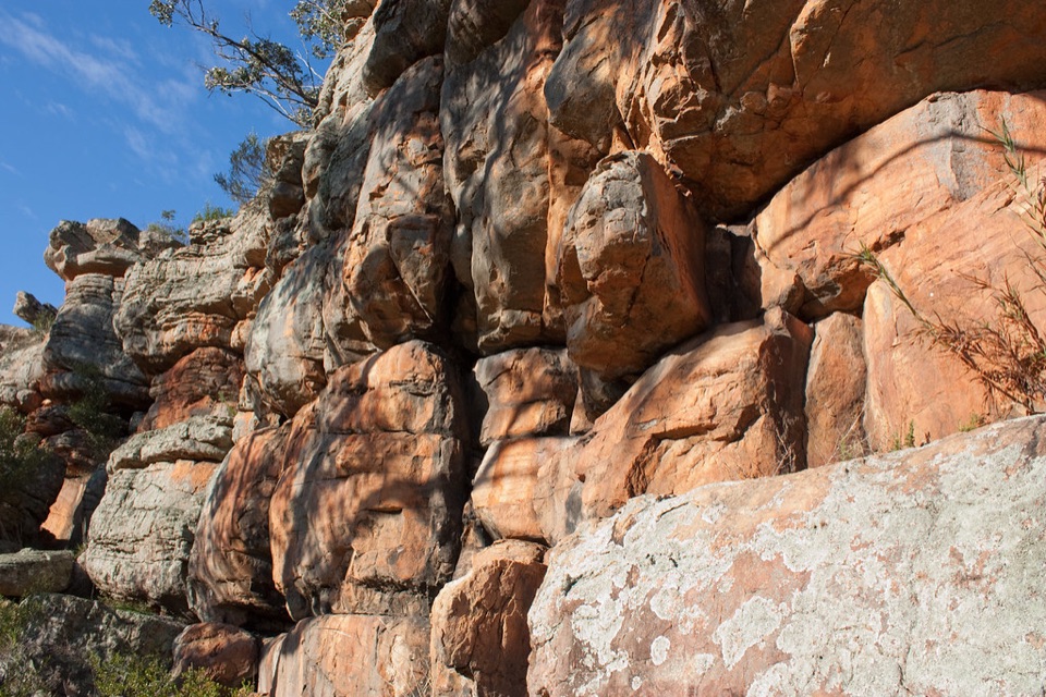 EasyPaddy Castle Walk0.6 km · 36 min · 15 km awayShort rocky path to a banded sandstone outcrop in Victoria Valley
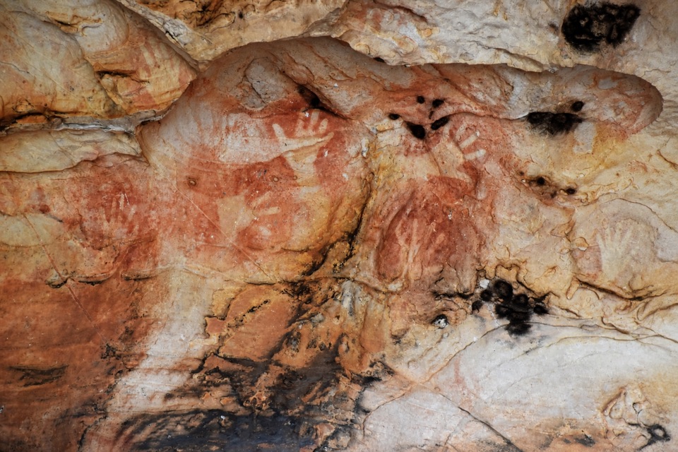 Sight · 1 km awayManja ShelterHand stencils and rock art beneath a quiet Victoria Range shelter
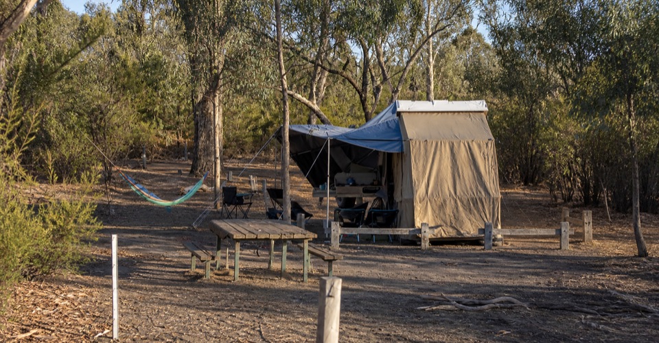 Campground · 2 km awayBuandik CampgroundA quiet base for waterfalls and ancient rock art sheltersSight · 2.3 km awayBillimina ShelterA massive sandstone overhang covered in red-ochre bar strokes
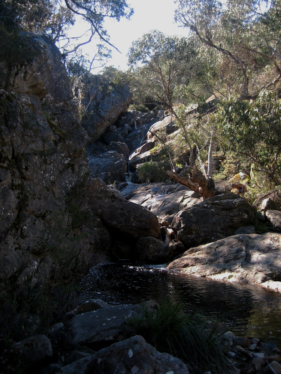 Sight · 2.6 km awayBuandik FallsA tucked-away cascade in the Victoria Range's wild westSight · 5 km awayThe Fortress WalkSandstone fortress walls and wild Victoria Range views
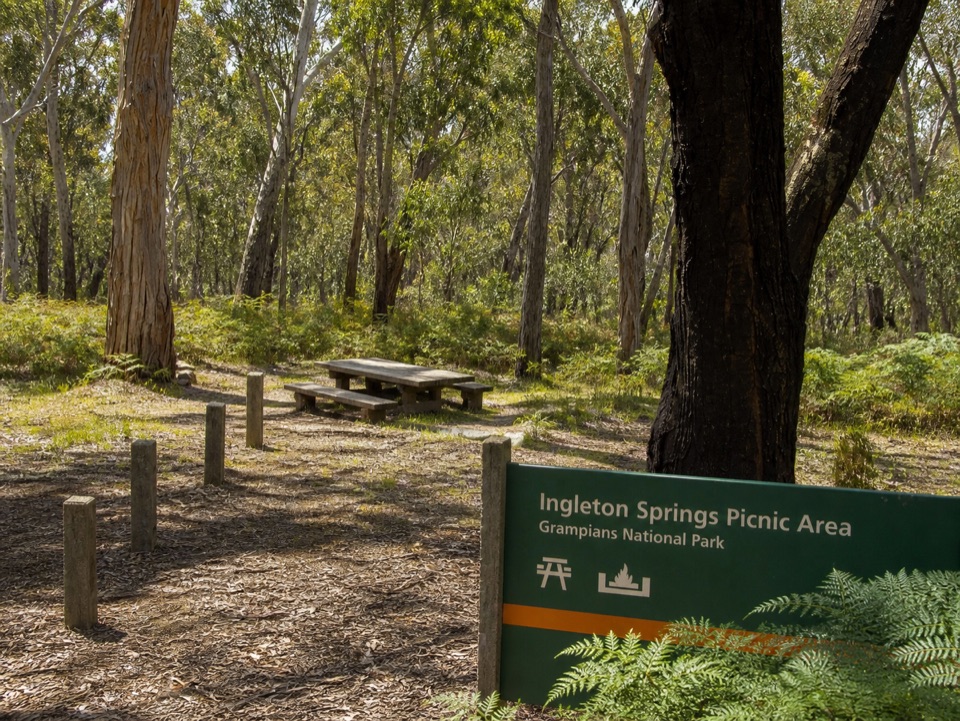 Picnic area · 9.6 km awayIngleton Springs Picnic AreaA quiet eucalyptus picnic stop in a ferny spring clearing
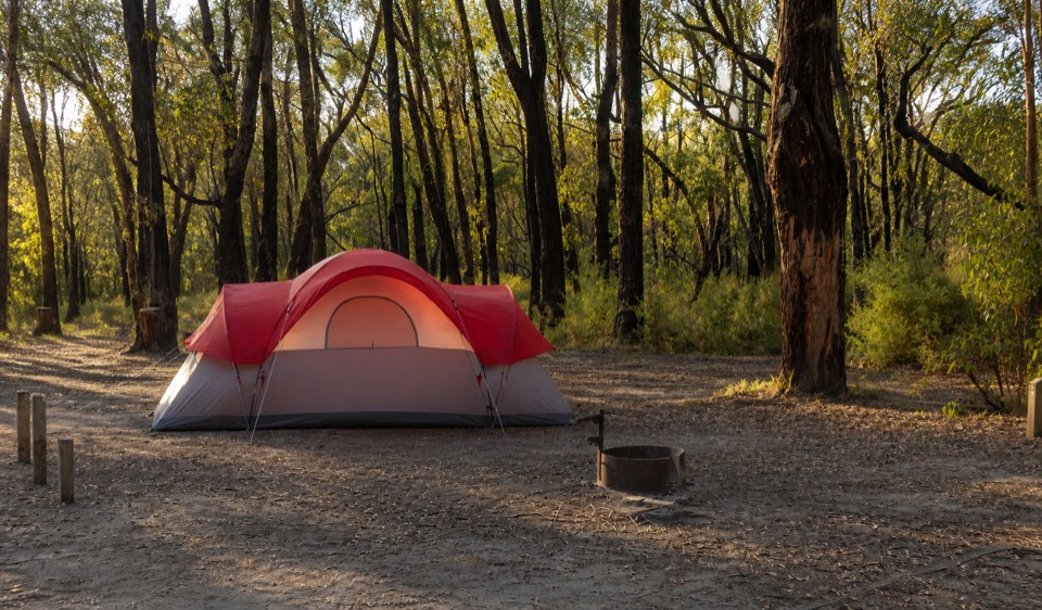 Campground · 12 km awayStrachans CampgroundA secluded camp beside the Glenelg headwaters in eucalyptus woodland
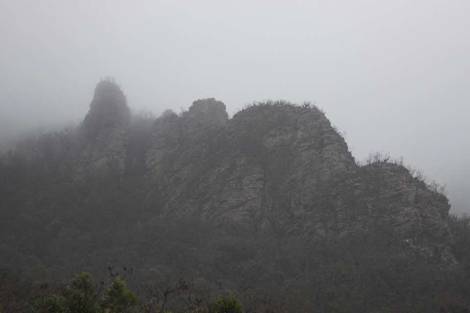 Sight · 12.6 km awayChimney PotsTowering sandstone pillars above a steep, quiet bushwalk
Parkwolf’s Grampians ranking

The audio tour guide for the drive, plus offline maps, trails, and wildlife heatmaps for when the signal drops.





