Zumsteins Historic Area in Grampians National Park

#9 of 46 sights in Grampians

Sight · Grampians National Park

Zumsteins Historic Area

Riverside picnic stop with rare pise cottages and a history walk

Photo: Wikimedia Commons
Type
Sight
Nearest trail
0.1 km
Audio stories
4 nearby
  • Trailhead
  • Restrooms
  • Exhibit
  • Parking

Hear the audio tour

Zumsteins: Cottages, River and Fish Falls

Overview

About Zumsteins Historic Area

Why stop

  • Riverside setting with a distinctive local history
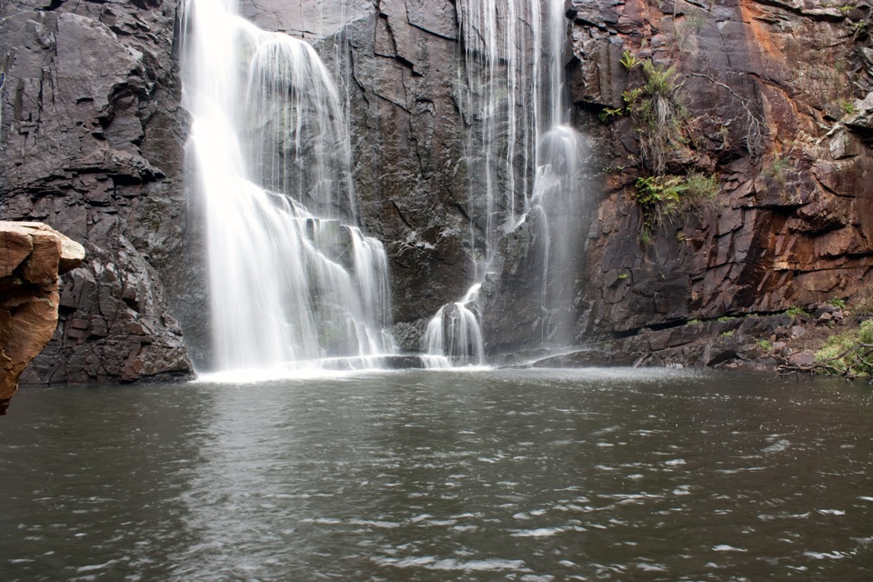
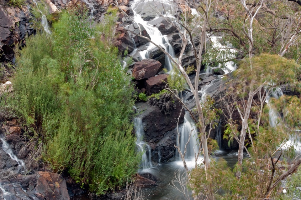
  • Easy base for the Fish Falls and MacKenzie Falls walks

Heads up

  • The cottages are remnants, so the historic walk is brief
  • Less dramatic than the nearby waterfalls
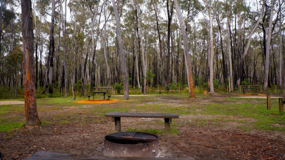
Zumsteins is a calm riverside stop with more substance than a quick picnic break. The short historic walk passes the remnants of an early holiday retreat beside the MacKenzie River, so you get a little local history, shade, and water without committing to a major hike. It is a good reset between the road and the bigger waterfall walks.
Parkwolf’s verdictWhy stop

Map

Where it is

Loading the Grampians map
Full map
SightZumsteins Historic Area-37.09344, 142.38681
Keep this map with you offline in the Parkwolf app

Plan your stop

Before you go

Best time to visit

Come on a weekday or early in the day for the quietest feel. Warm weekends bring more family picnickers, and the site is less peaceful once the shelters fill. Spring and autumn are comfortable seasons for lingering outdoors; in summer, go earlier or later to avoid the heat. Plan for daylight so you can read the signs and see the ruins clearly. For photography, mid-morning gives even light beneath the trees, while late afternoon adds warmer colour but can leave the river side in shade.

Pack your own food and drinking water. The site has picnic tables, shelters, electric barbecues, accessible toilets, parking, and accessible sections of the path, but it is not a place to shop for supplies. Pair it with the nearby falls if you want a fuller half-day; if you only have time for one major stop, the falls are the more dramatic choice.


5 active Grampians alerts

  • ClosureBushfire-damaged walks and picnic area remain closedThe Fortress, Red Gum, Billimina, Chimney Pots and Brownings Loop walks, plus Mafeking Picnic Area, remain closed because of track or site damage from the 2024/25 summer bushfires.Official details
  • ClosureMackenzie Falls precinct closed during constructionThe Mackenzie Falls (Migunang wirab) Precinct has no vehicle or visitor access during major construction works expected to finish by the end of 2026.Official details
See all 5 alerts
A park ranger sits on a dash-mounted phone, talking, as Parkwolf’s Tour Guide plays “Army Cutworm Moths: A Grizzly Bear Buffet” on Grand Loop Road below Dunraven Pass in Yellowstone
Parkwolf Tour GuideThe highest, rockiest slopes around here are a summer buffet for grizzly bears.

Grampians Tour Guide

Your drive to Zumsteins Historic Area, narrated.

Parkwolf is a GPS audio tour guide for Grampians National Park. As you drive, it chimes in with what’s ahead: hidden gems, upcoming stops, history, geology, and wildlife, right through your car’s speakers.

Recorded for this place

Zumsteins: Cottages, River and Fish Falls
0:00 / 1:05
“You're coming up on Zumsteins, where a short riverside walk takes you through the remains of an old holiday retreat. The historic loop is only about 250 metres, so allow 15 to 30 minutes to wander and read the signs.”

Plays as you drive up to Zumsteins Historic Area in the Parkwolf Grampians Tour Guide.

More stories near here in the app

  • The Wallaby in the Undergrowth
  • A New Way Through the Gorge
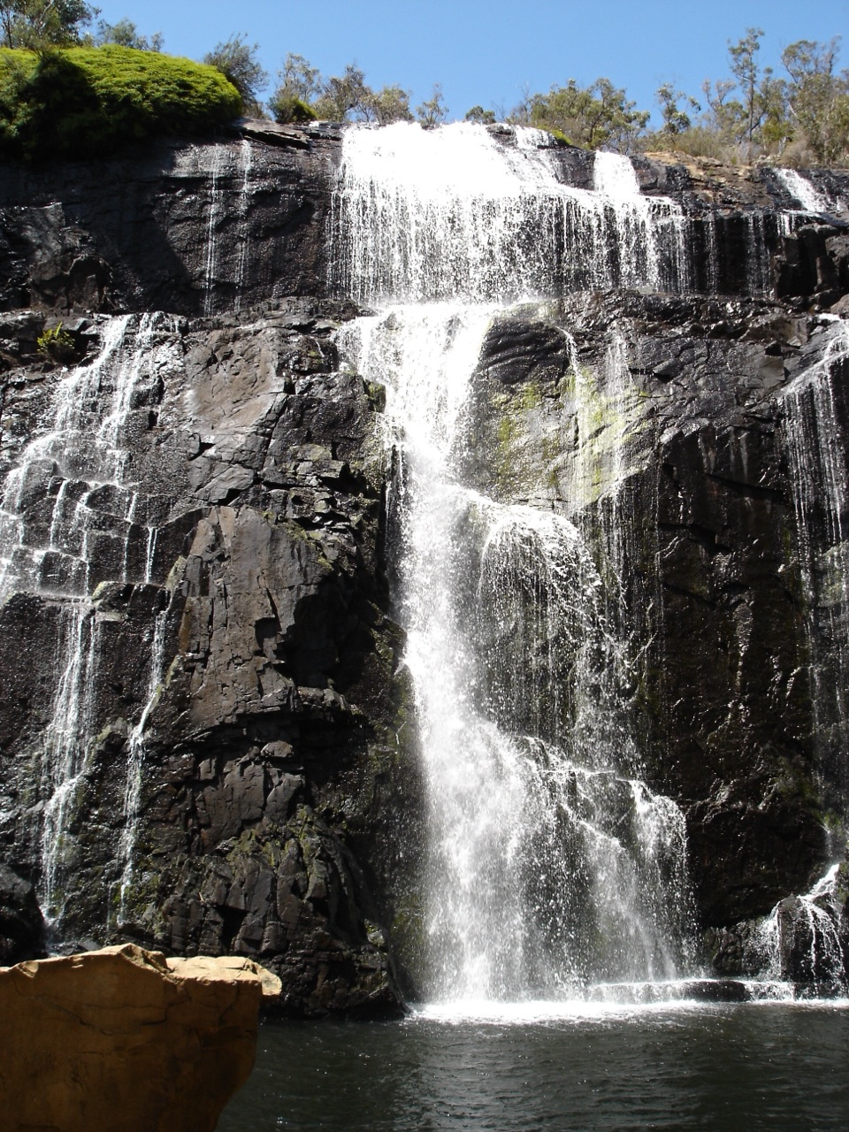
  • MacKenzie Falls: Choose Your Walk
  • The Diver on the Dead Branch
  • 233 audio storiesacross Grampians’s roads, triggered by GPS as you drive
  • Wildlife heatmapsfor Short-beaked Echidna, Powerful Owl, Wedge-tailed Eagle, and 13 more
  • Works offlinemaps, 81 trails, 62 places, and audio download before you lose signal
  • CarPlay readysimple controls built for the drive
★★★★★
“Fantastic app with many points of information… It’s great to just turn on while you’re driving and it gives you an audio tour of the national Park. We love it!!!!”
JMJamesApp Store review
Download Parkwolf on the App StoreGet Parkwolf on Google Play

4.7 from 8,600+ ratings

Guide

More about Zumsteins Historic Area

What you will seeFollow the interpretive signs through the former settlement and look for the surviving pise…

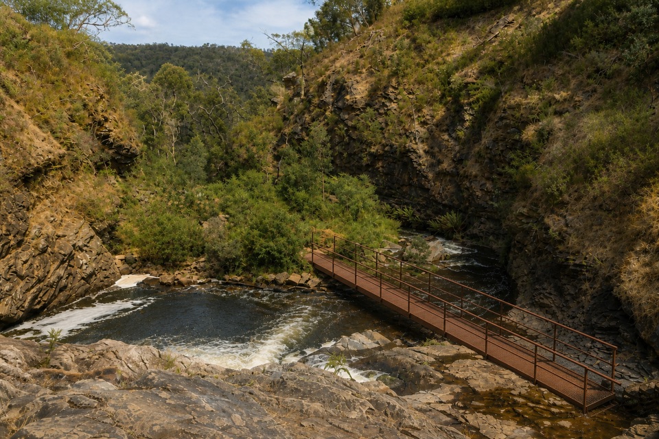
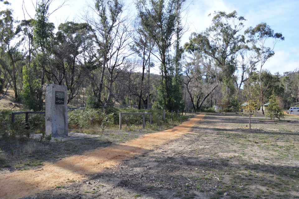
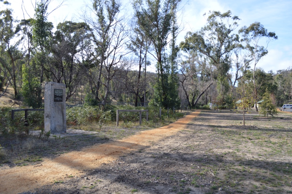
Follow the interpretive signs through the former settlement and look for the surviving pise cottages, made from rammed earth and local material in the 1930s. The cottages, old landscaping, and Walter Zumstein memorial are reminders that this was once a lived-in holiday destination, not just a picnic ground. A boardwalk follows the river to a viewing platform, with compacted paths through the picnic area.

The river is worth slowing down for. A platypus may pass by, but sightings are luck rather than something to plan around. The grassy clearing can also be a pleasant place to watch for everyday park wildlife, especially when the area is quiet. Keep to the paths and leave the fragile historic remains alone.

Walks and historyThe historic circuit is only about 250 metres.

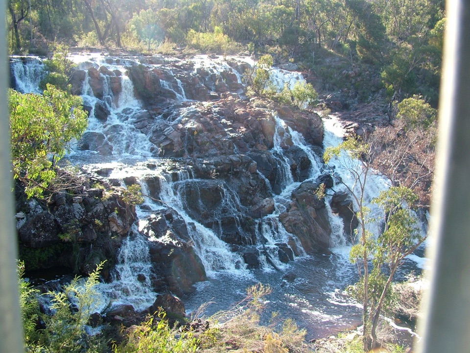
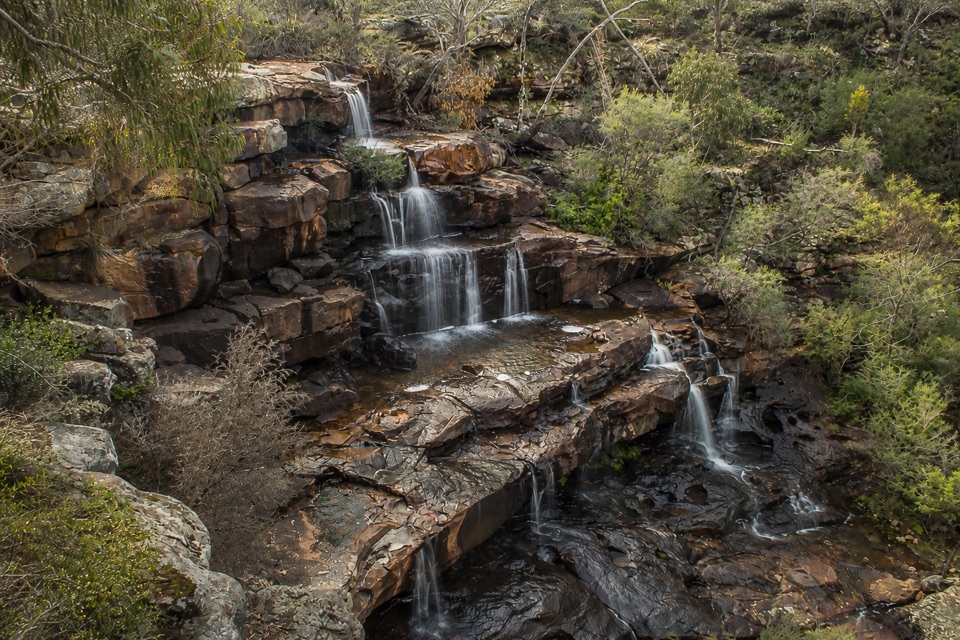
The historic circuit is only about 250 metres. From the picnic area, the track continues towards Fish Falls, about 2.3 kilometres away, and MacKenzie Falls, about 3.7 kilometres away. The longer walks follow the river and become a more substantial outing, so carry water and allow enough time to return.

Walter Zumstein first visited the site as a beekeeper in 1906 and established an apiary there in 1910. He and Jean later built three rammed-earth cottages, a tennis court, and a swimming pool, turning the place into a popular retreat. The campground closed in 1994 after concerns about pollution in the river, leaving the historic remnants and picnic area that visitors see today.

Wildlife

Wildlife in Grampians

All Grampians wildlife maps

Sighting maps show where each species has been reported across Grampians. Wildlife moves, so no sighting is guaranteed.

Keep exploring

Near Zumsteins Historic Area

See it all on the map

Trails nearby

More stops nearby

Parkwolf’s Grampians ranking

Top sights in Grampians

All 62 places
  1. 1MacKenzie Falls (Migunang wirab)Sight
  2. 2Pinnacle LookoutSight
  3. 3Boroka LookoutSight
  4. 4Reeds LookoutSight
  5. 5The BalconiesSight
  6. 6Mount William (Duwul)Sight

Take Parkwolf to Grampians.

The audio tour guide for the drive, plus offline maps, trails, and wildlife heatmaps for when the signal drops.

4.7 from 8,600+ ratings

Download Parkwolf on the App StoreGet Parkwolf on Google Play