Parking
Small parking area at Burrong Falls Carpark off Rose Creek Road. Approach via Northern Grampians Road, then Rose Creek Road for about 8 km to the falls.
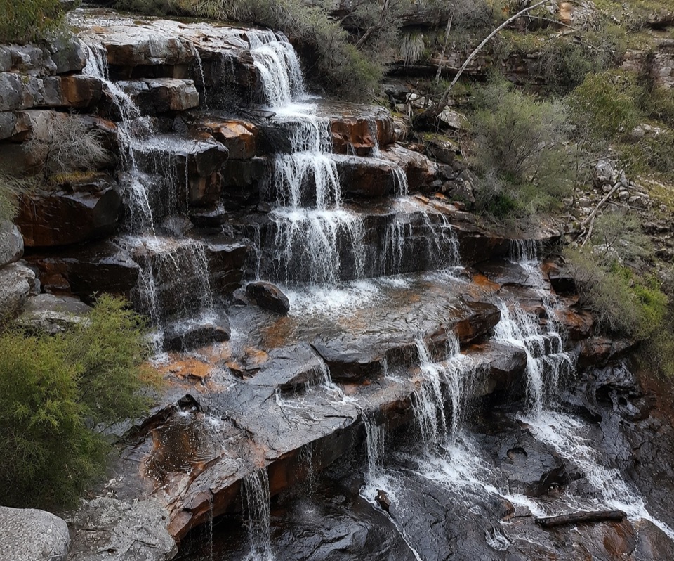
Grampians National Park, VIC
Short bush track to terraced cascades and gorge-side rock pools
Overview
This is a brief waterfall stop rather than a headline day walk, but it delivers a good deal of scenery for the distance if you accept the rough footing near the falls.
 Parkwolf’s verdictWorth knowing
Map & elevation
Plan your hike

The highest, rockiest slopes around here are a summer buffet for grizzly bears.
Grampians Tour Guide
Parkwolf is a GPS audio tour guide for Grampians National Park. As you drive, it chimes in with what’s ahead: hidden gems, upcoming stops, history, geology, and wildlife, right through your car’s speakers.
Recorded for this trailhead
Burrong Falls: The View Without the Scramble“Burrong Falls Carpark is coming up, with a short bush walk to cascades stepping down rusty sandstone. Stay with the formed track and lookout for a waterfall view without taking on the rough scramble to the lower pools.”
Plays as you drive up to this trailhead in the Parkwolf Grampians Tour Guide.
More stories near here in the app
“Fantastic app with many points of information… It’s great to just turn on while you’re driving and it gives you an audio tour of the national Park. We love it!!!!”


Trail guide
A short out-and-back walk from Burrong Falls Carpark to Burrong Falls, counted as 700 m total return, roughly 350 m each way. It is not a loop and not a one-way walk. The track leaves the small parking area and runs through bush on a formed walking surface to the falls area, where short mapped branches lead to the cliff-side viewing point and to the lower-falls access. From the lookout the waterfall is seen across and below, with the creek dropping through stepped rock. You return by the same track.
Rated moderate, aligned with a Grade 3 classification and about 1 hour for the return walk including time at the viewpoints. The climbing is modest, with roughly 44 m of total ascent and a route range near 290 to 330 m, but the grade comes from slopes, steps and uneven footing rather than length.
Anyone unsure of loose or steep rock can stay on the formed track and lookout and still see the waterfall.
Burrong Falls is a terraced sandstone waterfall on Rose Creek, with cascades stepping between rock pools inside a narrow gorge. Flow is most reliable through winter and spring and typically drops away over summer, so the falls can be much reduced or dry outside the wetter months.
Access is from the small parking area at Burrong Falls Carpark off Rose Creek Road. The durable approach is via Northern Grampians Road and then Rose Creek Road, with the falls about 8 km along Rose Creek Road from the turnoff.
Dogs are not allowed. Assistance dogs are permitted subject to entry requirements. Camping, fires, fishing, horses, bicycles, firearms and generators are also prohibited here.
Keep back from edges, watch children closely, and choose footwear with grip.
Wildlife
 157 sightingsShort-beaked EchidnaMost seen around 6 PMSighting map
 37 sightingsPowerful OwlMost seen around 6 PMSighting map
 59 sightingsWedge-tailed EagleMost seen around 11 AMSighting map
 24 sightingsEastern Brown SnakeMost seen around 11 AMSighting map
 10 sightingsTiger SnakeMost seen around noonSighting map
 29 sightingsRed-bellied Black SnakeMost seen around 11 AMSighting map
Sighting maps show where each species has been reported across Grampians. Wildlife moves, so no sighting is guaranteed.
Keep exploring
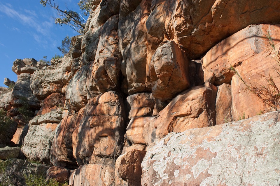 EasyPaddy Castle Walk0.6 km · 36 min · 3.6 km awayShort rocky path to a banded sandstone outcrop in Victoria Valley
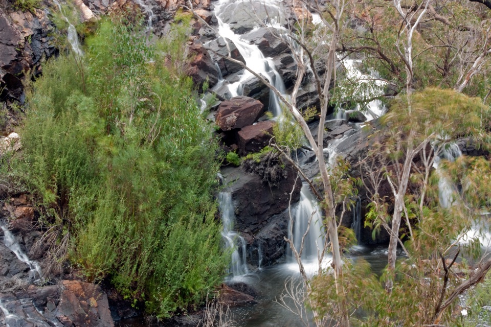 EasyBroken Falls and Cranages Lookouts1.3 km · 30 min · 5.2 km awayShort paved stroll to waterfall views above a rocky river gorge
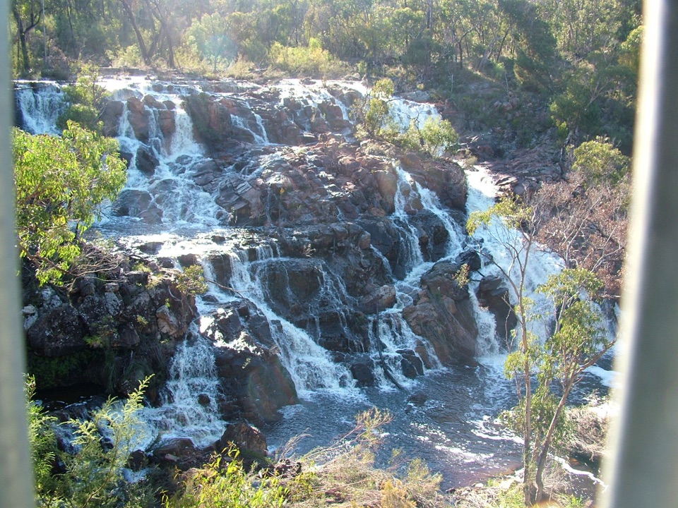 EasyMackenzie Falls Lookout Walk1.6 km · 45 min · 5.2 km awaySealed forest loop to a lookout above falls and sandstone gorge
 ModerateMackenzie Falls Walk2 km · 1.3 hr · 5.3 km awaySteep 260 steps down to a thundering waterfall, then back up
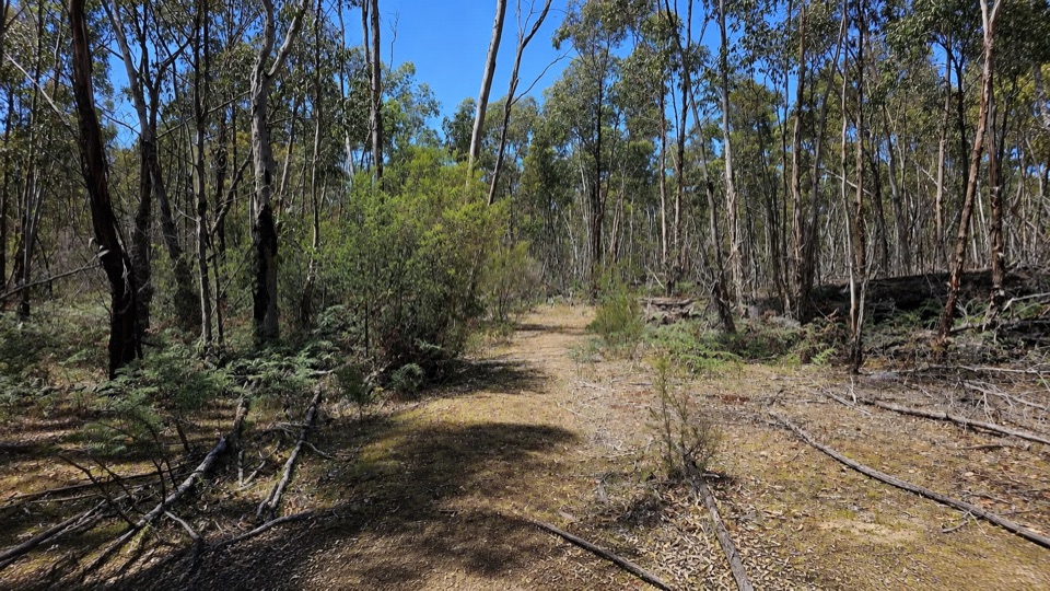 EasyRed Gum Walk2 km · 45 min · 5.6 km awayGentle 2 km woodland circuit among river red gums and swamp gums
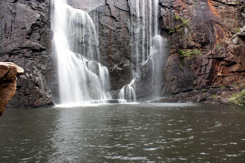 ChallengingMackenzie River Walk7 km · 3.5 hr · 6.1 km awayRock hopping and river crossings to the base of Mackenzie Falls
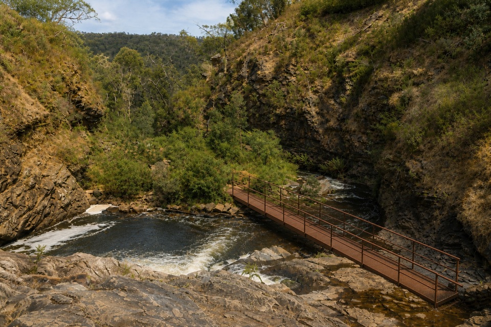 ModerateFish Falls Walk4.8 km · 2.5 hr · 6.1 km awayFollow the MacKenzie River upstream to terraced cascades and a quiet pool
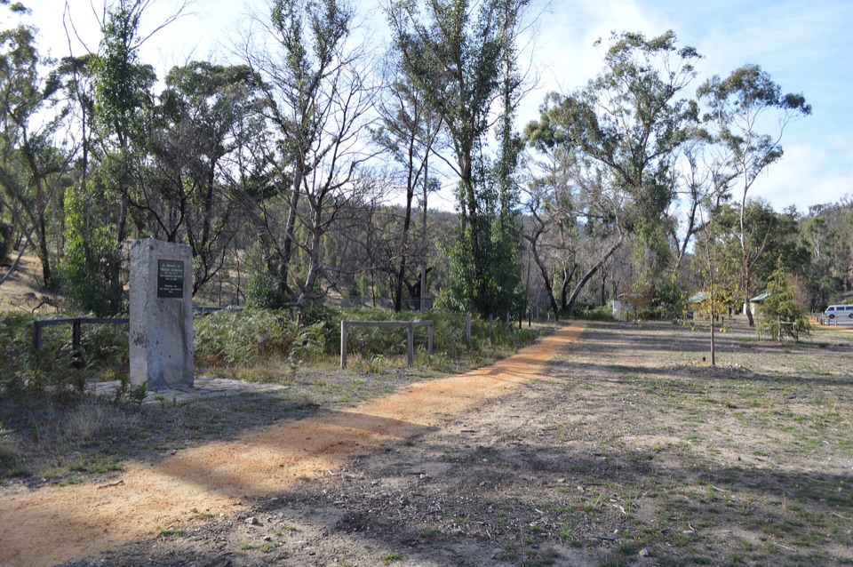 EasyZumsteins Historic Walk0.3 km · 30 min · 6.1 km awayPise cottages, a river boardwalk and beekeeping history in 250 easy metres
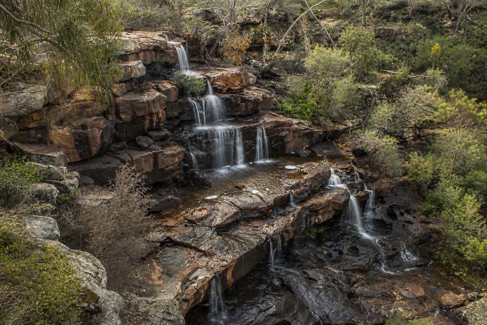 Sight · 0.3 km awayBurrong FallsTerraced cascades over sandstone steps in a quiet bush settingSight · 3.8 km awayPaddy CastleA short scramble to warm sandstone and wide valley views
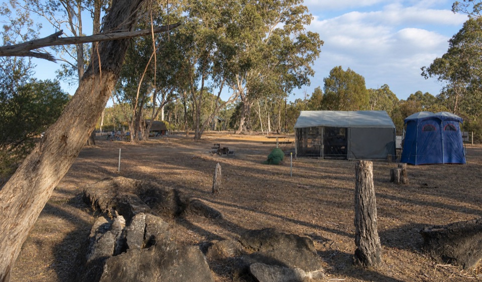 Campground · 4.8 km awayBoreang CampgroundA quiet bush camp with wildlife, fire rings, and open woodlandSight · 4.9 km awayFish FallsTerraced cascades tucked along a quiet gorge walk
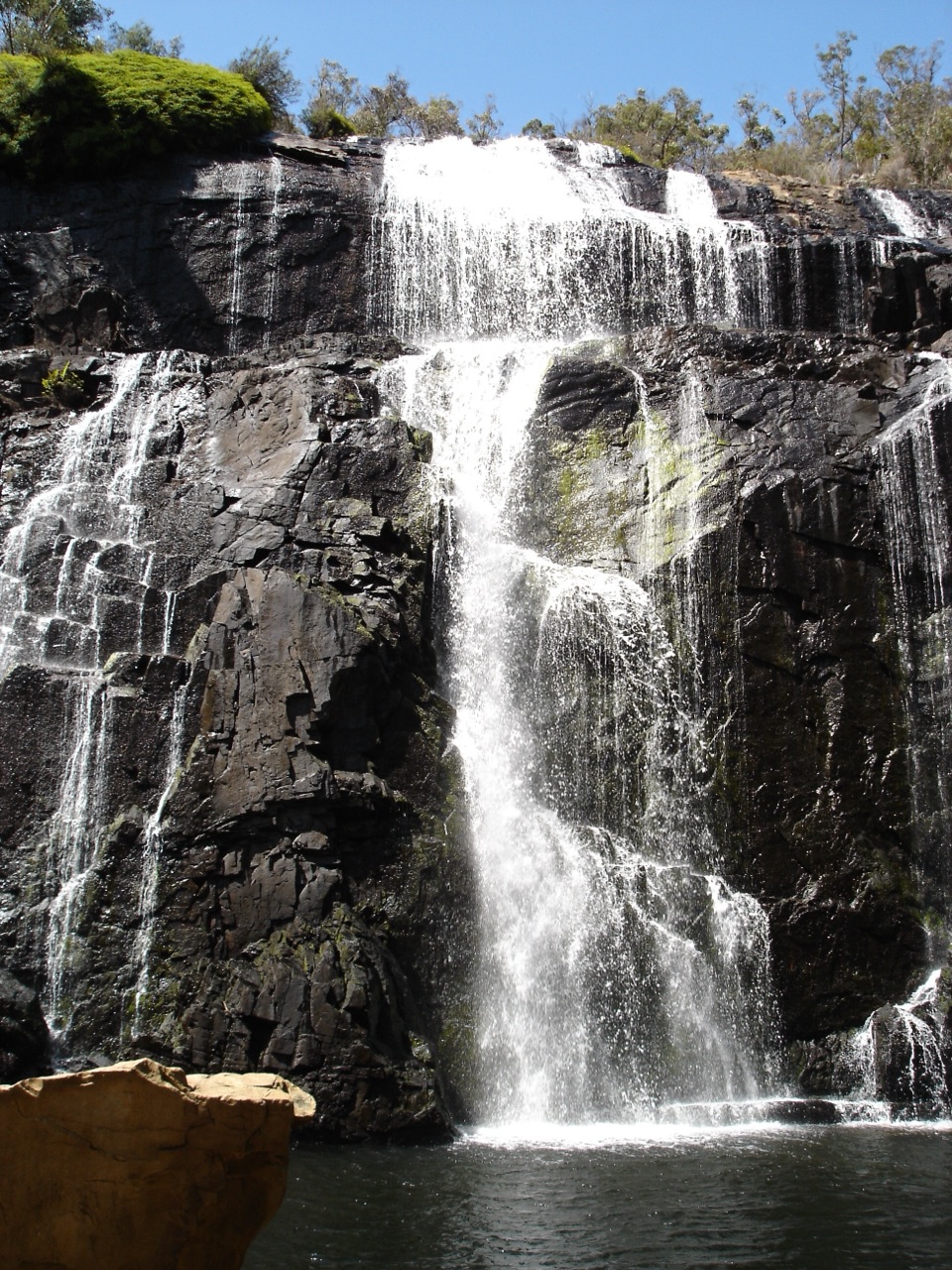 Sight · 5 km awayMacKenzie Falls (Migunang wirab)A thunderous year-round waterfall with a steep stair climb
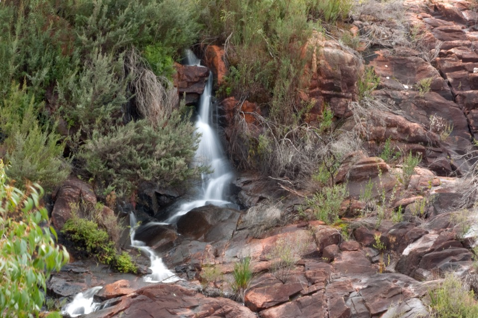 Sight · 5.2 km awayBroken Falls LookoutA short accessible walk to sweeping Broken Falls views
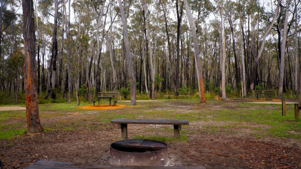 Campground · 6 km awaySmiths Mill CampgroundA shady woodland camp with fire rings and waterfall access
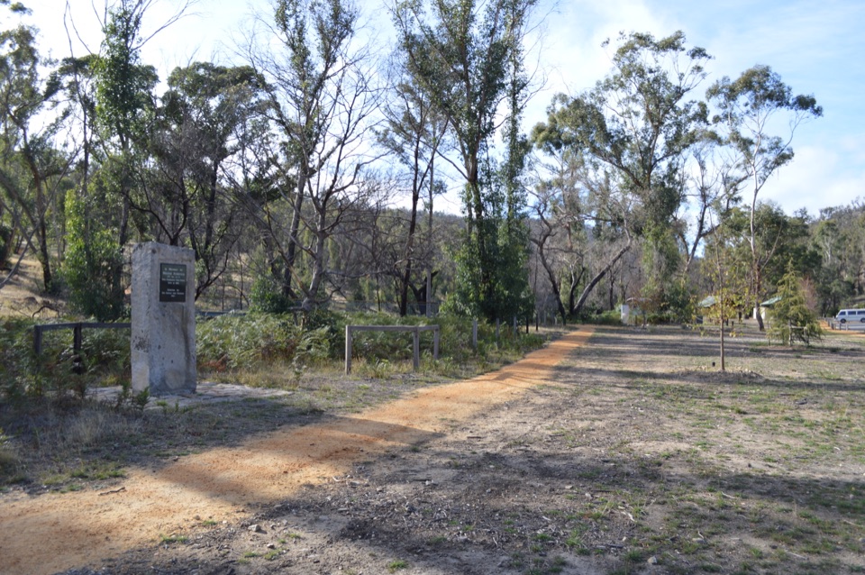 Sight · 6.1 km awayZumsteins Historic AreaRiverside picnic stop with rare pise cottages and a history walk
Parkwolf’s Grampians ranking
The audio tour guide for the drive, plus offline maps, trails, and wildlife heatmaps for when the signal drops.




