Parking
Park at Zumsteins Picnic Area off Mount Victory Road beside the Mackenzie River. Accessible toilets, picnic shelters, picnic tables and electric barbecues are at the site.
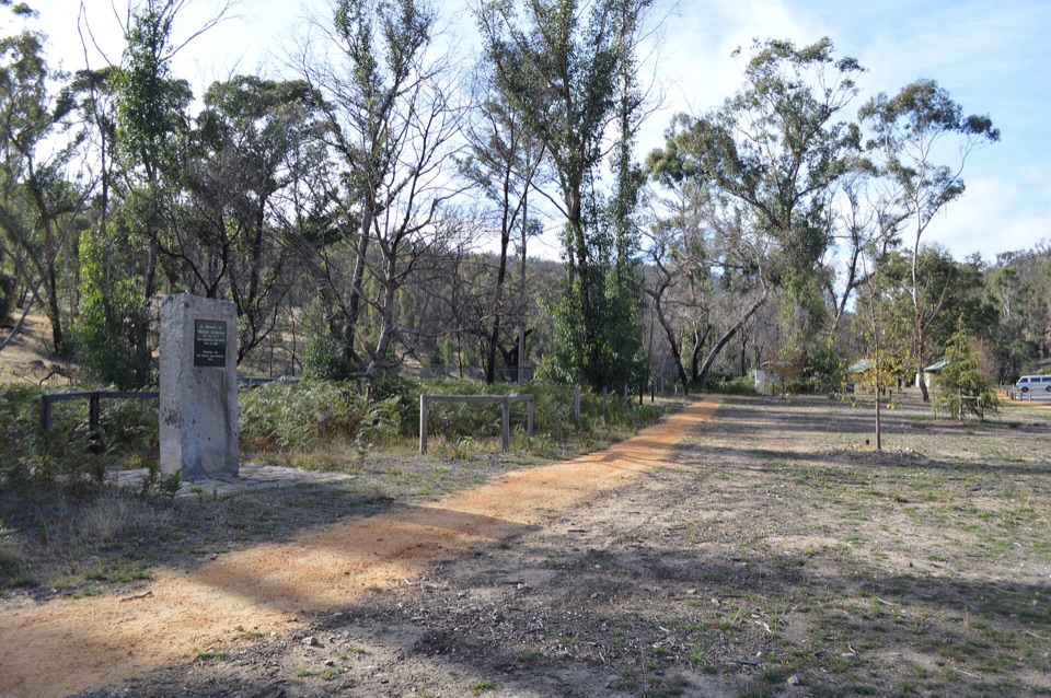
Grampians National Park, VIC
Pise cottages, a river boardwalk and beekeeping history in 250 easy metres
Overview
Map & elevation
Plan your hike

The highest, rockiest slopes around here are a summer buffet for grizzly bears.
Grampians Tour Guide
Parkwolf is a GPS audio tour guide for Grampians National Park. As you drive, it chimes in with what’s ahead: hidden gems, upcoming stops, history, geology, and wildlife, right through your car’s speakers.
Recorded for this trailhead
Zumsteins: Cottages, River and Fish Falls“You're coming up on Zumsteins, where a short riverside walk takes you through the remains of an old holiday retreat. The historic loop is only about 250 metres, so allow 15 to 30 minutes to wander and read the signs.”
Plays as you drive up to this trailhead in the Parkwolf Grampians Tour Guide.
More stories near here in the app
“Fantastic app with many points of information… It’s great to just turn on while you’re driving and it gives you an audio tour of the national Park. We love it!!!!”


Trail guide
This is a closed loop through the Zumsteins Historic Area, starting and finishing at the Zumsteins Picnic Area. The total loop distance is 250 metres, and most people take 15 to 30 minutes because you stop to read things rather than because it is hard work. Difficulty is easy, about 2 out of 10.
The loop circles the former Zumstein holiday retreat. You pass pise (rammed earth) cottages, the Walter Zumstein memorial, and interpretive signs that fill in the story, all set among trees with the Mackenzie River close by. A short timber boardwalk leads out to a viewing platform over the Mackenzie River, which is the natural turning point of the walk before you complete the circuit back to the picnic area.
Walter Zumstein first came here in 1906 and set up an apiary in 1910. With Jean, he developed the site into a holiday retreat through the 1930s, with three pise cottages, a tennis court and a swimming pool. Come for the history and the river edge, and set your expectations accordingly. There is no climbing and no wilderness feel.
Underfoot you get mostly compacted paths, a formed timber boardwalk and viewing platform, and concrete and wooden bridges, with some uneven ground in places. The boardwalk and viewing platform are described as pram and wheelchair accessible, but the full loop mixes other formed surfaces and uneven sections, so it is not guaranteed to be uniformly barrier free. If wheels are a factor, the boardwalk and platform section is the reliable part, and you can turn back rather than commit to the whole circuit.
Start at Zumsteins Picnic Area, beside the Mackenzie River. Park at the Zumsteins Picnic Area off Mount Victory Road and start the loop from the picnic area. On site you will find accessible toilets, picnic shelters, picnic tables and electric barbecues, which makes this an easy add on to a lunch stop.
Ordinary dogs are not permitted anywhere in the national park, including here. Assistance dogs are handled under separate entry requirements.
From the same area, Fish Falls is the longer and more natural river walk, and Mackenzie Falls is substantially more strenuous. Pairing the Zumsteins loop with one of those gives you a full outing, with the history first and the legwork after.
Wildlife
 157 sightingsShort-beaked EchidnaMost seen around 6 PMSighting map
 37 sightingsPowerful OwlMost seen around 6 PMSighting map
 59 sightingsWedge-tailed EagleMost seen around 11 AMSighting map
 24 sightingsEastern Brown SnakeMost seen around 11 AMSighting map
 10 sightingsTiger SnakeMost seen around noonSighting map
 29 sightingsRed-bellied Black SnakeMost seen around 11 AMSighting map
Sighting maps show where each species has been reported across Grampians. Wildlife moves, so no sighting is guaranteed.
Keep exploring
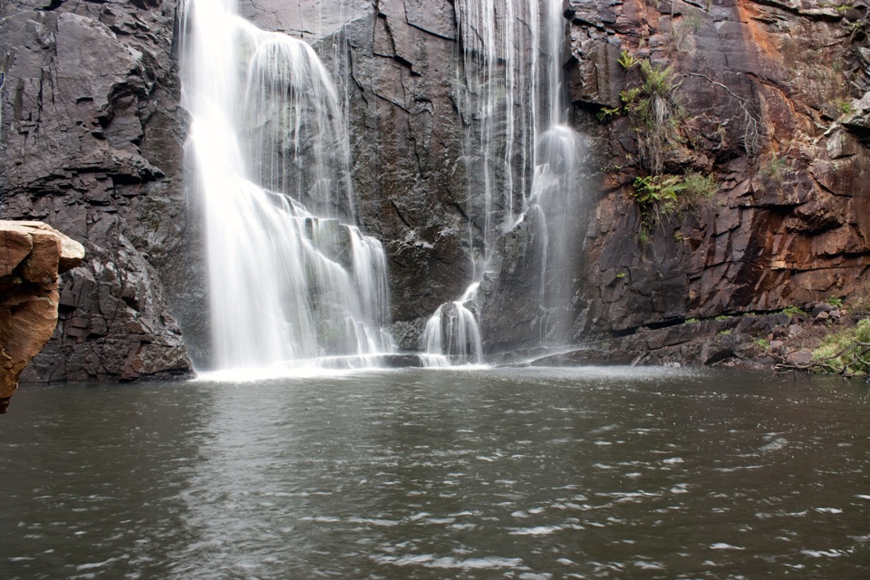 ChallengingMackenzie River Walk7 km · 3.5 hr · At the trailheadRock hopping and river crossings to the base of Mackenzie Falls
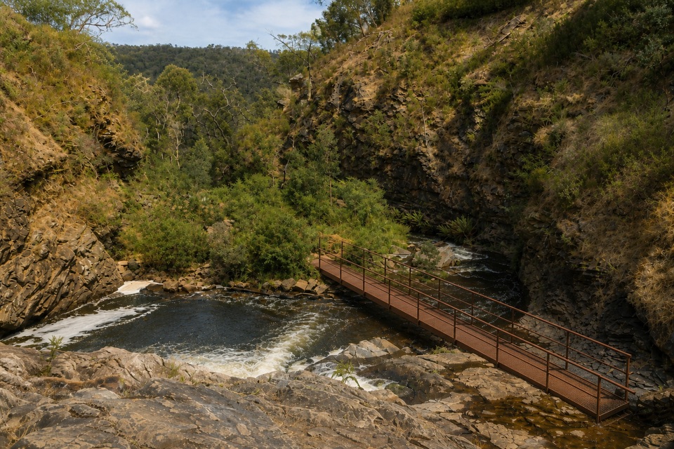 ModerateFish Falls Walk4.8 km · 2.5 hr · At the trailheadFollow the MacKenzie River upstream to terraced cascades and a quiet pool
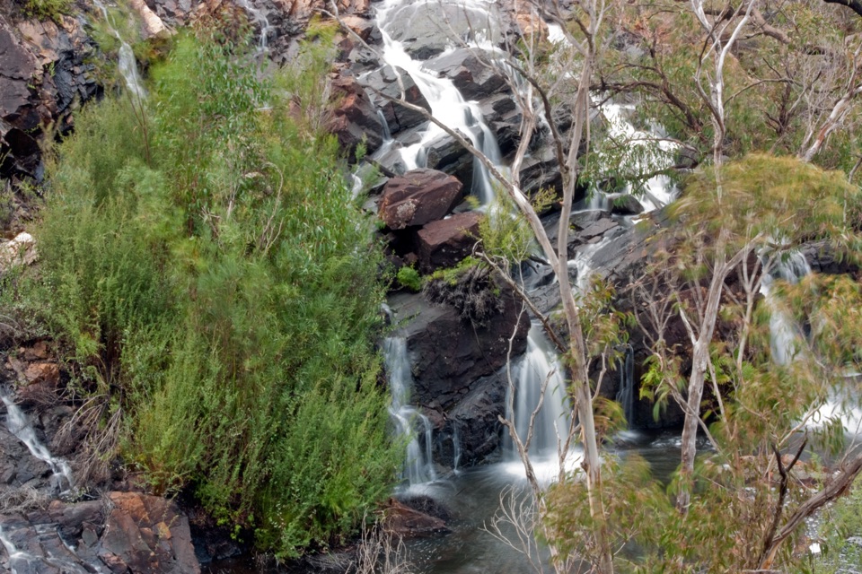 EasyBroken Falls and Cranages Lookouts1.3 km · 30 min · 2.9 km awayShort paved stroll to waterfall views above a rocky river gorge
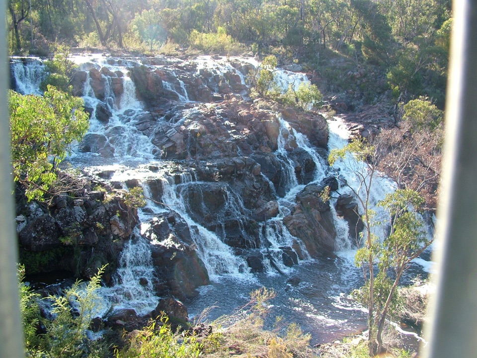 EasyMackenzie Falls Lookout Walk1.6 km · 45 min · 2.9 km awaySealed forest loop to a lookout above falls and sandstone gorge
 ModerateMackenzie Falls Walk2 km · 1.3 hr · 3 km awaySteep 260 steps down to a thundering waterfall, then back up
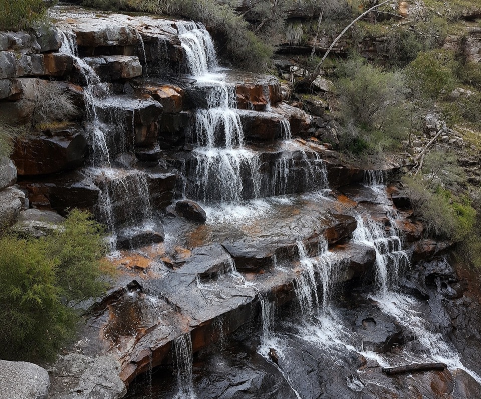 ModerateBurrong Falls Walk0.7 km · 1 hr · 6.1 km awayShort bush track to terraced cascades and gorge-side rock pools
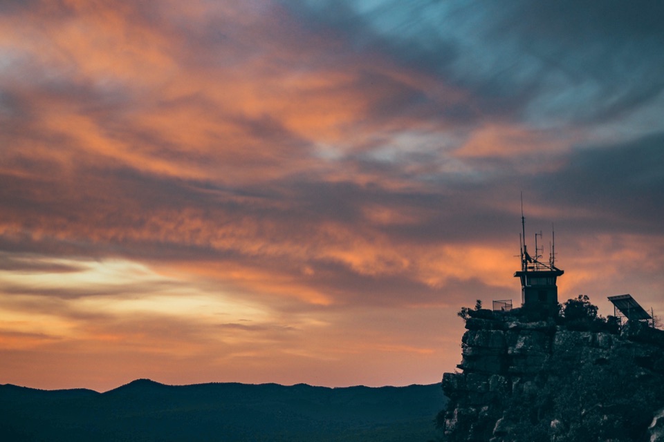 EasyReed Lookout Walk0.5 km · 10 min · 8.2 km awayTen minutes return to a fire tower and Victoria Valley views
 EasyThe Balconies Walk2.2 km · 1 hr · 8.3 km awayGentle gravel stroll to sandstone platforms above a misty valley
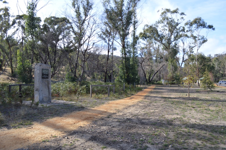 Sight · 0.1 km awayZumsteins Historic AreaRiverside picnic stop with rare pise cottages and a history walkSight · 2.2 km awayFish FallsTerraced cascades tucked along a quiet gorge walk
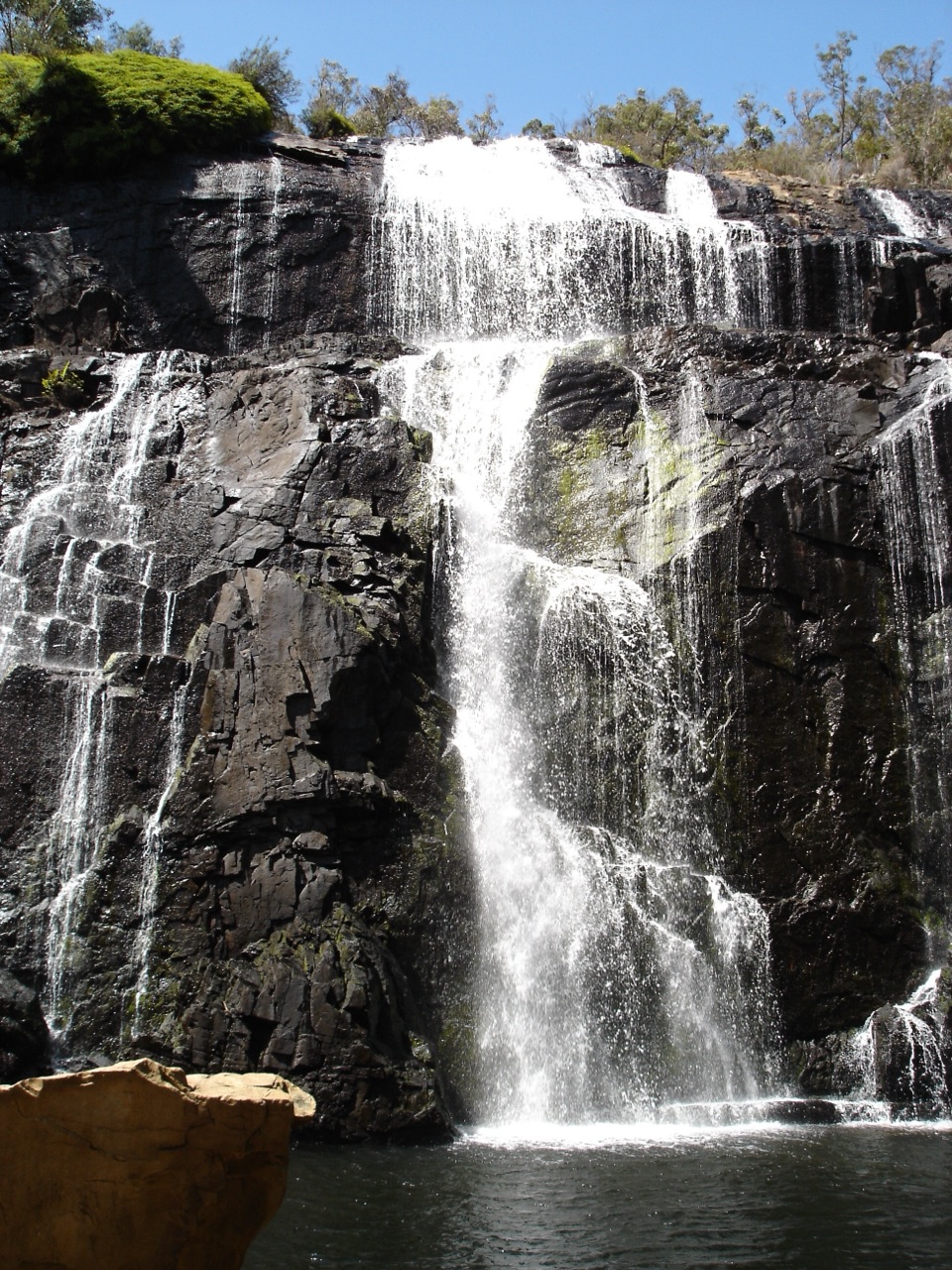 Sight · 2.8 km awayMacKenzie Falls (Migunang wirab)A thunderous year-round waterfall with a steep stair climb
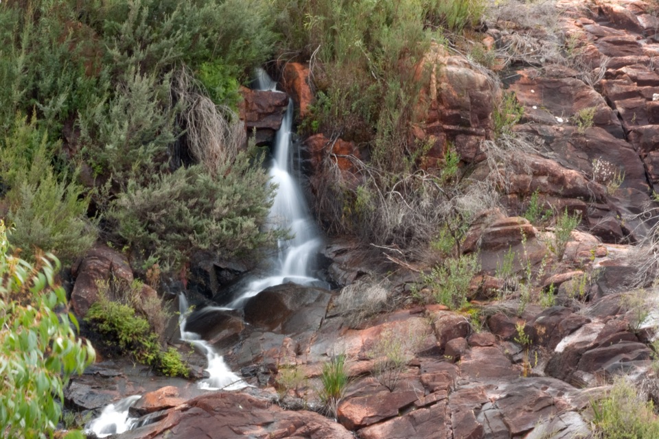 Sight · 3 km awayBroken Falls LookoutA short accessible walk to sweeping Broken Falls views
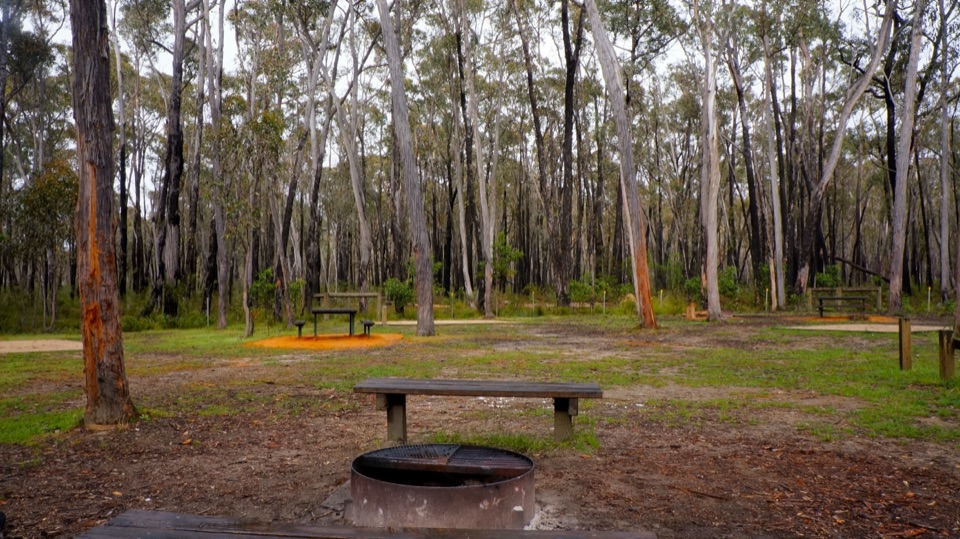 Campground · 3.7 km awaySmiths Mill CampgroundA shady woodland camp with fire rings and waterfall access
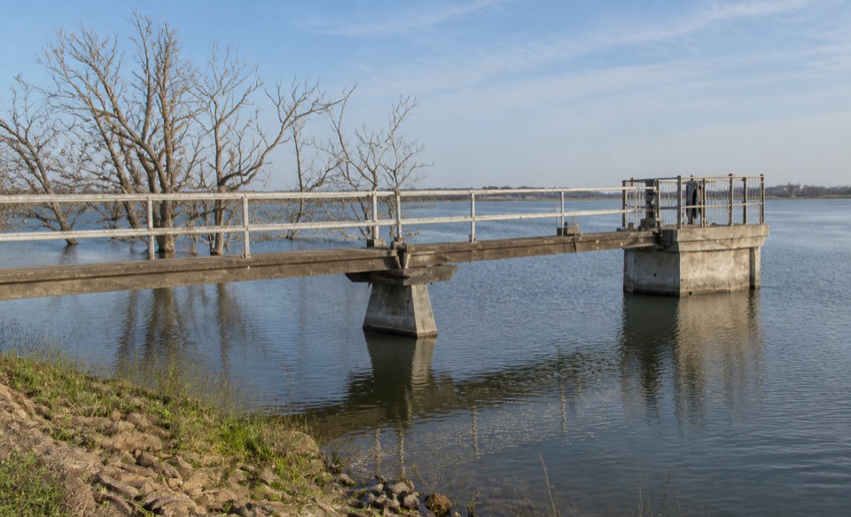 Sight · 4.2 km awayLake WartookA quiet reservoir with a dam, boat ramp, and mountain reflections
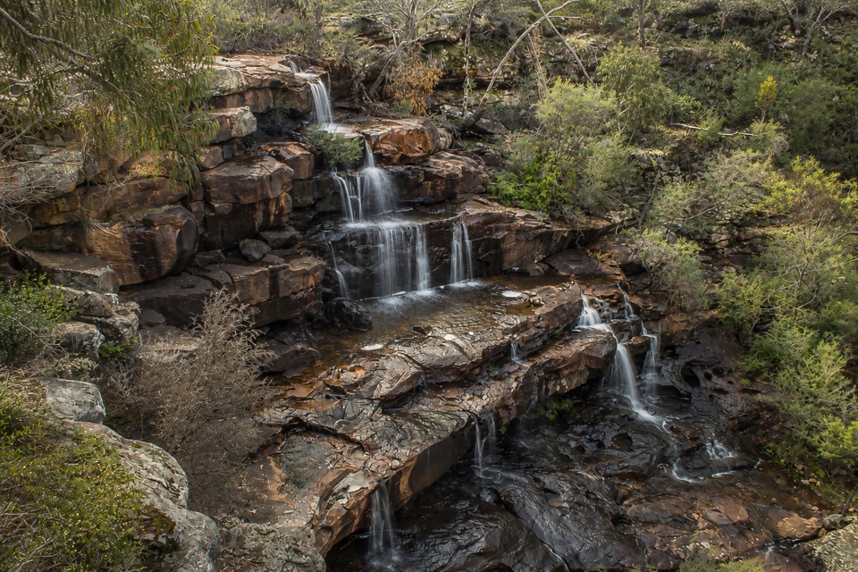 Sight · 6 km awayBurrong FallsTerraced cascades over sandstone steps in a quiet bush settingSight · 8.1 km awayReeds LookoutWide Victoria Valley views from a very short uphill walk
Parkwolf’s Grampians ranking

The audio tour guide for the drive, plus offline maps, trails, and wildlife heatmaps for when the signal drops.



