Parking
Start at Zumsteins Picnic Area, not the Mackenzie Falls car park. Free parking is available at the picnic area.
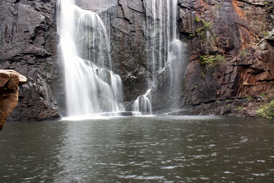
Grampians National Park, VIC
Rock hopping and river crossings to the base of Mackenzie Falls
Overview
Map & elevation
Plan your hike

The highest, rockiest slopes around here are a summer buffet for grizzly bears.
Grampians Tour Guide
Parkwolf is a GPS audio tour guide for Grampians National Park. As you drive, it chimes in with what’s ahead: hidden gems, upcoming stops, history, geology, and wildlife, right through your car’s speakers.
Recorded for this trailhead
Zumsteins: Cottages, River and Fish Falls“You're coming up on Zumsteins, where a short riverside walk takes you through the remains of an old holiday retreat. The historic loop is only about 250 metres, so allow 15 to 30 minutes to wander and read the signs.”
Plays as you drive up to this trailhead in the Parkwolf Grampians Tour Guide.
More stories near here in the app
“Fantastic app with many points of information… It’s great to just turn on while you’re driving and it gives you an audio tour of the national Park. We love it!!!!”


Trail guide
This is an out-and-back of 7 km return, meaning 7 km is the total there-and-back distance. You start at Zumsteins Picnic Area, follow the Mackenzie River upstream past Fish Falls, reach the base of Mackenzie Falls, then retrace the same corridor. Fish Falls alone is about 4 km return if you want a shorter turnaround. Budget 3 to 4 hours for the full walk.
Treat this as a hard walk for fit walkers. The mapped corridor is a mix of gravel and concrete sections, bridges and boardwalk, steps and rough rock, and the harder parts involve water crossings, rock hopping and rock scrambling. Ground is uneven and rocks and steps can be slippery, especially near the falls. The profile climbs steadily from roughly 240 m near Zumsteins to about 435 m at the Mackenzie Falls end, with most of the gain in the upper part of the route. Wear shoes with grip that you do not mind getting wet, and expect the return leg to feel slower than a graded track of the same length.
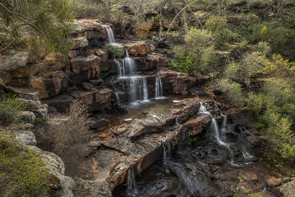
The walk moves through young eucalypt forest close to the water, past tranquil waterholes and below rocky escarpments. The terraced cascades of Fish Falls are the mid-route payoff, and the finish at the base of Mackenzie Falls is the big one. Watch for wedge-tailed eagles overhead.
Build in stopping time rather than trying to shoot on the move. The three natural stops are the quiet river waterholes and escarpments early on, the terraced cascades at Fish Falls, and the base of Mackenzie Falls. Carry your gear in something waterproof or easy to shoulder, since you may be crossing water and using your hands on rock.
Start from the Zumsteins Picnic Area And Fish Falls area, where there is a free parking lot. If the crossings and scrambling do not suit your group, the Mackenzie Falls Lookout Walk and Broken Falls Walk in the same precinct are shorter and more accessible, though neither gives you the river journey or Fish Falls.
Wildlife
 157 sightingsShort-beaked EchidnaMost seen around 6 PMSighting map
 37 sightingsPowerful OwlMost seen around 6 PMSighting map
 59 sightingsWedge-tailed EagleMost seen around 11 AMSighting map
 24 sightingsEastern Brown SnakeMost seen around 11 AMSighting map
 10 sightingsTiger SnakeMost seen around noonSighting map
 29 sightingsRed-bellied Black SnakeMost seen around 11 AMSighting map
Sighting maps show where each species has been reported across Grampians. Wildlife moves, so no sighting is guaranteed.
Keep exploring
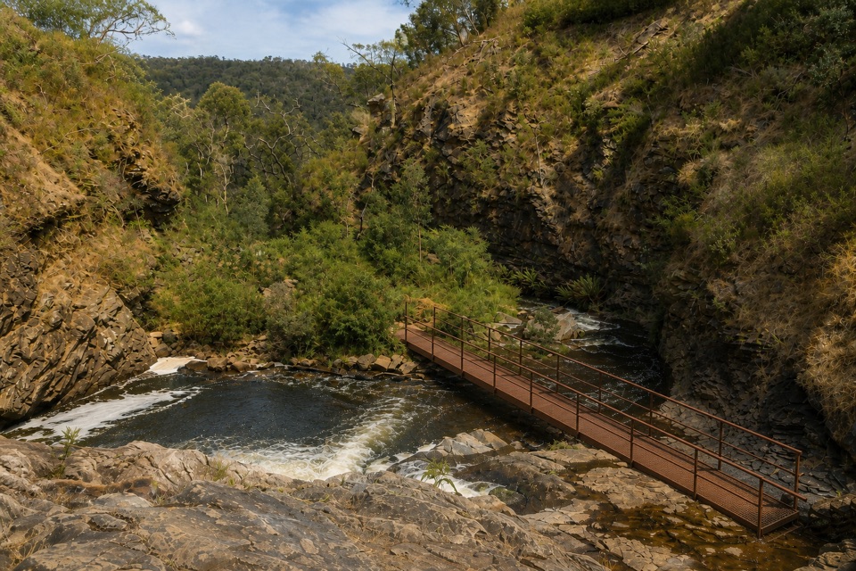 ModerateFish Falls Walk4.8 km · 2.5 hr · At the trailheadFollow the MacKenzie River upstream to terraced cascades and a quiet pool
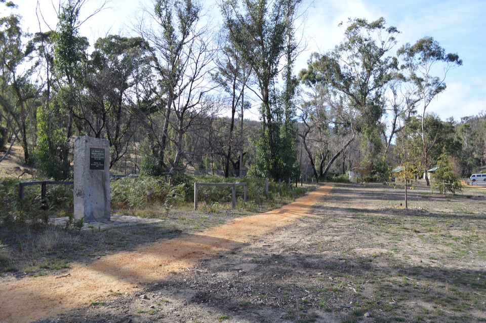 EasyZumsteins Historic Walk0.3 km · 30 min · At the trailheadPise cottages, a river boardwalk and beekeeping history in 250 easy metres
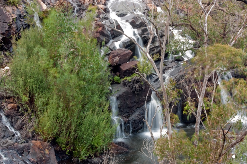 EasyBroken Falls and Cranages Lookouts1.3 km · 30 min · 2.9 km awayShort paved stroll to waterfall views above a rocky river gorge
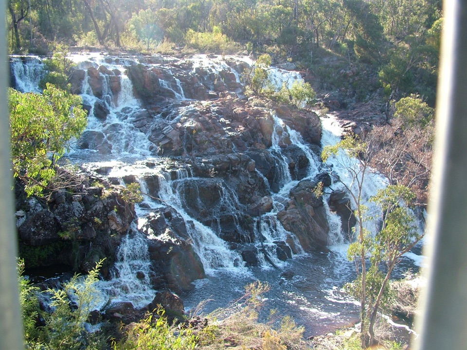 EasyMackenzie Falls Lookout Walk1.6 km · 45 min · 2.9 km awaySealed forest loop to a lookout above falls and sandstone gorge
 ModerateMackenzie Falls Walk2 km · 1.3 hr · 3 km awaySteep 260 steps down to a thundering waterfall, then back up
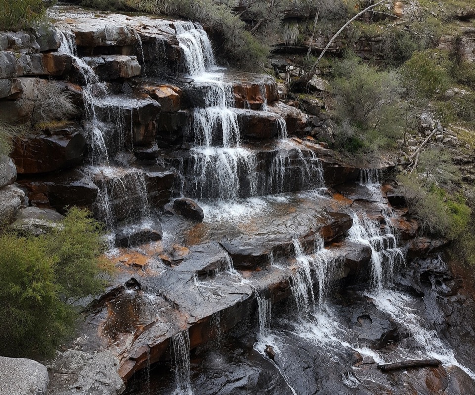 ModerateBurrong Falls Walk0.7 km · 1 hr · 6.1 km awayShort bush track to terraced cascades and gorge-side rock pools
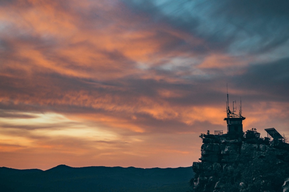 EasyReed Lookout Walk0.5 km · 10 min · 8.2 km awayTen minutes return to a fire tower and Victoria Valley views
 EasyThe Balconies Walk2.2 km · 1 hr · 8.3 km awayGentle gravel stroll to sandstone platforms above a misty valley
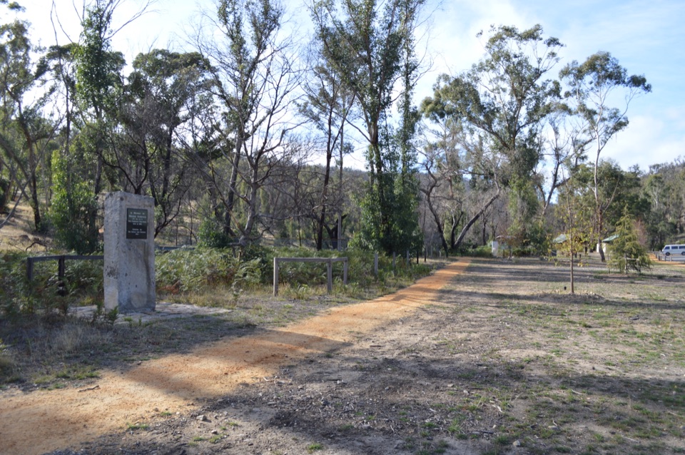 Sight · 0.1 km awayZumsteins Historic AreaRiverside picnic stop with rare pise cottages and a history walkSight · 2.2 km awayFish FallsTerraced cascades tucked along a quiet gorge walk
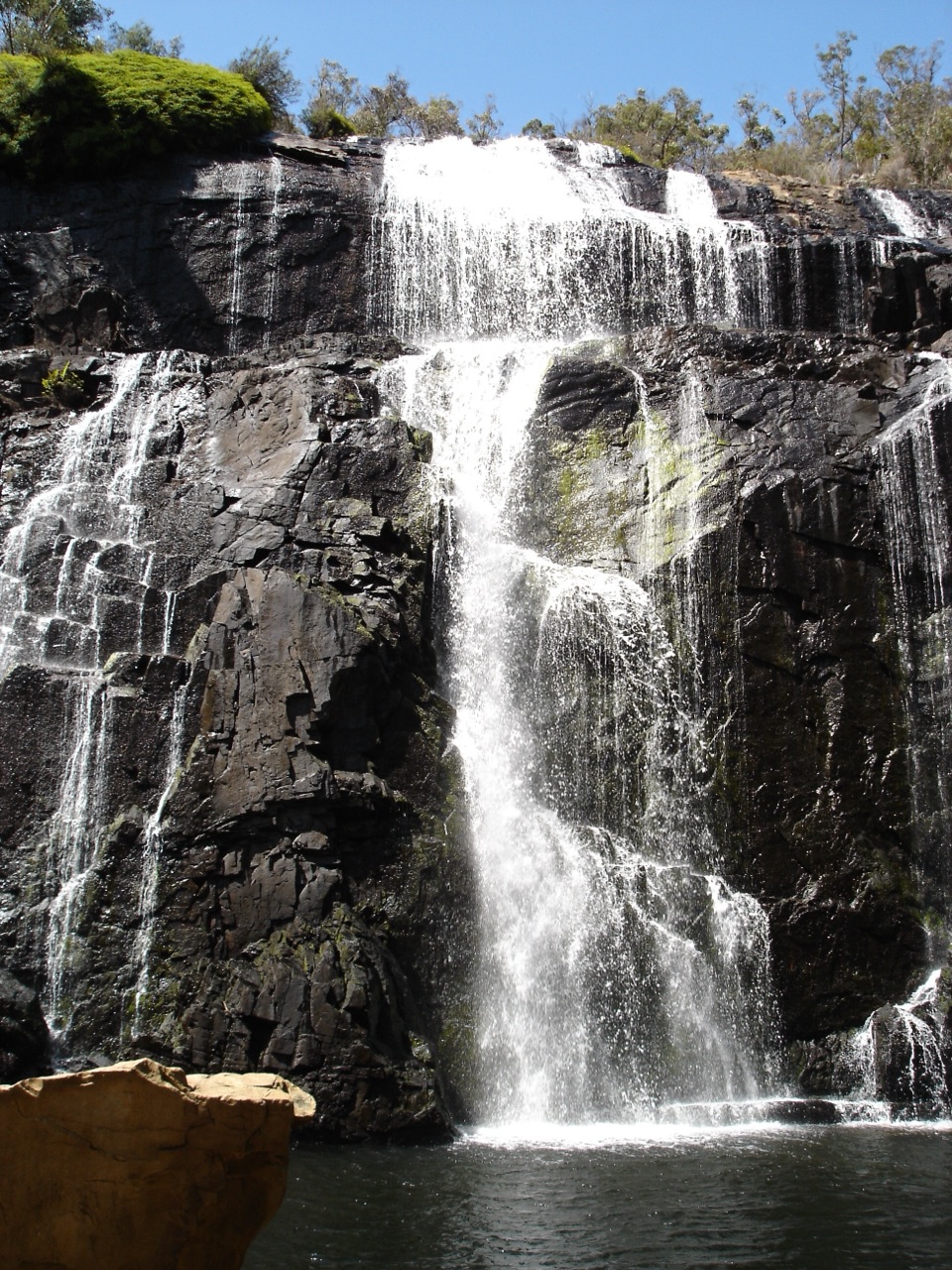 Sight · 2.8 km awayMacKenzie Falls (Migunang wirab)A thunderous year-round waterfall with a steep stair climb
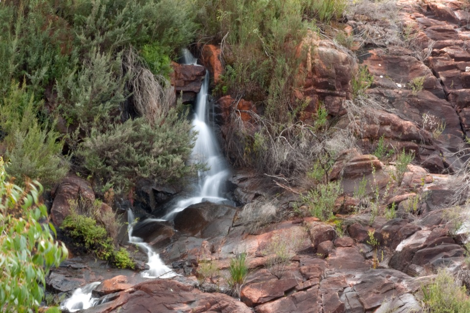 Sight · 3 km awayBroken Falls LookoutA short accessible walk to sweeping Broken Falls views
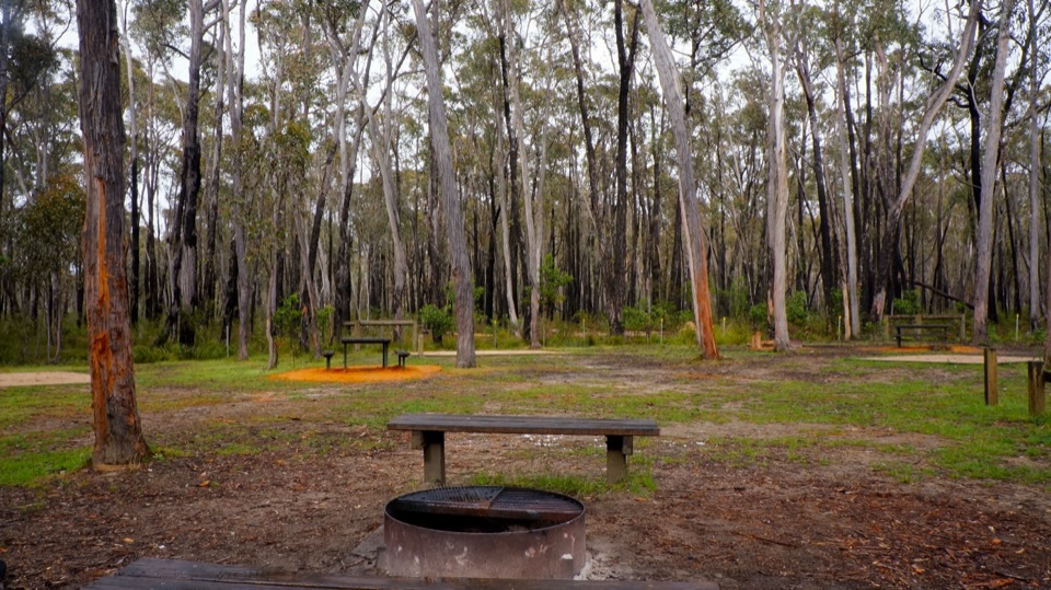 Campground · 3.7 km awaySmiths Mill CampgroundA shady woodland camp with fire rings and waterfall access
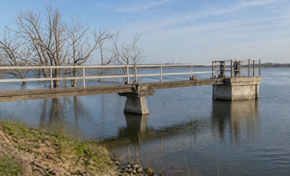 Sight · 4.2 km awayLake WartookA quiet reservoir with a dam, boat ramp, and mountain reflections
 Sight · 6 km awayBurrong FallsTerraced cascades over sandstone steps in a quiet bush settingSight · 8.1 km awayReeds LookoutWide Victoria Valley views from a very short uphill walk
Parkwolf’s Grampians ranking

The audio tour guide for the drive, plus offline maps, trails, and wildlife heatmaps for when the signal drops.



