Parking
Zumsteins Picnic Area and Historical Site on Northern Grampians Road; the walk starts and finishes at the picnic-area carpark. Public toilets are available.
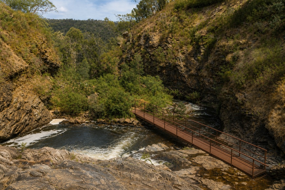
Grampians National Park, VIC
Follow the MacKenzie River upstream to terraced cascades and a quiet pool
Overview
The main drawback is the surface. If you want a smooth, easy stroll, the rocky and slippery patches will feel like work, and families with small children should factor that in. If you want more, the Mackenzie River Walk continues from Zumsteins as a longer 7 km return route toward Mackenzie Falls with more demanding crossings, rock hopping and scrambling. That is a separate, harder day out rather than an extension you should assume you will tack on.
 Parkwolf’s verdictWorth knowing before you choose it
Map & elevation
Plan your hike

The highest, rockiest slopes around here are a summer buffet for grizzly bears.
Grampians Tour Guide
Parkwolf is a GPS audio tour guide for Grampians National Park. As you drive, it chimes in with what’s ahead: hidden gems, upcoming stops, history, geology, and wildlife, right through your car’s speakers.
Recorded for this trailhead
Zumsteins: Cottages, River and Fish Falls“You're coming up on Zumsteins, where a short riverside walk takes you through the remains of an old holiday retreat. The historic loop is only about 250 metres, so allow 15 to 30 minutes to wander and read the signs.”
Plays as you drive up to this trailhead in the Parkwolf Grampians Tour Guide.
More stories near here in the app
“Fantastic app with many points of information… It’s great to just turn on while you’re driving and it gives you an audio tour of the national Park. We love it!!!!”


Trail guide
This is an out-and-back from Zumsteins Picnic Area and Historical Site, and the distance quoted is the full return trip: about 4.8 km with roughly 2.4 km each way. You follow the MacKenzie River upstream, then turn around and walk back the way you came.
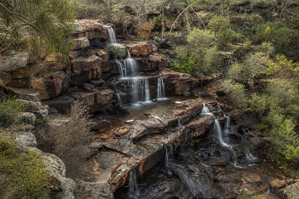
The track threads through young eucalypt bushland beside the river, passing tranquil waterholes and rocky escarpments before reaching Fish Falls, where the water drops through a series of terraced cascades over about 60 metres of rock into a pool at the base. Wedge-tailed eagles are sometimes seen overhead. It is a rewarding payoff for a short walk, and the river corridor itself is half the appeal rather than just the destination.
Call it moderate. The grade is gently undulating with only modest rolling relief, so the effort comes from the surface rather than the climbing. Expect rocky, uneven ground, some steeper pitches, rock hopping, and sections that get slippery near the water. Sturdy walking shoes with decent grip make a real difference. Reasonable fitness helps, and it is worth allowing 2 to 3 hours return so you are not rushing the trickier footing.
There are rock and water crossings along the route, and the river can run fast with submerged rocks and slick edges. The pool at Fish Falls is not a supervised or safe swimming spot, so treat it as somewhere to look at rather than get into. Keep back from wet rock at the falls and near crossings.
Zumsteins has a carpark and a public toilet, and the walk starts and finishes there. Dogs are not permitted in the national park, so leave pets at home; assistance dogs are covered by separate rules.
Wildlife
 157 sightingsShort-beaked EchidnaMost seen around 6 PMSighting map
 37 sightingsPowerful OwlMost seen around 6 PMSighting map
 59 sightingsWedge-tailed EagleMost seen around 11 AMSighting map
 24 sightingsEastern Brown SnakeMost seen around 11 AMSighting map
 10 sightingsTiger SnakeMost seen around noonSighting map
 29 sightingsRed-bellied Black SnakeMost seen around 11 AMSighting map
Sighting maps show where each species has been reported across Grampians. Wildlife moves, so no sighting is guaranteed.
Keep exploring
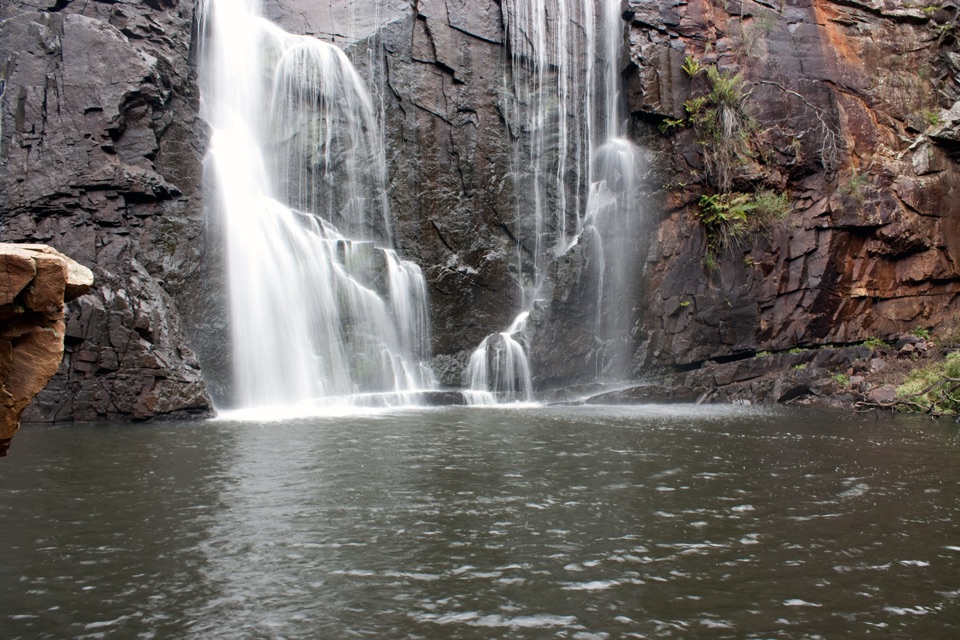 ChallengingMackenzie River Walk7 km · 3.5 hr · At the trailheadRock hopping and river crossings to the base of Mackenzie Falls
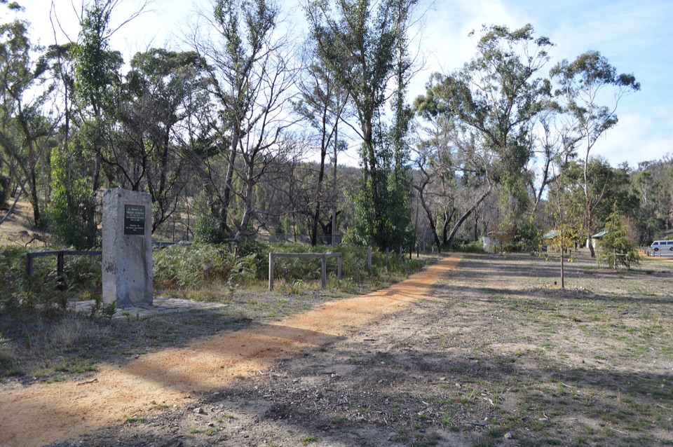 EasyZumsteins Historic Walk0.3 km · 30 min · At the trailheadPise cottages, a river boardwalk and beekeeping history in 250 easy metres
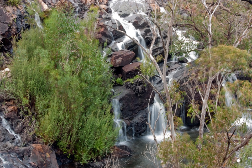 EasyBroken Falls and Cranages Lookouts1.3 km · 30 min · 2.9 km awayShort paved stroll to waterfall views above a rocky river gorge
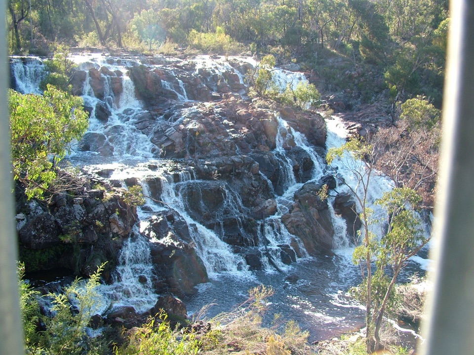 EasyMackenzie Falls Lookout Walk1.6 km · 45 min · 2.9 km awaySealed forest loop to a lookout above falls and sandstone gorge
 ModerateMackenzie Falls Walk2 km · 1.3 hr · 3 km awaySteep 260 steps down to a thundering waterfall, then back up
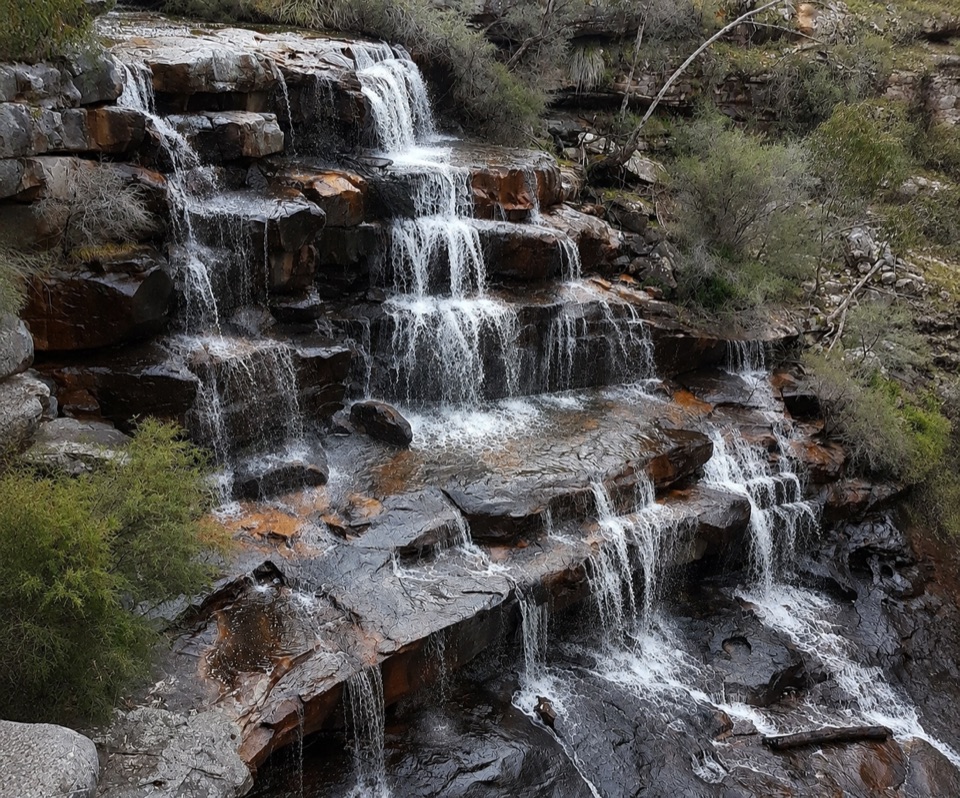 ModerateBurrong Falls Walk0.7 km · 1 hr · 6.1 km awayShort bush track to terraced cascades and gorge-side rock pools
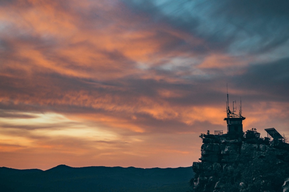 EasyReed Lookout Walk0.5 km · 10 min · 8.2 km awayTen minutes return to a fire tower and Victoria Valley views
 EasyThe Balconies Walk2.2 km · 1 hr · 8.3 km awayGentle gravel stroll to sandstone platforms above a misty valley
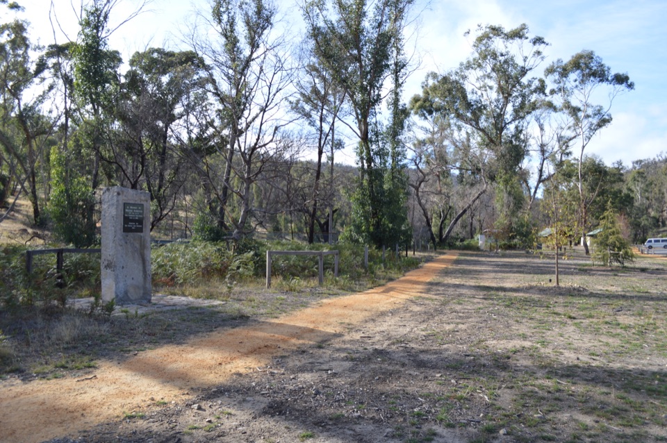 Sight · 0.1 km awayZumsteins Historic AreaRiverside picnic stop with rare pise cottages and a history walkSight · 2.2 km awayFish FallsTerraced cascades tucked along a quiet gorge walk
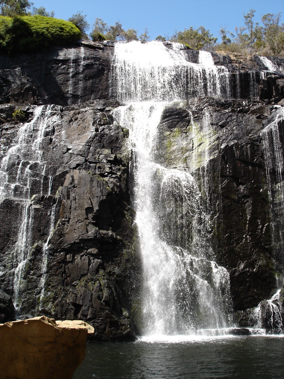 Sight · 2.8 km awayMacKenzie Falls (Migunang wirab)A thunderous year-round waterfall with a steep stair climb
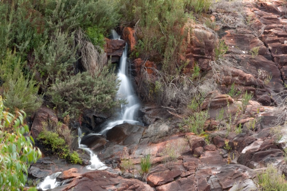 Sight · 3 km awayBroken Falls LookoutA short accessible walk to sweeping Broken Falls views
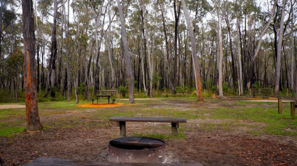 Campground · 3.7 km awaySmiths Mill CampgroundA shady woodland camp with fire rings and waterfall access
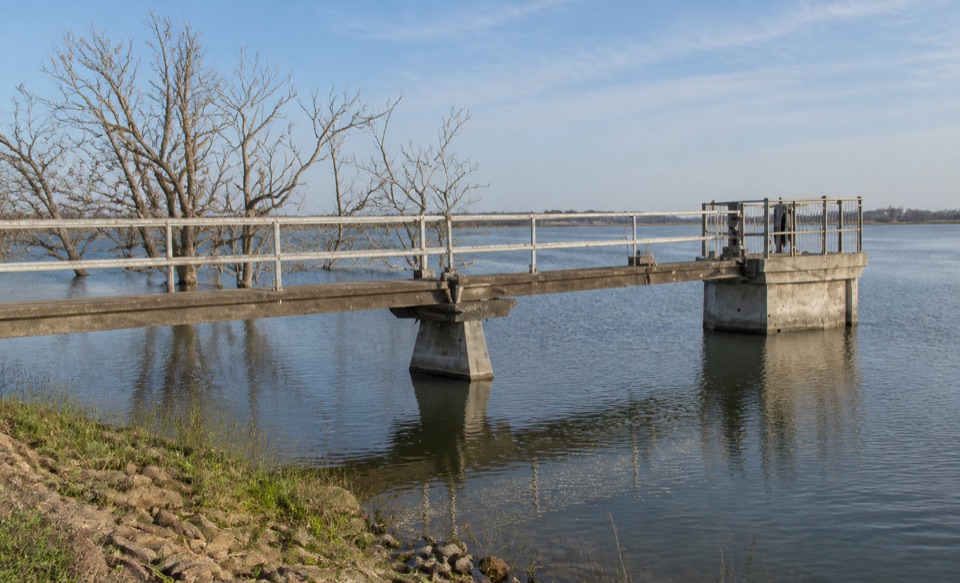 Sight · 4.2 km awayLake WartookA quiet reservoir with a dam, boat ramp, and mountain reflections
 Sight · 6 km awayBurrong FallsTerraced cascades over sandstone steps in a quiet bush settingSight · 8.1 km awayReeds LookoutWide Victoria Valley views from a very short uphill walk
Parkwolf’s Grampians ranking
The audio tour guide for the drive, plus offline maps, trails, and wildlife heatmaps for when the signal drops.



