Parking
Jimmy Creek Campground, reached via Grampians Road and Jimmy Creek Campground Access Road. Start near the campground bridge.
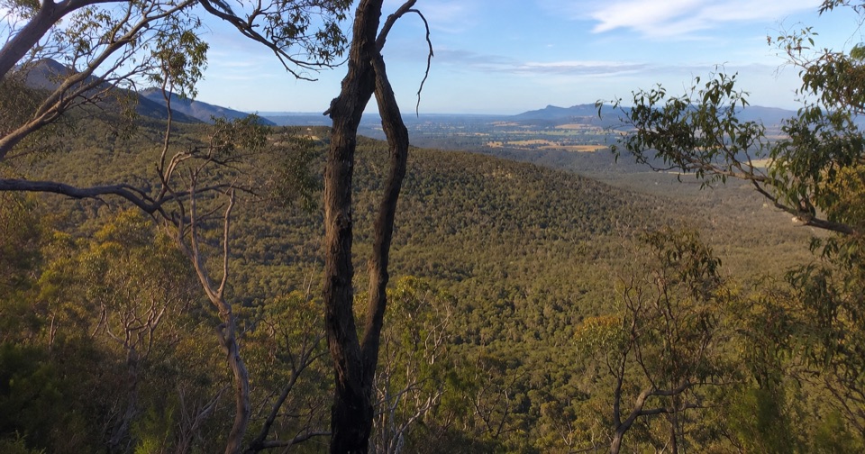
Grampians National Park, VIC
Climb to Serra Range views, then quiet gravel roads back to camp
Overview
Map & elevation
Plan your hike

The highest, rockiest slopes around here are a summer buffet for grizzly bears.
Grampians Tour Guide
Parkwolf is a GPS audio tour guide for Grampians National Park. As you drive, it chimes in with what’s ahead: hidden gems, upcoming stops, history, geology, and wildlife, right through your car’s speakers.
Recorded for this trailhead
Jimmy Creek: A Bush Break by the Wannon“Jimmy Creek Campground is coming up, a quiet bush stop beside the upper Wannon River.”
Plays as you drive up to this trailhead in the Parkwolf Grampians Tour Guide.
More stories near here in the app
“Fantastic app with many points of information… It’s great to just turn on while you’re driving and it gives you an audio tour of the national Park. We love it!!!!”


Trail guide
This is a circuit of 7.4 km total, starting and finishing at Jimmy Creek Campground. Allow 2 to 3 hours, with about 2.5 hours a fair estimate for most walkers. It is graded Grade 3 (moderate), which here means steady climbing, uneven ground, occasional steps, and long stretches of rough or gravel surface rather than any technical scrambling.
The second half is mostly descending or contouring, so the effort is front loaded and the walk back to camp is comparatively easy.
The climb sits at the lower end of the range at about 323 m and tops out near 562 m, with roughly 324 m of total ascent. Footing varies from rocky bush track to unsealed gravel road and 4WD track.
Be clear on what this circuit is: the named bush track section is only about 20 percent of the loop, and the remainder follows roads and vehicle tracks. The view and the climb are the reward, and the road walking is a pleasant but plainer way to close the circle. Walkers who want a continuous narrow footpath the whole way will find the middle section underwhelming.
Access is via Grampians Road, then the Jimmy Creek Campground Access Road to the campground, where the walk begins. A shorter 4.6 km option exists that turns back along the same path from partway up, which is a different and easier outing rather than this full circuit. If you are after something far bigger, the Major Mitchell Plateau is a much longer and more demanding overnight undertaking, so this loop suits a half day with a solid climb and a good view.
Wildlife
 157 sightingsShort-beaked EchidnaMost seen around 6 PMSighting map
 37 sightingsPowerful OwlMost seen around 6 PMSighting map
 59 sightingsWedge-tailed EagleMost seen around 11 AMSighting map
 24 sightingsEastern Brown SnakeMost seen around 11 AMSighting map
 10 sightingsTiger SnakeMost seen around noonSighting map
 29 sightingsRed-bellied Black SnakeMost seen around 11 AMSighting map
Sighting maps show where each species has been reported across Grampians. Wildlife moves, so no sighting is guaranteed.
Keep exploring
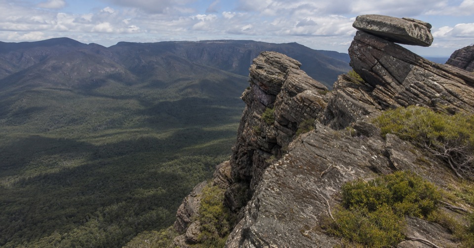 ChallengingYarram-Wannon Multi-day Hike24 km · 12 hr · At the trailheadThree days over six knolls to Serra Range views and hike-in campsChallengingYarram Overnight Hike12.6 km · 6 hr · At the trailheadRidge climb to a high saddle camp, then a steep gully descent
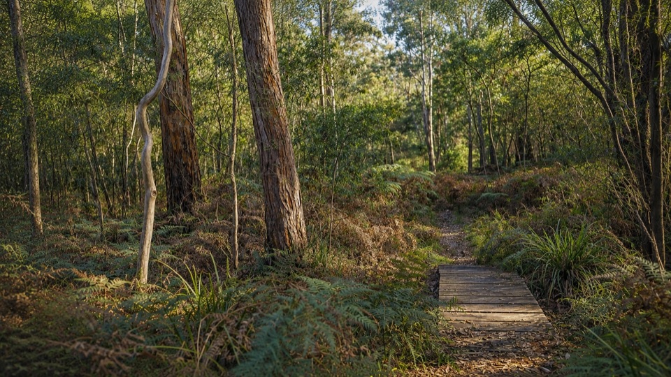 EasyMafeking Brownings Loop Walk2 km · 1 hr · 6.9 km awayGentle 2 km bush circuit past old gold shafts and worked gullies
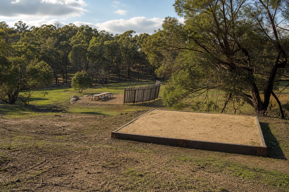 ChallengingWannon Overnight Hike12.1 km · 7 hr · 8.4 km awaySix knolls, wetland edges, and one night in a quiet grassy gully
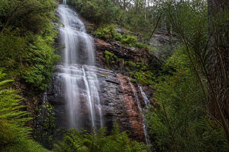 ModerateKalymna Falls Walk3.2 km · 2 hr · 11.7 km awayRocky uphill track to a shaded seasonal waterfall base
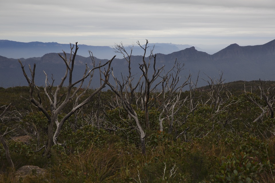 ChallengingMajor Mitchell Plateau Hike41 km · 15 hr · 12 km awayThree days of windswept sandstone high country, big views, real navigation
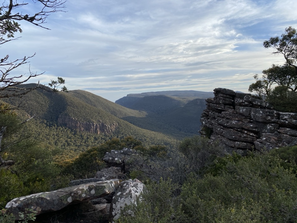 ModerateMt William (Duwul) Summit Walk4 km · 1.8 hr · 12.4 km awaySteep sealed climb to the region's highest point and 360-degree viewsChallengingDurd Durd Overnight Hike20.6 km · 13 hr · 12.4 km awayHighest section of the Peaks Trail, then a long forest descent
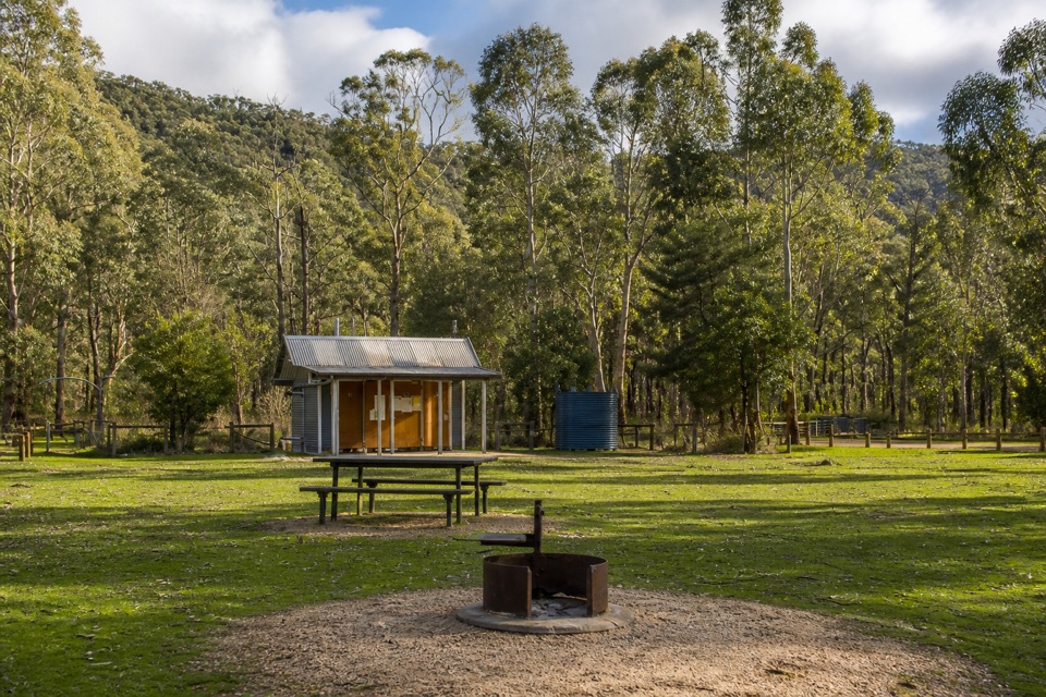 Campground · At the trailheadJimmy Creek CampgroundA quiet Wannon River base for bush camping and Teddy Bear Gap
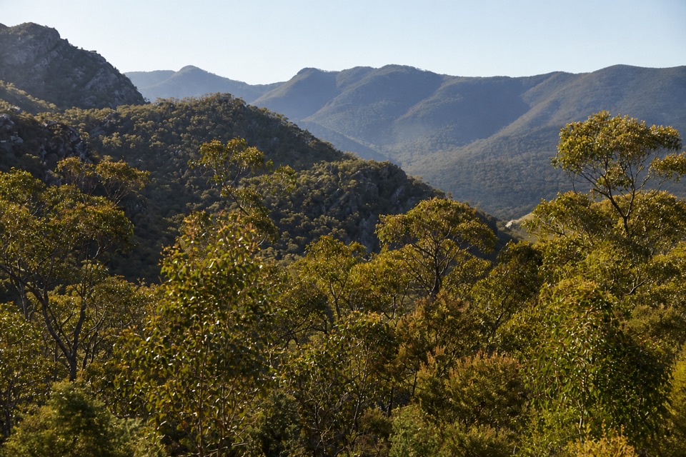 Scenic pullout · 7.1 km awayMirranatwa Gap LookoutA quick roadside view across rugged southern ranges
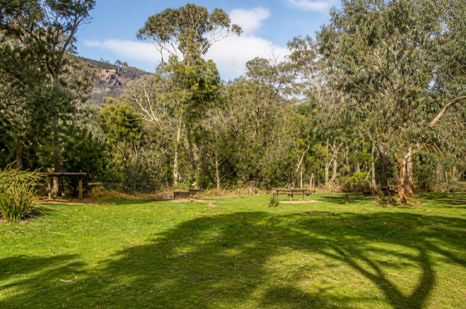 Campground · 7.3 km awayWannon Crossing CampgroundA quiet riverside camp beneath eucalyptus and mountain viewsSight · 10.8 km awayKalymna FallsA fern-framed cascade that rewards a wet-weather detour
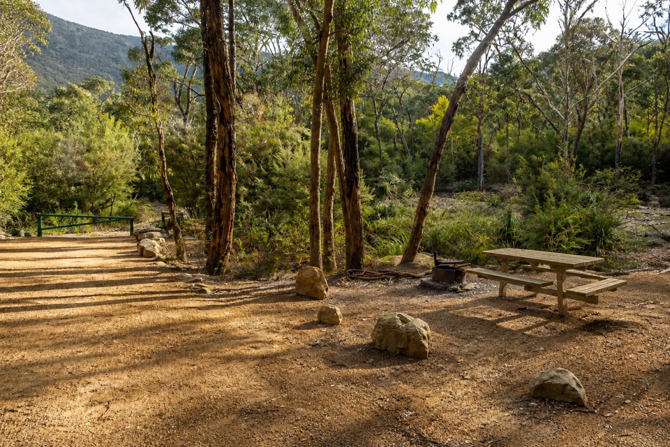 Campground · 11.7 km awayKalymna Falls CampgroundQuiet creekside camping with a seasonal waterfall walk
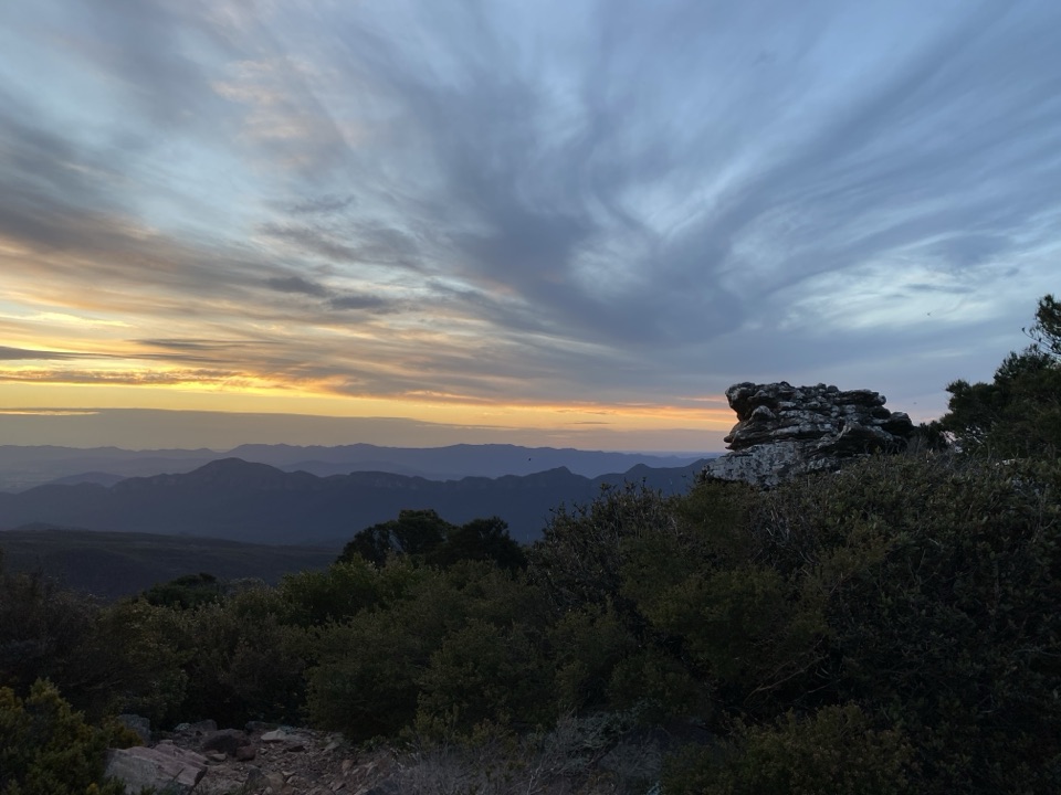 Sight · 12.3 km awayMount William (Duwul)A high, windy summit with sweeping views across rugged ranges
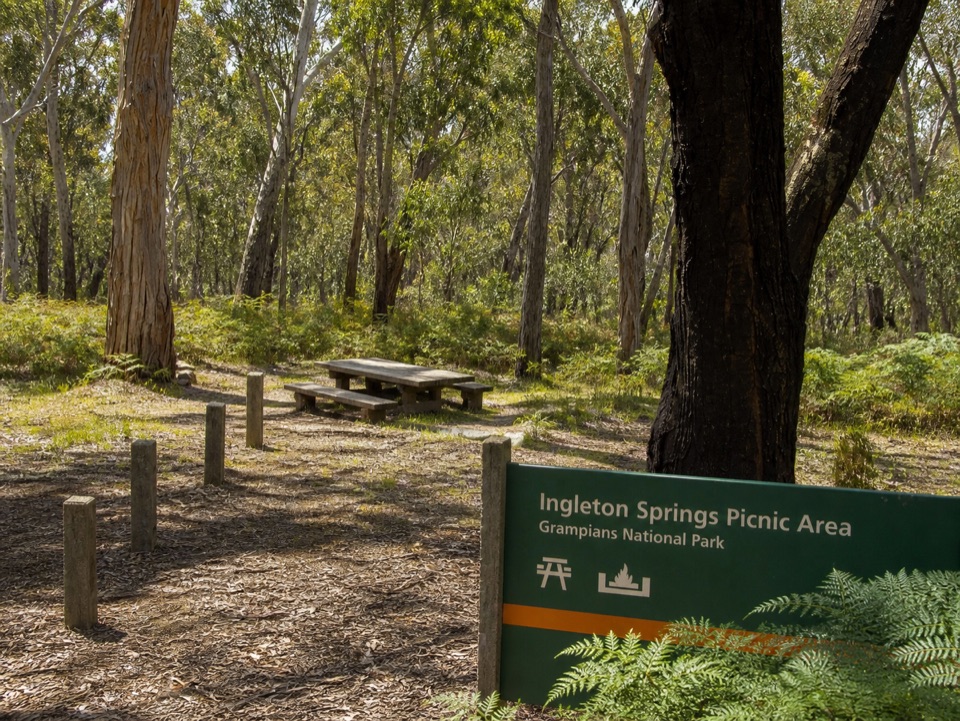 Picnic area · 14.2 km awayIngleton Springs Picnic AreaA quiet eucalyptus picnic stop in a ferny spring clearing
Parkwolf’s Grampians ranking

The audio tour guide for the drive, plus offline maps, trails, and wildlife heatmaps for when the signal drops.





