Parking
Start at Jimmy Creek Campground on Grampians Tourist Road between Halls Gap and Dunkeld; cross the road from the campground to join the route. Arrange a pick-up or vehicle at Yarram Gap Road Trailhead for the point-to-point finish.
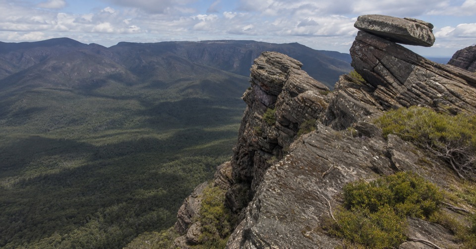
Grampians National Park, VIC
Ridge climb to a high saddle camp, then a steep gully descent
Overview
Map & elevation
Plan your hike

The highest, rockiest slopes around here are a summer buffet for grizzly bears.
Grampians Tour Guide
Parkwolf is a GPS audio tour guide for Grampians National Park. As you drive, it chimes in with what’s ahead: hidden gems, upcoming stops, history, geology, and wildlife, right through your car’s speakers.
Recorded for this trailhead
Jimmy Creek: A Bush Break by the Wannon“Jimmy Creek Campground is coming up, a quiet bush stop beside the upper Wannon River.”
Plays as you drive up to this trailhead in the Parkwolf Grampians Tour Guide.
More stories near here in the app
“Fantastic app with many points of information… It’s great to just turn on while you’re driving and it gives you an audio tour of the national Park. We love it!!!!”


Trail guide
A point-to-point two-day, one-night hike of 12.6 km one way, walked as Day 1 of 8.0 km and Day 2 of 4.6 km. It starts at Jimmy Creek Campground and finishes at the Yarram Gap Road Trailhead, using the southern end of the Grampians Peaks Trail corridor. This is the short Yarram itinerary, not the full Peaks Trail and not the longer three-day Yarram to Wannon route.
From Jimmy Creek Campground you cross the road and climb onto the Mt William Range, then follow its southern extent with farmland, waterways and wetlands off to the east. The track threads a gully beneath high cliffs before reaching Yarram Hike-in Campground on a high saddle, where the outlook stretches over distant wetlands and plains. There is a helipad near the camp area.
A shorter 4.6 km finish, and most of it is downhill. The route drops steeply through gullies and lower mountain slopes to the Yarram Gap Road Trailhead. Loose footing and tired legs under a pack make this feel longer than the distance suggests.
Graded Grade 4, and about a 7/10 in app terms with an overnight pack. Expect long, rough and sometimes steep walking on rocky, uneven ground, with exposed sections and high-cliff edges. Spot heights along the way run from roughly 300 m near the start to a little over 650 m on the range, with repeated climbing, dips and re-climbs before the long descent to the road.
Yarram Hike-in Campground has timber tent platforms, a toilet and a rainwater tank. Treat tank water before drinking, and carry enough for the whole route rather than relying on finding more along the ridge. Mobile reception details are published for the campsite, but coverage on the walk is patchy or absent.
The hike-in campsite must be booked in advance for this itinerary. Ordinary dogs are not permitted. No fires, horses, bicycles, generators or firearms; drones need a permit. Directional signage is limited, so carry a paper or offline map and set an emergency communication plan before you start.
The start and finish are different places, so you need a car shuffle, a drop-off or a pick-up. The Yarram Gap Road Trailhead is not Jimmy Creek Campground, and parking there should not be assumed. If you want more time on this southern corridor, a separate multi-day route continues from Yarram through Wannon to the Griffin Fireline Trailhead.
Wildlife
 157 sightingsShort-beaked EchidnaMost seen around 6 PMSighting map
 37 sightingsPowerful OwlMost seen around 6 PMSighting map
 59 sightingsWedge-tailed EagleMost seen around 11 AMSighting map
 24 sightingsEastern Brown SnakeMost seen around 11 AMSighting map
 10 sightingsTiger SnakeMost seen around noonSighting map
 29 sightingsRed-bellied Black SnakeMost seen around 11 AMSighting map
Sighting maps show where each species has been reported across Grampians. Wildlife moves, so no sighting is guaranteed.
Keep exploring
ChallengingYarram-Wannon Multi-day Hike24 km · 12 hr · At the trailheadThree days over six knolls to Serra Range views and hike-in camps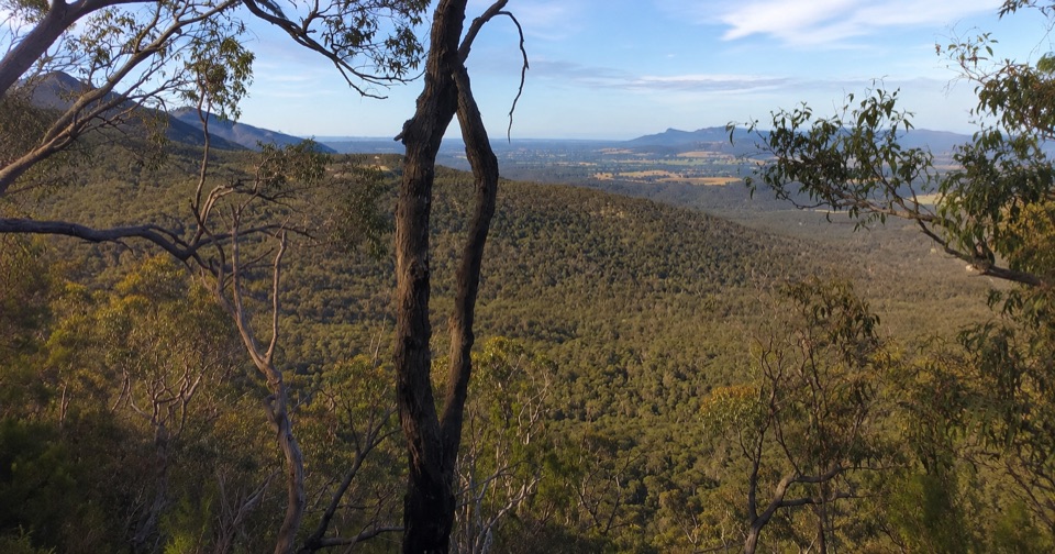 ModerateTeddy Bear Gap Loop Walk7.4 km · 2.5 hr · At the trailheadClimb to Serra Range views, then quiet gravel roads back to camp
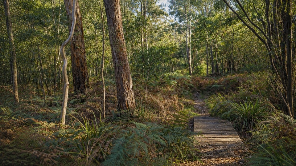 EasyMafeking Brownings Loop Walk2 km · 1 hr · 6.9 km awayGentle 2 km bush circuit past old gold shafts and worked gullies
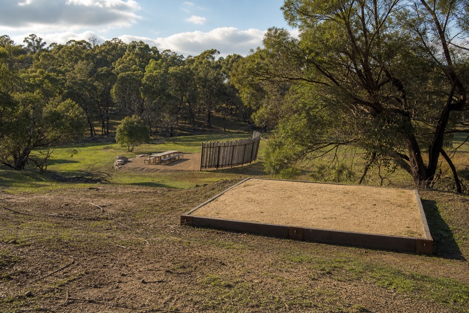 ChallengingWannon Overnight Hike12.1 km · 7 hr · 8.4 km awaySix knolls, wetland edges, and one night in a quiet grassy gully
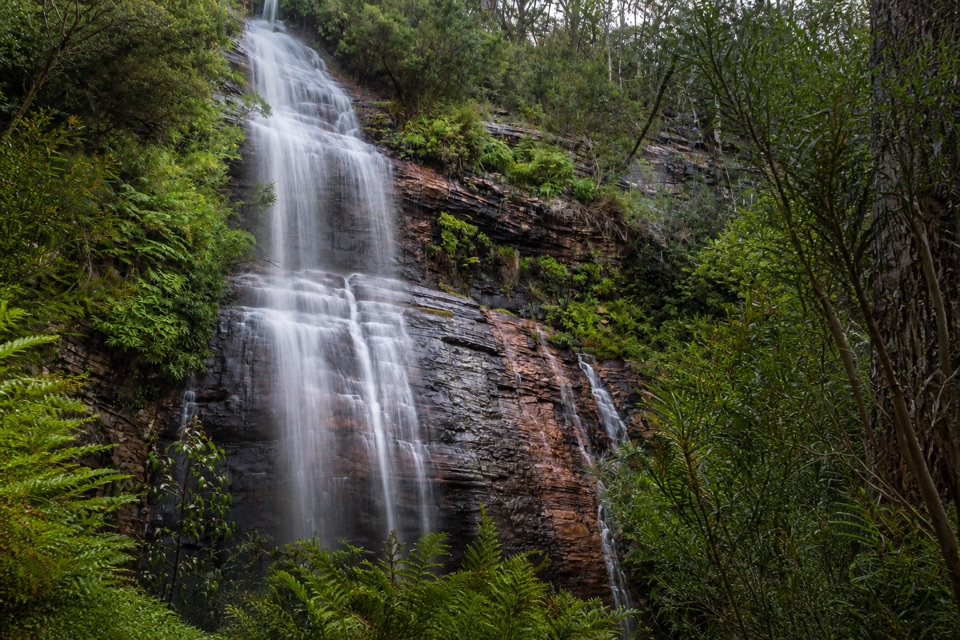 ModerateKalymna Falls Walk3.2 km · 2 hr · 11.7 km awayRocky uphill track to a shaded seasonal waterfall base
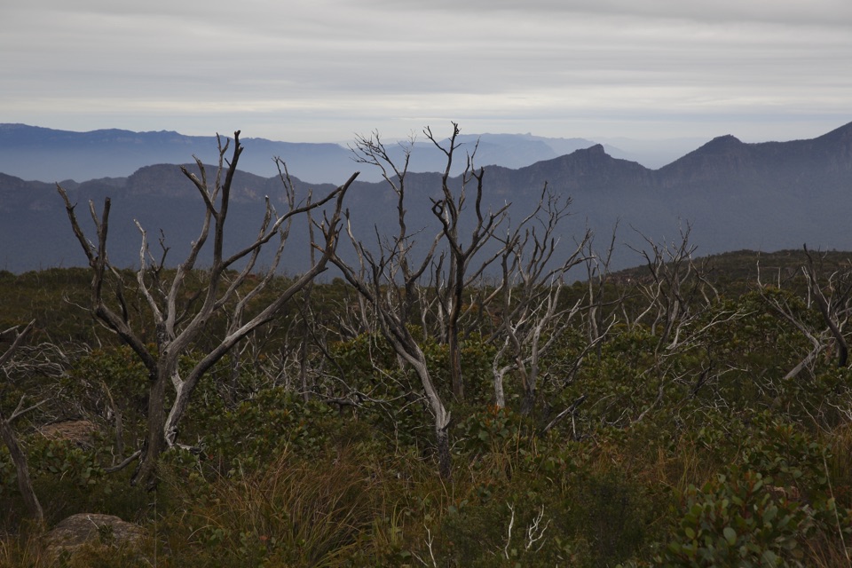 ChallengingMajor Mitchell Plateau Hike41 km · 15 hr · 12 km awayThree days of windswept sandstone high country, big views, real navigation
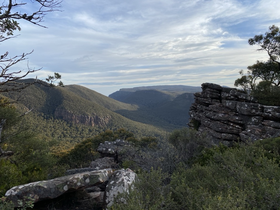 ModerateMt William (Duwul) Summit Walk4 km · 1.8 hr · 12.4 km awaySteep sealed climb to the region's highest point and 360-degree viewsChallengingDurd Durd Overnight Hike20.6 km · 13 hr · 12.4 km awayHighest section of the Peaks Trail, then a long forest descent
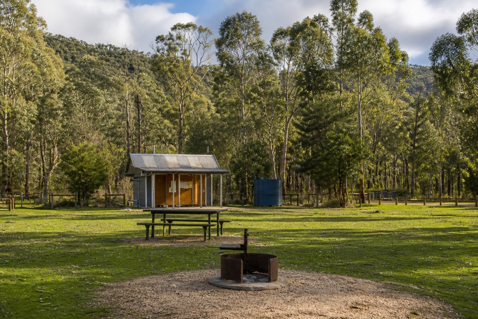 Campground · At the trailheadJimmy Creek CampgroundA quiet Wannon River base for bush camping and Teddy Bear Gap
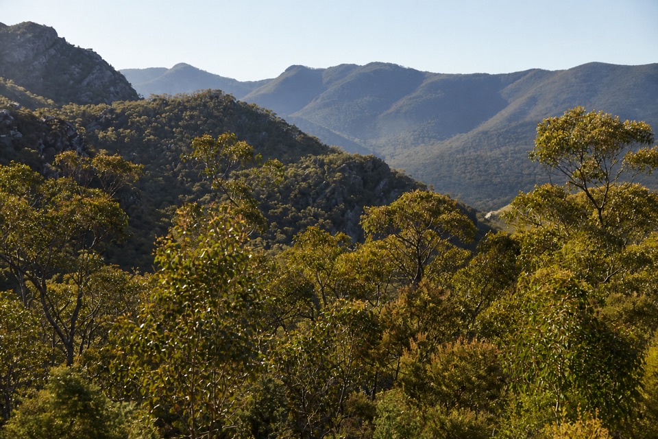 Scenic pullout · 7.1 km awayMirranatwa Gap LookoutA quick roadside view across rugged southern ranges
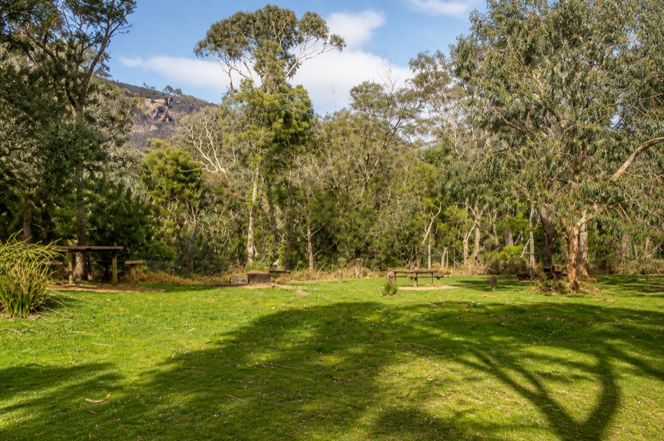 Campground · 7.3 km awayWannon Crossing CampgroundA quiet riverside camp beneath eucalyptus and mountain viewsSight · 10.8 km awayKalymna FallsA fern-framed cascade that rewards a wet-weather detour
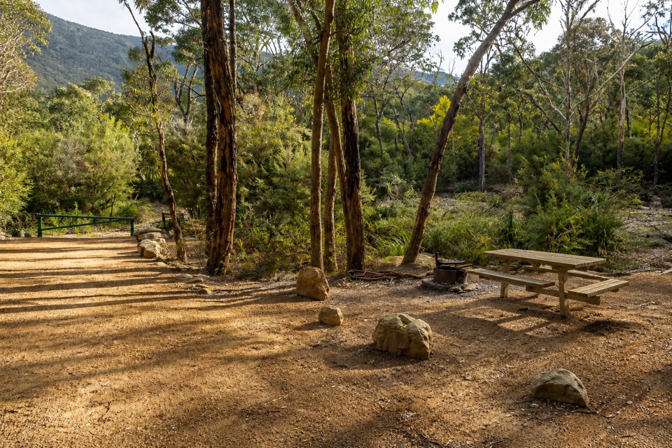 Campground · 11.7 km awayKalymna Falls CampgroundQuiet creekside camping with a seasonal waterfall walk
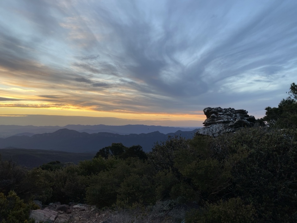 Sight · 12.3 km awayMount William (Duwul)A high, windy summit with sweeping views across rugged ranges
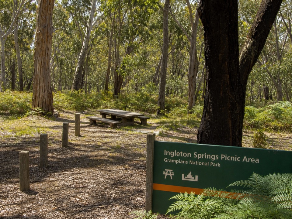 Picnic area · 14.2 km awayIngleton Springs Picnic AreaA quiet eucalyptus picnic stop in a ferny spring clearing
Parkwolf’s Grampians ranking

The audio tour guide for the drive, plus offline maps, trails, and wildlife heatmaps for when the signal drops.





