Parking
Start at the Upper Equestrian Trailhead at Sacramento Pass Recreation Area. From U.S. 50, follow the maintained gravel access road to the upper campground. It has a restroom and horse corral, but no potable water.
Great Basin National Park, NV
A signed 12-mile round trip into Weaver Creek basin.
Overview
Map & elevation
Plan your hike

The highest, rockiest slopes around here are a summer buffet for grizzly bears.
Great Basin Tour Guide
Parkwolf is a GPS audio tour guide for Great Basin National Park. As you drive, it chimes in with what’s ahead: hidden gems, upcoming stops, history, geology, and wildlife, right through your car’s speakers.
More stories near here in the app
“Fantastic app with many points of information… It’s great to just turn on while you’re driving and it gives you an audio tour of the national Park. We love it!!!!”


Trail guide
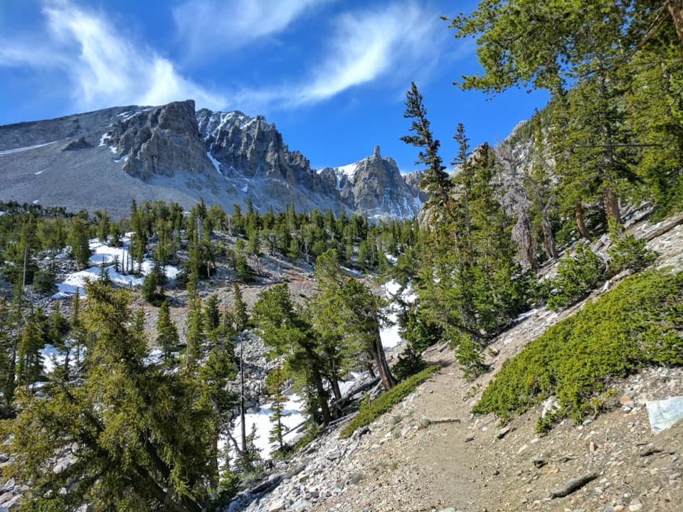
Weaver Creek Trail is a signed, multi-use route from the Upper Equestrian Campground at Sacramento Pass Recreation Area into Weaver Creek basin and Great Basin National Park. The signed corridor is about six miles one way; from the campground, plan on 12 miles out and back. Allow six to seven hours, including stops. It’s a remote, high-elevation road walk, not one of the campground’s short loops, and makes sense if you want a long basin outing.
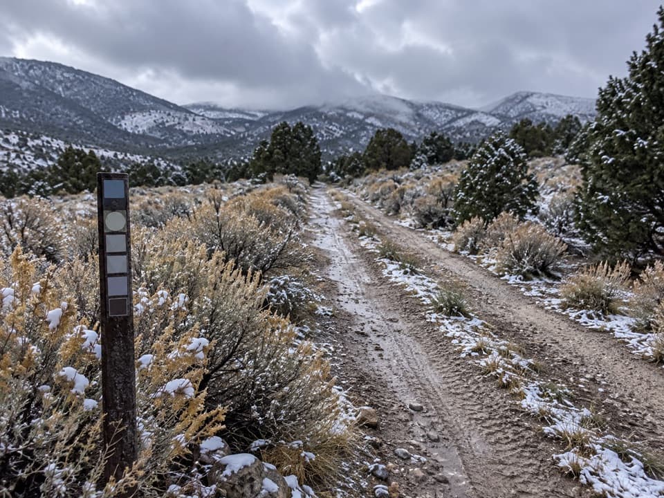
The constructed path lasts only about 100 feet before joining a two-track road. It climbs through juniper and pinyon, drops toward Weaver Creek, then climbs again toward Sage Creek and the park side. The upper stretch is rough and steep, with open views behind you. Some junctions have no obvious marker, so check each split and keep an offline map. Creek crossings may be dry or flowing.
Begin at the Upper Campground Trailhead. The access road off U.S. 50 is maintained gravel. The upper campground has four individual sites, a restroom and a horse corral, but no potable water; reception can be spotty. Pets can’t continue onto Great Basin National Park trails or backcountry, so leave them behind if you intend to hike the full route.
Wildlife
 22 sightingsElkMost seen around 8 PMSighting map
 237 sightingsMule DeerMost seen around 6 AMSighting map
 185 sightingsWild TurkeyMost seen around 7 AMSighting map
 22 sightingsRattlesnakeMost seen around 6 PMSighting map
 23 sightingsDusky GrouseMost seen around 7 AMSighting map
 18 sightingsThree-toed WoodpeckerMost seen around 8 AMSighting map
Sighting maps show where each species has been reported across Great Basin. Wildlife moves, so no sighting is guaranteed.
Keep exploring
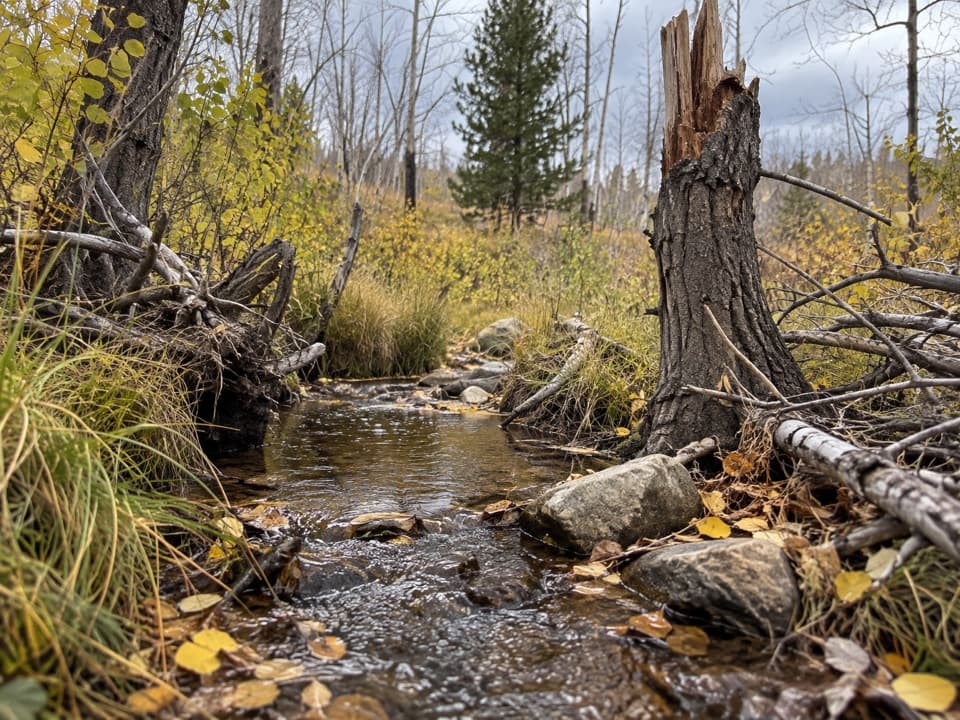 ModerateUpper Strawberry Trail4 mi · 3 hr · 4.1 mi awayA creek climb from meadow to the saddle between two peaks.
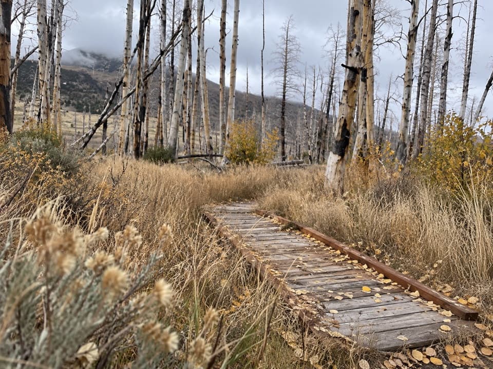 EasySage Steppe Loop1.2 mi · 1 hr · 4.1 mi awayCreekside footbridges and open meadow make an easy high-country loop.
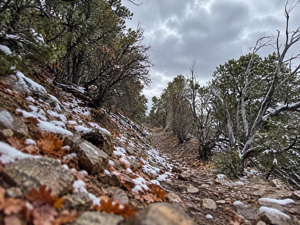 EasyOsceola Ditch Trail3 mi · 1.8 hr · 6.2 mi awayFollow a historic mining ditch to Mill Creek and back.
 ChallengingWheeler Peak Summit Trail8.6 mi · 7 hr · 6.7 mi awayAn exposed high-altitude climb to Nevada’s highest wholly in-state summit.EasyStella Lake via Wheeler Peak Trailhead2.5 mi · 1.5 hr · 6.7 mi awayA shaded alpine walk to a lake below Wheeler Peak.
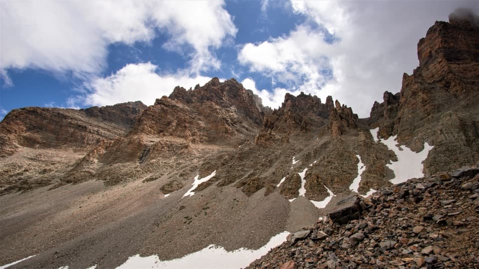 ModerateGlacier Trail4.8 mi · 3 hr · 7.2 mi awayAncient bristlecones lead into the rocky cirque of Nevada’s last glacier.
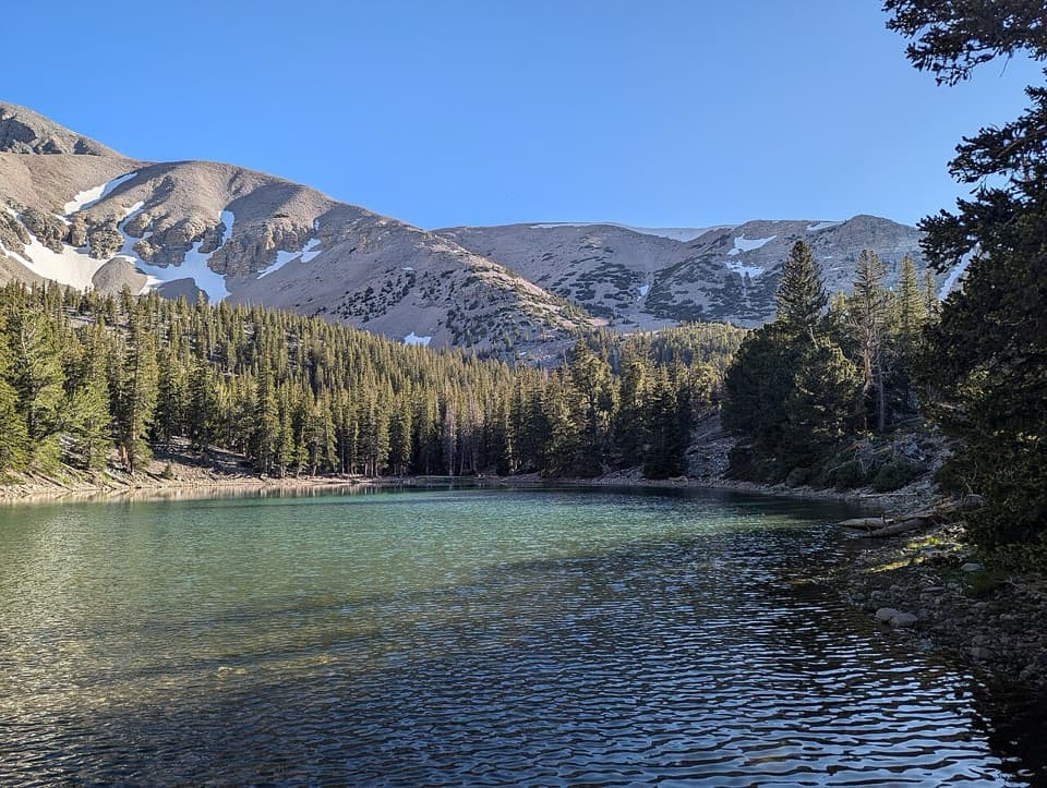 EasyAlpine Lakes Loop2.7 mi · 2.3 hr · 7.2 mi awayTwo alpine lakes and a Wheeler Peak backdrop reward the climb.
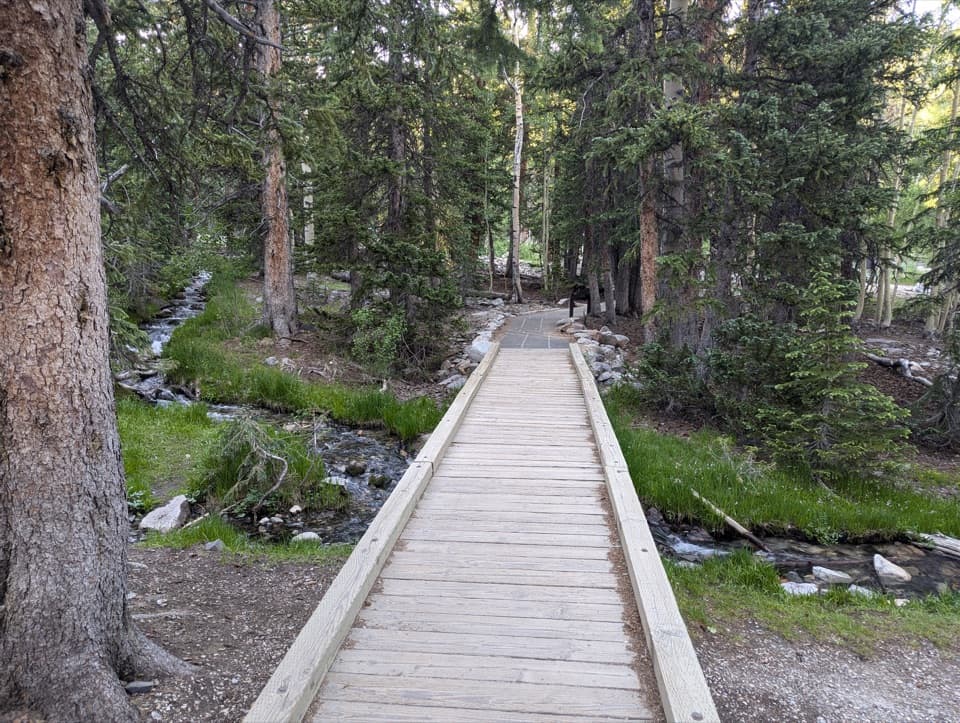 EasySky Island Forest Trail0.4 mi · 30 min · 7.2 mi awayA level boardwalk loop through a forest high above the desert.
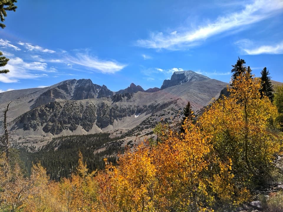 Sight · 6.1 mi awayWheeler Peak OverlookThe road's only look at an ice-filled rock glacier.
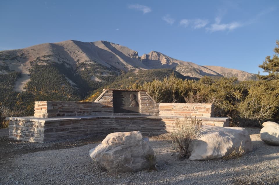 Sight · 6.7 mi awayMather OverlookA close look at Wheeler Peak's cirque and its mountain life zones.
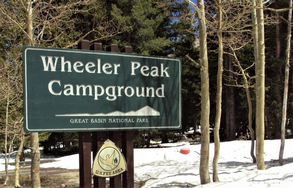 Campground · 7.1 mi awayWheeler Peak CampgroundCamp beneath Wheeler Peak at the National Park System's highest campground.
 Sight · 7.5 mi awayStella LakeA mountain lake worth the full high-country loop.
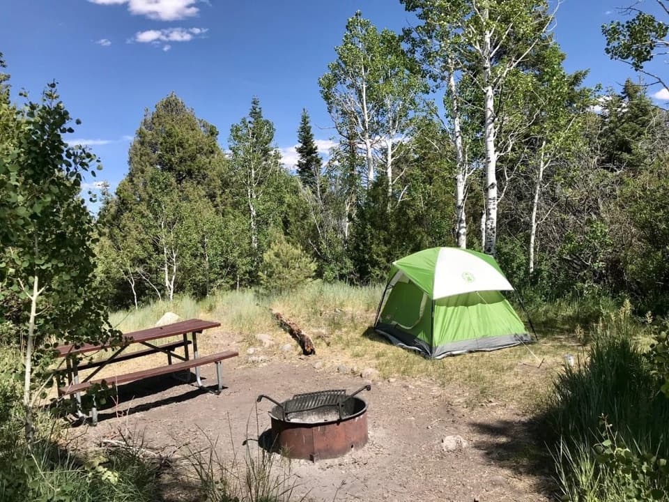 Campground · 7.6 mi awayLower Lehman Creek CampgroundA year-round base for the caves and Wheeler Peak drive.Campground · 7.6 mi awayUpper Lehman Creek CampgroundA wooded creekside base for the caves and high-country trails.
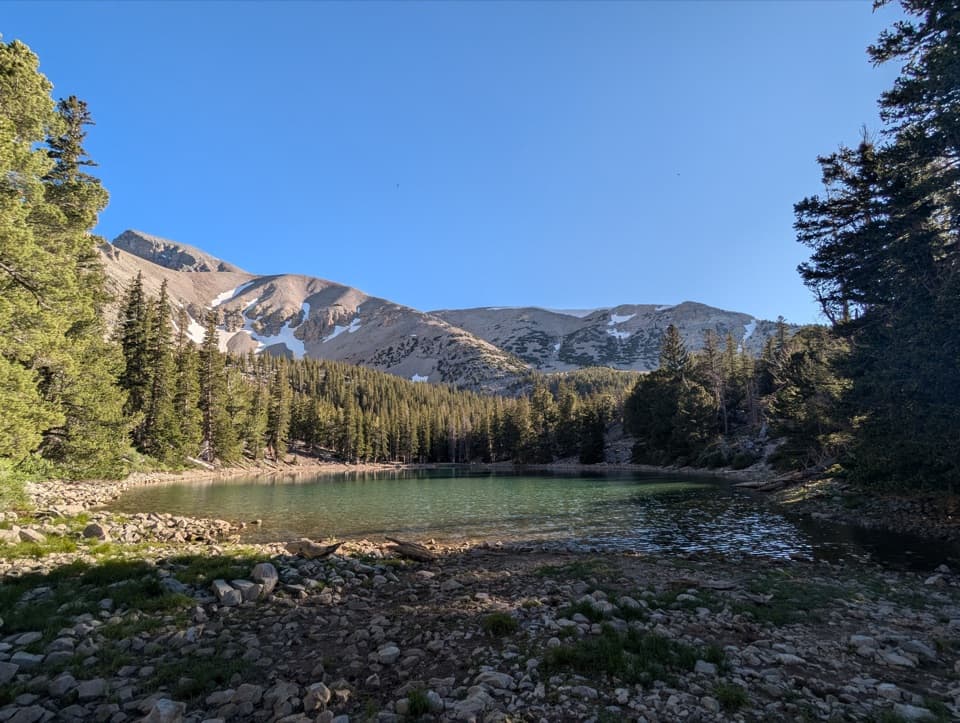 Sight · 7.7 mi awayTeresa LakeA short spur brings Wheeler Peak into the lake view.
 Sight · 7.8 mi awayWheeler Peak Bristlecone GroveA high-country hike among bristlecones and glacial boulders.
Parkwolf’s Great Basin ranking

The audio tour guide for the drive, plus offline maps, trails, and wildlife heatmaps for when the signal drops.