Parking
Start at the day-visitor car park at Blanket Bay Campground, reached by Blanket Bay Road. The route ends at the Cape Otway Great Ocean Walk campground, so arrange pickup or continue on foot as part of a longer itinerary.

#11 of 109 trails in Great Ocean Road
Great Ocean Road, VIC
A coastal stage with a tidal inlet and a steep stair alternative.
Overview
Map & elevation
Plan your hike

The highest, rockiest slopes around here are a summer buffet for grizzly bears.
Great Ocean Road Tour Guide
Parkwolf is a GPS audio tour guide for Great Ocean Road. As you drive, it chimes in with what’s ahead: hidden gems, upcoming stops, history, geology, and wildlife, right through your car’s speakers.
See the Great Ocean Road audio tourRecorded for this trailhead
Blanket Bay“Blanket Bay is ahead, a small bay where I'd stop for rockpools and a picnic. Low tide exposes the rock shelves and pools that make the shoreline worth exploring.”
Plays as you drive up to this trailhead in the Parkwolf Great Ocean Road Tour Guide.
More stories near here in the app
“Fantastic app with many points of information… It’s great to just turn on while you’re driving and it gives you an audio tour of the national Park. We love it!!!!”


Trail guide
This is an 11 km (6.8 mi) point-to-point section of the Great Ocean Walk, from Blanket Bay Campground to the Cape Otway hike-in campground. The published stage estimate is about 3 hours 45 minutes, graded Easy/Medium. It is a long coastal walk, so allow time for a rest and for choosing a safe line at Parker Inlet. Arrange a pickup at Cape Otway or continue into the next Great Ocean Walk stage; your car at Blanket Bay will not be at the finish. The historic Lightstation is a separate stop beyond the hike-in camp, not the route endpoint. Some itineraries show about 10 km because they use a different line or finish at the Lightstation; 11 km here means the campground-to-campground stage.
The track leaves the campground through coastal vegetation, then bends inland into dry forest. Roots interrupt the tread in places. Point Lewis Lookout makes a brief place to pause before several kilometres of forest and low scrub. As the route descends toward Parker Inlet, the vegetation opens and grass trees appear. This stretch starts under cover, but the shore sections farther west are more exposed.
The inlet creek is unbridged. The coastal option crosses by rock shelves and beach toward Point Franklin; take it only when the tide is low, the sea is calm, and water levels are low after rain. A steep inland alternative climbs a long staircase. Check the tide, recent rain, sea state, and local signs before setting out. If the crossing or shore looks unsafe, use the inland route if it is open, or turn back. The choice changes both the effort and the scenery, and the safest route may not be the shortest one.
After the inlet, ocean views open intermittently around Point Franklin and Seal Point. The coast here is a mix of rock shelves, small beaches, and low cliffs rather than a continuous sandy path. Between Seal Point and Crayfish Bay, look back along the shoreline for the Cape Otway Lightstation in the distance when visibility is clear. Beach and cliffside lines can feel quite different underfoot, so keep the tide and surf in mind instead of treating the map as a promise that every shore section will be passable.
At Crayfish Bay the walk turns inland and climbs away from the coast. It passes low scrub and open farmland before reaching the Cape Otway hike-in campground. Expect some short, steeper rises after the gentler coastal stretches. The historic Lightstation precinct is a separate visit from the campground finish; allow extra time if you plan to go there and do not count it as part of the 11 km stage.
Start at the day-visitor car park at Blanket Bay Campground, reached by Blanket Bay Road. This is a one-way walk, not a loop, so plan your transport before leaving the car. Food options on the stage are very limited; carry what you need for the full walk rather than relying on a stop at the Lightstation. The route is within Great Otway National Park, where dogs are generally not permitted on park tracks.
Wildlife
 900 sightingsKoalaMost seen around 5 PMSighting map
 358 sightingsKangarooMost seen around 6 PMSighting map
 49 sightingsLittle PenguinMost seen around 8 PMSighting map
 155 sightingsEchidnaMost seen around 6 PMSighting map
 33 sightingsFur SealMost seen around 6 PMSighting map
 59 sightingsRed-necked WallabyMost seen around 6 AMSighting map
Sighting maps show where each species has been reported across Great Ocean Road. Wildlife moves, so no sighting is guaranteed.
Keep exploring
 ModerateKatabanut Loop3.1 km · 1.3 hr · 0.1 km awayA forest loop climbs to Upper Blanket Bay Falls.
 ModerateBlanket Bay to Parker Hill Walk4.5 km · 2 hr · 0.2 km awayCoastal forest, two lookouts, and a finish at Parker Inlet.
 EasyParker Hill Campground and Stringybark Loop Walk3 km · 1 hr · 4.1 km awayA short forest climb opens onto sweeping views of Parker Inlet.
 ModerateElliot River Loop Walk4.5 km · 2 hr · 5.2 km awayA 4.5 km loop with river rocks, steep steps and lush forest
 ModerateShelly Beach Walk1.8 km · 45 min · 5.4 km awayFern gullies and coastal scrub descend to Shelly Beach.
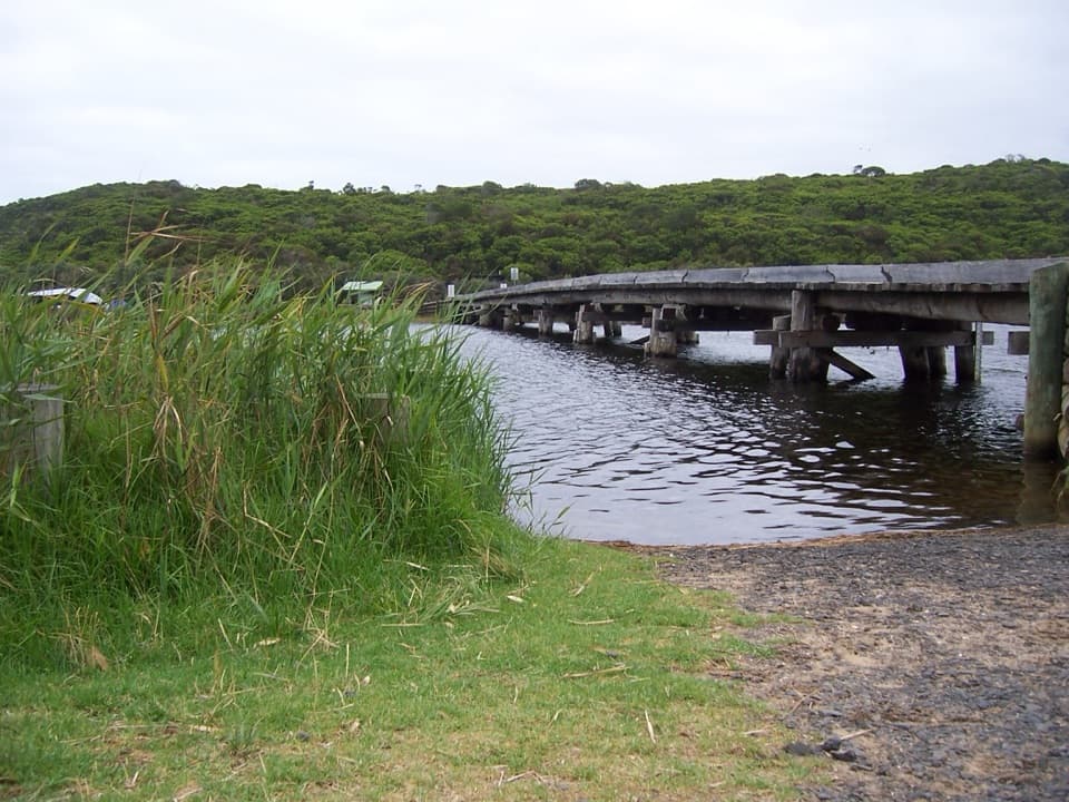 ModerateCape Otway to Aire River Walk9.6 km · 3.8 hr · 6.5 km awayFollow coastal heath and cliff tops from the Lightstation to Aire River.
 ModerateStation Beach and Rainbow Falls Walk11.5 km · 5 hr · 6.6 km awayA long sandy walk to a spring-fed waterfall above the surf.
 EasyMaits Rest Rainforest Walk0.8 km · 30 min · 8.3 km awayA quick boardwalk loop through giant fern gullies and old rainforest.
 Beach · 0.7 km awayBlanket BayA sheltered beach for rockpools, coastal walks and a slower stop.
 Campground · 3 km awayParker Hill CampgroundA shady tent camp above a wild inlet and ocean beach
 Campground · 6 km awayBimbi ParkCamp beneath the gums beside the Great Ocean Walk.
 Sight · 6.6 km awayCape Otway LightstationSea cliffs, lighthouse history, a telegraph station and WWII bunker.
 Sight · 6.7 km awayWildlife WondersA guided Otways walk among free-roaming wildlife and ocean views.
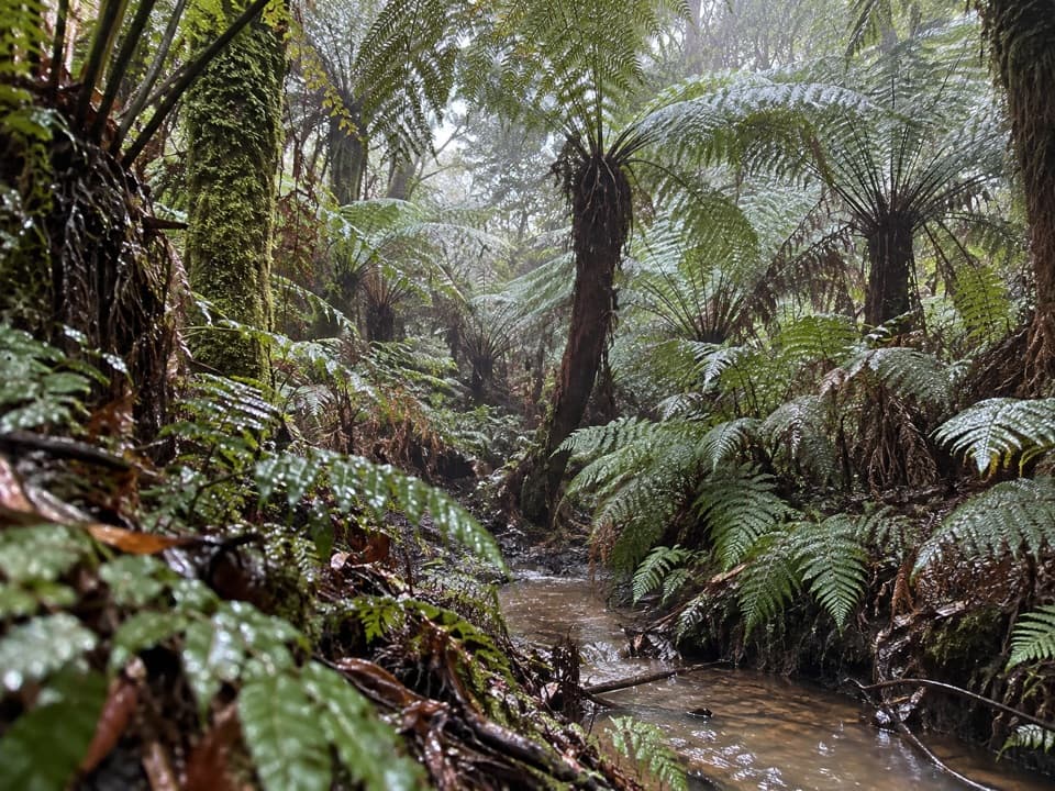 Sight · 8.3 km awayMaits Rest Rainforest WalkA shady boardwalk loop through fern gullies and giant old trees.
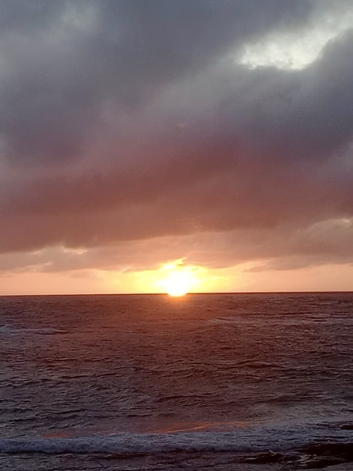 Campground · 9 km awayMarengo Family Caravan ParkBeachfront cabins and campsites beside Marengo’s reef
 Beach · 9.1 km awayMarengo BeachSandy shore, rock pools at low tide, and fur seals offshore.
Parkwolf’s Great Ocean Road ranking

The audio tour guide for the drive, plus offline maps, trails, and wildlife heatmaps for when the signal drops.




