Parking
Start at Point Franklin Carpark for this mapped loop, or at Parker Hill Campground at the other end of the circuit.

Great Ocean Road, VIC
A short forest climb opens onto sweeping views of Parker Inlet.
Overview
Map & elevation
Plan your hike

The highest, rockiest slopes around here are a summer buffet for grizzly bears.
Great Ocean Road Tour Guide
Parkwolf is a GPS audio tour guide for Great Ocean Road. As you drive, it chimes in with what’s ahead: hidden gems, upcoming stops, history, geology, and wildlife, right through your car’s speakers.
See the Great Ocean Road audio tourRecorded for this area
The Ship That Became a House“One Torquay house began life on the deck of a sailing ship. In eighteen ninety-one, the Joseph H. Scammell struck the reef at Point Danger and broke up. Its deckhouse washed ashore intact.”
Plays on the road 1 km from the trailhead in the Parkwolf Great Ocean Road Tour Guide.
More stories near here in the app
“Fantastic app with many points of information… It’s great to just turn on while you’re driving and it gives you an audio tour of the national Park. We love it!!!!”


Trail guide
This 3 km circuit takes about an hour, climbing inland from Point Franklin through Stringybark forest to Parker Hill before returning on the clifftop Great Ocean Walk. The reward is a change from forest to high coastal views over Parker Inlet and the open water. Start from Point Franklin or Parker Hill Campground; this mapped line begins and ends at Point Franklin.
Stringybark Track rises through tall forest toward Parker Hill. Views open above the inlet as the route nears the hill, making this a short walk with a clear climb rather than a flat beach stroll.
The return follows the Great Ocean Walk along the clifftop toward Point Franklin, with distant views toward Cape Otway Lightstation. A separate steep staircase of about 300 steps descends to the sheltered inlet. That is an optional detour below the loop, not part of its 3 km distance.
Use Point Franklin Carpark for the mapped start, or begin at Parker Hill Campground, the other access named for the circuit. Pets are not allowed in Great Otway National Park; assistance dogs are permitted under park entry requirements.
Wildlife
 900 sightingsKoalaMost seen around 5 PMSighting map
 358 sightingsKangarooMost seen around 6 PMSighting map
 49 sightingsLittle PenguinMost seen around 8 PMSighting map
 155 sightingsEchidnaMost seen around 6 PMSighting map
 33 sightingsFur SealMost seen around 6 PMSighting map
 59 sightingsRed-necked WallabyMost seen around 6 AMSighting map
Sighting maps show where each species has been reported across Great Ocean Road. Wildlife moves, so no sighting is guaranteed.
Keep exploring
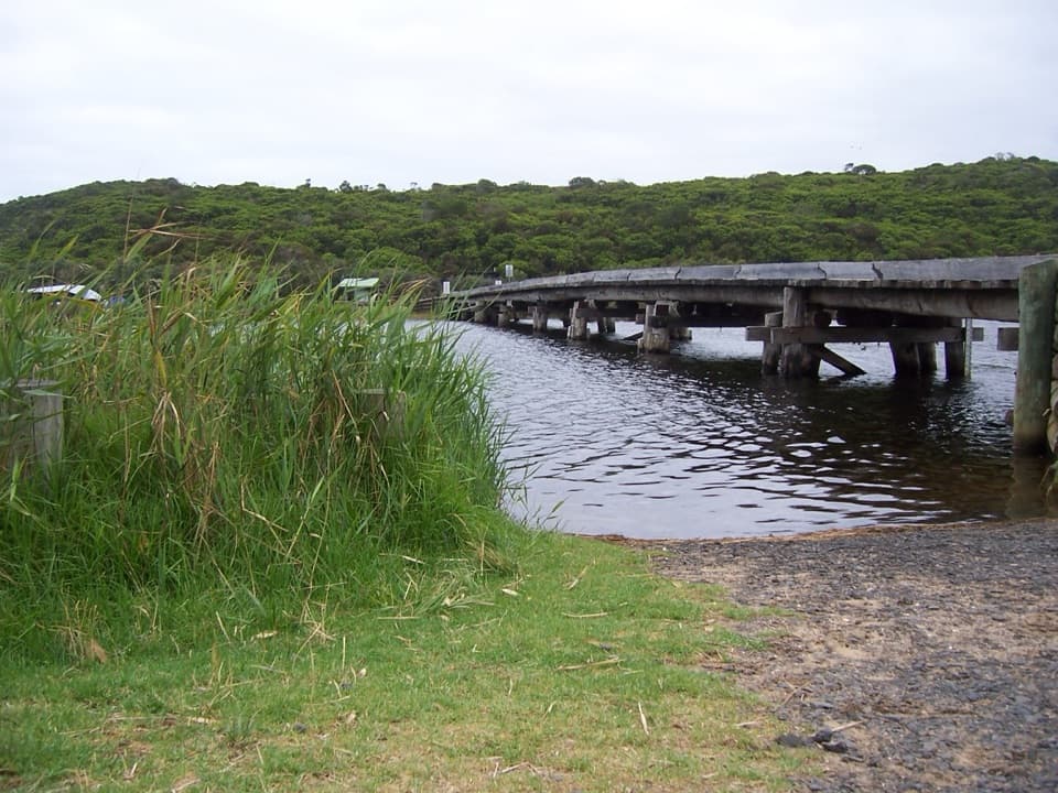 ModerateCape Otway to Aire River Walk9.6 km · 3.8 hr · 2.7 km awayFollow coastal heath and cliff tops from the Lightstation to Aire River.
 ModerateStation Beach and Rainbow Falls Walk11.5 km · 5 hr · 2.7 km awayA long sandy walk to a spring-fed waterfall above the surf.
 ModerateBlanket Bay to Parker Hill Walk4.5 km · 2 hr · 4 km awayCoastal forest, two lookouts, and a finish at Parker Inlet.
 ModerateBlanket Bay to Cape Otway Walk11 km · 3.8 hr · 4.1 km awayA coastal stage with a tidal inlet and a steep stair alternative.
 ModerateKatabanut Loop3.1 km · 1.3 hr · 4.1 km awayA forest loop climbs to Upper Blanket Bay Falls.
 ModerateAire River Escarpment Lookout Walk4 km · 2 hr · 8 km awayA moderate coastal walk to views across estuary, wetlands and sea.
 ModerateAire River to Johanna Beach Walk13.8 km · 5.3 hr · 8.2 km awayCoastal heath, Castle Cove, and a long beach finish.
 ModerateElliot River Loop Walk4.5 km · 2 hr · 9.3 km awayA 4.5 km loop with river rocks, steep steps and lush forest
 Campground · 1.2 km awayParker Hill CampgroundA shady tent camp above a wild inlet and ocean beach
 Sight · 2.7 km awayCape Otway LightstationSea cliffs, lighthouse history, a telegraph station and WWII bunker.
 Campground · 3.3 km awayBimbi ParkCamp beneath the gums beside the Great Ocean Walk.
 Beach · 4.8 km awayBlanket BayA sheltered beach for rockpools, coastal walks and a slower stop.
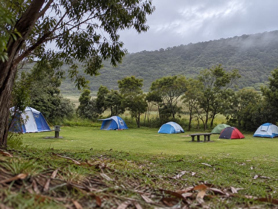 Campground · 7.9 km awayAire River East CampgroundA sheltered estuary camp for self-sufficient paddlers.
 Campground · 8.1 km awayAire River West CampgroundAn open riverbank base built for caravans, groups and longer stays.
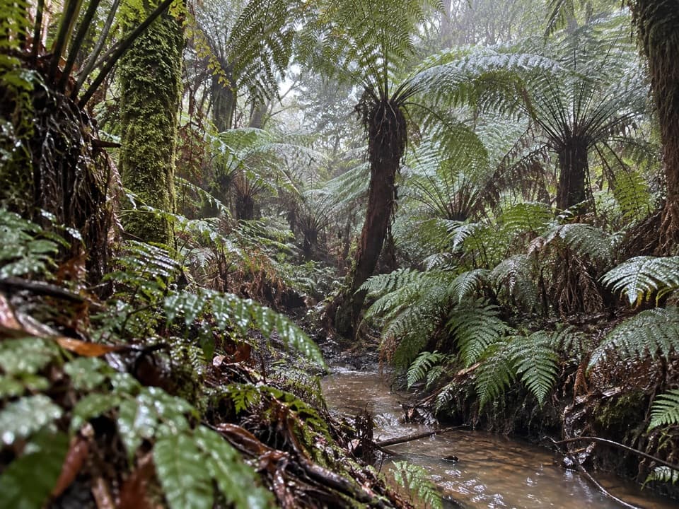 Sight · 10.6 km awayMaits Rest Rainforest WalkA shady boardwalk loop through fern gullies and giant old trees.
 Sight · 10.8 km awayWildlife WondersA guided Otways walk among free-roaming wildlife and ocean views.
Parkwolf’s Great Ocean Road ranking

The audio tour guide for the drive, plus offline maps, trails, and wildlife heatmaps for when the signal drops.





