Parking
From Anglesea, follow the Great Ocean Road toward Geelong for about 7.5 km. Turn right onto Point Addis Road, then left into Ironbark Basin Car Park about 500 m later.
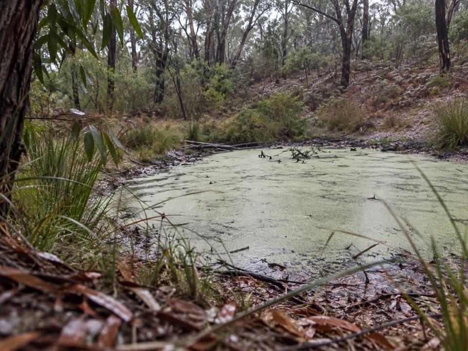
Great Ocean Road, VIC
A short bushwalk to a valley dam and old grasstrees
Overview
Map & elevation
Plan your hike

The highest, rockiest slopes around here are a summer buffet for grizzly bears.
Great Ocean Road Tour Guide
Parkwolf is a GPS audio tour guide for Great Ocean Road. As you drive, it chimes in with what’s ahead: hidden gems, upcoming stops, history, geology, and wildlife, right through your car’s speakers.
See the Great Ocean Road audio tourRecorded for this trailhead
Ironbark Basin Nature Trail“You're nearing Ironbark Basin, where the short Nature Trail Circuit takes you into a forested valley. Allow about an hour for the one-and-a-half-kilometre loop, with a short steep descent and climb back out.”
Plays as you drive up to this trailhead in the Parkwolf Great Ocean Road Tour Guide.
More stories near here in the app
“Fantastic app with many points of information… It’s great to just turn on while you’re driving and it gives you an audio tour of the national Park. We love it!!!!”


Trail guide
From Ironbark Basin Car Park, follow the main track to the signed Nature Trail Circuit. This compact loop drops into a forested valley, passes a small dam, then climbs back to the car park. It is about 1.5 km (0.93 mi) and takes around an hour. This is the short signed nature circuit, not the longer Point Addis–Ironbark or Surf Coast walks.
Halfway down the slope, a stand of young and old Austral Grasstrees is a highlight. The track winds through regrowth Red Ironbark and Messmate Stringybark, with pomaderris that can flower in spring. A bench near the start of the return climb offers a pause before the uphill stretch; near the top, look back down the valley to see the path winding among the trees.
The circuit has a short steep descent and a short steep climb. Take extra care after rain. The route is in Great Otway National Park, where dogs are not permitted.
Wildlife
 900 sightingsKoalaMost seen around 5 PMSighting map
 358 sightingsKangarooMost seen around 6 PMSighting map
 49 sightingsLittle PenguinMost seen around 8 PMSighting map
 155 sightingsEchidnaMost seen around 6 PMSighting map
 33 sightingsFur SealMost seen around 6 PMSighting map
 59 sightingsRed-necked WallabyMost seen around 6 AMSighting map
Sighting maps show where each species has been reported across Great Ocean Road. Wildlife moves, so no sighting is guaranteed.
Keep exploring
 ModeratePoint Addis Koorie Cultural Walk2 km · 1 hr · 1.8 km awayA short Wadawurrung walk to a lookout above Addiscott Beach.
 ModerateAnglesea Heath: Point Addis to Anglesea8 km · 2.3 hr · 1.8 km awayPoint Addis to Anglesea: 7.9 km of beach, cliffs, and heath
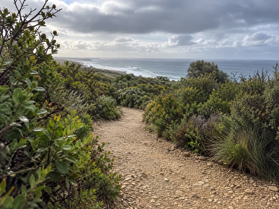 EasyRed Rocks Lookout Walk1.3 km · 30 min · 3 km awayA short coastal path to Red Rocks views and beach access.ModerateIronbark Basin Walk, Bells Beach to Point Addis8.2 km · 2.5 hr · 3.6 km awaySand, steps, sheltered forest, then three Point Addis lookouts.
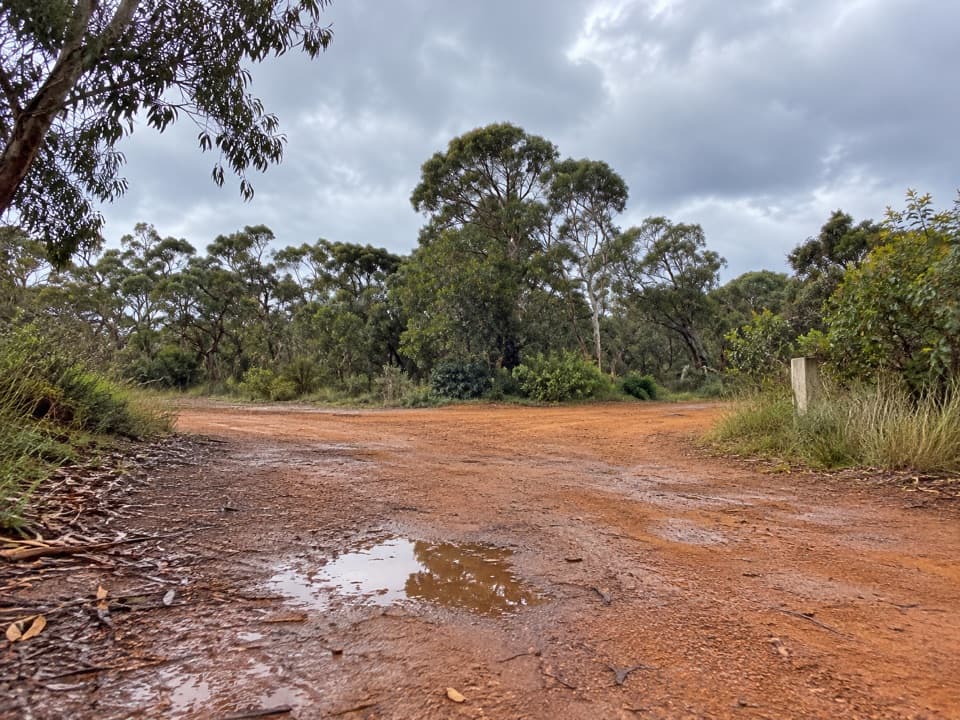 ModerateShiney Eye Circuit7.9 km · 3.5 hr · 4 km awayWildflowers, open heath and views over Anglesea.
 EasyThe Bells Track3.2 km · 48 min · 5.7 km awayA 3.2 km clifftop walk from Bird Rock to Bells Beach.
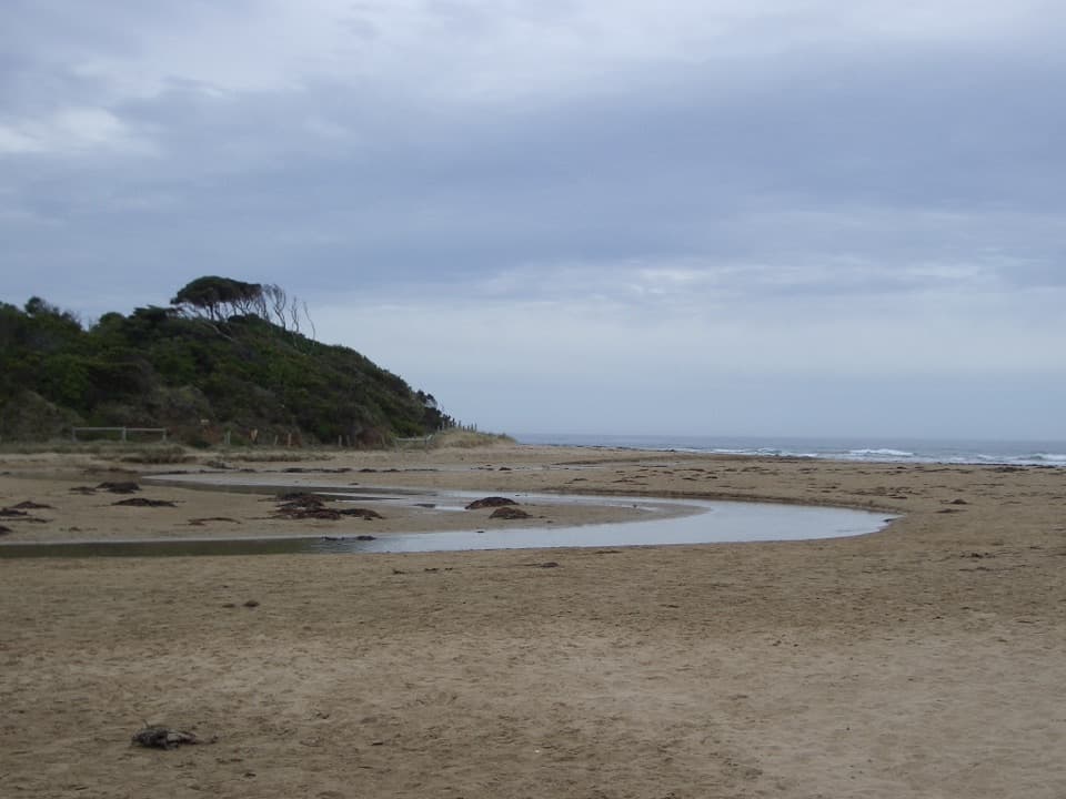 EasyAnglesea Riverbanks Walk1.4 km · 20 min · 6.1 km awayA flat river path from Anglesea’s river mouth into town.
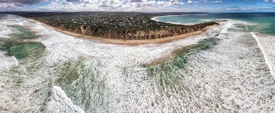 EasyPoint Roadknight Walk2.7 km · 40 min · 6.3 km awayBlufftop views reward an easy walk to Point Roadknight Beach.Sight · 1.8 km awayPoint Addis LookoutTwo lookouts, broad coastal views, and stairs to the beach below.
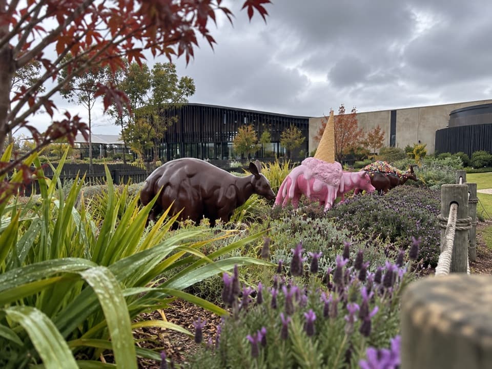 Sight · 2.7 km awayThe Chocolateries Great Ocean RoadA working chocolaterie for free samples, ice cream and lunch.
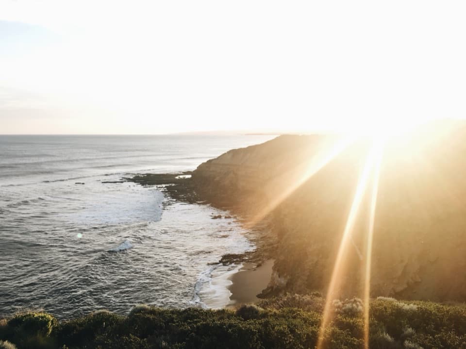 Beach · 3.6 km awayBells BeachA legendary surf break best watched from the clifftop.
 Sight · 5.7 km awayBird Rock LookoutWide views over Jan Juc Beach and the Surf Coast
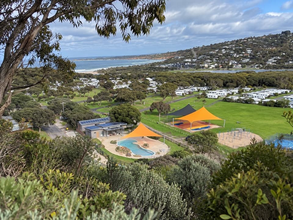 Campground · 6 km awayAnglesea Family Caravan ParkCamp beside Anglesea River, with beach and town a short walk away.
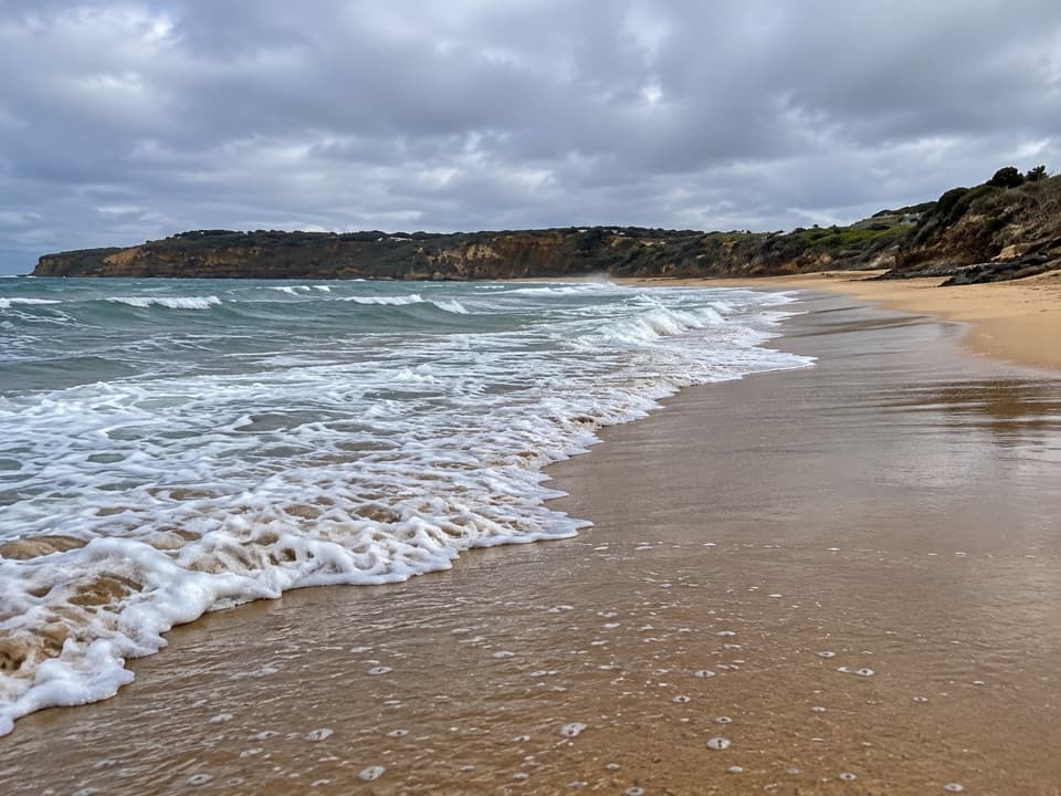 Beach · 6.5 km awayJan Juc BeachA 1.2 km surf beach with a clifftop walk toward Rocky Point.
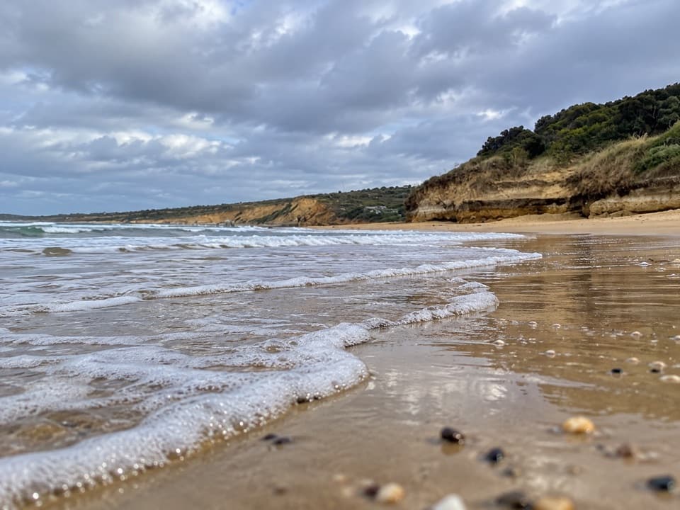 Beach · 6.7 km awayAnglesea Main BeachSand, surf, and the river meeting at Anglesea’s main beach.
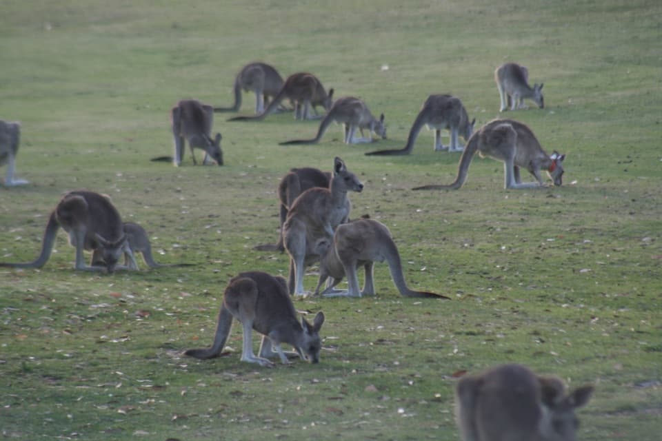 Sight · 7.3 km awayAnglesea Golf Club Kangaroo ToursA guided ride past Anglesea Golf Club’s resident kangaroos.
Parkwolf’s Great Ocean Road ranking

The audio tour guide for the drive, plus offline maps, trails, and wildlife heatmaps for when the signal drops.




