Parking
Start at Bells Beach Carpark on Bells Beach Road and finish at Point Addis Carpark near the end lookouts and toilet block. Arrange a pickup or vehicle swap before starting; this is a one-way section.

Great Ocean Road, VIC
Sand, steps, sheltered forest, then three Point Addis lookouts.
Overview
Map & elevation
Plan your hike

The highest, rockiest slopes around here are a summer buffet for grizzly bears.
Great Ocean Road Tour Guide
Parkwolf is a GPS audio tour guide for Great Ocean Road. As you drive, it chimes in with what’s ahead: hidden gems, upcoming stops, history, geology, and wildlife, right through your car’s speakers.
See the Great Ocean Road audio tourRecorded for this trailhead
Bells Beach“You're nearing Bells Beach, where I'd stop to watch the surf from the clifftop platforms. You get the view along the coast without taking the long staircase down to the sand.”
Plays as you drive up to this trailhead in the Parkwolf Great Ocean Road Tour Guide.
More stories near here in the app
“Fantastic app with many points of information… It’s great to just turn on while you’re driving and it gives you an audio tour of the national Park. We love it!!!!”


Trail guide
Ironbark Basin Walk is an 8.2 km (5.1 mi) one-way section of the Surf Coast Walk, from Bells Beach to Point Addis. It begins by the surf, climbs inland through Ironbark Basin, then returns to the sea at three Point Addis lookouts. The change from open coast to sheltered forest and back makes this a better choice than a short headland stroll if you want a proper half-day walk. The section is graded 3. Allow two to three hours: the published walk time is two hours, but the lookouts deserve a stop. This is point-to-point, so arrange a pickup or a second car before you set off.
Start at Bells Beach Carpark and follow the Surf Coast Walk markers. The track climbs away from the beach on rough steps toward Southside car park, follows the road briefly, then turns inland. It is a formed track, but expect short steep hills, steps and some sandy stretches; this is not a flat coastal promenade. Inside the basin the wind and surf fall away. The trail passes through sheltered forest and heath among grass trees, with rolling rises rather than one long climb.
Grass trees are a striking feature of the basin; orchids, echidnas and reptiles are also possible, not promised. Look carefully through the heath, especially in spring. The route also points you toward the Koorie Cultural Walk, which adds context on Wadawurrung traditional country; give its interpretation a few minutes instead of racing through the basin.
Wadawurrung people gathered red ochre here for ceremonial use. Jarosite deposits drew an industrial venture after geologist George Stephen Affleck identified them in 1909; with financier Archibald Victor Nobelius and chemist David Avery, he established a company whose processing plant was ready in 1925. A tramway hauled the pigment from the beach up the cliff from 1926. The company was liquidated by 1931. Regrowth has hidden most of the mine, though traces may remain in the scrub. Stay on the path rather than searching for them.
Near the end, the route crosses Point Addis Road and passes the toilet block before reaching the three lookouts. They look over a broad sandy beach and layered limestone cliffs, a dramatic change from the sheltered basin. For a photo, leave some coastal scrub in the foreground so the cliff edge and the water below have scale. If you see an 11 km Bells Beach–Point Addis circuit described elsewhere, that is a different beach-return itinerary with tide constraints; this section ends at Point Addis. There is no food or drinking-water stop listed on the route, so plan those before leaving. Dogs are not permitted on this national-park section. If you want a much shorter walk in the basin, the separate 1.5 km Ironbark Basin Nature Trail Circuit starts from its own car park off Point Addis Road; it does not reach Bells Beach or the Point Addis lookouts.
Wildlife
 900 sightingsKoalaMost seen around 5 PMSighting map
 358 sightingsKangarooMost seen around 6 PMSighting map
 49 sightingsLittle PenguinMost seen around 8 PMSighting map
 155 sightingsEchidnaMost seen around 6 PMSighting map
 33 sightingsFur SealMost seen around 6 PMSighting map
 59 sightingsRed-necked WallabyMost seen around 6 AMSighting map
Sighting maps show where each species has been reported across Great Ocean Road. Wildlife moves, so no sighting is guaranteed.
Keep exploring
 EasyThe Bells Track3.2 km · 48 min · 2.5 km awayA 3.2 km clifftop walk from Bird Rock to Bells Beach.
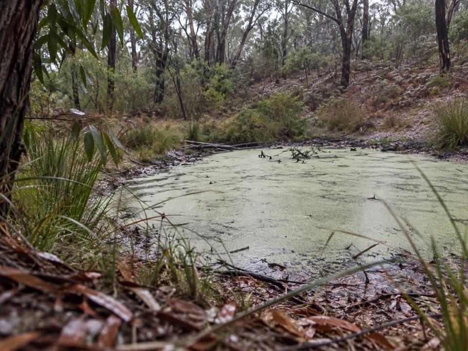 EasyIronbark Basin Nature Trail1.5 km · 1 hr · 3.6 km awayA short bushwalk to a valley dam and old grasstrees
 ModeratePoint Addis Koorie Cultural Walk2 km · 1 hr · 4 km awayA short Wadawurrung walk to a lookout above Addiscott Beach.ModerateAnglesea Heath: Point Addis to Anglesea8 km · 2.3 hr · 4 km awayPoint Addis to Anglesea: 7.9 km of beach, cliffs, and heath
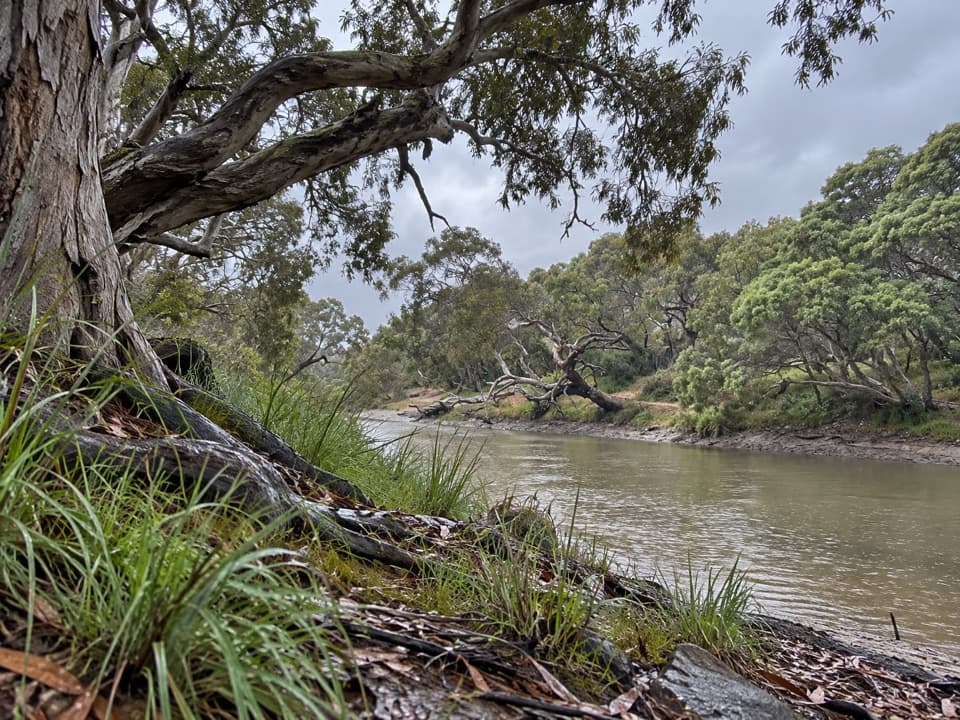 EasySpring Creek Nature Reserve Walk0.9 km · 24 min · 4.2 km awayA short gravel walk beneath moonahs beside Spring Creek.
 EasySurf Coasting Walk: Point Danger to Bird Rock3.3 km · 54 min · 4.8 km awayA short clifftop link from surf beaches to two sweeping coastal lookouts.
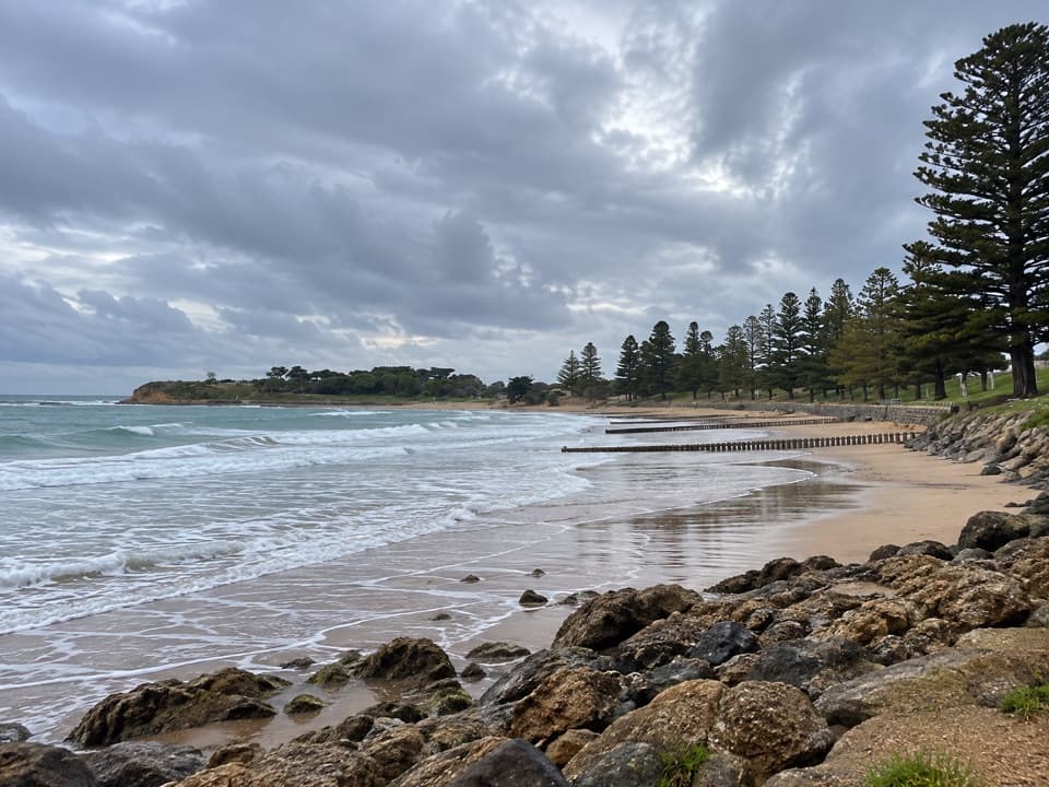 EasyTorquay Promenade Walk1.5 km · 20 min · 5.5 km awayA flat foreshore stroll from Yellow Bluff to Point Danger.
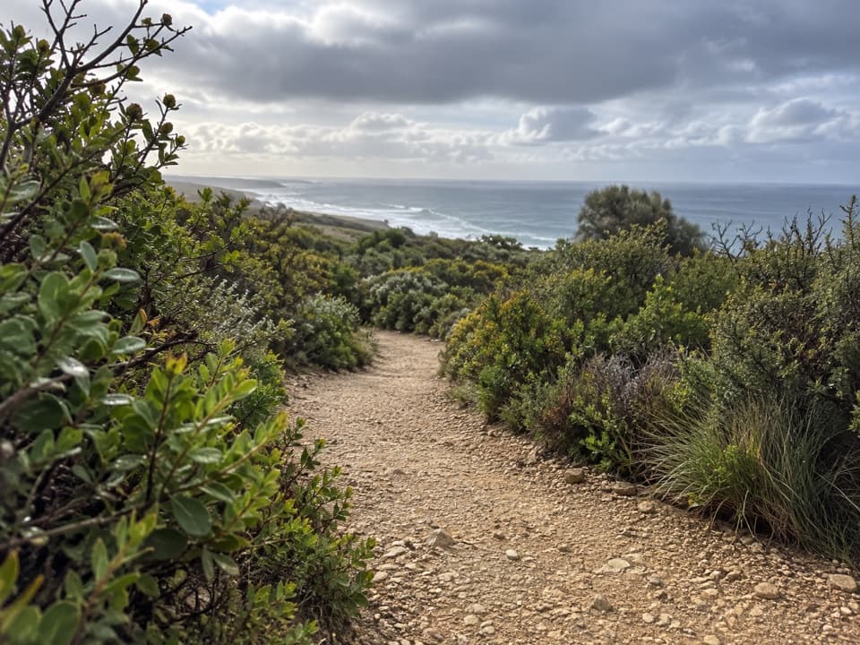 EasyRed Rocks Lookout Walk1.3 km · 30 min · 6.2 km awayA short coastal path to Red Rocks views and beach access.
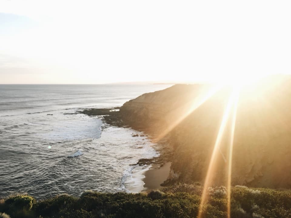 Beach · At the trailheadBells BeachA legendary surf break best watched from the clifftop.
 Sight · 2.5 km awayBird Rock LookoutWide views over Jan Juc Beach and the Surf Coast
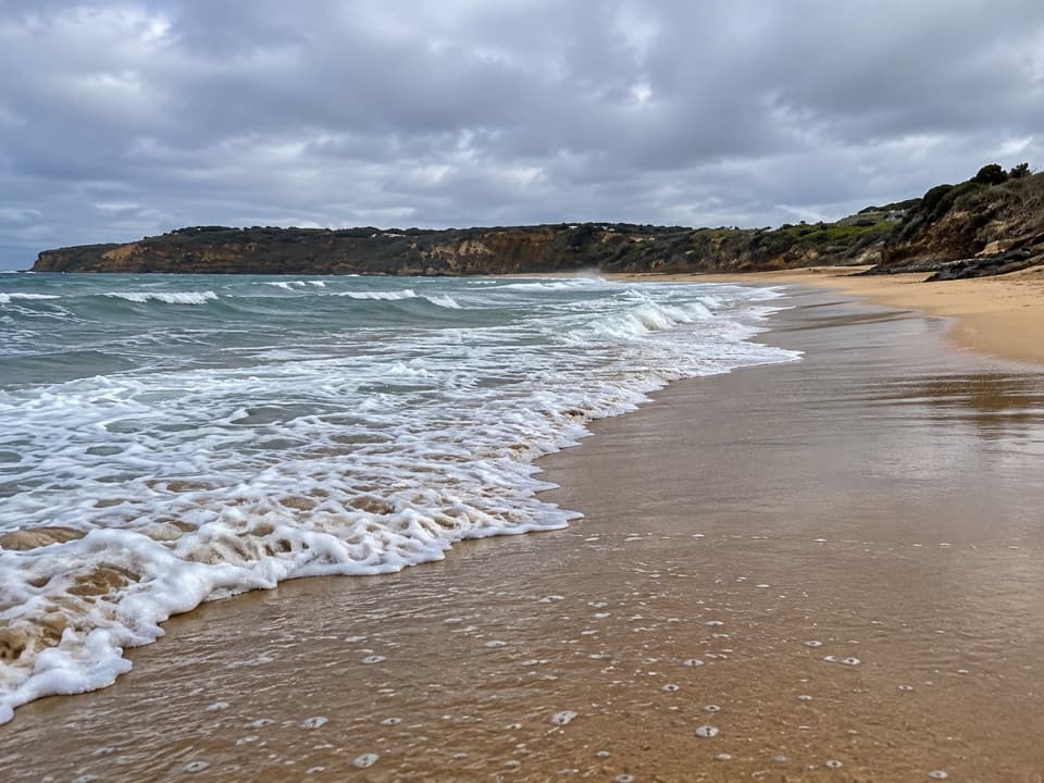 Beach · 3.2 km awayJan Juc BeachA 1.2 km surf beach with a clifftop walk toward Rocky Point.Sight · 4 km awayPoint Addis LookoutTwo lookouts, broad coastal views, and stairs to the beach below.
 Beach · 4 km awayTorquay Surf BeachBass Strait surf and a big chapter in Australian surf history.
 Campground · 4.4 km awayTorquay Foreshore Caravan ParkSleep beside the surf, with Torquay's shops a short walk away.
 Beach · 5.2 km awayTorquay Front BeachA town beach with sheltered Cosy Corner at Point Danger.
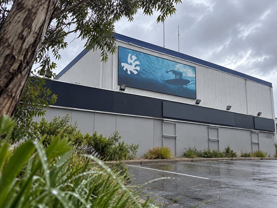 Sight · 5.3 km awayAustralian National Surfing MuseumSurfboard history beneath a breaking wave, with an old Kombi.
Parkwolf’s Great Ocean Road ranking

The audio tour guide for the drive, plus offline maps, trails, and wildlife heatmaps for when the signal drops.




