Parking
Start at the Anglesea Visitor Information Centre on Great Ocean Road. The walk ends at Point Roadknight Beach; no dedicated trail car park or return service was verified, so plan a lift or return walk.
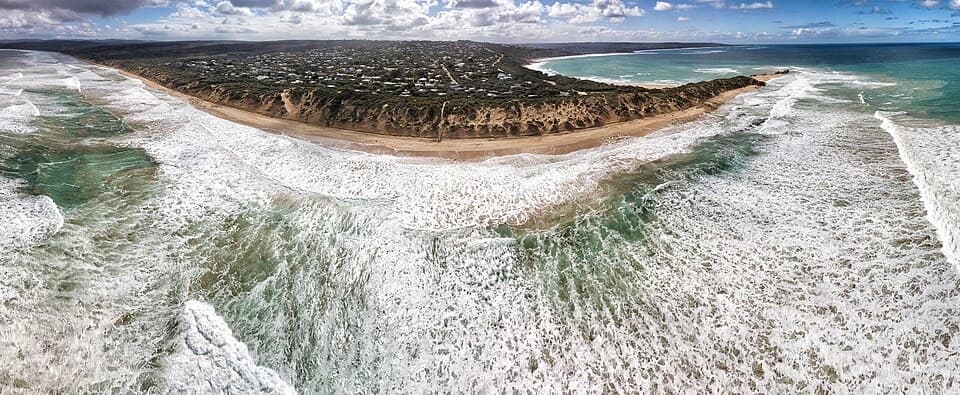
Great Ocean Road, VIC
Blufftop views reward an easy walk to Point Roadknight Beach.
Overview
Map & elevation
Plan your hike

The highest, rockiest slopes around here are a summer buffet for grizzly bears.
Great Ocean Road Tour Guide
Parkwolf is a GPS audio tour guide for Great Ocean Road. As you drive, it chimes in with what’s ahead: hidden gems, upcoming stops, history, geology, and wildlife, right through your car’s speakers.
See the Great Ocean Road audio tourRecorded for this trailhead
Anglesea Main Beach and River Mouth“Anglesea Main Beach is coming up, where the river mouth meets a broad curve of sand beneath low orange cliffs.”
Plays as you drive up to this trailhead in the Parkwolf Great Ocean Road Tour Guide.
More stories near here in the app
“Fantastic app with many points of information… It’s great to just turn on while you’re driving and it gives you an audio tour of the national Park. We love it!!!!”


Trail guide
Point Roadknight Walk is a 2.69 km one-way coastal walk from the Anglesea Visitor Information Centre to Point Roadknight Beach. It climbs out of town to a bluff, then descends to the coast, with views over Middles Beach, Soapy Rock and Point Roadknight. The path is well formed with no steps; allow about 40 minutes walking, or closer to an hour if you stop at the lookouts. Published distances for this leg vary from 2.69 to 3.1 km; this mapped route follows the Visitor Centre-to-beach line. It is not a loop, so walking back makes the outing about 5.4 km.
From the Visitor Information Centre, the route passes the Four Kings Corner crossing and Moonah Park before reaching the Anglesea Surf Life Saving Club crossing. Then it rises to the bluff, where the view opens across Middles Beach and Soapy Rock, and continues above the coast before dropping toward Point Roadknight Beach and the yacht club. The climb and descent are short, but they make this more interesting than a flat beach stroll.
Pause at Middles Beach Lookout: it is the clearest place to take in Middles Beach, Soapy Rock and Point Roadknight together. Soapy Rocks are smooth formations below eroding red bluffs. Keep to the formed route around the bluff and take care on the slick shoreline rocks. At Point Roadknight Beach, rock pools are a nice extra to explore when the tide is low; tide timing is for the beach, not a requirement for the walk.
Dogs are allowed on leash along the Surf Coast Walk. The route listing marks toilets and a kiosk at the Point Roadknight end, but current kiosk hours were not confirmed, so do not count on it for food or water. Start at the Anglesea Visitor Information Centre on Great Ocean Road and arrange a lift from the beach or plan to walk back; a return shuttle was not verified.
Wildlife
 900 sightingsKoalaMost seen around 5 PMSighting map
 358 sightingsKangarooMost seen around 6 PMSighting map
 49 sightingsLittle PenguinMost seen around 8 PMSighting map
 155 sightingsEchidnaMost seen around 6 PMSighting map
 33 sightingsFur SealMost seen around 6 PMSighting map
 59 sightingsRed-necked WallabyMost seen around 6 AMSighting map
Sighting maps show where each species has been reported across Great Ocean Road. Wildlife moves, so no sighting is guaranteed.
Keep exploring
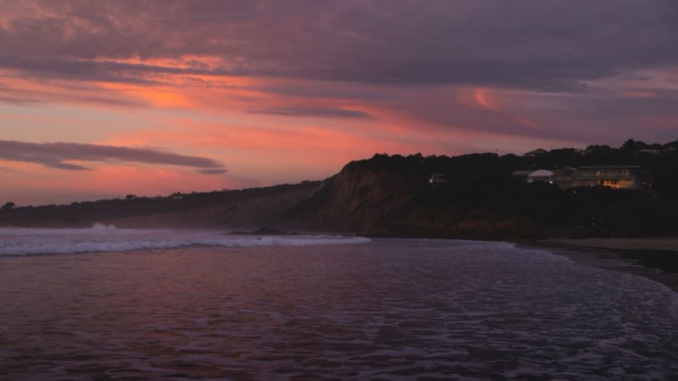 ModerateAnglesea Perimeter Walk22 km · 6.5 hr · At the trailheadA full loop from river boardwalks to heathland and clifftop views.
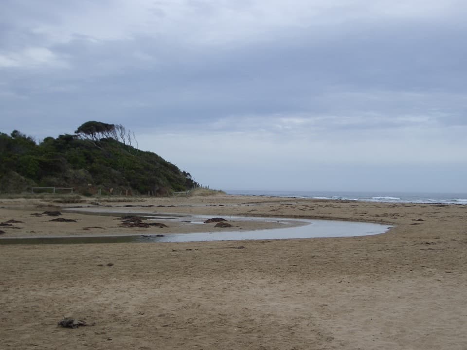 EasyAnglesea Riverbanks Walk1.4 km · 20 min · 0.5 km awayA flat river path from Anglesea’s river mouth into town.
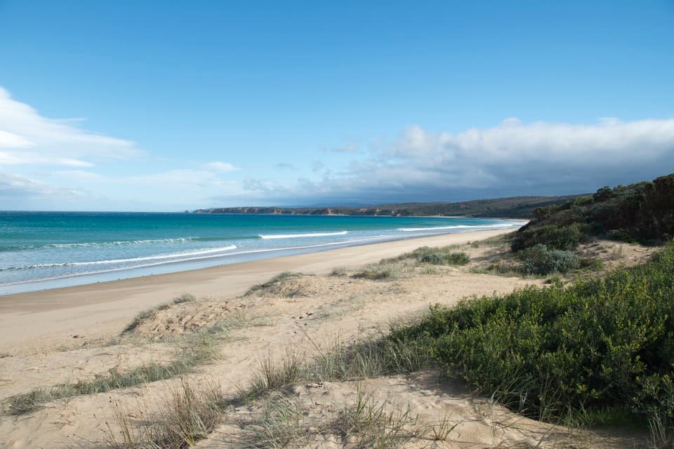 ModerateBeach Combing Walk (Point Roadknight to Urquhart Bluff)4.5 km · 1.3 hr · 2.1 km awayWalk the beach at low tide with Split Point Lighthouse in view.
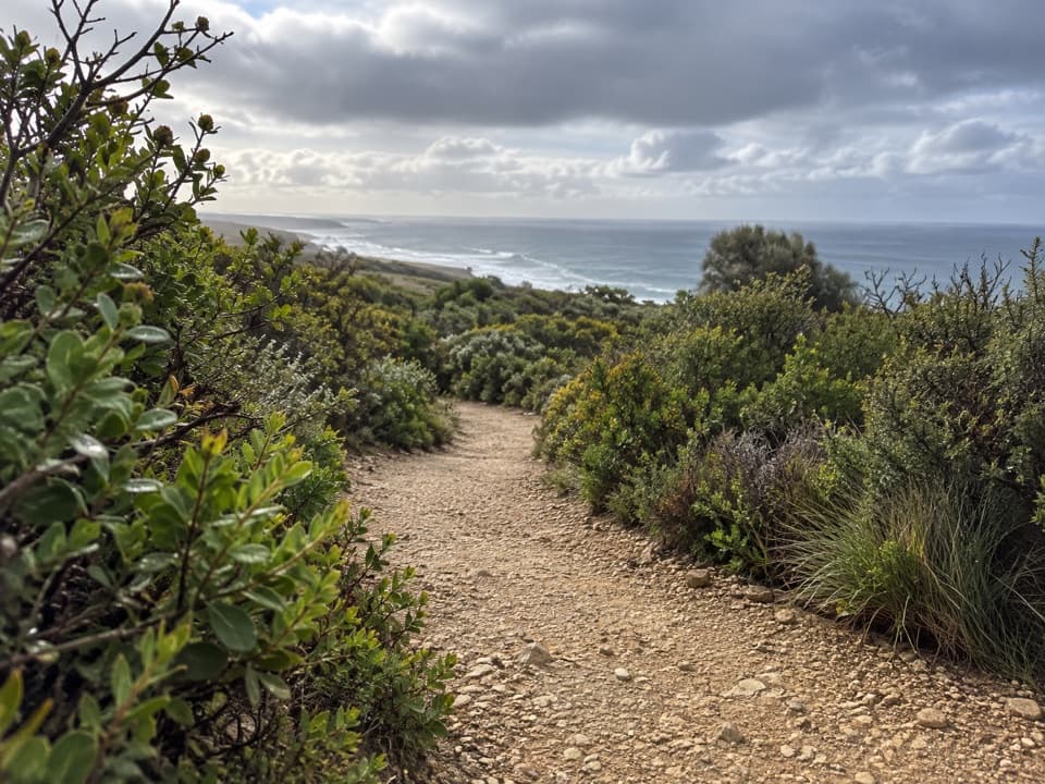 EasyRed Rocks Lookout Walk1.3 km · 30 min · 3.5 km awayA short coastal path to Red Rocks views and beach access.
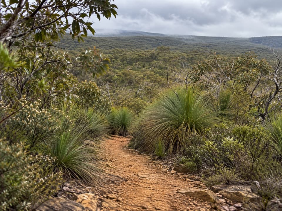 ModerateYan Wirring Mirr Loop4.5 km · 2.3 hr · 4.6 km awayA 4.5 km heath loop with coast, creek and wildflowers.
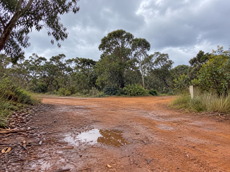 ModerateShiney Eye Circuit7.9 km · 3.5 hr · 5.2 km awayWildflowers, open heath and views over Anglesea.
 ModerateUrquhart Circuit4.5 km · 1.5 hr · 5.7 km awayRock pools and a low-tide scramble on the coast.
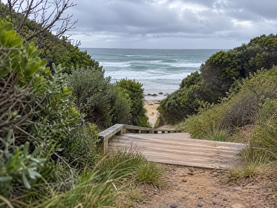 ModerateUrquhart Bluff to Sunnymead Walk3 km · 45 min · 5.7 km awayA short, rough coastal leg to Sunnymead’s secluded cove
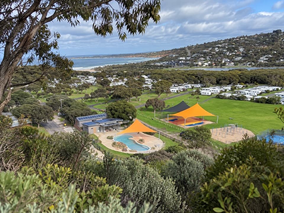 Campground · 0.5 km awayAnglesea Family Caravan ParkCamp beside Anglesea River, with beach and town a short walk away.
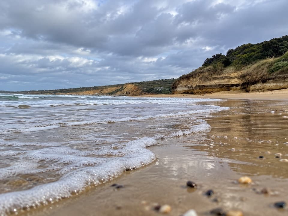 Beach · 0.5 km awayAnglesea Main BeachSand, surf, and the river meeting at Anglesea’s main beach.
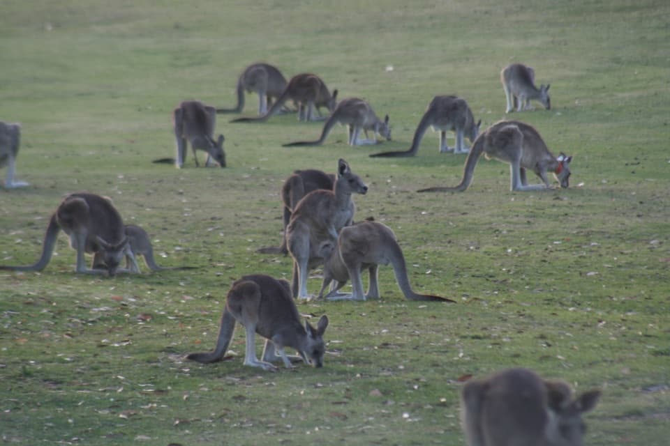 Sight · 1.5 km awayAnglesea Golf Club Kangaroo ToursA guided ride past Anglesea Golf Club’s resident kangaroos.Beach · 2.1 km awayPoint RoadknightA sheltered surf bay with low-tide rock pools.
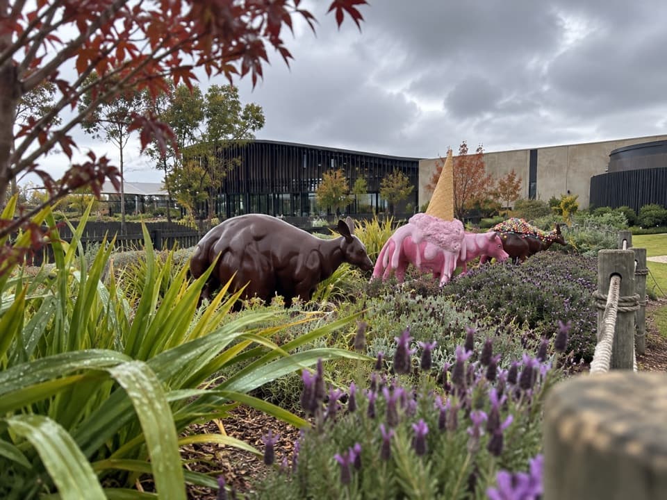 Sight · 4.4 km awayThe Chocolateries Great Ocean RoadA working chocolaterie for free samples, ice cream and lunch.
 Sight · 5.9 km awayPoint Addis LookoutTwo lookouts, broad coastal views, and stairs to the beach below.
 Picnic area · 8.9 km awayDistillery Creek Picnic AreaShady tables and an easy forest loop off the Great Ocean Road.
 Restaurant · 9 km awayA La GrecqueGreek seafood, a big veranda, and a fireplace for cooler days.
Parkwolf’s Great Ocean Road ranking

The audio tour guide for the drive, plus offline maps, trails, and wildlife heatmaps for when the signal drops.




