Anglesea Riverbanks Walk in Great Ocean Road

Great Ocean Road, VIC

Anglesea Riverbanks Walk

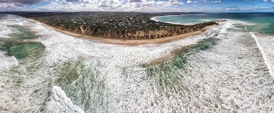
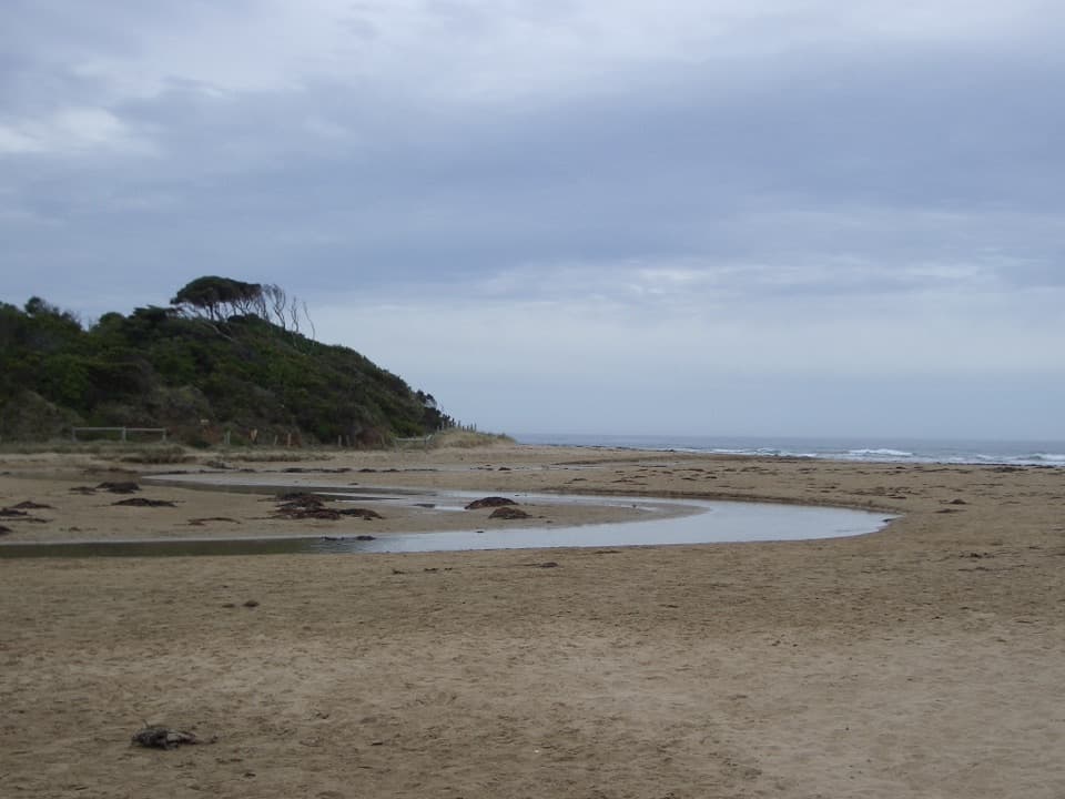
A flat river path from Anglesea’s river mouth into town.

Photo: Wikimedia Commons
Length
1.4km
Time
20min
Elevation
Flat
Difficulty
Easy
  • Dogs allowed
  • High point 5 m

Hear the audio tour

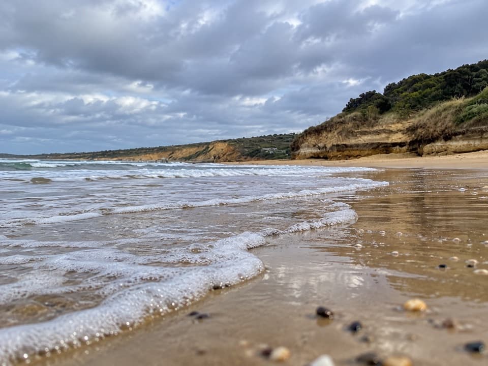
Anglesea Main Beach and River Mouth

Overview

About Anglesea Riverbanks Walk

Why go

  • Flat path with no steps
  • Paddleboat hire, toilets and picnic stops beside the river

Heads up

  • Point-to-point route, so returning to your start doubles the walking

Map & elevation

The route

Loading the Great Ocean Road map
Full map
Elevation0–5 m
TrailheadAnglesea River mouth at Anglesea Beachfront Family Caravan Park-38.41269, 144.19258
Keep this map with you offline in the Parkwolf app

Plan your hike

Before you go

Parking

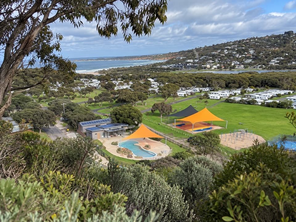
Several off-street parking locations beside the Great Ocean Road connect to the riverbank path. The named section starts at Anglesea River mouth beside the beachfront caravan park and ends at the Visitor Information Centre; plan to walk it back if you park at the start.

Safety

The route crosses the Great Ocean Road; use the pedestrian crossings because traffic has priority. Keep dogs leashed on the route and out of marked playgrounds.

7 active Great Ocean Road alerts

  • ClosureLorne-area walking trails closed after flood and storm damageSeveral walking trails near Lorne remain closed; do not enter closed tracks. - Phantom Falls Walk is temporarily closed because flood and storm damage affected the trail and structures.Official details
  • ClosureWye Road closed after storm and flood damageWye Road is closed until further notice for road maintenance and repairs following storm and flood damage; do not use the road. Check current Great Otway National Park conditions before travelling.Official details
See all 7 alerts
A park ranger sits on a dash-mounted phone, talking, as Parkwolf’s Tour Guide plays “Army Cutworm Moths: A Grizzly Bear Buffet” on Grand Loop Road below Dunraven Pass in Yellowstone
Parkwolf Tour GuideThe highest, rockiest slopes around here are a summer buffet for grizzly bears.

Great Ocean Road Tour Guide

Your drive to Anglesea Riverbanks Walk, narrated.

Parkwolf is a GPS audio tour guide for Great Ocean Road. As you drive, it chimes in with what’s ahead: hidden gems, upcoming stops, history, geology, and wildlife, right through your car’s speakers.

See the Great Ocean Road audio tour

Recorded for this trailhead

Anglesea Main Beach and River Mouth
0:00 / 0:28
“Anglesea Main Beach is coming up, where the river mouth meets a broad curve of sand beneath low orange cliffs.”

Plays as you drive up to this trailhead in the Parkwolf Great Ocean Road Tour Guide.

More stories near here in the app

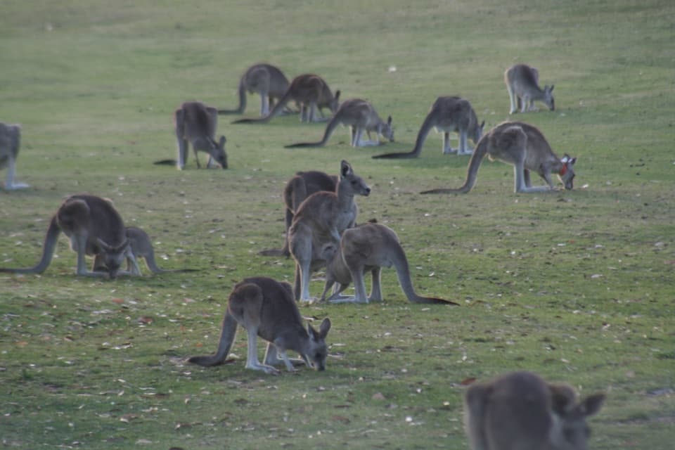
  • Anglesea Golf Club Kangaroo Tours
  • Point Roadknight
  • The Holes in an Abalone Shell
  • A Kangaroo's Fifth Foot
  • 181 audio storiesacross Great Ocean Road’s roads, triggered by GPS as you drive
  • Wildlife heatmapsfor Koala, Kangaroo, Little Penguin, and 13 more
  • Works offlinemaps, 109 trails, 99 places, and audio download before you lose signal
  • CarPlay readysimple controls built for the drive
★★★★★
“Fantastic app with many points of information… It’s great to just turn on while you’re driving and it gives you an audio tour of the national Park. We love it!!!!”
JMJamesApp Store review
Download Parkwolf on the App StoreGet Parkwolf on Google Play

4.7 from 8,600+ ratings

Trail guide

Hiking Anglesea Riverbanks Walk

A short riverside linkAnglesea Riverbanks Walk is section 7 of the Surf Coast Walk, a 1.39 km (0.

Anglesea Riverbanks Walk is section 7 of the Surf Coast Walk, a 1.39 km (0.86 mi) one-way route from the Anglesea River mouth beside Anglesea Beachfront Family Caravan Park to the Anglesea Visitor Information Centre. It follows the town’s riverbanks past Lions Park and the paddleboats. It is very easy, with flat paths and no steps; allow about 20 minutes on foot. It’s a gentle way to get beside the river, but the mapped section is not a loop.

Useful stops on the wayLions Park, paddleboat and canoe hire, and the Visitor Information Centre are the main stops.

Lions Park, paddleboat and canoe hire, and the Visitor Information Centre are the main stops. Toilets are marked by the paddleboat hire and at the Visitor Information Centre. The route information also lists drinking water, seating, picnic and barbecue facilities, and public art. Cafés and dining options are handy at the town end, not along the river path itself.

Start, finish and returnThe mapped section starts at the river mouth next to the beachfront caravan park and ends at…

The mapped section starts at the river mouth next to the beachfront caravan park and ends at the Visitor Information Centre. Several off-street parking locations beside the Great Ocean Road connect to the riverbank path. If you leave your car at one end, walking back the same way makes it about 2.8 km and 40 minutes, before stops. Dogs can use the town paths on leash; keep them on the marked route and out of playgrounds.

Wildlife

Wildlife in Great Ocean Road

All Great Ocean Road wildlife maps

Sighting maps show where each species has been reported across Great Ocean Road. Wildlife moves, so no sighting is guaranteed.

Keep exploring

Near Anglesea Riverbanks Walk

See it all on the map

Trails that start nearby

Places near the trailhead

Parkwolf’s Great Ocean Road ranking

Top-rated trails in Great Ocean Road

All 109 trails
  1. 1Great Ocean WalkChallenging · 100 km
  2. 2Maits Rest Rainforest WalkEasy · 0.8 km
  3. 3Triplet Falls WalkModerate · 2 km
  4. 4Hopetoun Falls WalkModerate · 0.8 km
  5. 5Erskine Falls WalkModerate · 0.7 km
  6. 6Surf Coast WalkChallenging · 41.5 km

Take Parkwolf to Great Ocean Road.

The audio tour guide for the drive, plus offline maps, trails, and wildlife heatmaps for when the signal drops.

4.7 from 8,600+ ratings

Download Parkwolf on the App StoreGet Parkwolf on Google Play