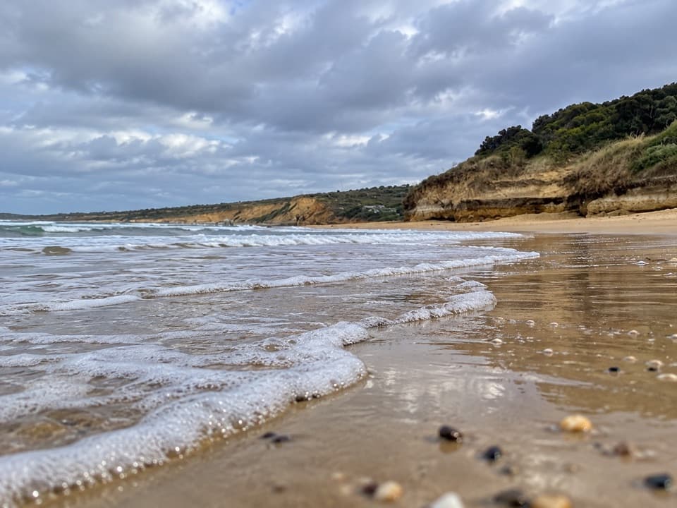
Overview
About Anglesea Main Beach
Why stop
- The river mouth gives the broad sandy beach a distinctive shape.
Heads up
- Rips, tide and wind can make conditions rough.
Map
Where it is
Loading the Great Ocean Road map
Full mapPlan your stop
Before you go
7 active Great Ocean Road alerts
- ClosureLorne-area walking trails closed after flood and storm damageSeveral walking trails near Lorne remain closed; do not enter closed tracks. - Phantom Falls Walk is temporarily closed because flood and storm damage affected the trail and structures.Official details
- ClosureWye Road closed after storm and flood damageWye Road is closed until further notice for road maintenance and repairs following storm and flood damage; do not use the road. Check current Great Otway National Park conditions before travelling.Official details

The highest, rockiest slopes around here are a summer buffet for grizzly bears.
Great Ocean Road Tour Guide
Your drive to Anglesea Main Beach, narrated.
Parkwolf is a GPS audio tour guide for Great Ocean Road. As you drive, it chimes in with what’s ahead: hidden gems, upcoming stops, history, geology, and wildlife, right through your car’s speakers.
See the Great Ocean Road audio tourRecorded for this place
Anglesea Main Beach and River Mouth0:00 / 0:28
“Anglesea Main Beach is coming up, where the river mouth meets a broad curve of sand beneath low orange cliffs.”
Plays as you drive up to Anglesea Main Beach in the Parkwolf Great Ocean Road Tour Guide.
More stories near here in the app
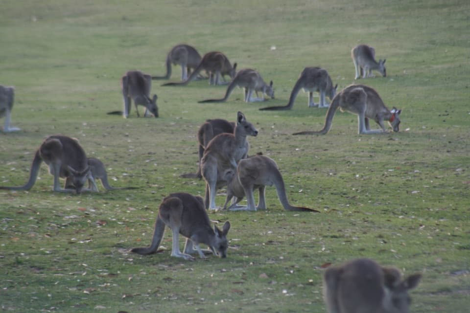
- Anglesea Golf Club Kangaroo Tours
- Point Roadknight
- The Holes in an Abalone Shell
- A Kangaroo's Fifth Foot
- 181 audio storiesacross Great Ocean Road’s roads, triggered by GPS as you drive
- Wildlife heatmapsfor Koala, Kangaroo, Little Penguin, and 13 more
- Works offlinemaps, 109 trails, 99 places, and audio download before you lose signal
- CarPlay readysimple controls built for the drive
“Fantastic app with many points of information… It’s great to just turn on while you’re driving and it gives you an audio tour of the national Park. We love it!!!!”


Guide
More about Anglesea Main Beach
A main beach by the river mouthAnglesea Main Beach is a roughly 400 m sandy beach on the town’s foreshore, where the Anglesea…
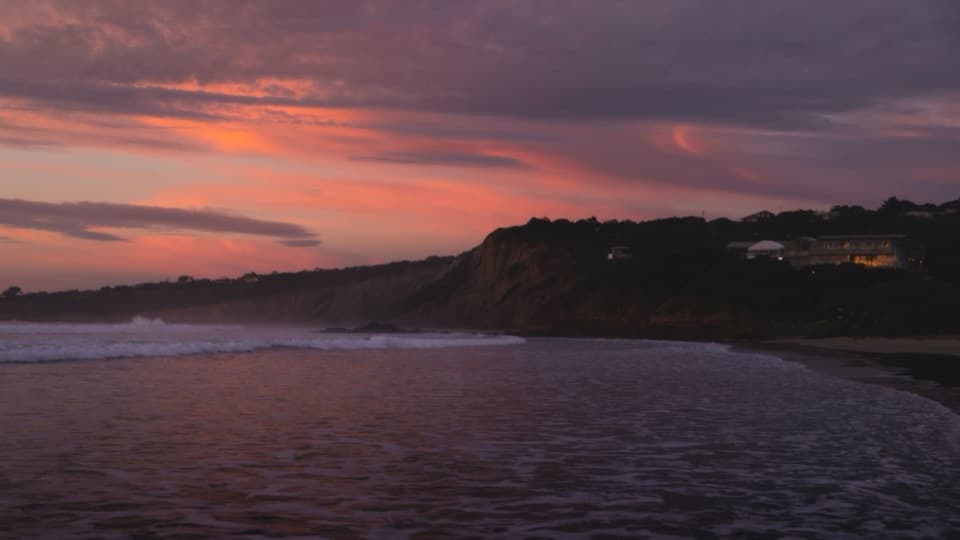
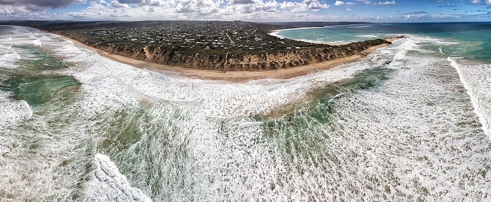
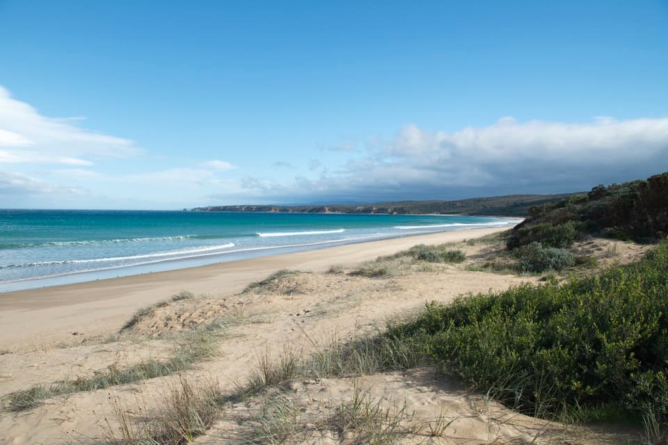
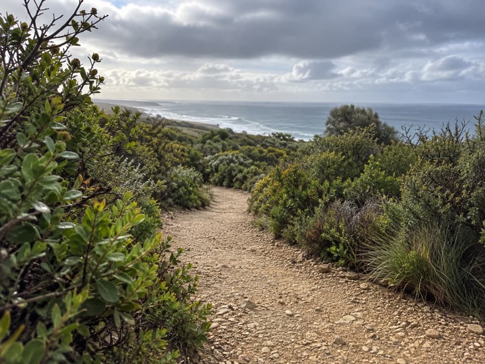
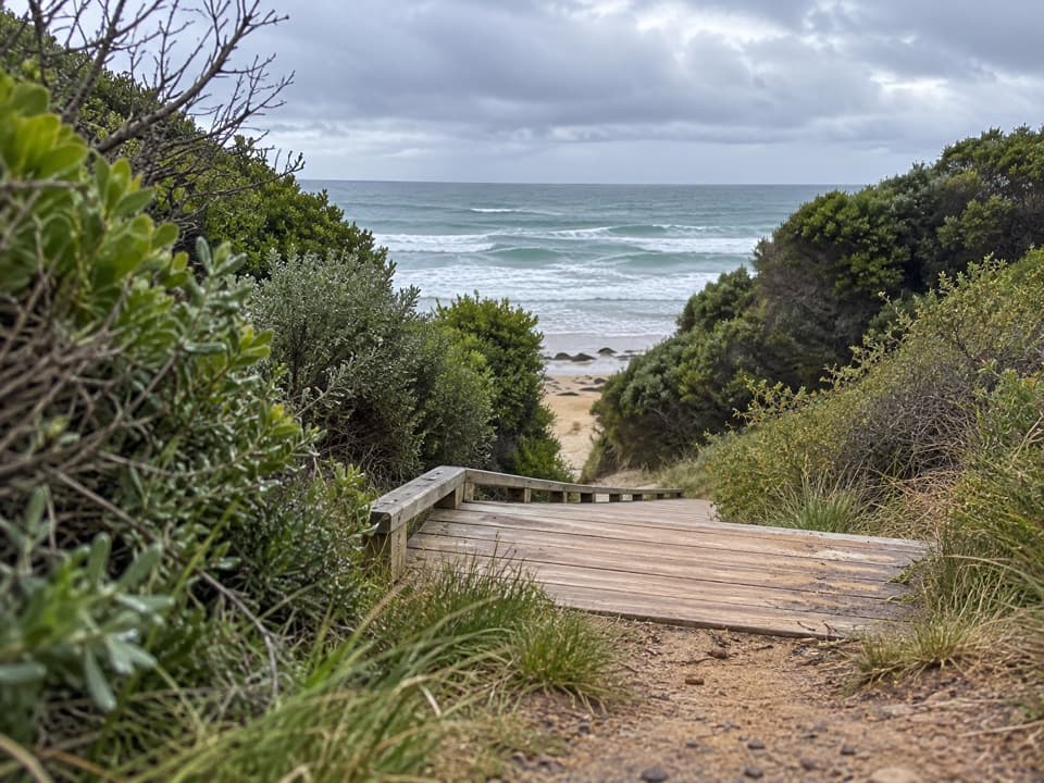
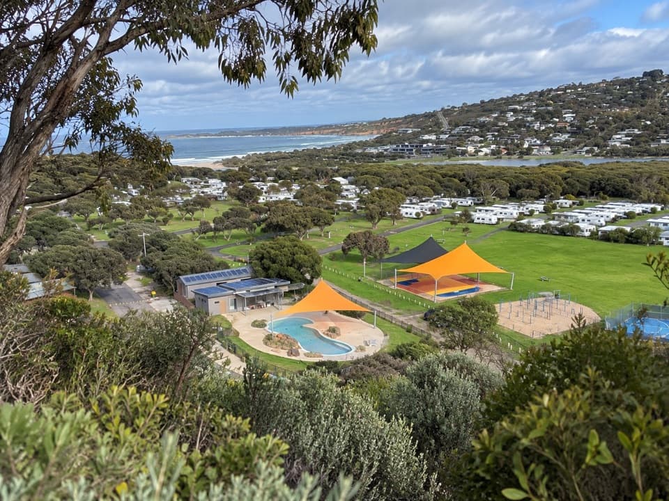
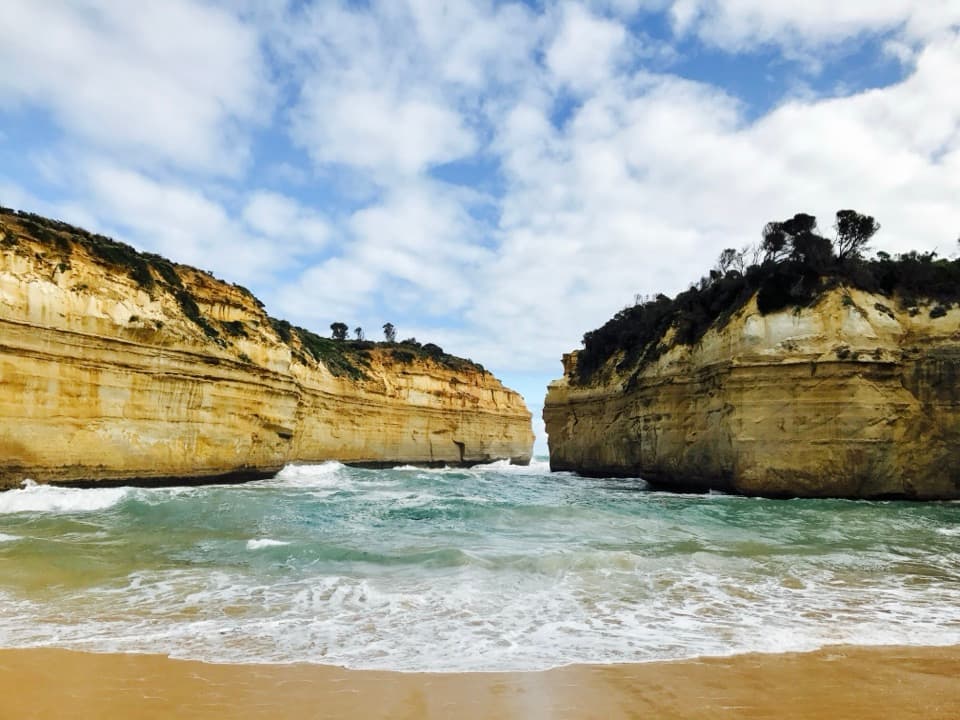
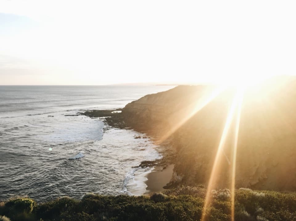
Anglesea Main Beach is a roughly 400 m sandy beach on the town’s foreshore, where the Anglesea River meets the sea. Its broad, south-to-south-east-facing curve suits a swim, surf lesson or walk, with the river mouth and low orange cliffs giving the shore more shape than a straight beach stop. Keep it for a beach break close to town. The gentler slope used for lessons does not make every part calm.
Check the waterRips, tide range and wind can change the surf, even though lessons use a shallow, gently…
Rips, tide range and wind can change the surf, even though lessons use a shallow, gently sloping section for beginners. The beach is usually patrolled during peak season; swim between the flags when patrols are operating and follow the current beach advice.
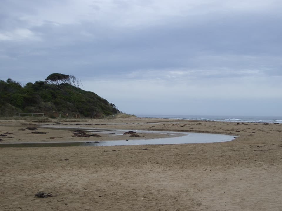
Follow the river mouthThe Anglesea River channel reaches the sea beside the sand, and the shoreline bends around it…
The Anglesea River channel reaches the sea beside the sand, and the shoreline bends around it rather than running in a straight line. Walk far enough to take in that meeting of river and surf. For photos, get low across the wet sand so the channel and waves share the frame.
Wildlife
Wildlife in Great Ocean Road
 900 sightingsKoalaMost seen around 5 PMSighting map
 358 sightingsKangarooMost seen around 6 PMSighting map
 49 sightingsLittle PenguinMost seen around 8 PMSighting map
 155 sightingsEchidnaMost seen around 6 PMSighting map
 33 sightingsFur SealMost seen around 6 PMSighting map
 59 sightingsRed-necked WallabyMost seen around 6 AMSighting map
Sighting maps show where each species has been reported across Great Ocean Road. Wildlife moves, so no sighting is guaranteed.