Parking
Park along Spence Avenue at the road end, then enter through the fence break marked for Ted’s Ridge Track. Parking capacity is not established; toilets and drinking water were not found for this access.
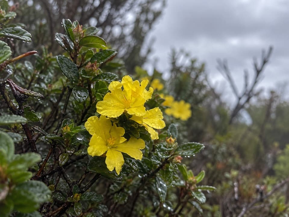
Great Ocean Road, VIC
A short heath walk for grass trees, orchids and spring flowers.
Overview
Map & elevation
Plan your hike

The highest, rockiest slopes around here are a summer buffet for grizzly bears.
Great Ocean Road Tour Guide
Parkwolf is a GPS audio tour guide for Great Ocean Road. As you drive, it chimes in with what’s ahead: hidden gems, upcoming stops, history, geology, and wildlife, right through your car’s speakers.
See the Great Ocean Road audio tourRecorded for this area
The Godfrey's Fatal Salvage“Everyone aboard the W. B. Godfrey survived when the ship wrecked near Wye River in March eighteen ninety-one. It had been carrying timber from San Francisco to Melbourne.”
Plays on the road 0.7 km from the trailhead in the Parkwolf Great Ocean Road Tour Guide.
More stories near here in the app
“Fantastic app with many points of information… It’s great to just turn on while you’re driving and it gives you an audio tour of the national Park. We love it!!!!”


Trail guide
Ted’s Ridge Track is an easy, signed out-and-back from the end of Spence Avenue to a junction with Snakey Gully Track. The published distance is 1.6 km (about 1 mile) return, usually around 45 minutes plus time to stop for flowers. The mapped tread is about 0.6 km from the road end to the junction, so its traced return is shorter than the published figure; allow for the longer distance. Enter at the fence break beside the track sign and plaque, follow the winding path to Snakey Gully Track, then return the same way. This is a short nature walk for the heath, not a coastal lookout.
Austral grass-trees rise above the low flowering plants. The track passes pea flowers, Running Postman, guinea-flowers, Woolly Pimelea, Honey-pots and ground orchids. Spring is when the heath is described as most colorful. Among its orchids is the endemic Unicorn Bearded Greenhood, one reason to take this walk slowly and look along the track edges.
A plaque at the entrance remembers local walker Ted Faggetter (1909–2001), who helped establish the volunteer group that cared for this stretch of park. Messmate trees grow over the track; regular fuel-reduction burns leave their stringy-bark trunks dark against the low understorey. Some grass-trees show Cinnamon fungus dieback.
Wildlife
 900 sightingsKoalaMost seen around 5 PMSighting map
 358 sightingsKangarooMost seen around 6 PMSighting map
 49 sightingsLittle PenguinMost seen around 8 PMSighting map
 155 sightingsEchidnaMost seen around 6 PMSighting map
 33 sightingsFur SealMost seen around 6 PMSighting map
 59 sightingsRed-necked WallabyMost seen around 6 AMSighting map
Sighting maps show where each species has been reported across Great Ocean Road. Wildlife moves, so no sighting is guaranteed.
Keep exploring
 ModerateDistillery Creek–Ted’s Ridge Track Circuit4 km · 1.5 hr · 1 km awayClimb to Ted’s Ridge for coastal views on a short woodland loop.
 EasyAireys Clifftops Walk2.7 km · 54 min · 1.2 km awayAn easy clifftop walk from Sunnymead Beach to Split Point Lighthouse.
 EasyDistillery Creek Ephemeral Wetlands Walk0.3 km · 15 min · 1.5 km awayA short boardwalk ends at a wetland that comes and goes.
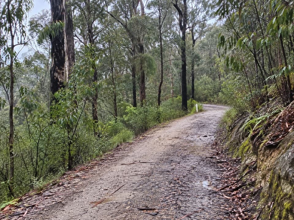 EasyAireys Inlet Woodland Circuit4.5 km · 1.5 hr · 1.5 km awayIronbark woodland shifts to a leafy creekside track.
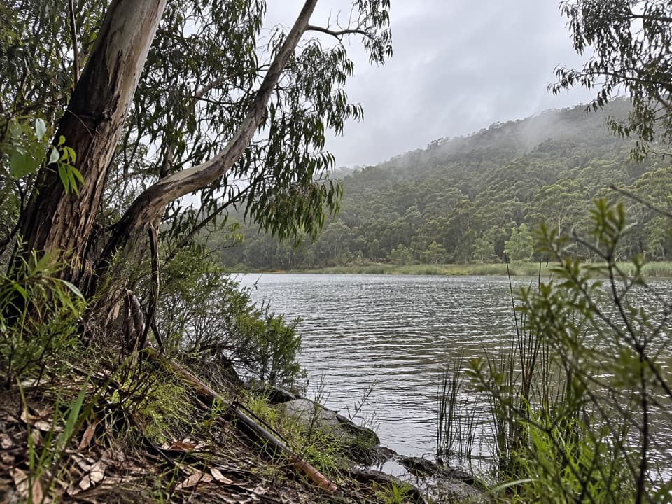 ModerateDistillery Creek to Moggs Creek Walk7.5 km · 2.5 hr · 1.5 km awayForest tracks and Painkalac Dam, with a car shuttle to Moggs Creek.
 ModerateIronbark Gorge Track4.5 km · 1.5 hr · 1.6 km awayA gorge loop with rocky views, creek bridges and ferns.
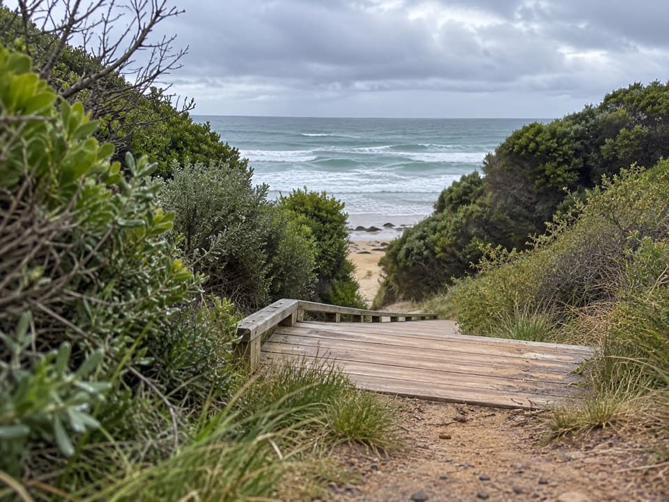 ModerateUrquhart Bluff to Sunnymead Walk3 km · 45 min · 1.8 km awayA short, rough coastal leg to Sunnymead’s secluded cove
 ModerateUrquhart Circuit4.5 km · 1.5 hr · 1.8 km awayRock pools and a low-tide scramble on the coast.
 Picnic area · 1.5 km awayDistillery Creek Picnic AreaShady tables and an easy forest loop off the Great Ocean Road.
 Restaurant · 2.3 km awayA La GrecqueGreek seafood, a big veranda, and a fireplace for cooler days.
 Sight · 2.9 km awayBark Hut ReserveA bark hut connects Aireys Inlet to its early settler story.
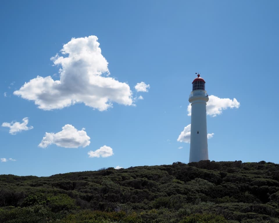 Sight · 3 km awaySplit Point LighthouseA working lighthouse climb with sweeping views over Bass Strait.
 Picnic area · 4.8 km awayMoggs Creek Picnic AreaPicnic in eucalypt forest, then walk out to a coastal lookout.
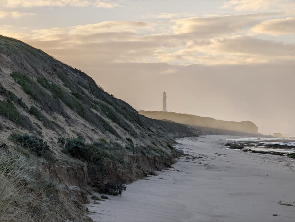 Beach · 5.2 km awayFairhaven BeachSix kilometres of open sand for a long coastal walk.
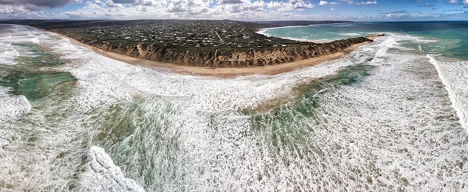 Beach · 6 km awayPoint RoadknightA sheltered surf bay with low-tide rock pools.
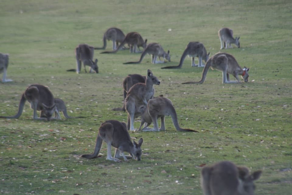 Sight · 6.5 km awayAnglesea Golf Club Kangaroo ToursA guided ride past Anglesea Golf Club’s resident kangaroos.
Parkwolf’s Great Ocean Road ranking

The audio tour guide for the drive, plus offline maps, trails, and wildlife heatmaps for when the signal drops.





