Parking
Start at Sunnymead carpark. The 2.74 km section finishes at Split Point Lighthouse, so arrange a pickup or return on foot.

Great Ocean Road, VIC
An easy clifftop walk from Sunnymead Beach to Split Point Lighthouse.
Overview
Map & elevation
Plan your hike

The highest, rockiest slopes around here are a summer buffet for grizzly bears.
Great Ocean Road Tour Guide
Parkwolf is a GPS audio tour guide for Great Ocean Road. As you drive, it chimes in with what’s ahead: hidden gems, upcoming stops, history, geology, and wildlife, right through your car’s speakers.
See the Great Ocean Road audio tourRecorded for this area
The Godfrey's Fatal Salvage“Everyone aboard the W. B. Godfrey survived when the ship wrecked near Wye River in March eighteen ninety-one. It had been carrying timber from San Francisco to Melbourne.”
Plays on the road 0.5 km from the trailhead in the Parkwolf Great Ocean Road Tour Guide.
More stories near here in the app
“Fantastic app with many points of information… It’s great to just turn on while you’re driving and it gives you an audio tour of the national Park. We love it!!!!”


Trail guide
Aireys Clifftops Walk is the 2.74 km section of the Surf Coast Walk from Sunnymead carpark to Split Point Lighthouse. Allow about 45 to 60 minutes if you stop at the lookouts; walking straight through takes about 41 minutes. It is an easy, narrow, well-formed track with gentle hills. This is a point-to-point walk, not a loop, so walking back to Sunnymead turns it into roughly 5.5 km.
From Sunnymead, the track reaches Eagle Nest Reef Lookout and Fitzpatrick Seat, then crosses the Sandy Gully carpark. It continues past Lands End Lookout, Smelly Beach, Horseshoe Rock and Step Beach, with stretches through low scrub and the edge of town before the final walk along Federal Street to the lighthouse. The steps down to Step Beach are a side trip; they are not part of the mapped through-route. Watch for vehicles where the path crosses the Sandy Gully carpark and along Federal Street.
Split Point Lighthouse has guided ships along this coast since 1891. The orange rock stack of Eagle Rock rises from darker basalt below the cliff tops, a striking contrast at the reef lookouts. The lighthouse is the finish for this section; visiting inside is a separate stop.
Rufous Bristlebirds call from the low coastal scrub, and small marsupials may be hidden there too. Winter can be cold and windy along the coast. Dogs are allowed on most sections of the Surf Coast Walk but must be on leash; check signs for any local beach restrictions.
Wildlife
 900 sightingsKoalaMost seen around 5 PMSighting map
 358 sightingsKangarooMost seen around 6 PMSighting map
 49 sightingsLittle PenguinMost seen around 8 PMSighting map
 155 sightingsEchidnaMost seen around 6 PMSighting map
 33 sightingsFur SealMost seen around 6 PMSighting map
 59 sightingsRed-necked WallabyMost seen around 6 AMSighting map
Sighting maps show where each species has been reported across Great Ocean Road. Wildlife moves, so no sighting is guaranteed.
Keep exploring
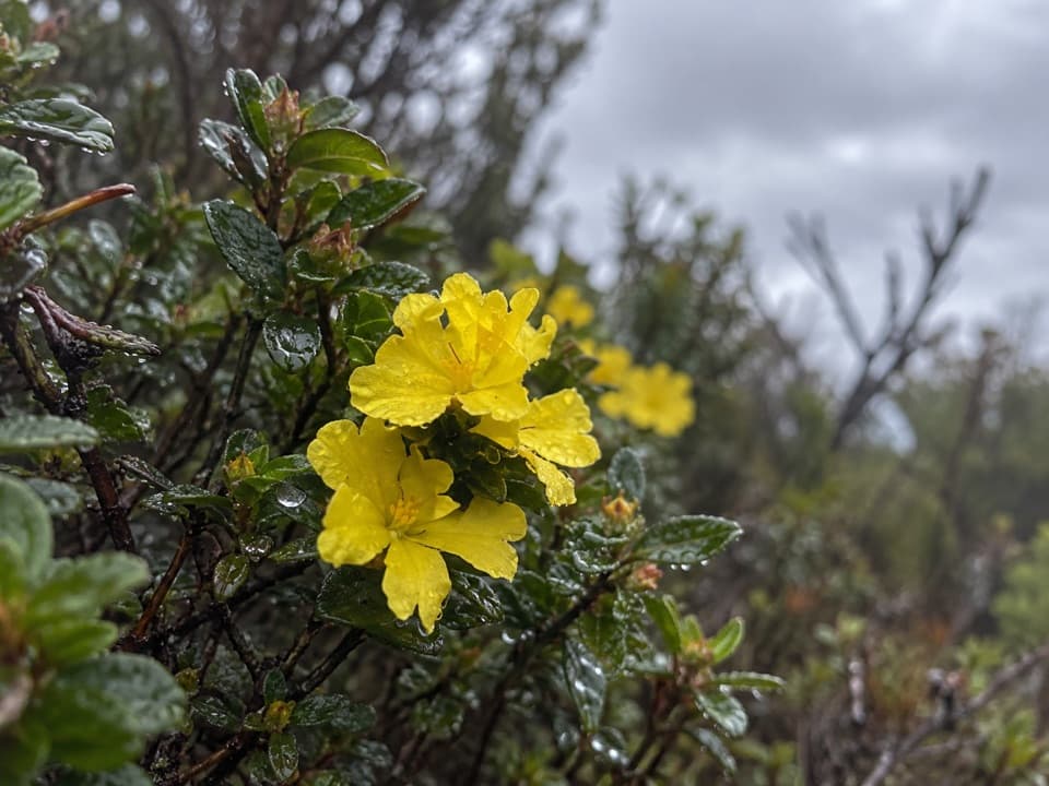 EasyTed’s Ridge Track1.6 km · 45 min · 1.2 km awayA short heath walk for grass trees, orchids and spring flowers.
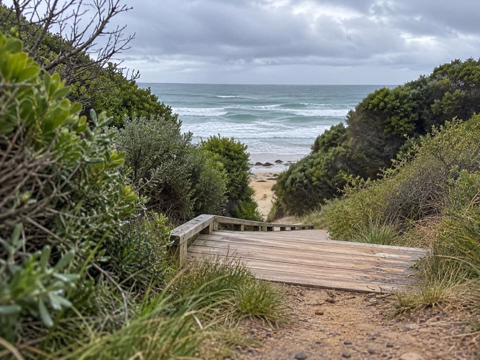 ModerateUrquhart Bluff to Sunnymead Walk3 km · 45 min · 1.9 km awayA short, rough coastal leg to Sunnymead’s secluded cove
 ModerateUrquhart Circuit4.5 km · 1.5 hr · 1.9 km awayRock pools and a low-tide scramble on the coast.
 ModerateDistillery Creek–Ted’s Ridge Track Circuit4 km · 1.5 hr · 2 km awayClimb to Ted’s Ridge for coastal views on a short woodland loop.
 EasyDistillery Creek Ephemeral Wetlands Walk0.3 km · 15 min · 2.1 km awayA short boardwalk ends at a wetland that comes and goes.
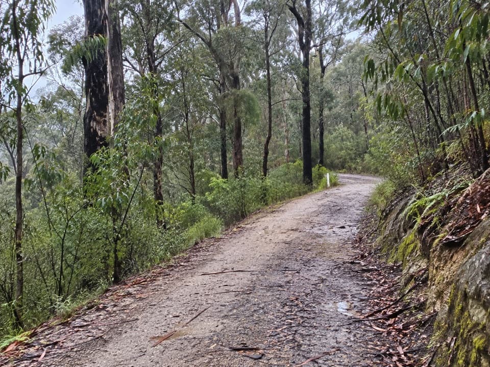 EasyAireys Inlet Woodland Circuit4.5 km · 1.5 hr · 2.2 km awayIronbark woodland shifts to a leafy creekside track.
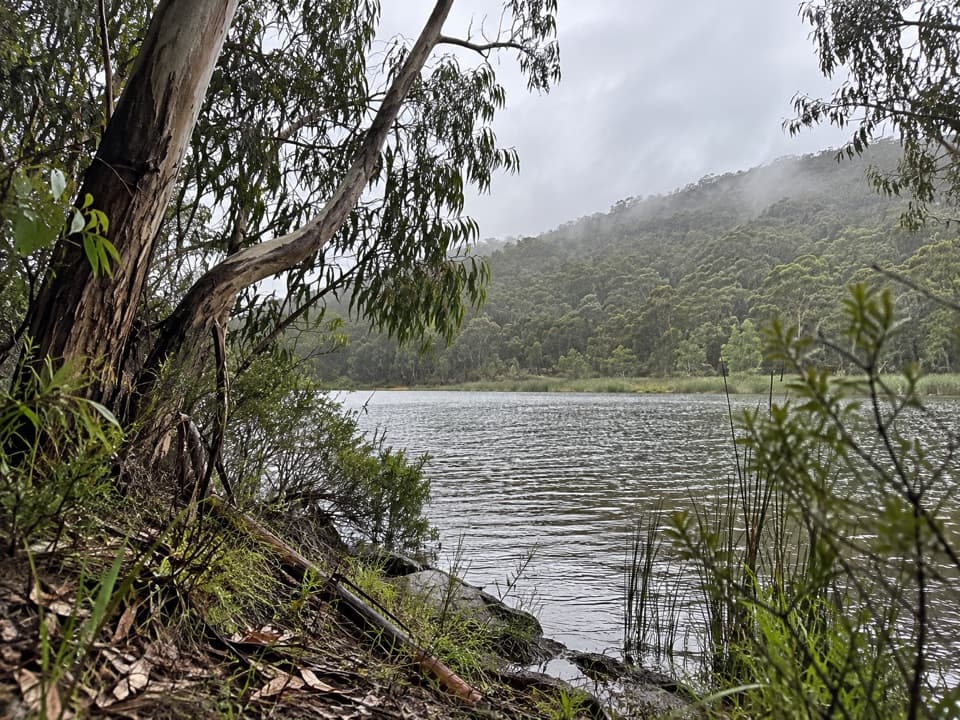 ModerateDistillery Creek to Moggs Creek Walk7.5 km · 2.5 hr · 2.2 km awayForest tracks and Painkalac Dam, with a car shuttle to Moggs Creek.EasyLighthouse Discovery Walk2.1 km · 45 min · 2.3 km awayEasy coastal lookouts from Split Point to Fairhaven
 Restaurant · 1.6 km awayA La GrecqueGreek seafood, a big veranda, and a fireplace for cooler days.
 Picnic area · 2.2 km awayDistillery Creek Picnic AreaShady tables and an easy forest loop off the Great Ocean Road.
 Sight · 2.3 km awayBark Hut ReserveA bark hut connects Aireys Inlet to its early settler story.
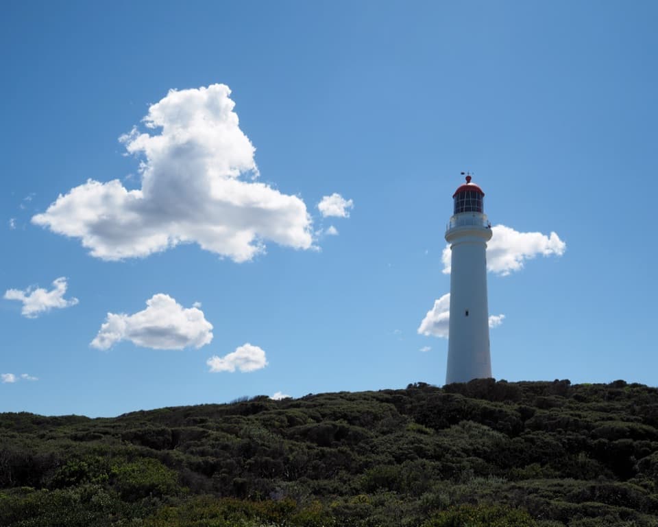 Sight · 2.3 km awaySplit Point LighthouseA working lighthouse climb with sweeping views over Bass Strait.
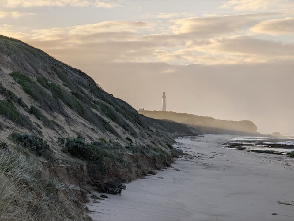 Beach · 5.1 km awayFairhaven BeachSix kilometres of open sand for a long coastal walk.
 Picnic area · 5.1 km awayMoggs Creek Picnic AreaPicnic in eucalypt forest, then walk out to a coastal lookout.
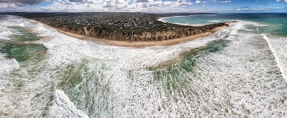 Beach · 5.8 km awayPoint RoadknightA sheltered surf bay with low-tide rock pools.
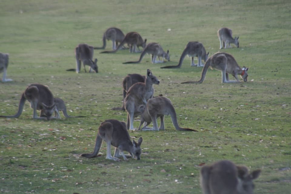 Sight · 6.7 km awayAnglesea Golf Club Kangaroo ToursA guided ride past Anglesea Golf Club’s resident kangaroos.
Parkwolf’s Great Ocean Road ranking

The audio tour guide for the drive, plus offline maps, trails, and wildlife heatmaps for when the signal drops.





