Parking
Start at the lower Urquhart Bluff Beach Car Park by the shoreline; a toilet block is beside the access. Lot capacity, fees and overflow arrangements were not established.

Great Ocean Road, VIC
Rock pools and a low-tide scramble on the coast.
Overview
Map & elevation
Plan your hike

The highest, rockiest slopes around here are a summer buffet for grizzly bears.
Great Ocean Road Tour Guide
Parkwolf is a GPS audio tour guide for Great Ocean Road. As you drive, it chimes in with what’s ahead: hidden gems, upcoming stops, history, geology, and wildlife, right through your car’s speakers.
See the Great Ocean Road audio tourRecorded for this trailhead
Urquhart Bluff Circuit“Up ahead is the turnoff for Urquhart Bluff, where the circuit walk links rock pools and coastal heath. The four-and-a-half-kilometre loop starts at the lower beach car park and takes about ninety minutes.”
Plays as you drive up to this trailhead in the Parkwolf Great Ocean Road Tour Guide.
More stories near here in the app
“Fantastic app with many points of information… It’s great to just turn on while you’re driving and it gives you an audio tour of the national Park. We love it!!!!”


Trail guide
Urquhart Circuit is a 4.5 km (2.8 mi) loop from the lower Urquhart Bluff Beach Car Park. It follows the shore west past Mermaid Pool and the rock shelves to Sunnymead, then returns through the dunes and coastal heath on the inland track. Allow about 1.5 hours. It is easy to moderate overall, but the rocky beach passage needs careful footing. Plan the shore section for low tide.
An inland approach beside the toilet block avoids the first passage around the bluff if water blocks it; the farther rock shelves and Sunnymead descent still need safe conditions.
Walk about 100 m from the car park toward Urquhart Bluff on the beach. The route passes Mermaid Pool, then crosses a rock platform that can be slippery and an informal shelf beneath the cliffs. A rock bridge and pillar mark the way around to Sunnymead Beach; there is ocean below one side, and the descent around the pillar can be slick after rain. Keep well back from the water’s edge.
From Sunnymead, continue about 350 m along the beach to the signed track on the right. A boardwalk crosses the dunes beneath Moonah and ironbark trees, then steps climb through coastal heath. Turn right before the private-property boundary. Near the Great Ocean Road, the trees open to occasional ocean glimpses; a seat around 4 km into the loop looks through sheoaks toward Point Roadknight. The track descends from there to the car park.
Look for banksias, tea-tree, Paper Flower and Coastal Beard-heath; orchids are also noted along the inland section. New Holland Honeyeaters, Red Wattlebirds and Pied Currawongs are among the birds heard here.
The lower car park is the start and has a toilet block. No potable water source was verified on the route. Dogs are allowed in the designated Urquhart Bluff and Sunnymead areas, but rules change by section: keep them on lead in the visitor area and at the Sunnymead access. At the western end of Urquhart Bluff Beach, leads are required from 9 am to 7 pm from December through February and at Easter; off-lead access applies at other times on a trial basis. The Sunnymead beach between access 104W and Mermaid Pools rocks is also off-lead on a trial basis. Follow posted signs.
Wildlife
 900 sightingsKoalaMost seen around 5 PMSighting map
 358 sightingsKangarooMost seen around 6 PMSighting map
 49 sightingsLittle PenguinMost seen around 8 PMSighting map
 155 sightingsEchidnaMost seen around 6 PMSighting map
 33 sightingsFur SealMost seen around 6 PMSighting map
 59 sightingsRed-necked WallabyMost seen around 6 AMSighting map
Sighting maps show where each species has been reported across Great Ocean Road. Wildlife moves, so no sighting is guaranteed.
Keep exploring
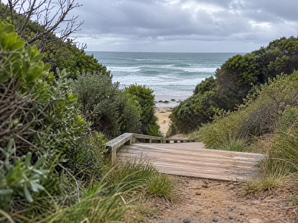 ModerateUrquhart Bluff to Sunnymead Walk3 km · 45 min · At the trailheadA short, rough coastal leg to Sunnymead’s secluded cove
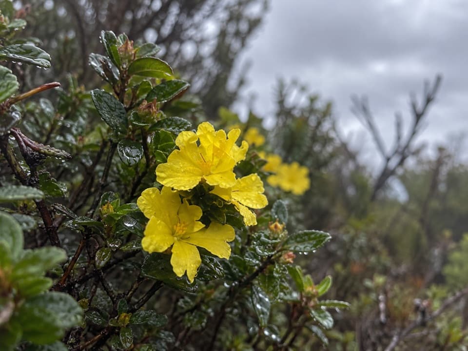 EasyTed’s Ridge Track1.6 km · 45 min · 1.8 km awayA short heath walk for grass trees, orchids and spring flowers.
 EasyAireys Clifftops Walk2.7 km · 54 min · 1.9 km awayAn easy clifftop walk from Sunnymead Beach to Split Point Lighthouse.
 ModerateDistillery Creek–Ted’s Ridge Track Circuit4 km · 1.5 hr · 2.7 km awayClimb to Ted’s Ridge for coastal views on a short woodland loop.
 EasyDistillery Creek Ephemeral Wetlands Walk0.3 km · 15 min · 3.3 km awayA short boardwalk ends at a wetland that comes and goes.
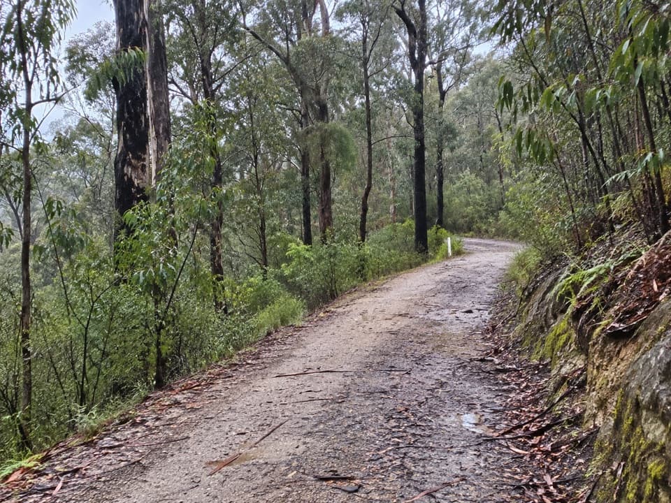 EasyAireys Inlet Woodland Circuit4.5 km · 1.5 hr · 3.3 km awayIronbark woodland shifts to a leafy creekside track.
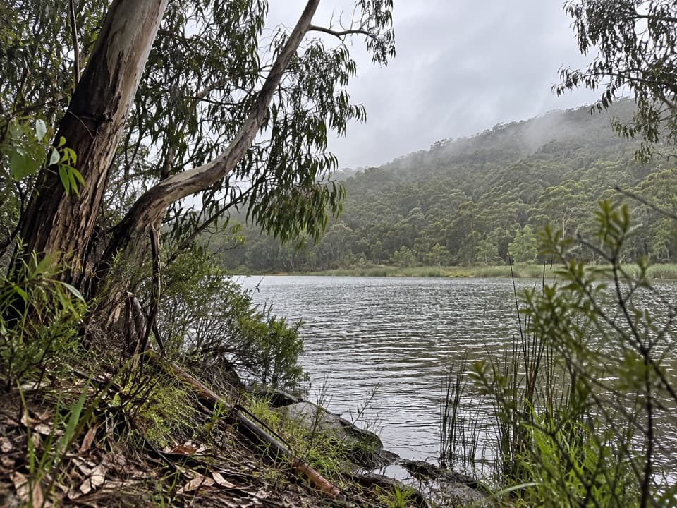 ModerateDistillery Creek to Moggs Creek Walk7.5 km · 2.5 hr · 3.3 km awayForest tracks and Painkalac Dam, with a car shuttle to Moggs Creek.
 ModerateIronbark Gorge Track4.5 km · 1.5 hr · 3.3 km awayA gorge loop with rocky views, creek bridges and ferns.
 Picnic area · 3.3 km awayDistillery Creek Picnic AreaShady tables and an easy forest loop off the Great Ocean Road.
 Restaurant · 3.5 km awayA La GrecqueGreek seafood, a big veranda, and a fireplace for cooler days.
 Sight · 4.2 km awayBark Hut ReserveA bark hut connects Aireys Inlet to its early settler story.
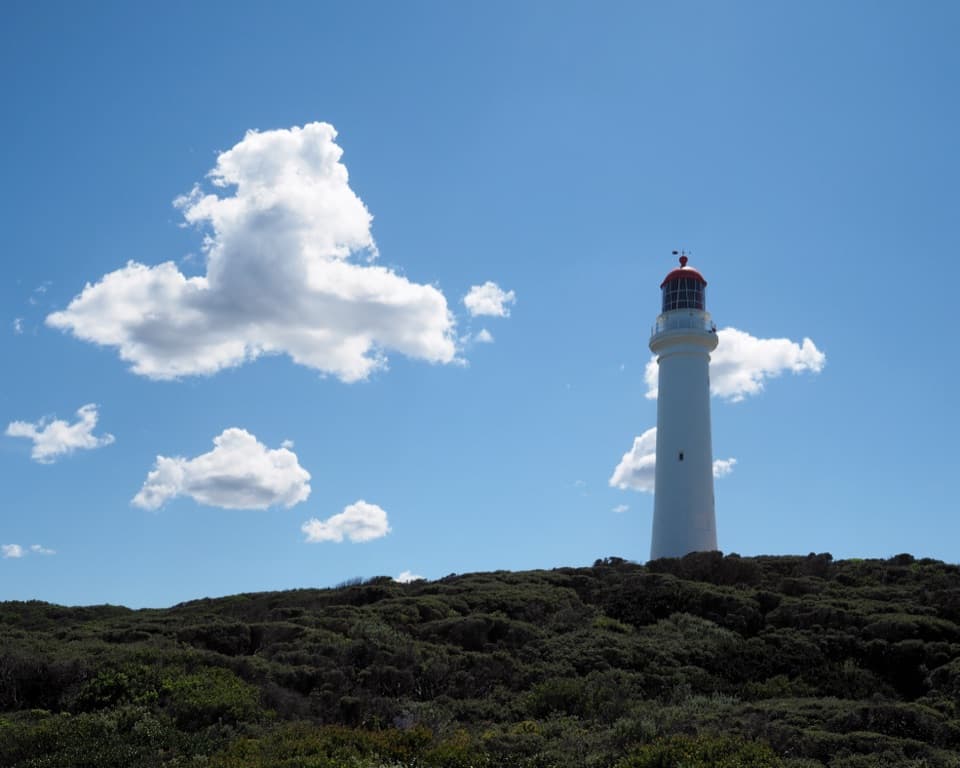 Sight · 4.2 km awaySplit Point LighthouseA working lighthouse climb with sweeping views over Bass Strait.
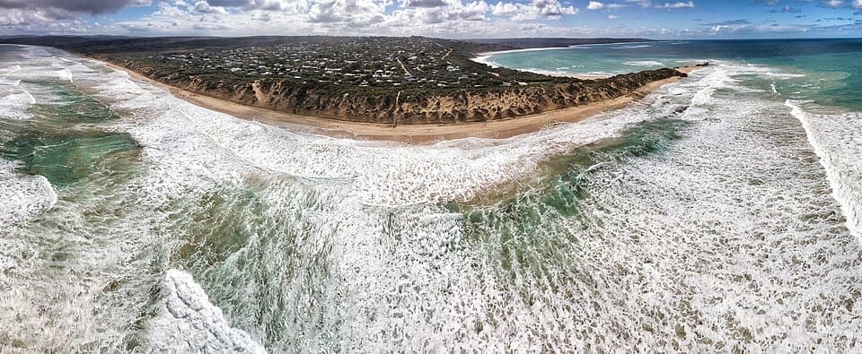 Beach · 4.3 km awayPoint RoadknightA sheltered surf bay with low-tide rock pools.
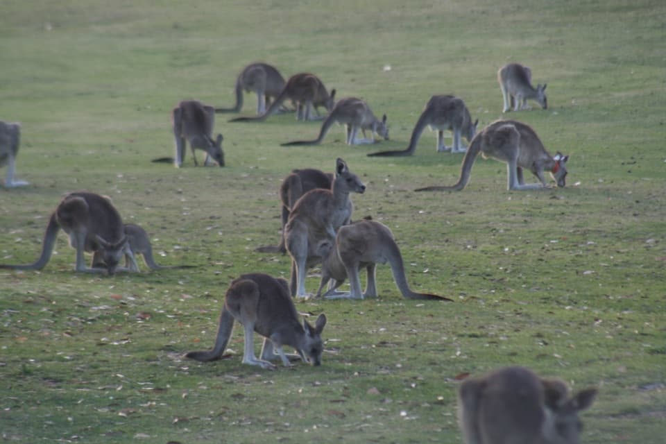 Sight · 4.8 km awayAnglesea Golf Club Kangaroo ToursA guided ride past Anglesea Golf Club’s resident kangaroos.
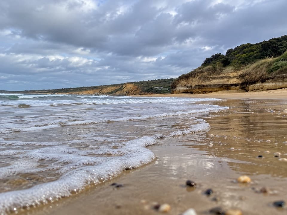 Beach · 5.4 km awayAnglesea Main BeachSand, surf, and the river meeting at Anglesea’s main beach.
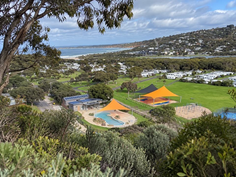 Campground · 6.1 km awayAnglesea Family Caravan ParkCamp beside Anglesea River, with beach and town a short walk away.
Parkwolf’s Great Ocean Road ranking

The audio tour guide for the drive, plus offline maps, trails, and wildlife heatmaps for when the signal drops.





