Distillery Creek Picnic Area in Great Ocean Road

Picnic area · Great Ocean Road

Distillery Creek Picnic Area

Shady tables and an easy forest loop off the Great Ocean Road.

Type
Picnic area
Nearest trail
Right here
Audio stories
6 nearby
  • Trailhead
  • Restrooms
  • Parking
  • Picnic tables

Hear the audio tour

Distillery Creek Picnic Area

Overview

About Distillery Creek Picnic Area

Why stop

  • An easy, signed 1.5 km nature loop.
  • Picnic tables and barbecues in ironbark forest.

Heads up

  • The creek is often dry.

Map

Where it is

Loading the Great Ocean Road map
Full map
Picnic areaDistillery Creek Picnic Area-38.44440, 144.09494
Keep this map with you offline in the Parkwolf app

Plan your stop

Before you go

7 active Great Ocean Road alerts

  • ClosureLorne-area walking trails closed after flood and storm damageSeveral walking trails near Lorne remain closed; do not enter closed tracks. - Phantom Falls Walk is temporarily closed because flood and storm damage affected the trail and structures.Official details
  • ClosureWye Road closed after storm and flood damageWye Road is closed until further notice for road maintenance and repairs following storm and flood damage; do not use the road. Check current Great Otway National Park conditions before travelling.Official details

See all 7 alerts
A park ranger sits on a dash-mounted phone, talking, as Parkwolf’s Tour Guide plays “Army Cutworm Moths: A Grizzly Bear Buffet” on Grand Loop Road below Dunraven Pass in Yellowstone
Parkwolf Tour GuideThe highest, rockiest slopes around here are a summer buffet for grizzly bears.

Great Ocean Road Tour Guide

Your drive to Distillery Creek Picnic Area, narrated.

Parkwolf is a GPS audio tour guide for Great Ocean Road. As you drive, it chimes in with what’s ahead: hidden gems, upcoming stops, history, geology, and wildlife, right through your car’s speakers.

See the Great Ocean Road audio tour

Recorded for this place

Distillery Creek Picnic Area
0:00 / 0:30
“You're coming up on the Bambra Road turnoff for Distillery Creek Picnic Area, inland from Aireys Inlet. Choose it for a picnic in dry ironbark forest, with tables in two clearings across the road from each other.”

Plays as you drive up to Distillery Creek Picnic Area in the Parkwolf Great Ocean Road Tour Guide.

More stories near here in the app

  • The Godfrey's Fatal Salvage
  • A La Grecque: A Greek Meal Stop
  • Painkalac Creek Nature Walk
  • Split Point Lighthouse
  • 181 audio storiesacross Great Ocean Road’s roads, triggered by GPS as you drive
  • Wildlife heatmapsfor Koala, Kangaroo, Little Penguin, and 13 more
  • Works offlinemaps, 109 trails, 99 places, and audio download before you lose signal
  • CarPlay readysimple controls built for the drive
★★★★★
“Fantastic app with many points of information… It’s great to just turn on while you’re driving and it gives you an audio tour of the national Park. We love it!!!!”
JMJamesApp Store review
Download Parkwolf on the App StoreGet Parkwolf on Google Play

4.7 from 8,600+ ratings

Guide

More about Distillery Creek Picnic Area

A two-part forest stopDistillery Creek Picnic Area is a pair of picnic clearings in dry ironbark forest inland from…

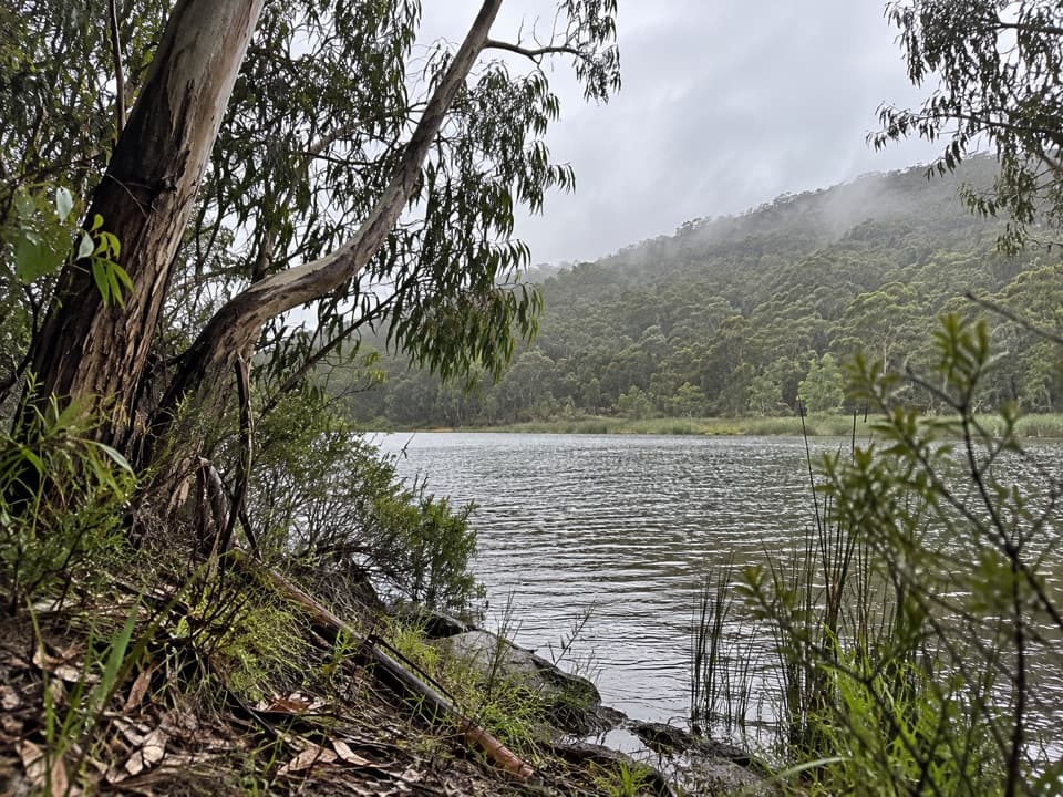
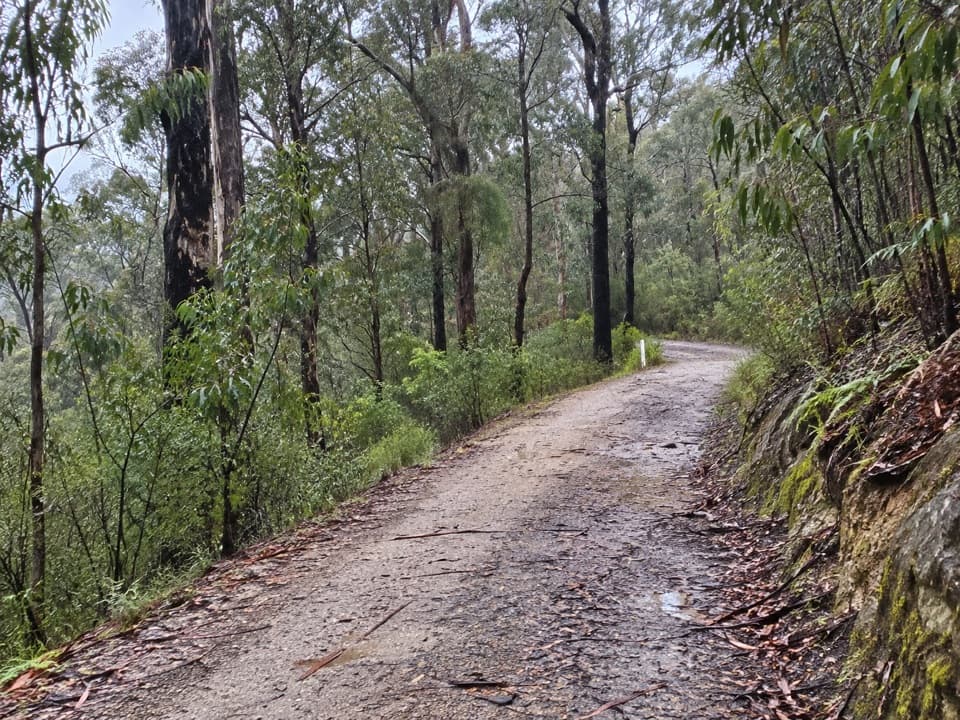
Distillery Creek Picnic Area is a pair of picnic clearings in dry ironbark forest inland from Aireys Inlet, reached from Bambra Road. The lower and upper grounds are across the road from one another. Both have picnic tables and wood-fired barbecues; the upper ground also has toilets. Dogs are allowed on leash. Start at the lower ground for the signed nature loop.

Take the easy loopThe Distillery Creek Nature Trail is an easy 1.5 km circuit that takes about 45 minutes.

The Distillery Creek Nature Trail is an easy 1.5 km circuit that takes about 45 minutes. Interpretive signs and QR codes explain the area, with a few seats along the way. There’s a creekside viewing spot and a short boardwalk through damper ground. The creek is often dry, so think of this as a forest walk rather than a waterfall stop.

Look for birds and fire scarsLate winter and spring bring yellow wattles, white flowering shrubs and starwort, and tall…

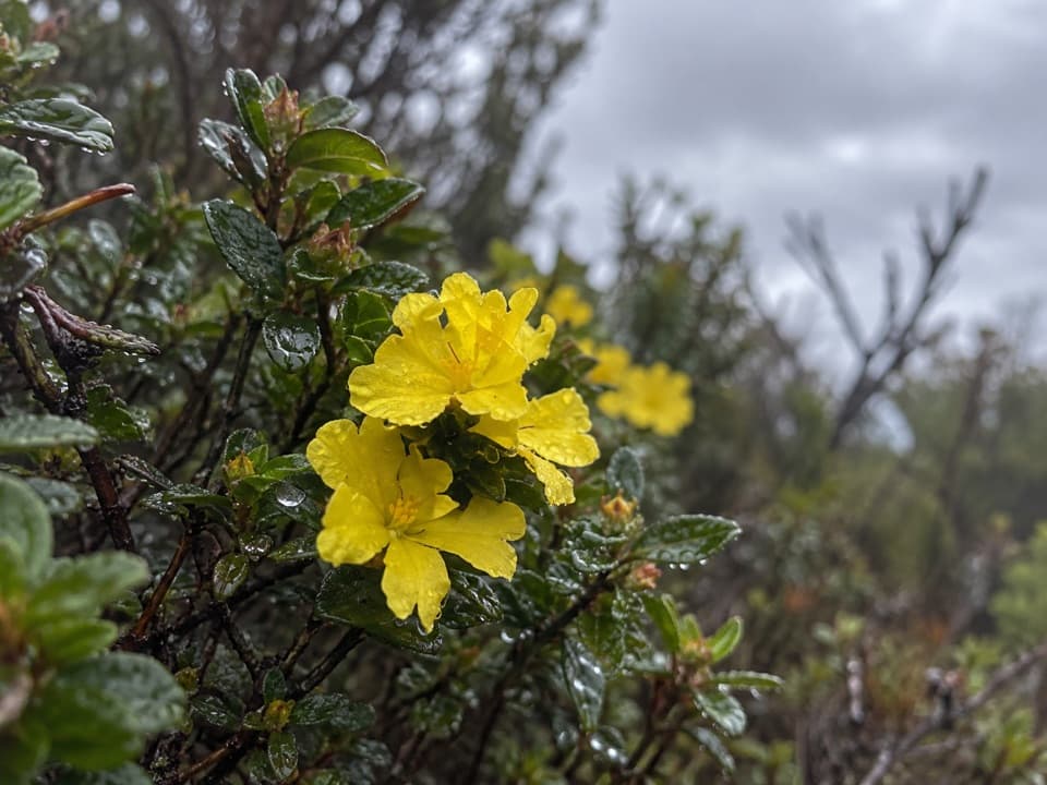
Late winter and spring bring yellow wattles, white flowering shrubs and starwort, and tall greenhood orchids, including the rarer brown-tipped greenhood. Around the picnic-ground waterhole, look for honeyeaters, superb fairy-wrens, eastern yellow robins and grey fantails. Notice the grey-brown, furrowed ironbarks beside blackened trunks left by the 1983 bushfires.

Wildlife

Wildlife in Great Ocean Road

All Great Ocean Road wildlife maps

Sighting maps show where each species has been reported across Great Ocean Road. Wildlife moves, so no sighting is guaranteed.

Keep exploring

Near Distillery Creek Picnic Area

See it all on the map

Trails nearby

More stops nearby

Parkwolf’s Great Ocean Road ranking

Top sights in Great Ocean Road

All 99 places
  1. 1The Twelve ApostlesSight
  2. 2Loch Ard GorgeSight
  3. 3Cape Otway LightstationSight
  4. 4Bells BeachBeach
  5. 5Gibson StepsSight
  6. 6London BridgeSight

Take Parkwolf to Great Ocean Road.

The audio tour guide for the drive, plus offline maps, trails, and wildlife heatmaps for when the signal drops.

4.7 from 8,600+ ratings

Download Parkwolf on the App StoreGet Parkwolf on Google Play