Parking
Use Sabine Falls Picnic Area on Sunnyside Road; the track starts at the picnic ground. The signed approach comes from Skenes Creek–Forest Road.
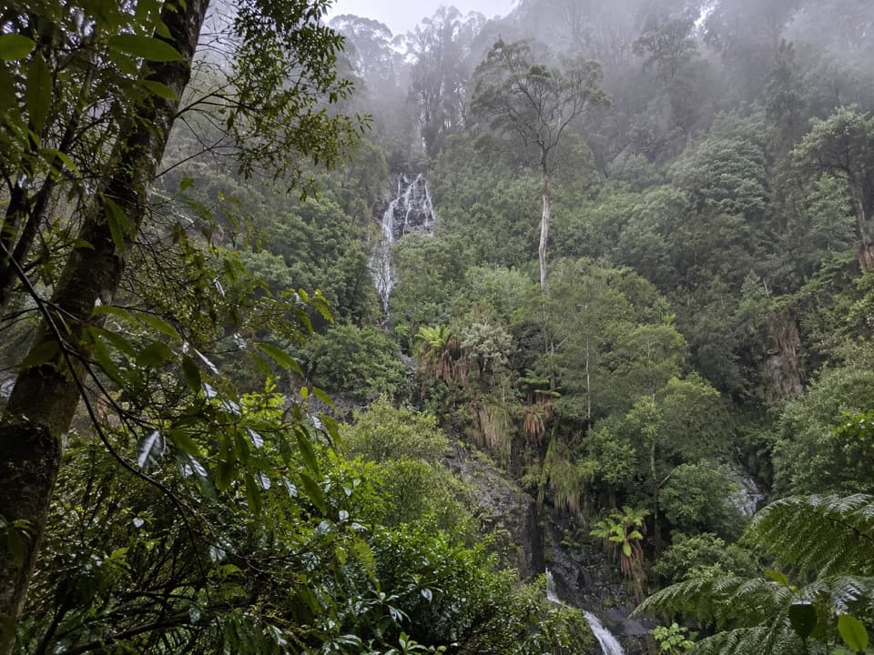
Great Ocean Road, VIC
A steep rainforest descent to a waterfall across a fern-filled valley.
Overview
Map & elevation
Plan your hike

The highest, rockiest slopes around here are a summer buffet for grizzly bears.
Great Ocean Road Tour Guide
Parkwolf is a GPS audio tour guide for Great Ocean Road. As you drive, it chimes in with what’s ahead: hidden gems, upcoming stops, history, geology, and wildlife, right through your car’s speakers.
See the Great Ocean Road audio tourRecorded for this trailhead
Sabine Falls Inland Detour“You're approaching the Sunnyside Road turnoff for Sabine Falls, farther inland along a partly unsealed road.”
Plays as you drive up to this trailhead in the Parkwolf Great Ocean Road Tour Guide.
More stories near here in the app
“Fantastic app with many points of information… It’s great to just turn on while you’re driving and it gives you an audio tour of the national Park. We love it!!!!”


Trail guide
Sabine Falls Walk is a 2.46-mile (3.95-kilometre) out-and-back from Sabine Falls Picnic Area to a viewing platform above the falls. Allow about two to two and a half hours. The trail drops roughly 220 metres into the valley, then climbs back up the same way. It is a good pick if the rainforest walk matters as much as the waterfall: the cascades stay several hundred metres away across a thickly vegetated ravine.
The opening stretch is a wide, relatively gradual path through cool temperate rainforest. Look for tree ferns and rock cuttings at the former Henry's Saw Mill site, roughly halfway along; the mill itself is gone. Fallen logs and fern fronds can make the natural track feel less tidy than a surfaced park path.
After the mill site, the route drops more sharply through two gullies on winding steps. It crosses two creeks on rocks before reaching the viewing platform. There is no handrail, and wet bark, moss and rock can be slippery. The return follows the same steps uphill, so save some energy for the climb out rather than treating the descent as the hard part.
The platform looks across the forested valley at three visible sections of Sabine Falls, with the upper cascade the most striking. The dense vegetation partly screens the lower drop, and the platform is the end of the walk; this is not a route to the base. Binoculars help pick out the separate tiers. For a photo, frame the water through the surrounding tree ferns instead of trying to crop out the whole valley.
Start and finish at Sabine Falls Picnic Area on Sunnyside Road, reached via Skenes Creek–Forest Road. Dogs are prohibited, as are fires, horses, camping and bicycles.
Wildlife
 900 sightingsKoalaMost seen around 5 PMSighting map
 358 sightingsKangarooMost seen around 6 PMSighting map
 49 sightingsLittle PenguinMost seen around 8 PMSighting map
 155 sightingsEchidnaMost seen around 6 PMSighting map
 33 sightingsFur SealMost seen around 6 PMSighting map
 59 sightingsRed-necked WallabyMost seen around 6 AMSighting map
Sighting maps show where each species has been reported across Great Ocean Road. Wildlife moves, so no sighting is guaranteed.
Keep exploring
 EasyCarisbrook Falls Walk0.5 km · 20 min · 8.4 km awayA quick uphill walk to falls across a steep gorge.
 ModerateLake Elizabeth Loop Walk4.5 km · 1.8 hr · 9.2 km awayA ferny river walk opens onto a lake of drowned trees.
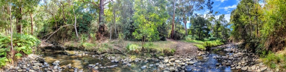 EasyKennett River Nature Walk0.4 km · 20 min · 10.4 km awayFourteen small nature lessons beside the Kennett River.
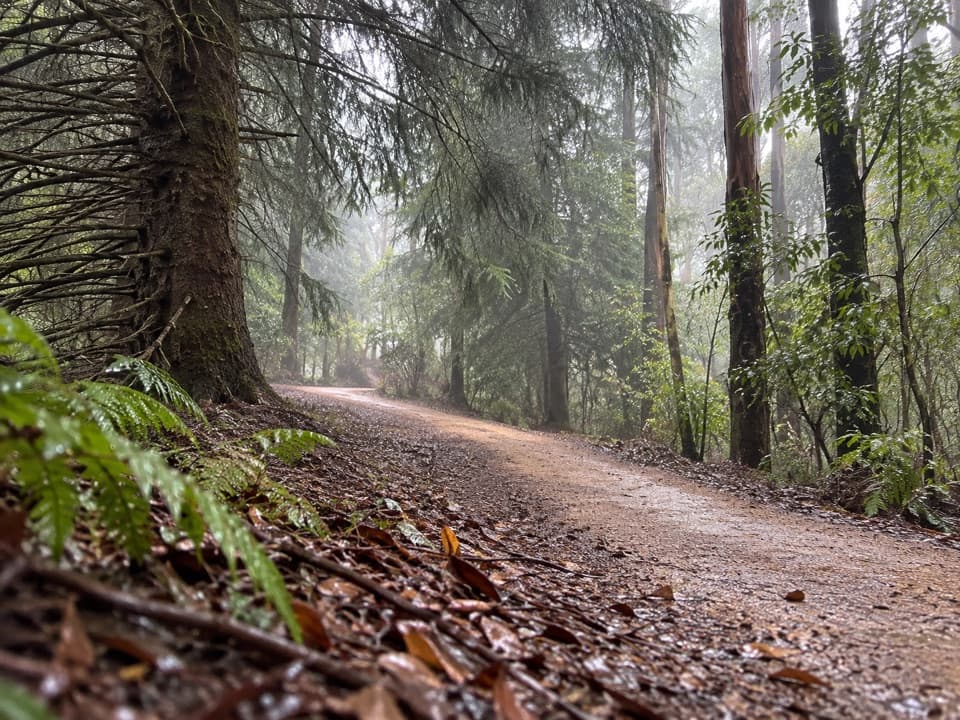 EasyBlue Spruce Walk0.3 km · 9 min · 10.5 km awayA short gravel leg beside the Gellibrand River
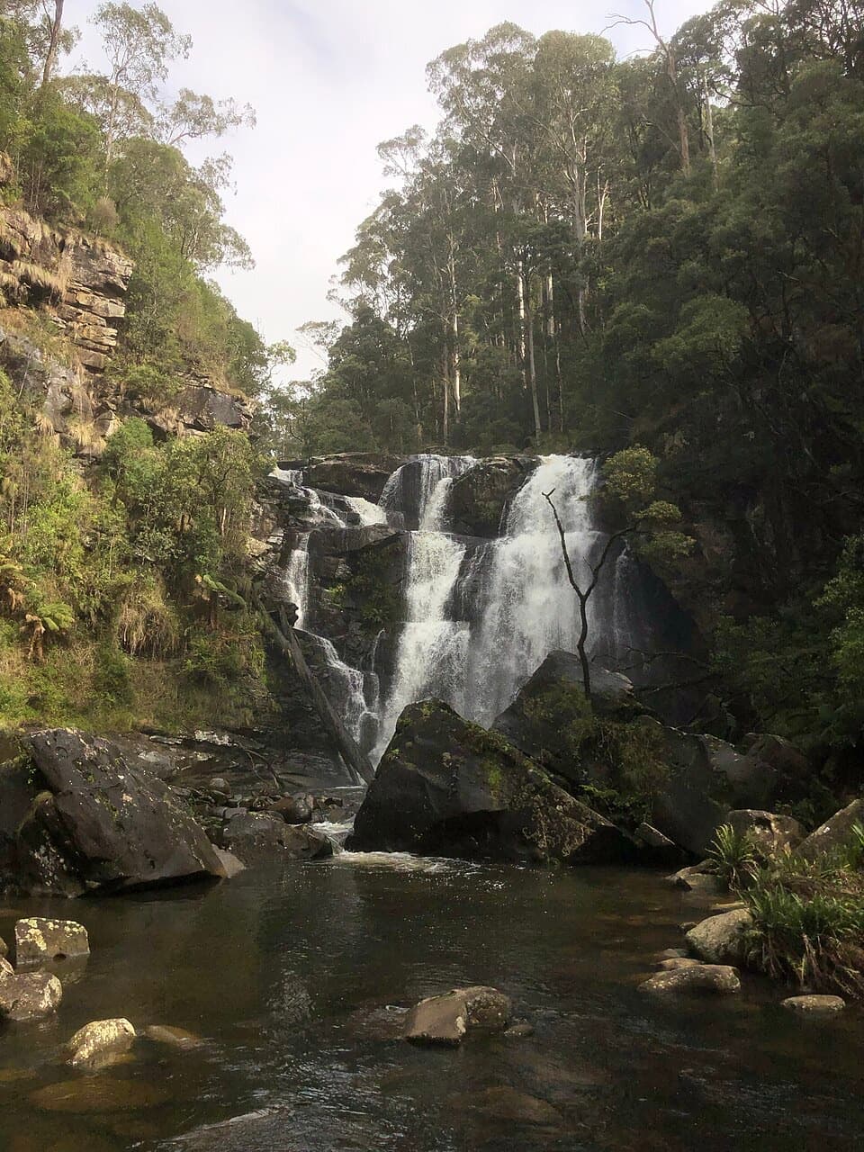 EasyStevensons Falls Walk1 km · 20 min · 10.5 km awayA 1 km easy walk through redwoods to a tiered Otways waterfall
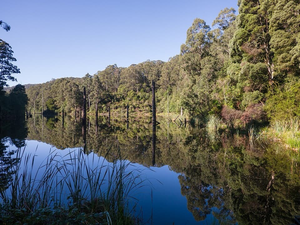 ModerateWest Barwon Dam to Lake Elizabeth Circuit18.4 km · 6 hr · 11.5 km awayA full-day circuit to a landslide lake and tree-fern shore
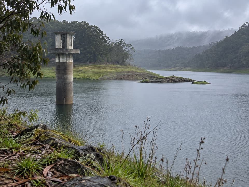 EasyWest Barwon Reservoir Walk0.4 km · 20 min · 11.6 km awayA quick return to the dam wall for broad reservoir views.
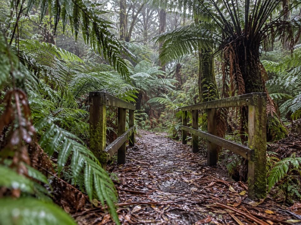 EasyFern Gully Walk1 km · 30 min · 11.7 km awayA short forest walk to tree ferns, creek crossings and boardwalks.
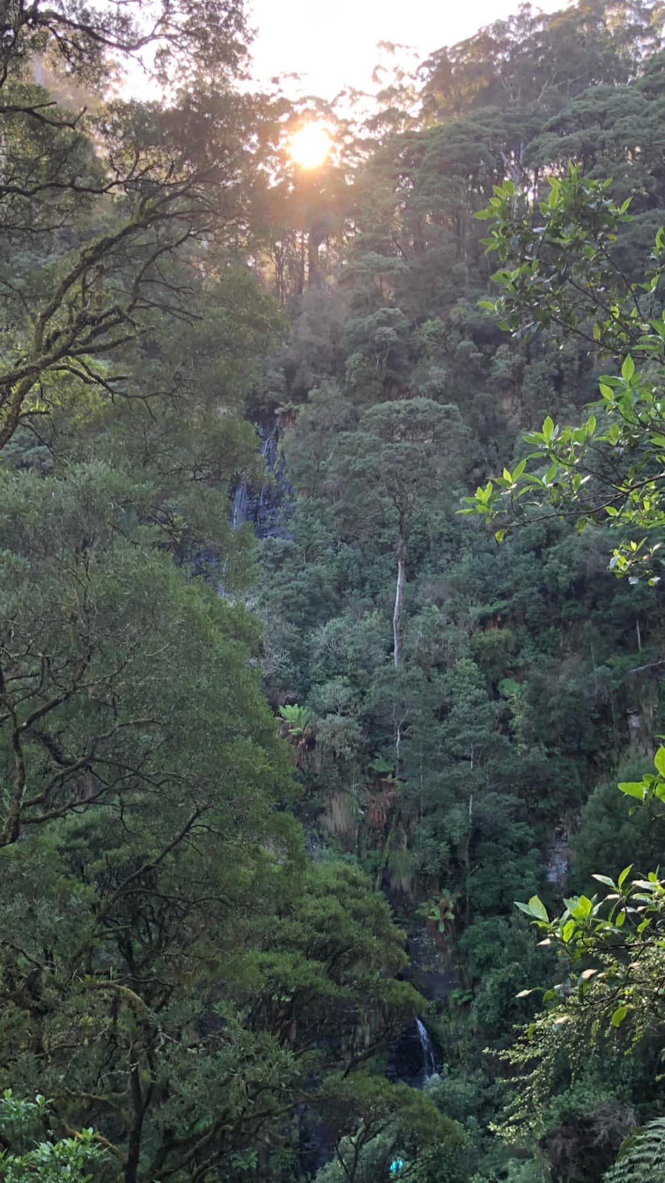 Sight · At the trailheadSabine FallsA steep rainforest walk to a distant, tiered waterfall.
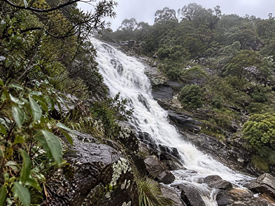 Sight · 8.2 km awayCarisbrook FallsA short climb for a waterfall view across a forested gorge.Sight · 9 km awayLake ElizabethA drowned forest lake, with a chance to spot platypus.
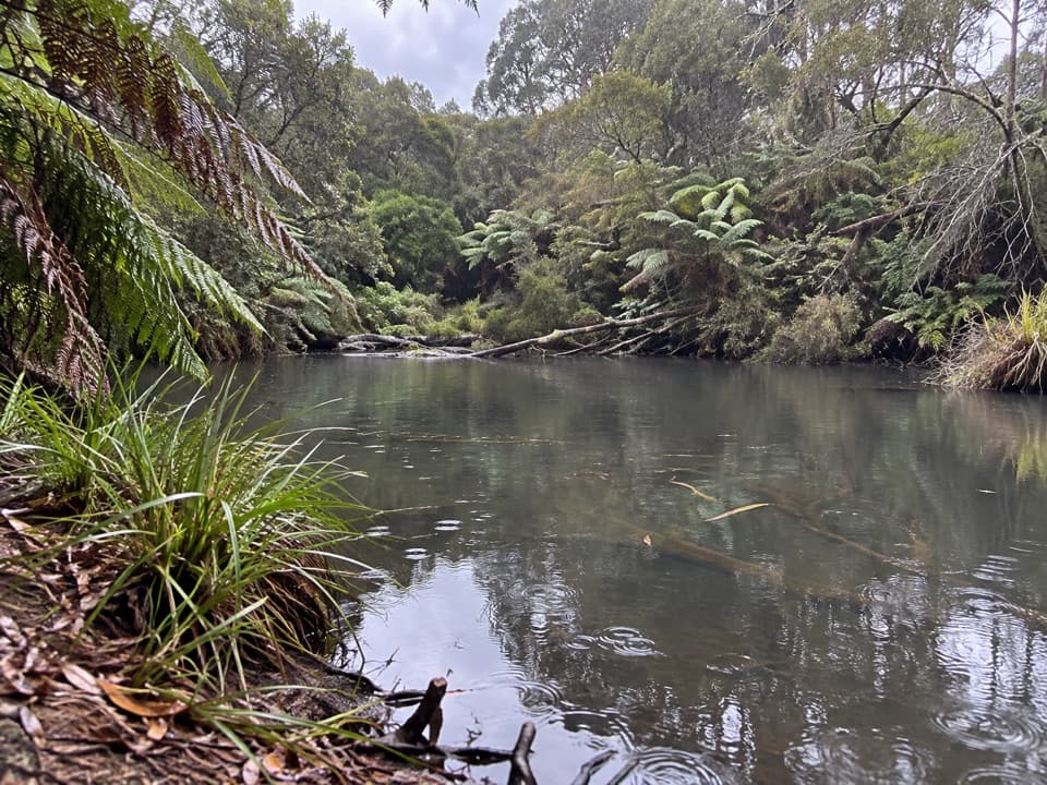 Campground · 9.3 km awayLake Elizabeth CampgroundA forest camp, with the young lake a 1 km walk away.
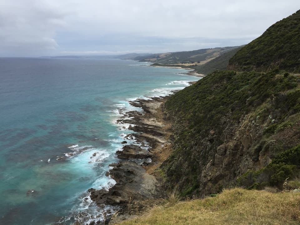 Sight · 9.5 km awayCape Patton LookoutA quick coastal stop with cliffs and surf in view.Sight · 10.3 km awayStevensons FallsWalk through 1980s redwoods to a waterfall on the Gellibrand.
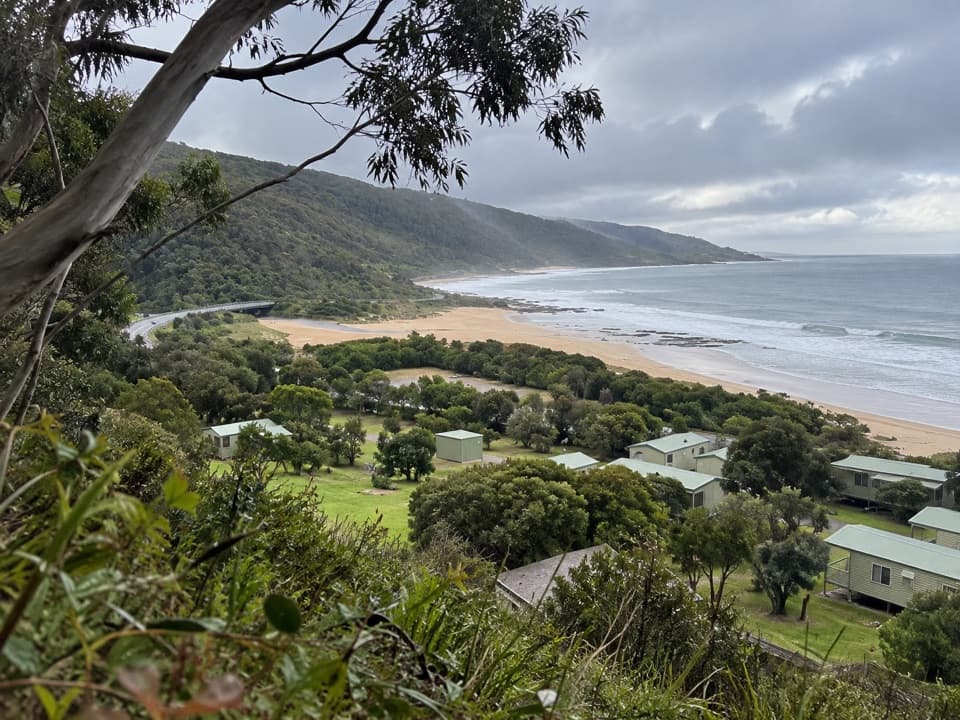 Campground · 10.5 km awayKennett River Family Caravan ParkA shaded coastal campground opposite Kennett River Beach.
 Campground · 10.7 km awaySkenes Creek Foreshore Caravan ParkA compact camp with direct beach and creek access.
Parkwolf’s Great Ocean Road ranking

The audio tour guide for the drive, plus offline maps, trails, and wildlife heatmaps for when the signal drops.





