Parking
Start at the Lake Elizabeth day visitor car park off Kaanglang Road near Forrest. Use the parking access rather than a map pin at the lake; the walk reaches the water from here.

#8 of 109 trails in Great Ocean Road
Great Ocean Road, VIC
A ferny river walk opens onto a lake of drowned trees.
Overview
Map & elevation
Plan your hike

The highest, rockiest slopes around here are a summer buffet for grizzly bears.
Great Ocean Road Tour Guide
Parkwolf is a GPS audio tour guide for Great Ocean Road. As you drive, it chimes in with what’s ahead: hidden gems, upcoming stops, history, geology, and wildlife, right through your car’s speakers.
See the Great Ocean Road audio tour“Fantastic app with many points of information… It’s great to just turn on while you’re driving and it gives you an audio tour of the national Park. We love it!!!!”


Trail guide
Lake Elizabeth Loop Walk is the complete walk from the day visitor access on Kaanglang Road: a ferny approach beside the East Barwon River, a circuit around Lake Elizabeth, then the path back to the car park. The full route is about 4.5 km and takes 1.5 to 2 hours. That figure includes the approach, the lake circuit and the return; some published figures round the extended walk to 4 km. A shorter 2 km return reaches the lake and turns back without circling it. Choose the full loop if you have time for more of the shore and forest, and leave room for the hills on the way.
The track climbs and dips through tall forest beside the East Barwon River, past a billabong and into ferny gullies. It takes just under a kilometre to reach the lake. There are occasional steps and uneven ground, with a steeper hill section that makes the approach feel longer than the distance suggests. The forest keeps the path enclosed at first; the water and drowned trunks appear as the trail reaches the lake.
Continue onto the perimeter track for the full walk, and follow it anticlockwise for the recommended approach to the best lake views. Open stretches show still water and the standing tree trunks, while much of the rest of the circuit closes back in under tall trees and ferns. The lake comes and goes between those openings, so the walk changes from a riverside forest path to a quiet water edge and back again. For a photo, frame one of the trunks with reeds or the canoe landing in the foreground and the forest beyond; it gives the lake more depth than a tight shot of water.
A natural landslip blocked the valley more than 50 years ago and created the lake. Water drowned the trees in the former valley, and their trunks still rise above the surface. The heavily timbered slopes and fern-draped banks make the place feel tucked away, but the bare trunks show what happened here at a glance.
Lake Elizabeth is known for the chance of spotting platypus. Dawn and dusk are quieter times to look, though sightings are never assured and can be distant. Around the water, watch for wrens, robins and waterbirds; the surrounding forest has a wider mix of birdlife. It is a good reason to slow down at the lake, not something to count on seeing.
This is an easy-to-moderate bushwalk with hills, steps and uneven footing. Parks Victoria warns about falling trees or limbs, water hazards, snakes and European wasps. Dogs are not allowed on the walk. Start at the Lake Elizabeth day visitor car park on Kaanglang Road near Forrest; use the parking access rather than a map pin placed at the lake. No permit or entry fee is listed for this walk.
Wildlife
 900 sightingsKoalaMost seen around 5 PMSighting map
 358 sightingsKangarooMost seen around 6 PMSighting map
 49 sightingsLittle PenguinMost seen around 8 PMSighting map
 155 sightingsEchidnaMost seen around 6 PMSighting map
 33 sightingsFur SealMost seen around 6 PMSighting map
 59 sightingsRed-necked WallabyMost seen around 6 AMSighting map
Sighting maps show where each species has been reported across Great Ocean Road. Wildlife moves, so no sighting is guaranteed.
Keep exploring
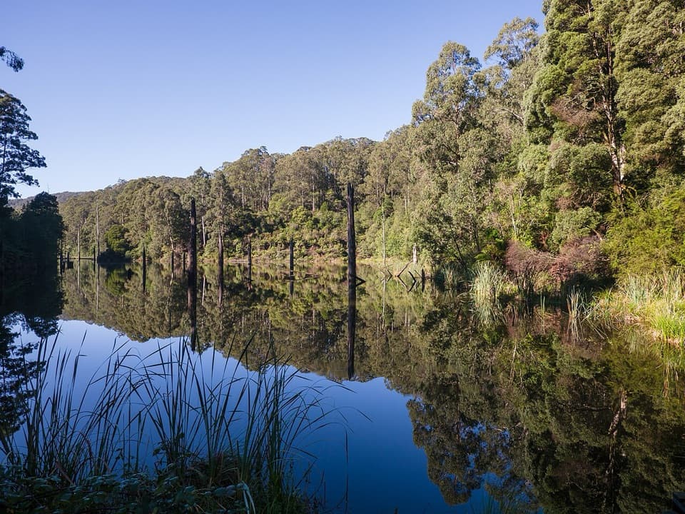 ModerateWest Barwon Dam to Lake Elizabeth Circuit18.4 km · 6 hr · 2.9 km awayA full-day circuit to a landslide lake and tree-fern shore
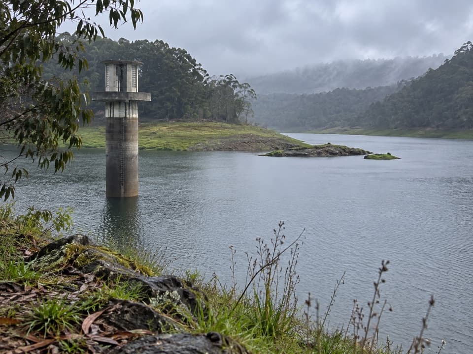 EasyWest Barwon Reservoir Walk0.4 km · 20 min · 3 km awayA quick return to the dam wall for broad reservoir views.
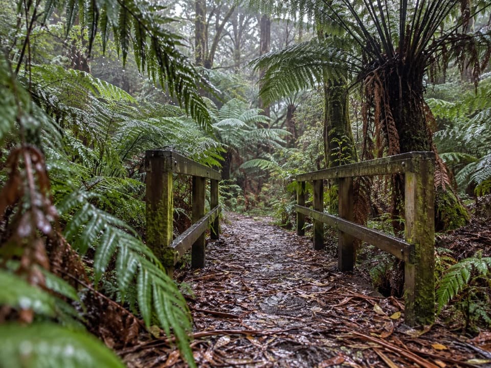 EasyFern Gully Walk1 km · 30 min · 3.4 km awayA short forest walk to tree ferns, creek crossings and boardwalks.
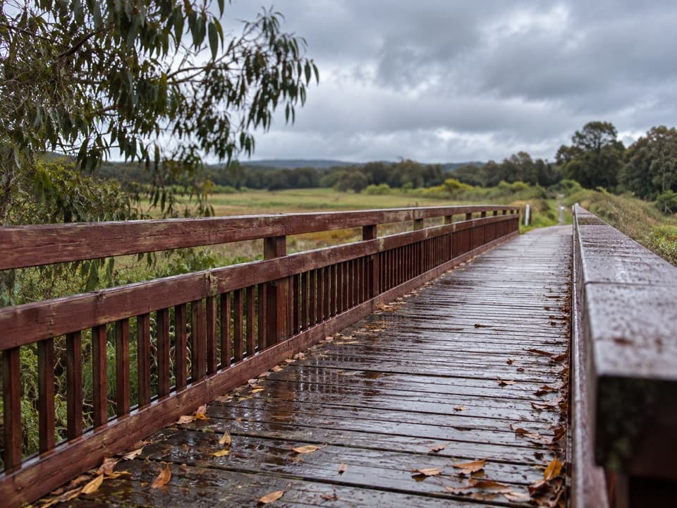 EasyTiger Rail Trail10 km · 2.5 hr · 4.7 km awayA timber bridge and old rail line carry you into the forest.
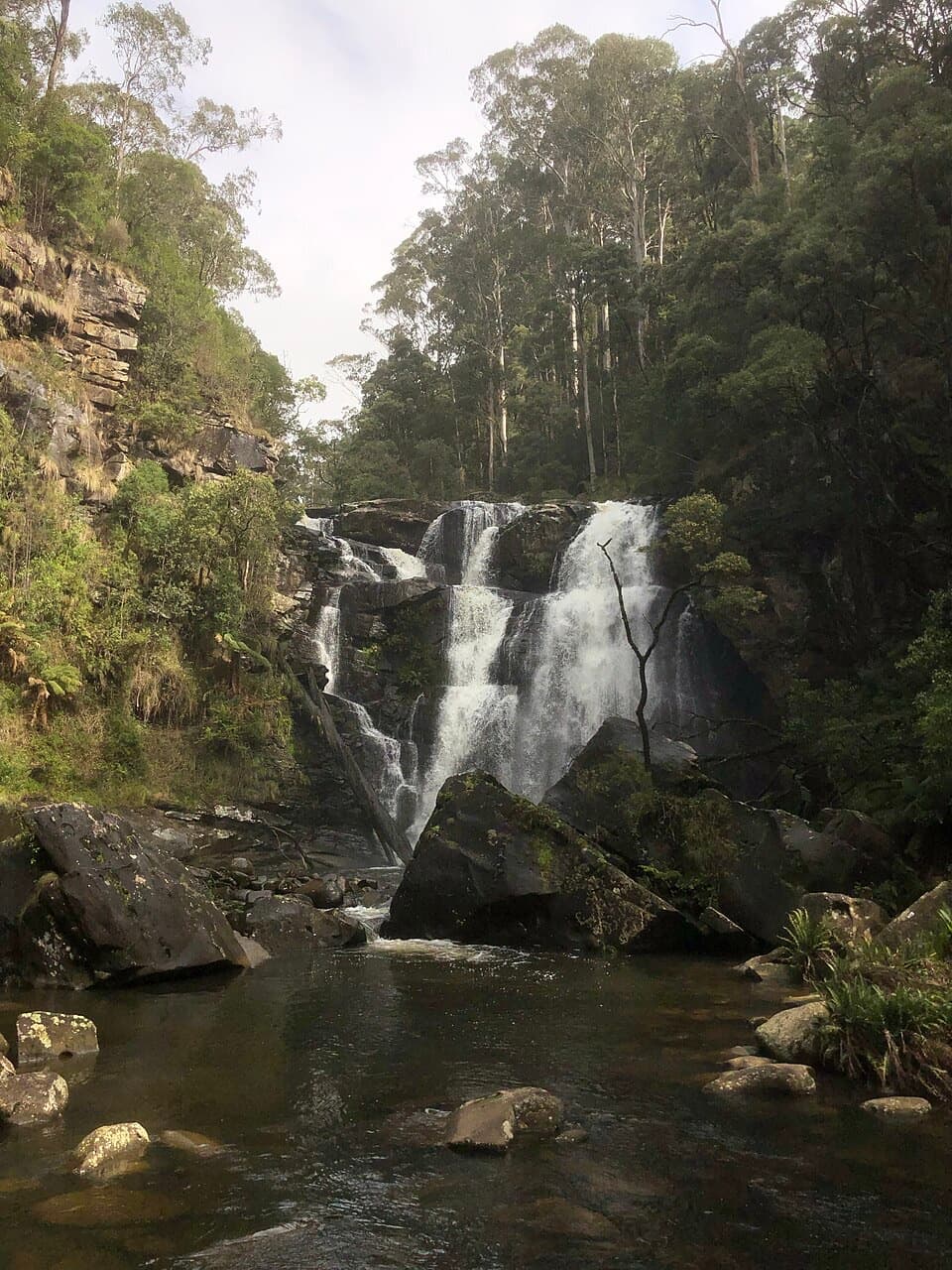 EasyStevensons Falls Walk1 km · 20 min · 7.9 km awayA 1 km easy walk through redwoods to a tiered Otways waterfall
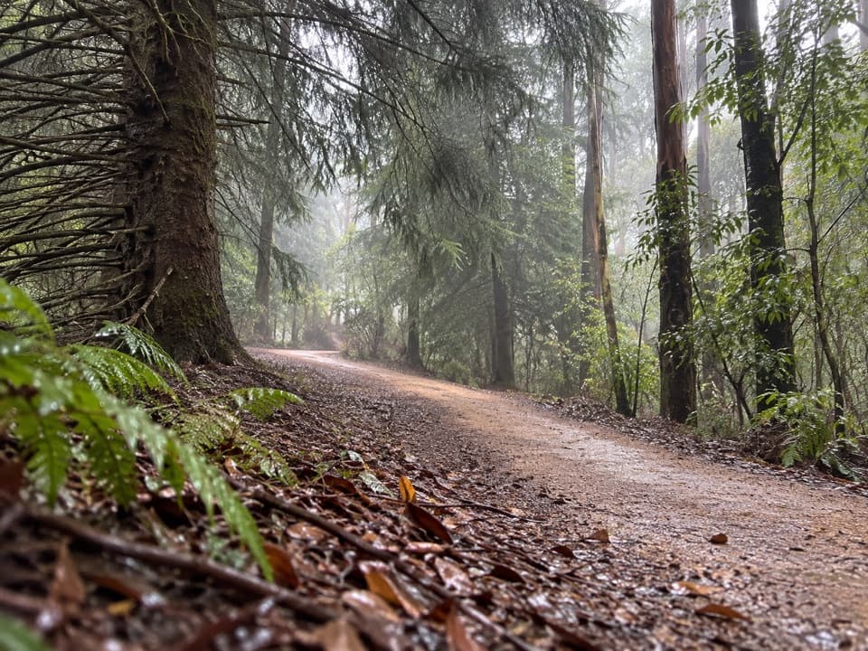 EasyBlue Spruce Walk0.3 km · 9 min · 7.9 km awayA short gravel leg beside the Gellibrand River
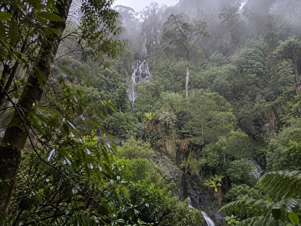 ModerateSabine Falls Walk4 km · 2.3 hr · 9.2 km awayA steep rainforest descent to a waterfall across a fern-filled valley.
 ModerateErskine Falls Walk0.7 km · 30 min · 15.4 km awayA short stair walk to a 30-metre waterfall in a ferny gully.
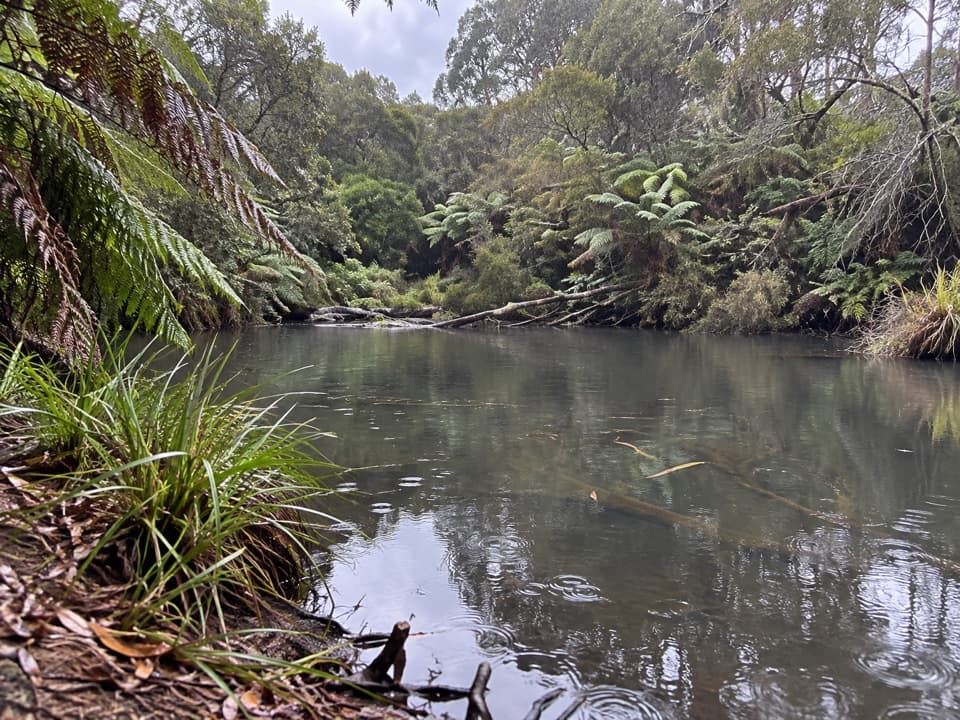 Campground · 0.2 km awayLake Elizabeth CampgroundA forest camp, with the young lake a 1 km walk away.Sight · 1.2 km awayLake ElizabethA drowned forest lake, with a chance to spot platypus.
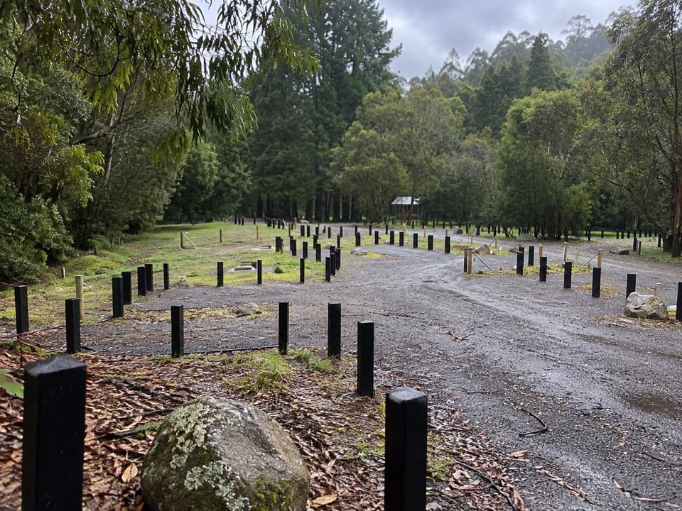 Campground · 7.9 km awayStevensons Falls CampgroundCamp beneath redwoods, with the river and falls within easy reach.Sight · 8.1 km awayStevensons FallsWalk through 1980s redwoods to a waterfall on the Gellibrand.
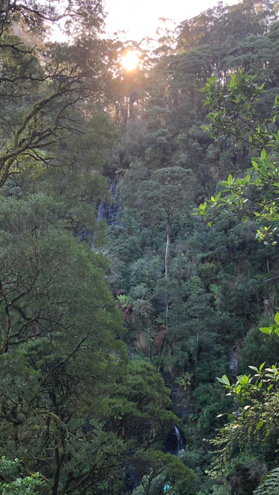 Sight · 9.2 km awaySabine FallsA steep rainforest walk to a distant, tiered waterfall.
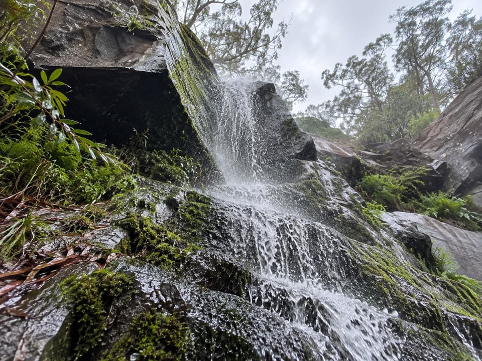 Sight · 14.3 km awayUpper Kalimna FallsKeep going beyond Lower for a quieter run of creek cascades.
 Sight · 15.1 km awayLower Kalimna FallsA ferny creek waterfall where you can stand behind the falling water.
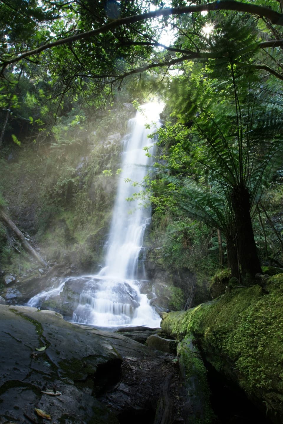 Sight · 15.4 km awayErskine FallsA 30-metre waterfall framed by tree ferns, a short detour inland.
Parkwolf’s Great Ocean Road ranking

The audio tour guide for the drive, plus offline maps, trails, and wildlife heatmaps for when the signal drops.




