Parking
Use Stevensons Falls day visitor car park off Upper Gellibrand Road. The sealed turnaround and two accessible bays are near the accessible toilet and boardwalk start. The campground is a separate, longer starting point.
Great Ocean Road, VIC
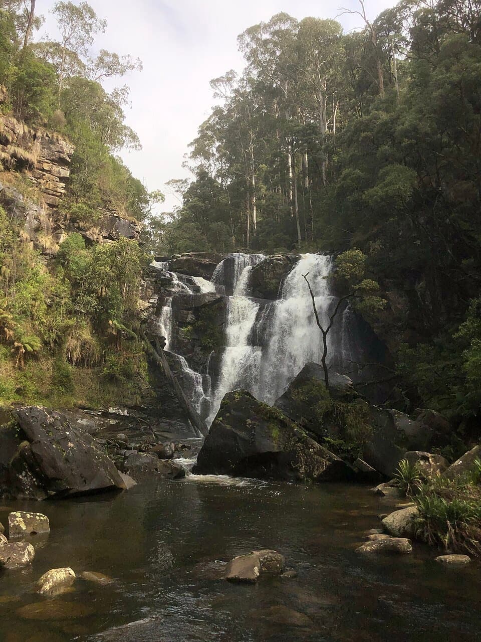
A 1 km easy walk through redwoods to a tiered Otways waterfall
Overview
Map & elevation
Plan your hike

The highest, rockiest slopes around here are a summer buffet for grizzly bears.
Great Ocean Road Tour Guide
Parkwolf is a GPS audio tour guide for Great Ocean Road. As you drive, it chimes in with what’s ahead: hidden gems, upcoming stops, history, geology, and wildlife, right through your car’s speakers.
See the Great Ocean Road audio tourMore stories near here in the app
“Fantastic app with many points of information… It’s great to just turn on while you’re driving and it gives you an audio tour of the national Park. We love it!!!!”


Trail guide
Stevensons Falls Walk is a Grade 1 1 km (0.62-mile) out-and-back from the day visitor car park to the lower waterfall platform and back. The formed track has gentle hills, clear signs, mesh boardwalk and compacted gravel; the marked route has no steps. A local estimate puts the walk itself at 10–15 minutes. Allow longer if you stop at the falls.
The path passes a stand of large Californian redwoods before crossing the Gellibrand River and following the river to the viewing platform at the base of the falls. The redwoods are a remnant of a trial plantation established in the 1980s. Kangaroos and wrens are among the wildlife visitors may notice around the day area.
The lower platform is reached on the step-free route. A second, higher platform sits just beyond it and is reached by steps. The nearby Redwoods Boardwalk and Blue Spruce Walk are separate short walks; the Redwoods Boardwalk has steps and is not included in this route or its 1 km distance. From the lower platform, the waterfall and rock pool make the natural photo stop.
This entry follows the clearly described day visitor car park route. Parks Victoria gives it as 1 km return; a regional listing gives 3.4 km without explaining its start, while a local account describes a 4.5 km return when starting at the campground. Those longer figures are not combined with this short route. The day-use area has accessible toilets and picnic tables; the nearby campground is a separate facility with tent sites and wood-fired barbecues. Dogs are allowed, with no booking or entry fee listed.
Wildlife
 900 sightingsKoalaMost seen around 5 PMSighting map
 358 sightingsKangarooMost seen around 6 PMSighting map
 49 sightingsLittle PenguinMost seen around 8 PMSighting map
 155 sightingsEchidnaMost seen around 6 PMSighting map
 33 sightingsFur SealMost seen around 6 PMSighting map
 59 sightingsRed-necked WallabyMost seen around 6 AMSighting map
Sighting maps show where each species has been reported across Great Ocean Road. Wildlife moves, so no sighting is guaranteed.
Keep exploring
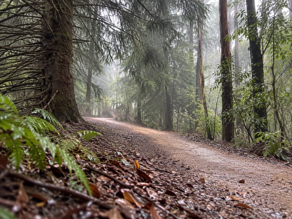 EasyBlue Spruce Walk0.3 km · 9 min · At the trailheadA short gravel leg beside the Gellibrand River
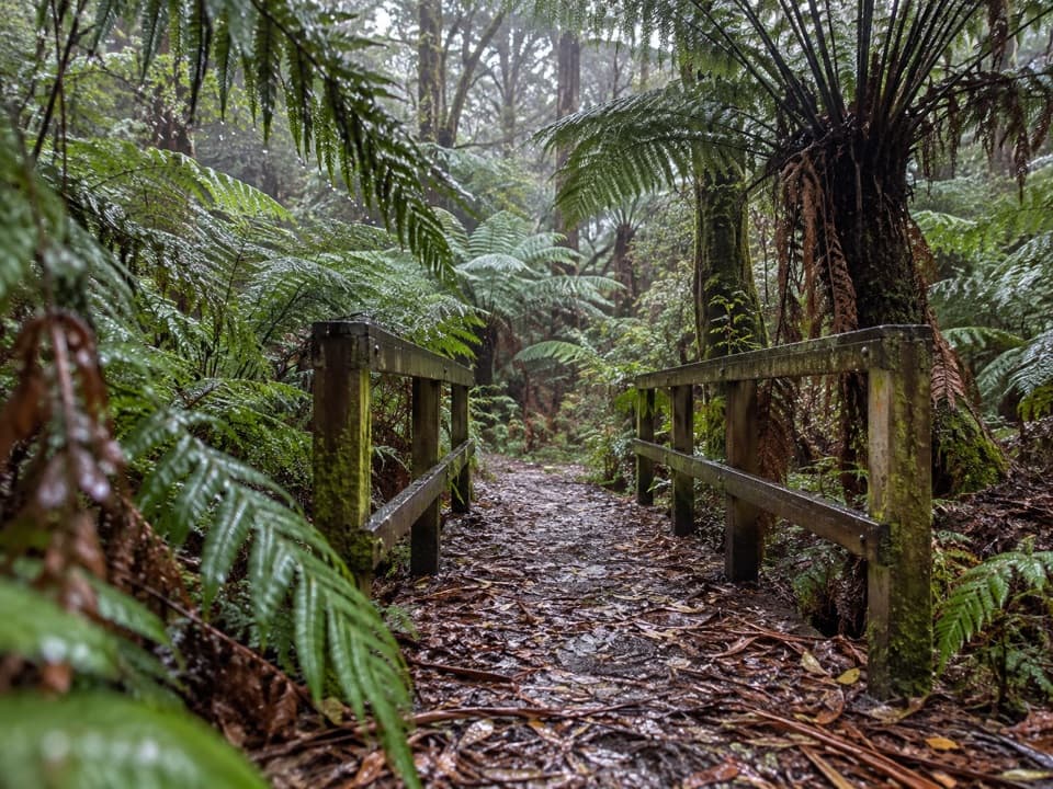 EasyFern Gully Walk1 km · 30 min · 6.6 km awayA short forest walk to tree ferns, creek crossings and boardwalks.
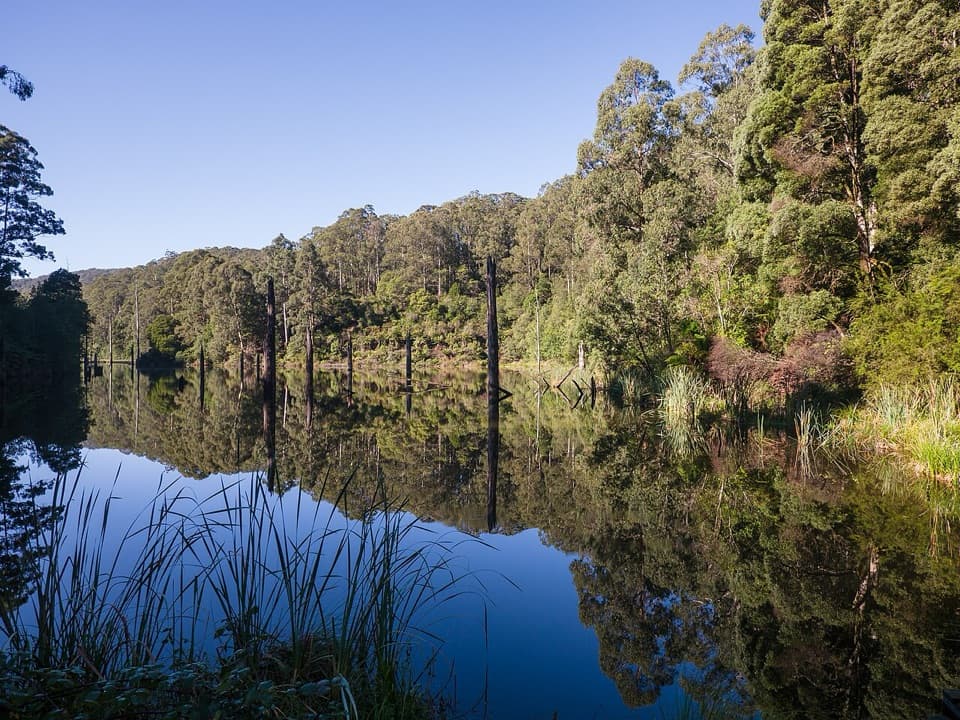 ModerateWest Barwon Dam to Lake Elizabeth Circuit18.4 km · 6 hr · 7 km awayA full-day circuit to a landslide lake and tree-fern shore
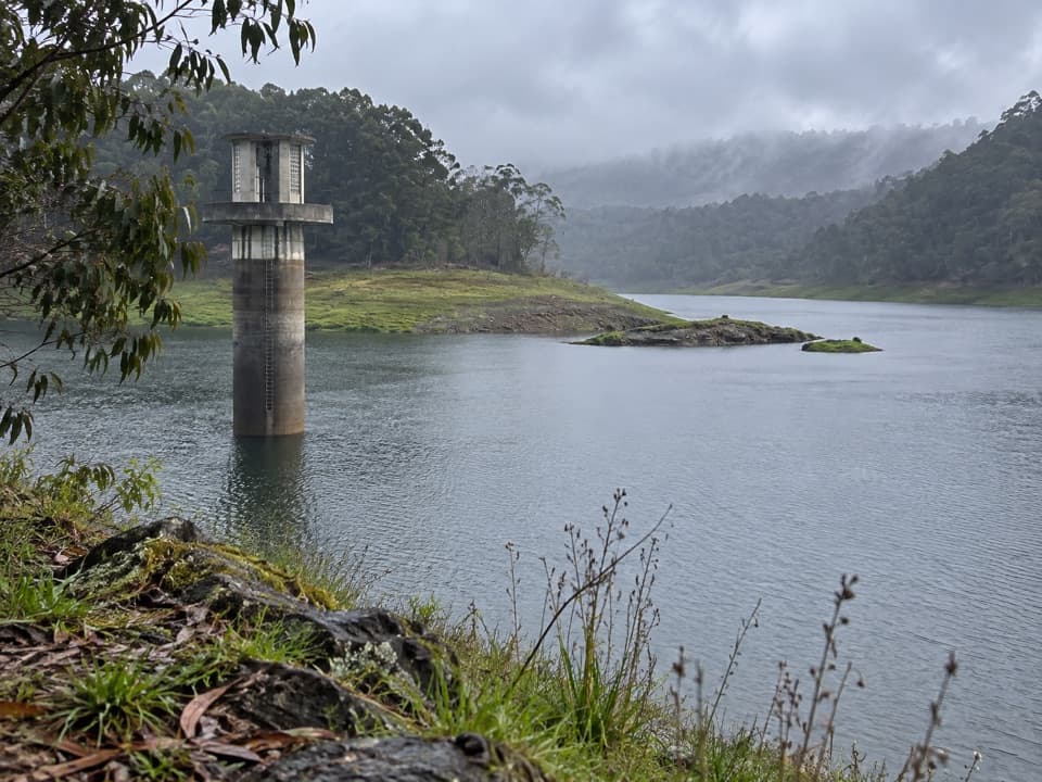 EasyWest Barwon Reservoir Walk0.4 km · 20 min · 7.1 km awayA quick return to the dam wall for broad reservoir views.
 ModerateLake Elizabeth Loop Walk4.5 km · 1.8 hr · 7.9 km awayA ferny river walk opens onto a lake of drowned trees.
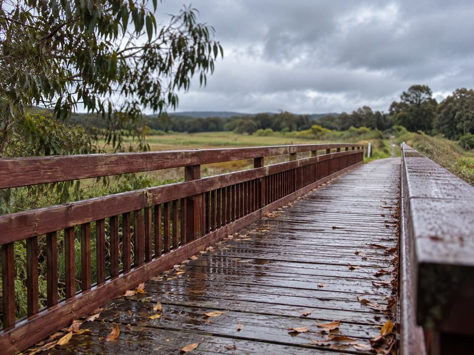 EasyTiger Rail Trail10 km · 2.5 hr · 8 km awayA timber bridge and old rail line carry you into the forest.
 ModerateBeauchamp Falls Walk3 km · 1.3 hr · 9.9 km awayA ferny descent to a 20-metre falls, with a steep climb back.
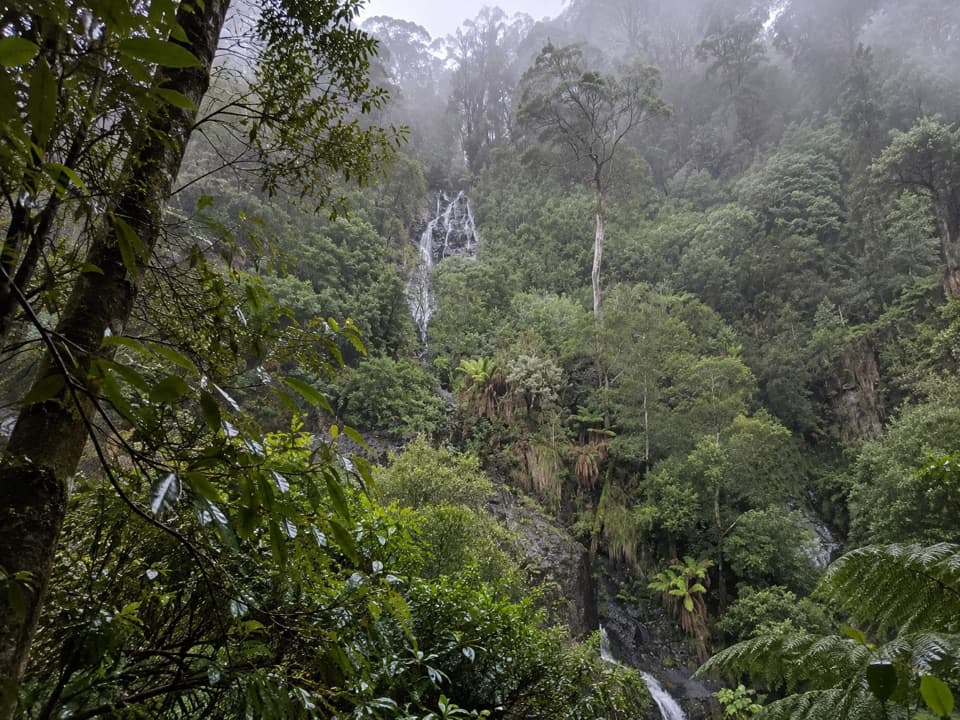 ModerateSabine Falls Walk4 km · 2.3 hr · 10.5 km awayA steep rainforest descent to a waterfall across a fern-filled valley.Sight · 0.5 km awayStevensons FallsWalk through 1980s redwoods to a waterfall on the Gellibrand.
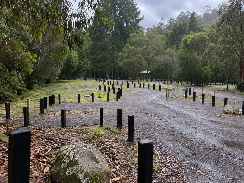 Campground · 0.9 km awayStevensons Falls CampgroundCamp beneath redwoods, with the river and falls within easy reach.
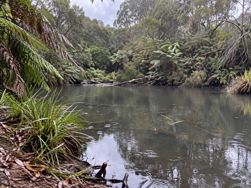 Campground · 7.8 km awayLake Elizabeth CampgroundA forest camp, with the young lake a 1 km walk away.Sight · 9 km awayLake ElizabethA drowned forest lake, with a chance to spot platypus.Sight · 9.6 km awayBeauchamp FallsA bright, fern-framed cascade reached by a forest walk
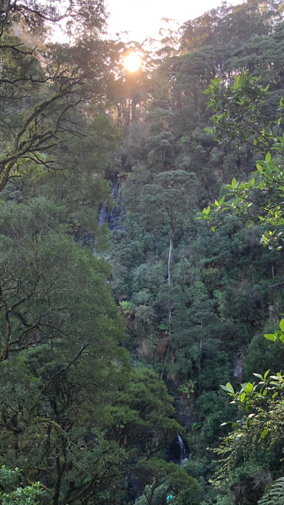 Sight · 10.5 km awaySabine FallsA steep rainforest walk to a distant, tiered waterfall.
 Sight · 12.7 km awayThe RedwoodsA tall, quiet redwood grove beside the Aire River.
 Sight · 13.3 km awayHopetoun FallsTree ferns frame a waterfall; the lower view takes 200 stairs.
Parkwolf’s Great Ocean Road ranking

The audio tour guide for the drive, plus offline maps, trails, and wildlife heatmaps for when the signal drops.





