Parking
The current itinerary starts at Whites Beach East. Parking directly at the changed access was not confirmed; Point Impossible is the older, separate start.
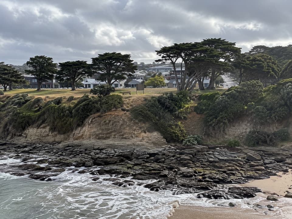
Great Ocean Road, VIC
A short, easy coastal stage through dunes to Yellow Bluff.
Overview
Map & elevation
Plan your hike

The highest, rockiest slopes around here are a summer buffet for grizzly bears.
Great Ocean Road Tour Guide
Parkwolf is a GPS audio tour guide for Great Ocean Road. As you drive, it chimes in with what’s ahead: hidden gems, upcoming stops, history, geology, and wildlife, right through your car’s speakers.
See the Great Ocean Road audio tourRecorded for this area
Australian National Surfing Museum“You're coming up on the Australian National Surfing Museum in Torquay's Surf City precinct.”
Plays on the road 2.8 km from the trailhead in the Parkwolf Great Ocean Road Tour Guide.
More stories near here in the app
“Fantastic app with many points of information… It’s great to just turn on while you’re driving and it gives you an audio tour of the national Park. We love it!!!!”


Trail guide
Wadawurrung Country Walk is a 2.6-km, one-way Surf Coast Walk stage from Whites Beach East south to Yellow Bluff. The mostly flat route follows a well-formed path through coastal dunes and vegetation, with no steps described for this section. Allow about 45–60 minutes for a relaxed walk and a few stops. It suits anyone after a short coastal outing; the point-to-point layout means you need to arrange a return or walk back.
This entry follows the Whites Beach East–Yellow Bluff stage. Older route materials include a longer Point Impossible–Yellow Bluff walk of about 5.7 km; that additional approach is outside this 2.6-km route. The current stage begins at the mapped access beside Whites Beach East and ends at Yellow Bluff. A public toilet is mapped near the start, with further facilities noted around Fishermans Beach toward the finish. Parking at the changed start and a return service were not confirmed, so plan those before setting out.
The walk is on Wadawurrung Country. The broader walk description records seasonal Wadawurrung camps in this country over thousands of years; it does not identify a particular cultural site on this short section. Treat that history as context for the landscape rather than a marked stop along the path.
Wildlife
 900 sightingsKoalaMost seen around 5 PMSighting map
 358 sightingsKangarooMost seen around 6 PMSighting map
 49 sightingsLittle PenguinMost seen around 8 PMSighting map
 155 sightingsEchidnaMost seen around 6 PMSighting map
 33 sightingsFur SealMost seen around 6 PMSighting map
 59 sightingsRed-necked WallabyMost seen around 6 AMSighting map
Sighting maps show where each species has been reported across Great Ocean Road. Wildlife moves, so no sighting is guaranteed.
Keep exploring
 ChallengingSurf Coast Walk41.5 km · 10.3 hr · 0.2 km awayA 41 km coastal point-to-point from Torquay to Fairhaven.
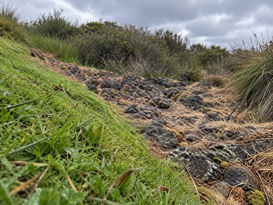 EasyDeep Creek Walk1.2 km · 24 min · 2 km awayA short creekside walk through Torquay’s remnant woodland.
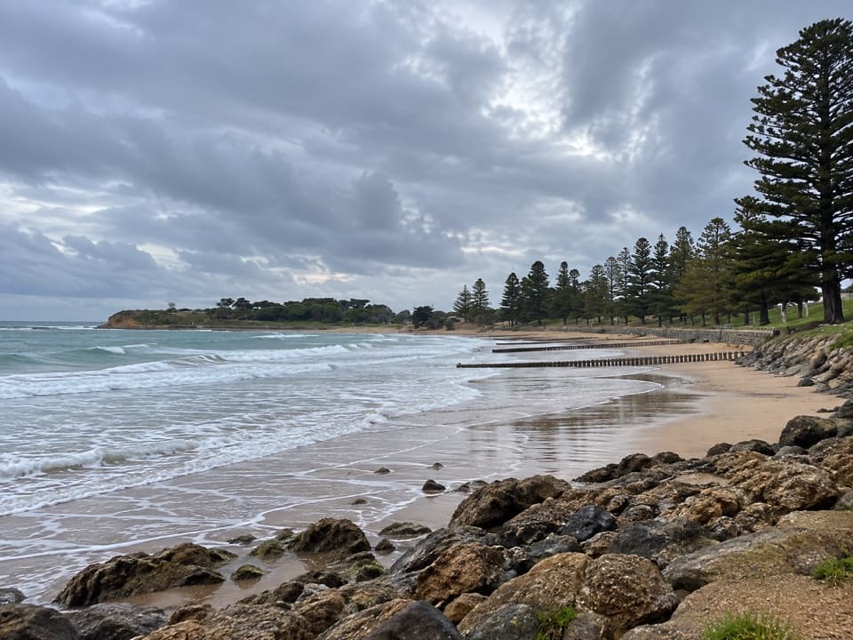 EasyTorquay Promenade Walk1.5 km · 20 min · 2.2 km awayA flat foreshore stroll from Yellow Bluff to Point Danger.
 EasySurf Coasting Walk: Point Danger to Bird Rock3.3 km · 54 min · 3 km awayA short clifftop link from surf beaches to two sweeping coastal lookouts.
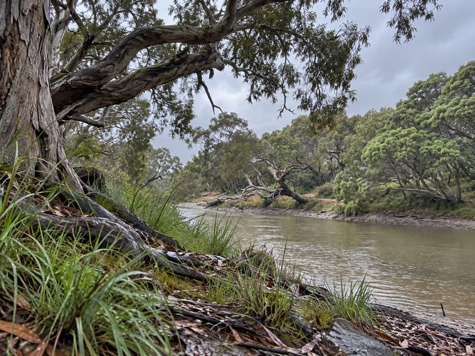 EasySpring Creek Nature Reserve Walk0.9 km · 24 min · 3.6 km awayA short gravel walk beneath moonahs beside Spring Creek.
 EasyThe Bells Track3.2 km · 48 min · 5.3 km awayA 3.2 km clifftop walk from Bird Rock to Bells Beach.
 ModerateIronbark Basin Walk, Bells Beach to Point Addis8.2 km · 2.5 hr · 7.7 km awaySand, steps, sheltered forest, then three Point Addis lookouts.
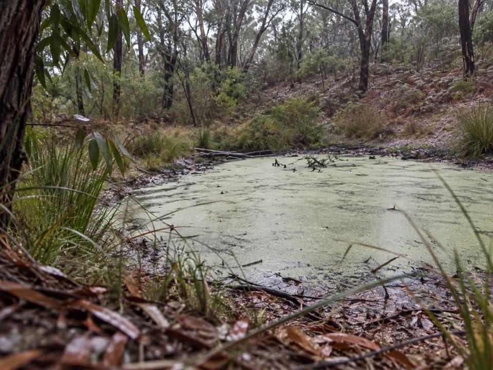 EasyIronbark Basin Nature Trail1.5 km · 1 hr · 10.9 km awayA short bushwalk to a valley dam and old grasstrees
 Beach · 2.5 km awayTorquay Front BeachA town beach with sheltered Cosy Corner at Point Danger.
 Visitor center · 2.8 km awayTorquay Visitor Information CentrePlan your coastal drive with maps and local Surf Coast advice.
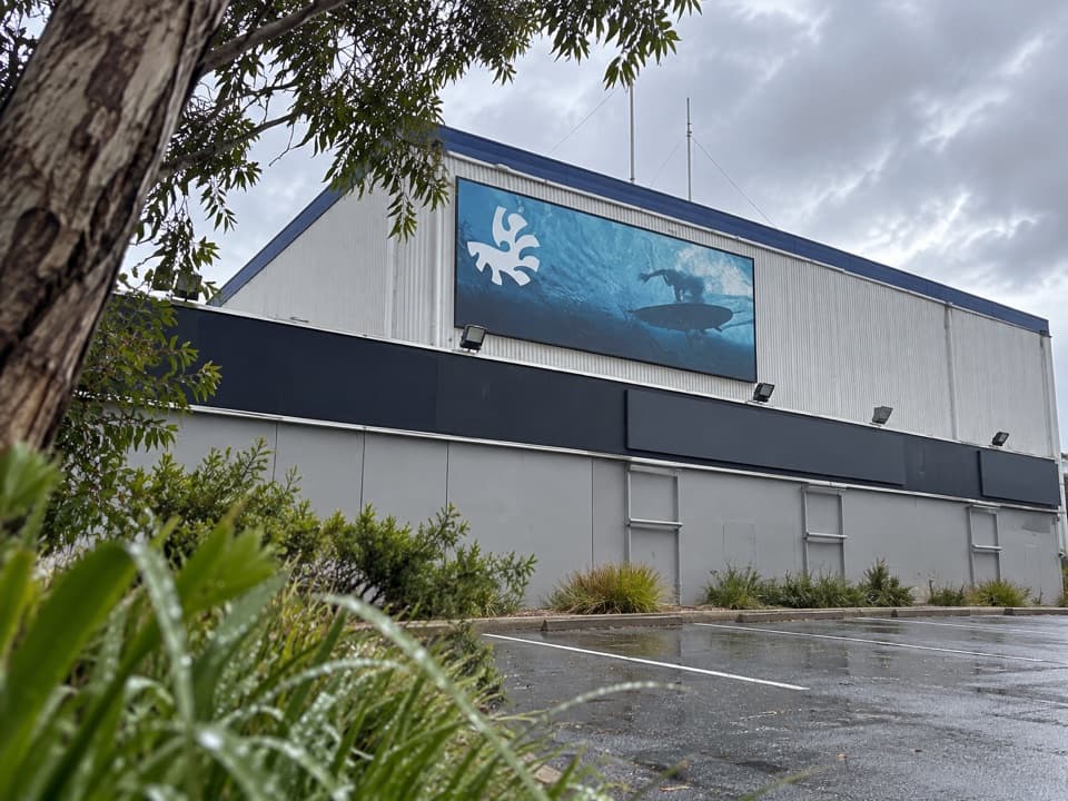 Sight · 2.8 km awayAustralian National Surfing MuseumSurfboard history beneath a breaking wave, with an old Kombi.
 Campground · 3.3 km awayTorquay Foreshore Caravan ParkSleep beside the surf, with Torquay's shops a short walk away.
 Beach · 3.8 km awayTorquay Surf BeachBass Strait surf and a big chapter in Australian surf history.
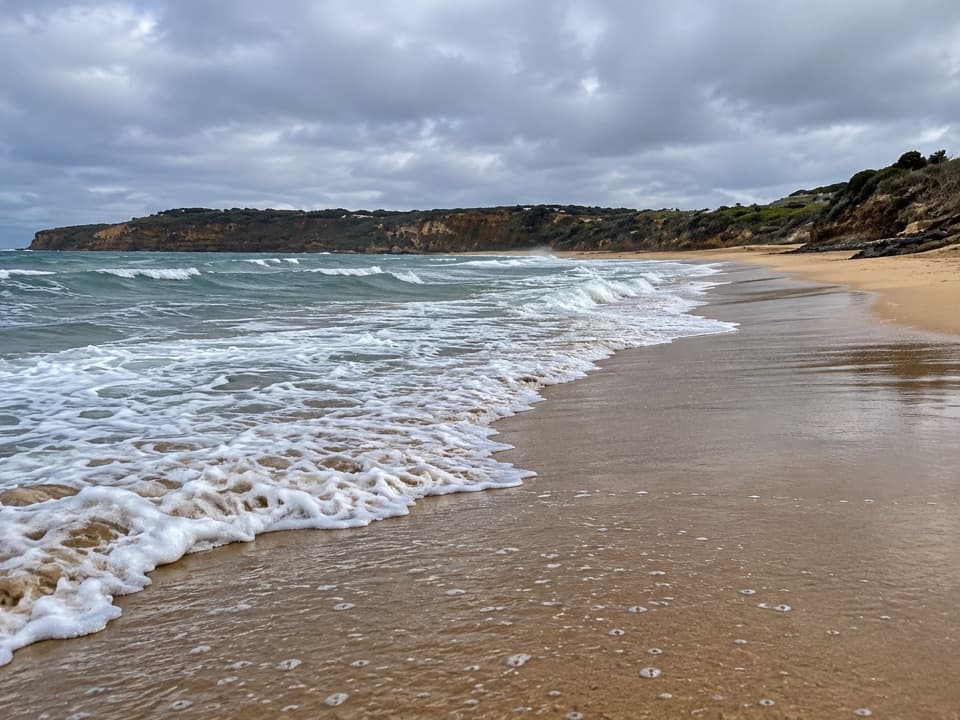 Beach · 4.6 km awayJan Juc BeachA 1.2 km surf beach with a clifftop walk toward Rocky Point.
 Sight · 5.3 km awayBird Rock LookoutWide views over Jan Juc Beach and the Surf Coast
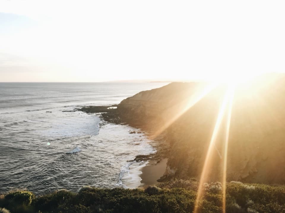 Beach · 7.7 km awayBells BeachA legendary surf break best watched from the clifftop.
Parkwolf’s Great Ocean Road ranking

The audio tour guide for the drive, plus offline maps, trails, and wildlife heatmaps for when the signal drops.




