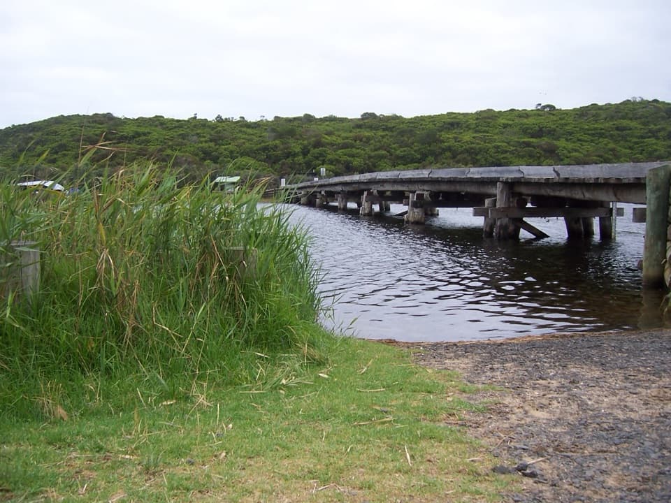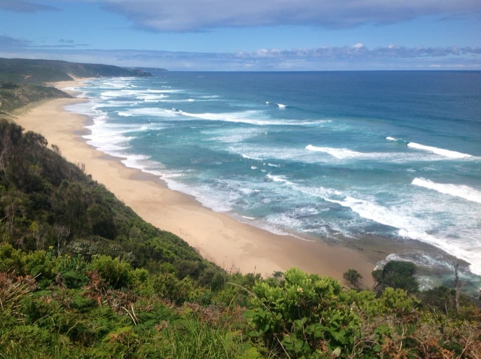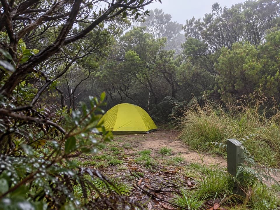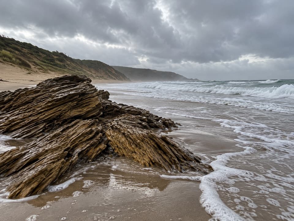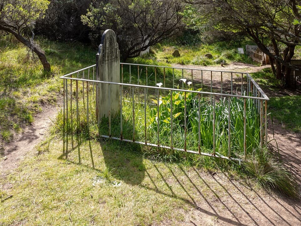
Cape Otway Cemetery in Great Otway National Park

Sight · Great Otway National Park

Cape Otway Cemetery

A cemetery walk puts the lightstation's isolation in view.

Photo: Wikimedia Commons
Type
Sight
Nearest trail
0.6 km
Audio stories
5 nearby
  • Parking
  • Scenic viewpoint

Hear the audio tour

Cape Otway Lightstation

Overview

About Cape Otway Cemetery

Why stop

  • A lookout combines the graves with lighthouse, telegraph station and ocean views.

Heads up

  • The return walk takes about 40 minutes over gravel and sand.

Map

Where it is

Loading the Great Otway map
Full map
SightCape Otway Cemetery-38.84982, 143.51121
Keep this map with you offline in the Parkwolf app

Plan your stop

Before you go

3 active Great Otway alerts

  • ClosureWye Road closed after storm and flood damageWye Road is closed until further notice because recent storm and flood damage requires road maintenance and repair works; plan around the closure.Official details
  • ClosureLorne-area walking trails closed after flood damageSome walking trails near Lorne are closed for public safety after the January 2026 flash floods washed away or severely damaged bridges and walkways.Official details

See all 3 alerts
A park ranger sits on a dash-mounted phone, talking, as Parkwolf’s Tour Guide plays “Army Cutworm Moths: A Grizzly Bear Buffet” on Grand Loop Road below Dunraven Pass in Yellowstone
Parkwolf Tour GuideThe highest, rockiest slopes around here are a summer buffet for grizzly bears.

Great Otway Tour Guide

Your drive to Cape Otway Cemetery, narrated.

Parkwolf is a GPS audio tour guide for Great Otway National Park. As you drive, it chimes in with what’s ahead: hidden gems, upcoming stops, history, geology, and wildlife, right through your car’s speakers.

See the Great Otway audio tour

Recorded for this place

Cape Otway Lightstation
0:00 / 0:36
“You’re approaching Cape Otway Lightstation, where the white lighthouse stands above the meeting of Bass Strait and the Southern Ocean. If maritime history interests you, give the ticketed precinct an hour or two.”

Plays as you drive up to Cape Otway Cemetery in the Parkwolf Great Otway Tour Guide.

More stories near here in the app

  • Bimbi Park: Camping Among Manna Gums
  • The Gull That Drops Its Dinner
  • A Daisy That Grows into a Tree
  • Parker Hill and Crayfish Bay: The Coastal Loop
  • 252 audio storiesacross Great Otway’s roads, triggered by GPS as you drive
  • Wildlife heatmapsfor Koala, Grey Kangaroo, Echidna, and 13 more
  • Works offlinemaps, 83 trails, 79 places, and audio download before you lose signal
  • CarPlay readysimple controls built for the drive
★★★★★
“Fantastic app with many points of information… It’s great to just turn on while you’re driving and it gives you an audio tour of the national Park. We love it!!!!”
JMJamesApp Store review
Download Parkwolf on the App StoreGet Parkwolf on Google Play

4.7 from 8,600+ ratings

Guide

More about Cape Otway Cemetery

The walkCape Otway Cemetery is a historic burial ground reached on foot from the far end of the Cape…

Cape Otway Cemetery is a historic burial ground reached on foot from the far end of the Cape Otway Lightstation car park. The path climbs on gravel to a high point, then descends on sand to the graves. The listed return distance varies from 1.6 to 2.8 km; allow about 40 minutes and follow the marked route. Access notes do not clearly say whether the walk requires Lightstation admission, so check before setting out.

The lookoutThe high point comes before the cemetery and looks toward the lighthouse, the historic…

The high point comes before the cemetery and looks toward the lighthouse, the historic telegraph station and the ocean. The route passes through beard heath, then turns downhill on sand toward the graves. You can turn around at the lookout if that is the part you came for.

A remote lightkeeping communityThe cemetery is linked to the people who lived at this remote station: lighthouse keepers,…

The cemetery is linked to the people who lived at this remote station: lighthouse keepers, their families and other residents of the Cape in the 19th century. The light began operating in 1848 and was decommissioned in January 1994, after the longest continuous run of any light on the Australian mainland.

Wildlife

Wildlife in Great Otway

All Great Otway wildlife maps

Sighting maps show where each species has been reported across Great Otway. Wildlife moves, so no sighting is guaranteed.

Keep exploring

Near Cape Otway Cemetery

See it all on the map

Trails nearby

More stops nearby

Parkwolf’s Great Otway ranking

Top sights in Great Otway

All 79 places
  1. 1Cape Otway LightstationSight
  2. 2Erskine FallsSight
  3. 3Hopetoun FallsSight
  4. 4Triplet FallsSight
  5. 5Aire Valley RedwoodsSight
  6. 6Lake ElizabethSight

Take Parkwolf to Great Otway.

The audio tour guide for the drive, plus offline maps, trails, and wildlife heatmaps for when the signal drops.

4.7 from 8,600+ ratings

Download Parkwolf on the App StoreGet Parkwolf on Google Play