Parking
Park near Bundjil Mirr Lookout on Alcoa Boundary Track. From Anglesea, use Noble Street and Harvey Street to Mt Ingoldsby Road, then No. 2 Road and Bald Hills Road; the approach roads are gravel.
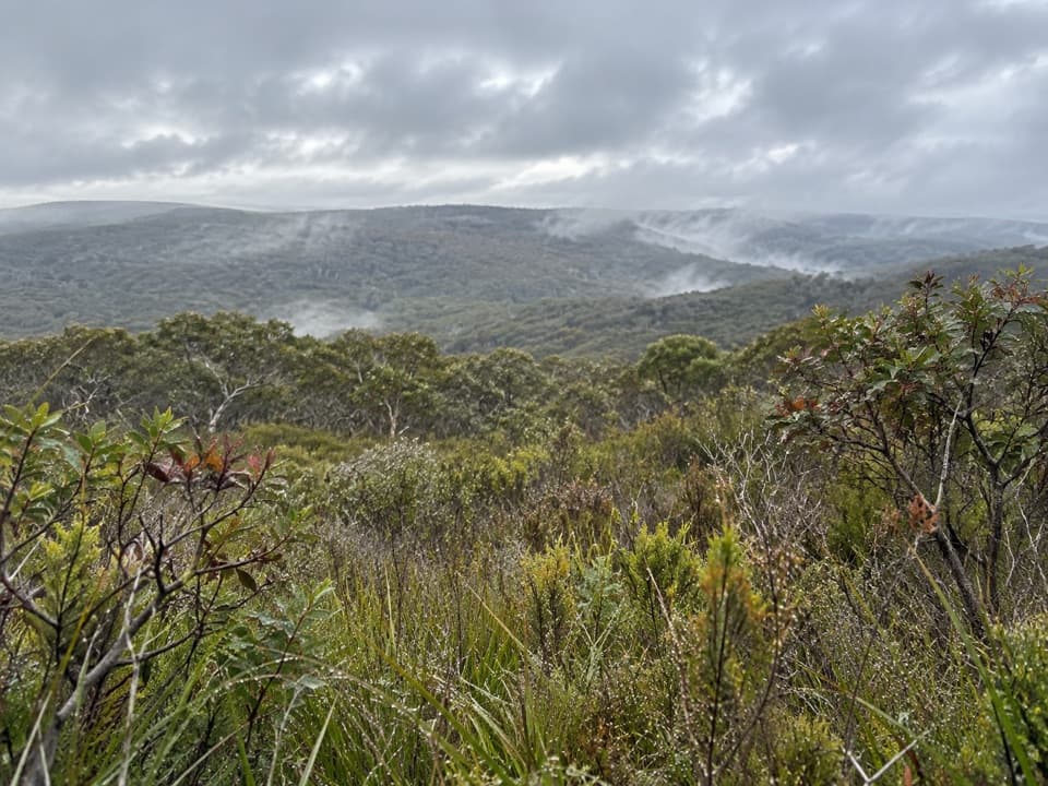
Great Otway National Park, VIC
Heath ridges, Salt Creek and coast views on a 4.5 km loop
Overview
Map & elevation
Plan your hike

The highest, rockiest slopes around here are a summer buffet for grizzly bears.
Great Otway Tour Guide
Parkwolf is a GPS audio tour guide for Great Otway National Park. As you drive, it chimes in with what’s ahead: hidden gems, upcoming stops, history, geology, and wildlife, right through your car’s speakers.
See the Great Otway audio tourRecorded for this area
Which Sheoak Carries the Cones?“A drooping sheoak with woody cones is a female tree. This species carries male and female flowers on separate plants. Male trees have little brownish flowering spikes at the ends of their branches.”
Plays on the road 3.1 km from the trailhead in the Parkwolf Great Otway Tour Guide.
More stories near here in the app
“Fantastic app with many points of information… It’s great to just turn on while you’re driving and it gives you an audio tour of the national Park. We love it!!!!”


Trail guide
Yan Wirring Mirr is a 4.5 km loop from Bundjil Mirr Lookout through open heath, damp gullies and the Salt Creek catchment. The first 375 m is shared on the way out and back before the circuit branches. It is an easy-to-moderate walk; plan on about two hours, and longer if you stop for flowers and views.
The lookout gives you the broadest view, across Bald Hills, Anglesea, the coast and the rehabilitated Alcoa mine landscape. It is the best place to take in the whole setting at once.
The path undulates through grass-trees, banksias and open heath, then drops into damper gullies with Scented Paperbark. Farther along, the ground gets sandy and you reach taller eucalypts, tea-tree and Tassel Rope-rush. Look for the distinctive foliage of Satinwood beside the track.
The Salt Creek crossing and several smaller watercourses are the dampest sections; the path can be wet at the creek, where frogs call from the gully. Spring brings the strongest wildflower display. The walk opened in 2021 and was named with Wadawurrung Traditional Owners: Yan Wirring Mirr means “walk, listen, look.” A 2026 plant report recorded Pink Swamp-heath here, previously known from only one other Surf Coast site.
Park near Bundjil Mirr Lookout on Alcoa Boundary Track. From Anglesea, follow Noble Street and Harvey Street onto Mt Ingoldsby Road, then No. 2 Road and Bald Hills Road to Alcoa Boundary Track; the approach uses gravel roads. Dogs are not allowed in this part of Great Otway National Park. Clean your footwear at the hygiene station before and after the walk to help limit Cinnamon Fungus.
Wildlife
 204 sightingsKoalaMost seen around 6 PMSighting map
 35 sightingsGrey KangarooMost seen around 6 AMSighting map
 109 sightingsEchidnaMost seen around 5 PMSighting map
 58 sightingsKookaburraMost seen around 6 AMSighting map
 97 sightingsSwamp WallabyMost seen around 6 PMSighting map
 20 sightingsBrushtail PossumMost seen around 8 PMSighting map
Sighting maps show where each species has been reported across Great Otway. Wildlife moves, so no sighting is guaranteed.
Keep exploring
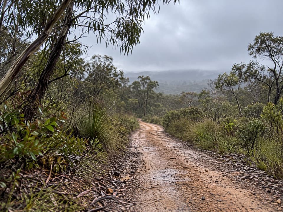 ModerateHaggarts–Allardyce Tracks7 km · 2.5 hr · 4 km awayA heathland through-walk with ocean views and unusual Otways wildflowers.
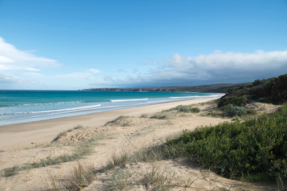 ModerateAnglesea to Aireys Inlet Walk13.4 km · 4 hr · 4.3 km awaySand, scrub, old-road remnants and a lighthouse make a full coast day.
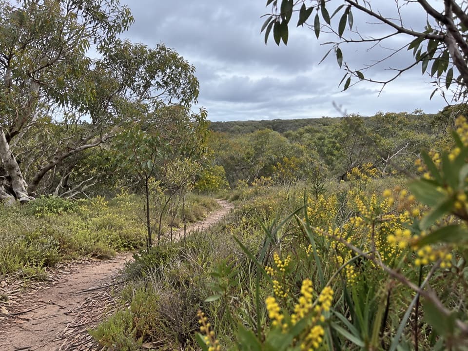 ModerateAnglesea Perimeter Walk22 km · 6.5 hr · 4.6 km awayA full-day circuit linking heath, wetlands and coast.
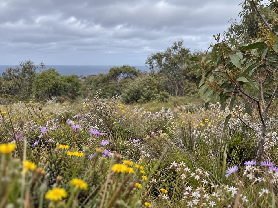 EasySpringtime Wildflower Experience2.5 km · 1 hr · 4.8 km awayAn easy heathland loop with spring orchids and a coastal outlook.
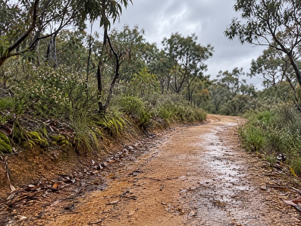 ModerateShiney Eye Circuit9.3 km · 3.5 hr · 5.3 km awayHeathland flowers and Anglesea views, with a steep finish
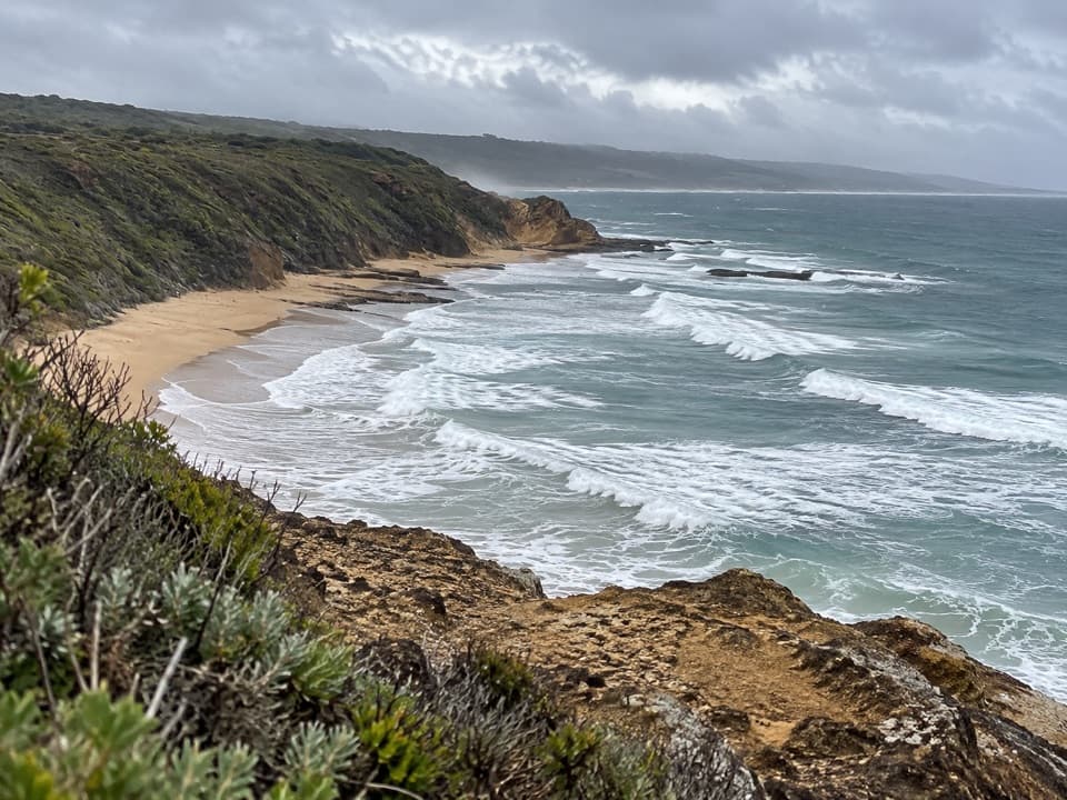 ModerateUrquhart Circuit4.5 km · 1.5 hr · 5.9 km awayRock bridges, low-tide beaches, and a boardwalk through coastal heath.
 EasyTed’s Ridge Track1.6 km · 45 min · 6.9 km awayA short heathland walk with a spring orchid payoff.
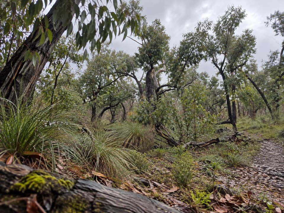 ModerateDistillery Creek – Ted’s Ridge Track Circuit4 km · 1.5 hr · 7.3 km awayA short woodland loop with coastal views, wattles and orchids.Beach · 5.1 km awayGuvvos BeachA long, open stretch of sand with a lookout above the surf.
 Beach · 5.9 km awayUrquhart BluffLong beach, bluffside surf and rockpools revealed at low tide.
 Sight · 6.5 km awayCurrawong FallsA long fern-gully circuit with a rain-fed waterfall.
 Beach · 7.7 km awaySunnymead BeachA quiet cove of reefs and rock pools, reached by steep steps.
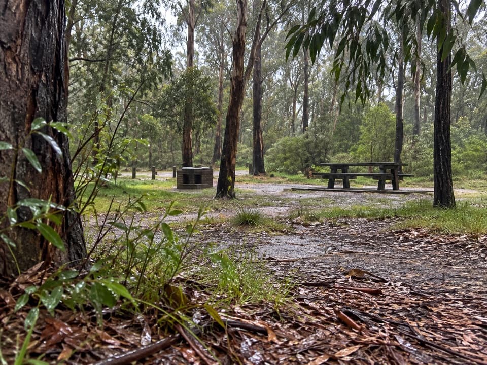 Picnic area · 8 km awayDistillery Creek Picnic AreaA picnic base for ironbark walks and the longer falls circuit.
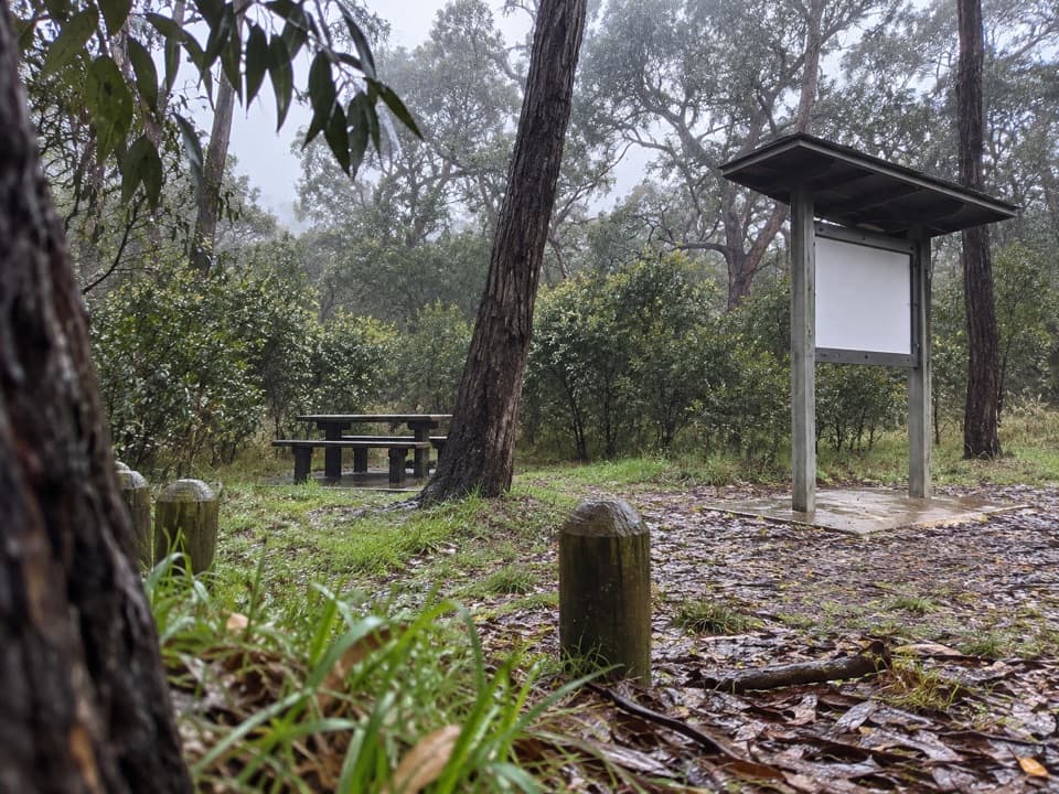 Picnic area · 8.8 km awayIronbark Basin Picnic AreaA picnic break with a short loop into ironbark woodland.
 Sight · 9.5 km awayPoint Addis Visitor AreaA clifftop boardwalk opens up Point Addis’s limestone coast.
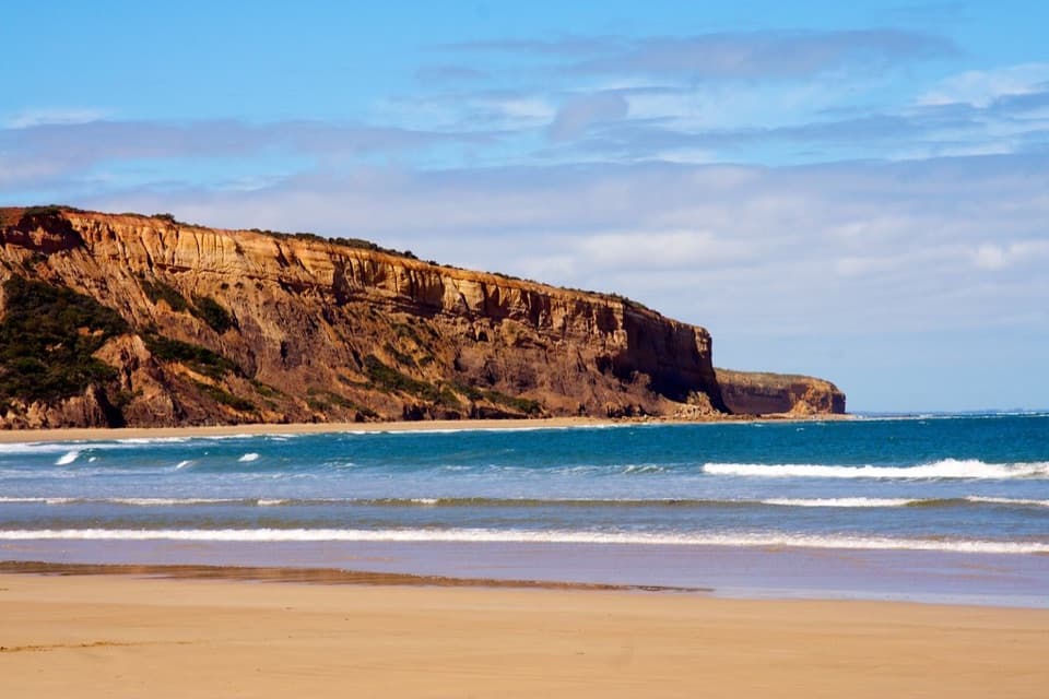 Beach · 10.8 km awayAddiscot BeachA long curve of sand beneath red cliffs and low-tide rockpools.
Parkwolf’s Great Otway ranking

The audio tour guide for the drive, plus offline maps, trails, and wildlife heatmaps for when the signal drops.





