Urquhart Circuit in Great Otway National Park

Great Otway National Park, VIC

Urquhart Circuit

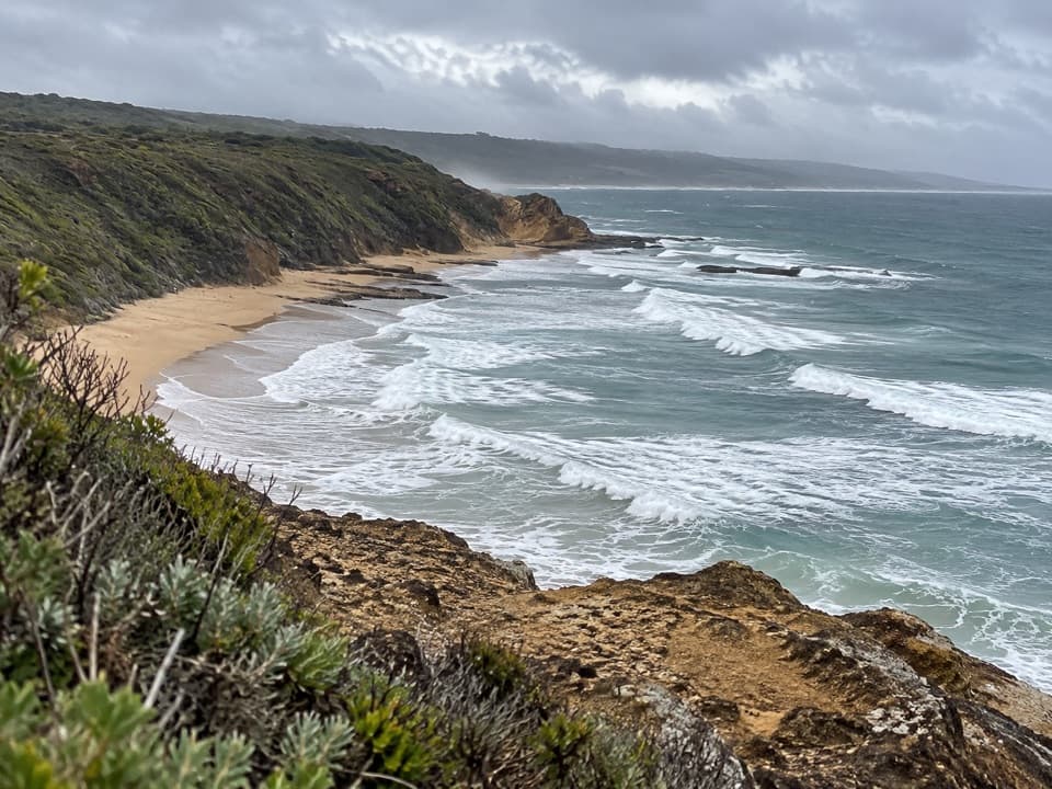
Rock bridges, low-tide beaches, and a boardwalk through coastal heath.

Length
4.5km
Time
1.5hr
Elev. change
52m
Difficulty
Moderate
  • Loop
  • High point 60 m

Hear the audio tour

Urquhart Bluff: Beach or Lookout

Overview

About Urquhart Circuit

Why go

  • A compact loop links Mermaid Pool, rocky shelves, a rock bridge and arch.
  • The inland boardwalk adds dunes, coastal heath and a Point Roadknight view.

Heads up

  • The beach crossing is tide-dependent and includes slippery, uneven rock shelves.

Map & elevation

The route

Loading the Great Otway map
Full map
Elevation8–60 m
TrailheadUrquhart Bluff Lower Car Park-38.43618, 144.13105
Keep this map with you offline in the Parkwolf app

Plan your hike

Before you go

Parking

Start at Urquhart Bluff Lower Car Park off the Great Ocean Road, about 3.2 km west of O’Donohue Road. The toilet block is beside the inland-track entrance. Parking capacity and fees were not found; no food or drink outlet was found at the trailhead.

Safety

The beach section should only be attempted at low tide. The rocky shelves are uneven and can be slippery, especially after rain; there is no formal track on part of this stretch. Stay well back from the water’s edge. If the tide blocks passage at the bluff, take the inland track in both directions instead.

3 active Great Otway alerts

  • ClosureWye Road closed after storm and flood damageWye Road is closed until further notice because recent storm and flood damage requires road maintenance and repair works; plan around the closure.Official details
  • ClosureLorne-area walking trails closed after flood damageSome walking trails near Lorne are closed for public safety after the January 2026 flash floods washed away or severely damaged bridges and walkways.Official details
See all 3 alerts
A park ranger sits on a dash-mounted phone, talking, as Parkwolf’s Tour Guide plays “Army Cutworm Moths: A Grizzly Bear Buffet” on Grand Loop Road below Dunraven Pass in Yellowstone
Parkwolf Tour GuideThe highest, rockiest slopes around here are a summer buffet for grizzly bears.

Great Otway Tour Guide

Your drive to Urquhart Circuit, narrated.

Parkwolf is a GPS audio tour guide for Great Otway National Park. As you drive, it chimes in with what’s ahead: hidden gems, upcoming stops, history, geology, and wildlife, right through your car’s speakers.

See the Great Otway audio tour

Recorded for this trailhead

Urquhart Bluff: Beach or Lookout
0:00 / 0:28
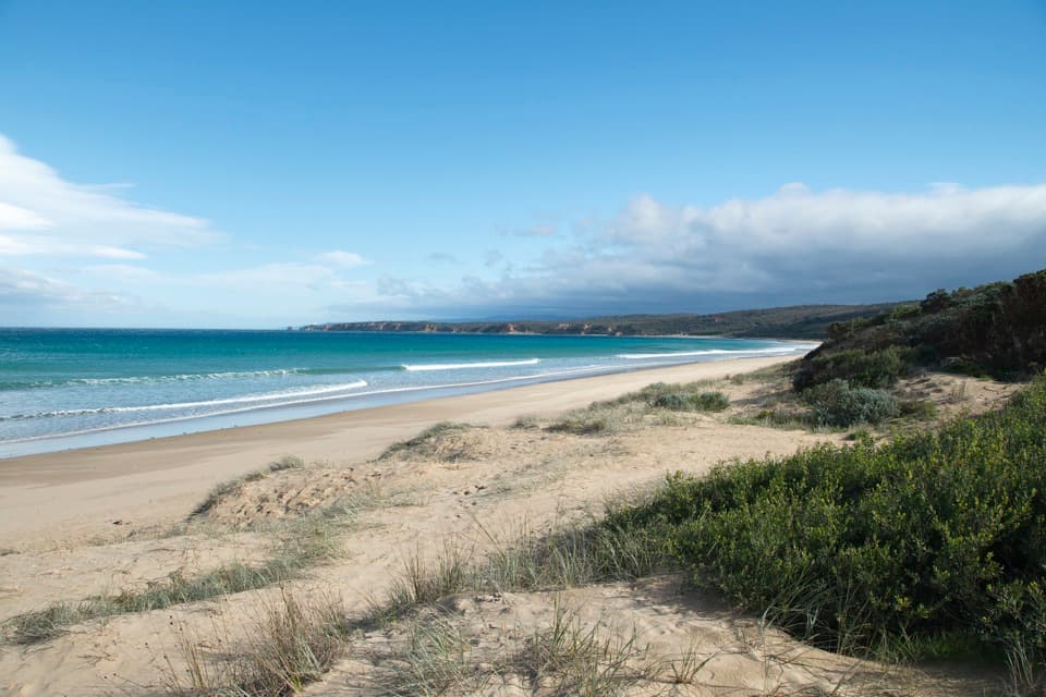
“You're nearing the beach access for Urquhart Bluff, a long sandy shore beneath a scrub-covered bluff. Choose this stop for a beach wander, especially at low tide, when rock shelves and pools give you more to explore.”

Plays as you drive up to this trailhead in the Parkwolf Great Otway Tour Guide.

More stories near here in the app

  • The Magpie Listening to the Ground
  • The Crabs That March Forwards
  • The Naming Ship’s Sliding Keels
  • A Mistletoe Taps the Water Supply
  • 252 audio storiesacross Great Otway’s roads, triggered by GPS as you drive
  • Wildlife heatmapsfor Koala, Grey Kangaroo, Echidna, and 13 more
  • Works offlinemaps, 83 trails, 79 places, and audio download before you lose signal
  • CarPlay readysimple controls built for the drive
★★★★★
“Fantastic app with many points of information… It’s great to just turn on while you’re driving and it gives you an audio tour of the national Park. We love it!!!!”
JMJamesApp Store review
Download Parkwolf on the App StoreGet Parkwolf on Google Play

4.7 from 8,600+ ratings

Trail guide

Hiking Urquhart Circuit

The low-tide circuitUrquhart Circuit is a 2.8-mile (4.

Urquhart Circuit is a 2.8-mile (4.5 km) loop from the lower Urquhart Bluff car park, pairing a beach and rocky-shelf crossing to Sunnymead with an inland boardwalk and heathland return. Allow about 1.5 hours. The walk is easy to moderate overall, but the beach section is the part that decides whether you can complete the loop: attempt it only at low tide. The route can be walked either way; check the tide before starting. If water blocks the bluff, use the inland track in both directions instead of trying to cross the shore.

Mermaid Pool and the rocky shoreWalk about 100 metres along the beach from the car park to the bluff, then continue west past…

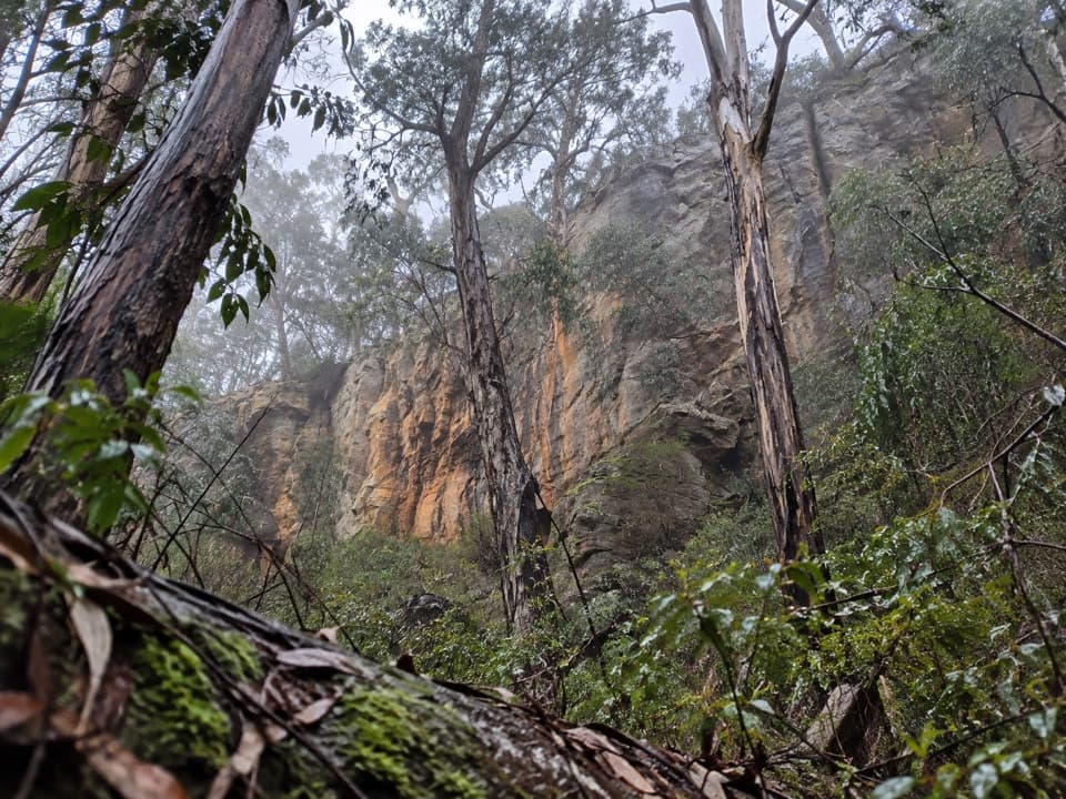
Walk about 100 metres along the beach from the car park to the bluff, then continue west past Mermaid Pool. The sand gives way to uneven rocks and a slippery platform; the next stretch follows an informal rocky shelf below the cliffs. Keep well back from the water's edge. A rock bridge crosses above the ocean beside a rock pillar, then a descent leads to Sunnymead Beach and its rock arch. Rain can make that descent slippery. This is a short walk with a surprisingly hands-on coast section, not an easy stroll on firm sand.

Boardwalk, heath and the way backFrom Sunnymead, continue along the beach to the signed inland track.

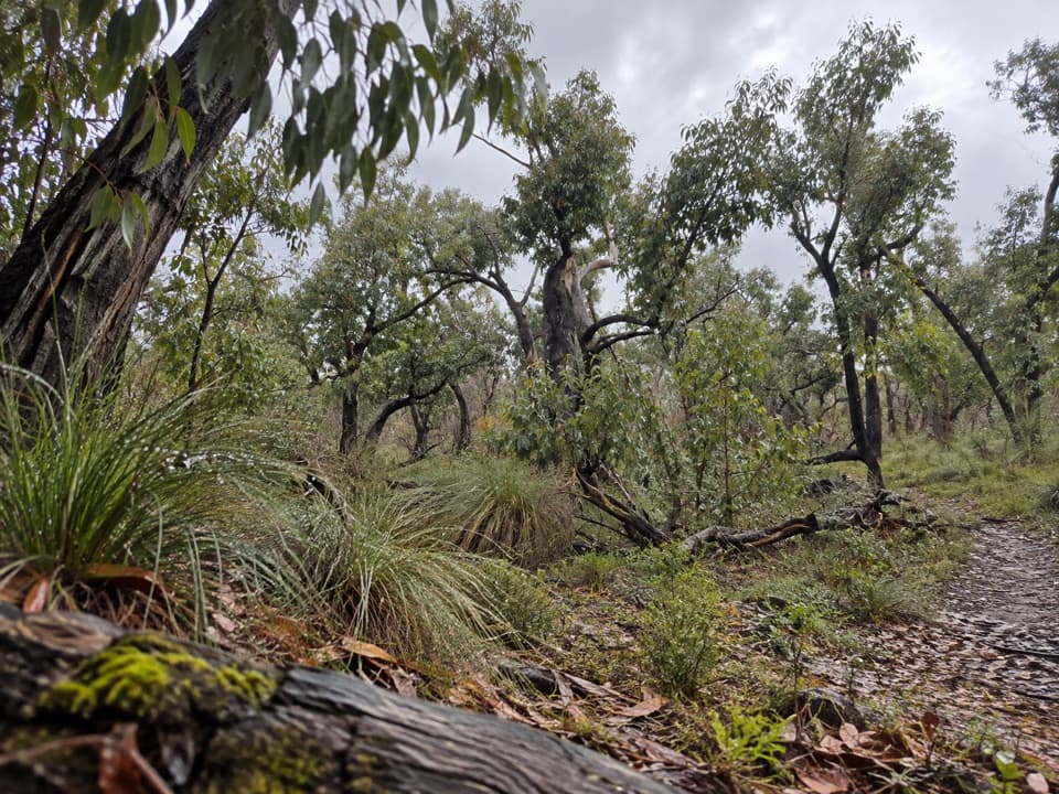
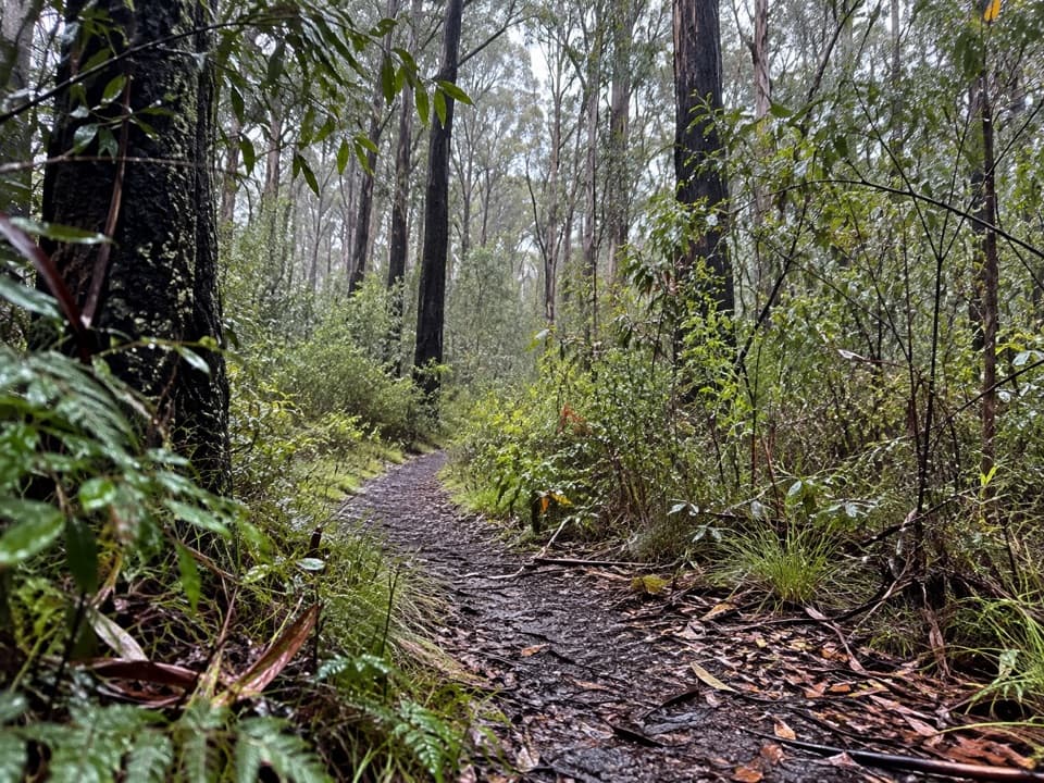
From Sunnymead, continue along the beach to the signed inland track. Its boardwalk crosses the dunes through Moonah and ironbark, then steps climb into coastal heath with banksia and tea-tree. Turn before private property; orchids and birds are among the things to notice in the thicker vegetation. Near the Great Ocean Road, there are glimpses through messmate and tea-tree. Around the 4 km mark, a seat looks through she-oaks toward Point Roadknight before the track drops back to the car park. The lower car park is off the Great Ocean Road, about 3.2 km west of O'Donohue Road; the toilet block is beside the inland track. Food and drink outlets were not found at the start.

Wildlife

Wildlife in Great Otway

All Great Otway wildlife maps

Sighting maps show where each species has been reported across Great Otway. Wildlife moves, so no sighting is guaranteed.

Keep exploring

Near Urquhart Circuit

See it all on the map

Trails that start nearby

Places near the trailhead

Parkwolf’s Great Otway ranking

Top-rated trails in Great Otway

All 83 trails
  1. 1Great Ocean WalkChallenging · 100 km
  2. 2Maits Rest Rainforest WalkEasy · 0.8 km
  3. 3Triplet Falls WalkModerate · 1.8 km
  4. 4Hopetoun Falls WalkModerate · 0.8 km
  5. 5Madsen’s Track Nature WalkModerate · 1.4 km
  6. 6Lake Elizabeth Loop WalkEasy · 4.7 km

Take Parkwolf to Great Otway.

The audio tour guide for the drive, plus offline maps, trails, and wildlife heatmaps for when the signal drops.

4.7 from 8,600+ ratings

Download Parkwolf on the App StoreGet Parkwolf on Google Play