Parking
Devils Kitchen GOW Campground is reached on foot and has no vehicle access. Arrange a pickup or shuttle from the Twelve Apostles visitor facility at the point-to-point finish.
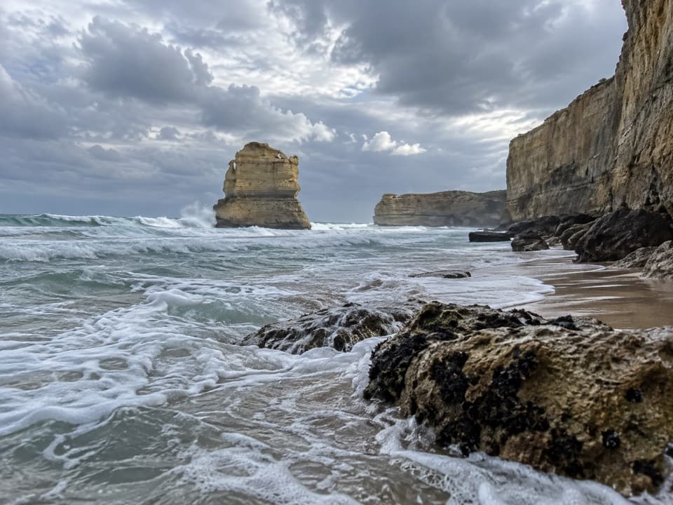
Great Otway National Park, VIC
Sixteen coastal kilometres to the Twelve Apostles, with a sandy finish
Overview
Map & elevation
Plan your hike

The highest, rockiest slopes around here are a summer buffet for grizzly bears.
Great Otway Tour Guide
Parkwolf is a GPS audio tour guide for Great Otway National Park. As you drive, it chimes in with what’s ahead: hidden gems, upcoming stops, history, geology, and wildlife, right through your car’s speakers.
See the Great Otway audio tourRecorded for this area
Wreck Beach: Two Anchors Below the Cliffs“Wreck Beach car park is ahead, the start of a steep walk to two shipwreck anchors. Allow about an hour, with more than three hundred and fifty steps down and the same climb back.”
Plays on the road 1.4 km from the trailhead in the Parkwolf Great Otway Tour Guide.
More stories near here in the app
“Fantastic app with many points of information… It’s great to just turn on while you’re driving and it gives you an audio tour of the national Park. We love it!!!!”


Trail guide
This is the Great Ocean Walk’s last westbound stage, about 16 km one way from Devils Kitchen GOW Campground to the Twelve Apostles. Allow five to six hours, then finish at the visitor area; this route does not return to its starting point. It’s a good choice if you want a full coastal day and a changing walk. It’s moderate rather than technical, but the distance and repeated sandy climbs add up. If you only want the famous stacks, the short viewing boardwalks at the finish are a much easier way to see them.
Devils Kitchen is a hike-in campground, with no road access to the start. Treat this as a through-stage, not a drive-up day walk: sort out how you’ll reach the camp and arrange a pickup or shuttle from the Twelve Apostles before setting off. Carry food and enough drinking water for the walk; there is no meal stop along the track. The visitor centre at the finish has toilets and a cafe, but those are after the walk. If you stay at the campground, its rainwater is untreated, so bring a way to make it safe to drink. Dogs are not permitted in the national parks along this route.
The opening seven kilometres undulate beside the coast, with ocean views opening between sections of scrub. The track passes the access toward Rivernook Beach, but this stage stays on the walking track rather than making a beach walk. Boot-cleaning stations on this early section help prevent the spread of cinnamon fungus, which can damage native plants; clean your footwear where the stations ask you to.
Near Princetown, the route turns inland toward the Gellibrand River and crosses it on a bridge. The ground gets sandier, then the final six kilometres climb and dip through dune country. Expect soft sand, steep sandy steps and occasional boardwalks. It feels more workmanlike here than the clifftop start, especially once day visitors, roads and cars become more noticeable near the Apostles. The finish passes beneath the Great Ocean Road and follows the visitor-area path to the viewing platforms.
From the public boardwalks, look back along the cliff coast at the offshore stacks. They are limestone, formed from accumulated shells, coral and other marine remains, then shaped by the Southern Ocean. The formations keep eroding, so the name does not describe a permanent set of twelve columns. For a useful photo, include a piece of the cliff edge or viewing platform with the stacks to show their scale. Fog can briefly hide the view, so leave a little slack if seeing the formations matters to you.
Wildlife
 204 sightingsKoalaMost seen around 6 PMSighting map
 35 sightingsGrey KangarooMost seen around 6 AMSighting map
 109 sightingsEchidnaMost seen around 5 PMSighting map
 58 sightingsKookaburraMost seen around 6 AMSighting map
 97 sightingsSwamp WallabyMost seen around 6 PMSighting map
 20 sightingsBrushtail PossumMost seen around 8 PMSighting map
Sighting maps show where each species has been reported across Great Otway. Wildlife moves, so no sighting is guaranteed.
Keep exploring
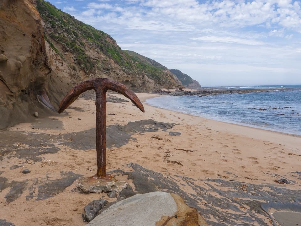 ChallengingWreck Beach Walk2 km · 1 hr · 1.4 km awayHundreds of steps to two shipwreck anchors on a wild coastal beach.
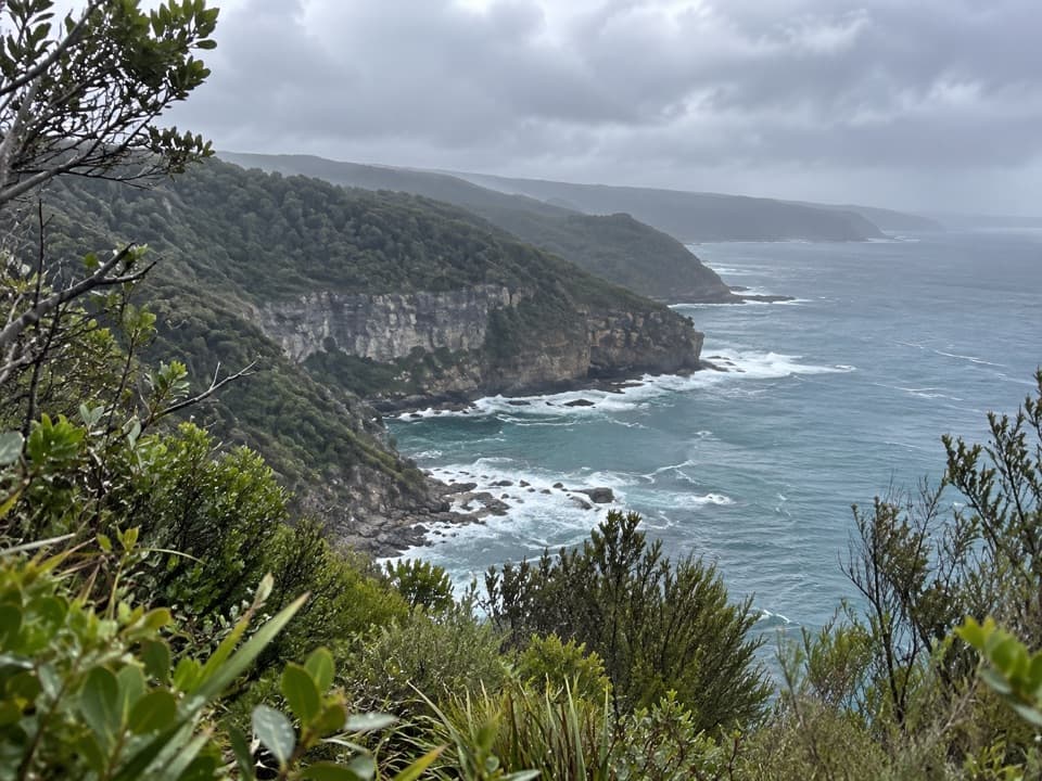 EasyThe Gables Lookout Walk0.8 km · 30 min · 2.2 km awayA short sheoak walk to reefs above Moonlight Head.ChallengingRyan’s Den to Devil’s Kitchen13 km · 5.3 hr · 6.6 km awayRugged Great Ocean Walk stage with cliff views and tide-bound anchors.
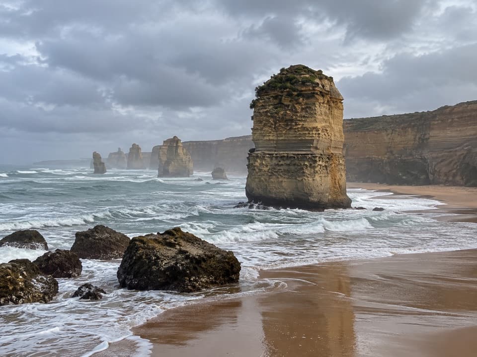 ModeratePrincetown to the Twelve Apostles7.6 km · 2.5 hr · 6.9 km awayFinish on the cliffs above the Twelve Apostles.
 ChallengingMilanesia Beach to Ryan’s Den6.4 km · 2.5 hr · 10.3 km awayA hard coastal walk from Milanesia Beach to Ryan’s DenModerateMilanesia Beach Walk3.4 km · 1.5 hr · 10.3 km awayA steep coastal track drops to a quiet beach, then climbs back.
 ModerateMadsen’s Track Nature Walk1.4 km · 35 min · 15.2 km awayA ferny rainforest circuit past Anne’s Cascades and the Big Tree.
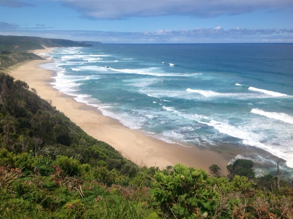 ChallengingJohanna Beach to Ryans Den14 km · 5.5 hr · 15.3 km awayA long coastal traverse with a river lookout and hike-in finish.
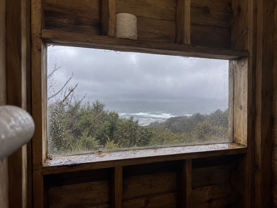 Campground · At the trailheadDevils Kitchen Hike-in CampgroundA booked walk-in camp with a coast view from its toilet window.Beach · 1 km awayWreck BeachTwo wreck anchors reward the steep stairs at low tide.
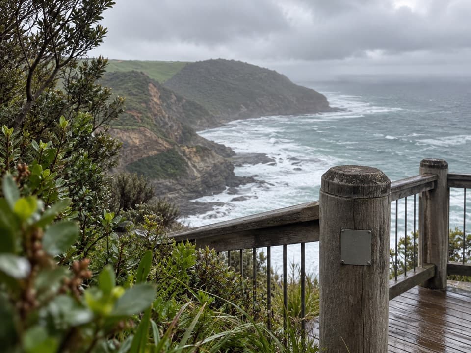 Sight · 2.2 km awayThe Gables LookoutA sheoak-lined detour to reefs and big Southern Ocean views.
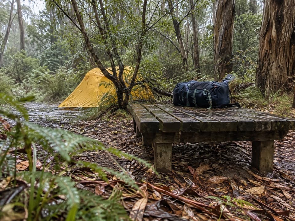 Campground · 6.6 km awayRyans Den Hike-in CampgroundA quiet ridge camp with ocean views between long coastal stages.Beach · 9.6 km awayMilanesia BeachA long, tide-timed beach crossing on the Great Ocean Walk.
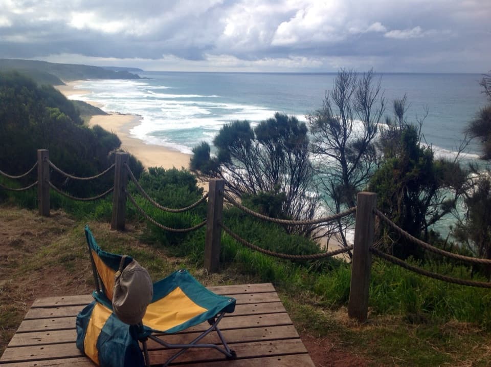 Campground · 14.5 km awayJohanna Beach Hike-in CampgroundA booked ridge camp with a broad Johanna Beach outlook.
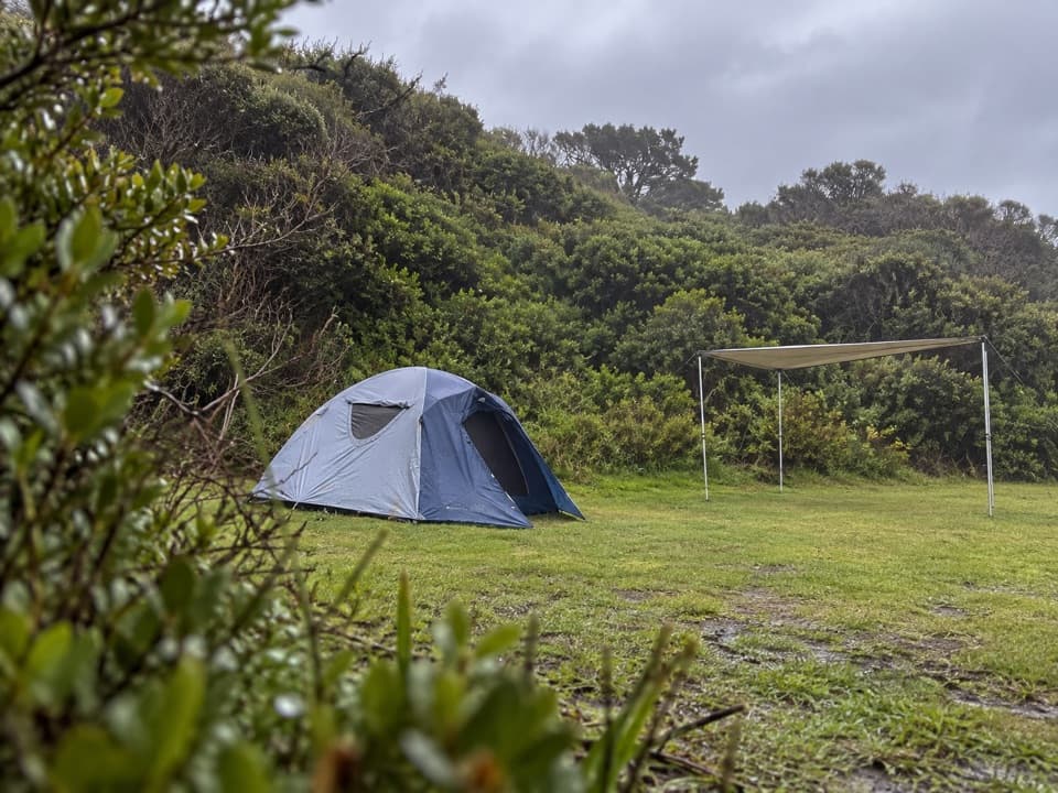 Campground · 15.3 km awayJohanna Beach CampgroundTwenty-five unpowered sites behind dunes near Johanna Beach.
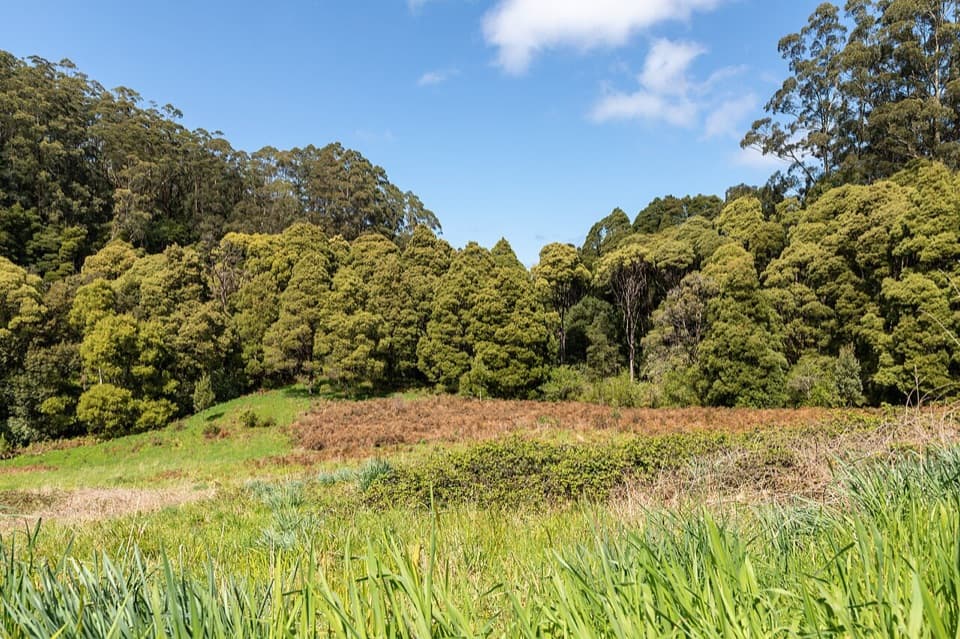 Picnic area · 15.3 km awayMelba Gully Day Visitor AreaA short rainforest loop doubles as a glow-worm walk after dark.
Parkwolf’s Great Otway ranking

The audio tour guide for the drive, plus offline maps, trails, and wildlife heatmaps for when the signal drops.




