Parking
From the Great Ocean Road, turn at the Moonlight Head sign about 34 km east of Port Campbell, then follow 4.5 km of gravel road to Wreck Beach Car Park, the walk’s starting point.
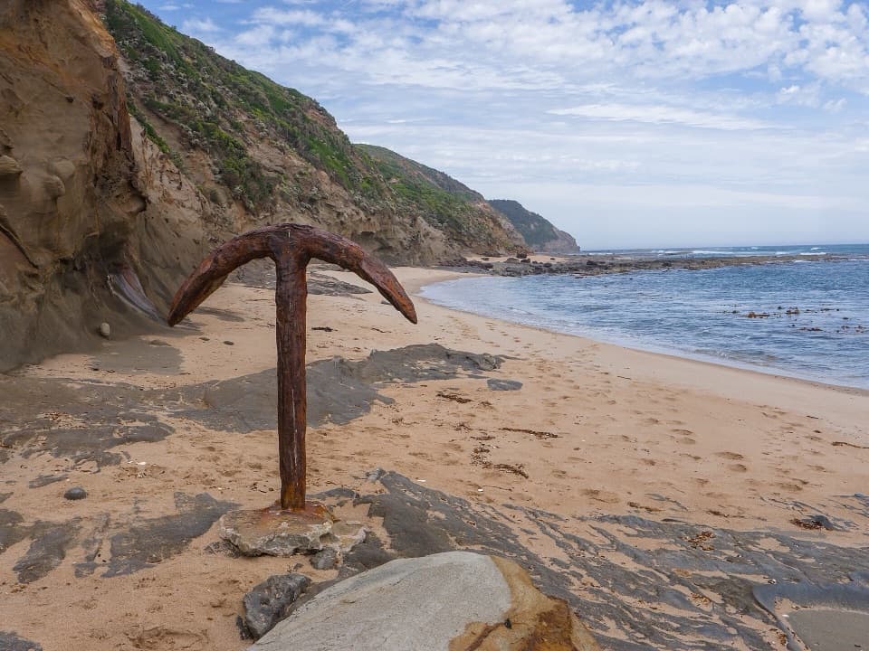
Great Otway National Park, VIC
Hundreds of steps to two shipwreck anchors on a wild coastal beach.
Overview
Wreck Beach Walk is an approximately 2 km out-and-back from Wreck Beach Car Park, down a long stairway and west along the sand to two shipwreck anchors. It is short on the map and hard on the legs: the staircase has about 366 steps, and every one is waiting on the way back up. Give it about an hour with time for the beach. I’d choose it for the anchors and cliffs, but only if you can fit the walk inside a safe tide and sea-condition window.
 Parkwolf’s verdictIs this the hike for you?
Map & elevation
Plan your hike

The highest, rockiest slopes around here are a summer buffet for grizzly bears.
Great Otway Tour Guide
Parkwolf is a GPS audio tour guide for Great Otway National Park. As you drive, it chimes in with what’s ahead: hidden gems, upcoming stops, history, geology, and wildlife, right through your car’s speakers.
See the Great Otway audio tourRecorded for this trailhead
Wreck Beach: Two Anchors Below the Cliffs“Wreck Beach car park is ahead, the start of a steep walk to two shipwreck anchors. Allow about an hour, with more than three hundred and fifty steps down and the same climb back.”
Plays as you drive up to this trailhead in the Parkwolf Great Otway Tour Guide.
More stories near here in the app
“Fantastic app with many points of information… It’s great to just turn on while you’re driving and it gives you an audio tour of the national Park. We love it!!!!”


Trail guide
A short access track reaches the stairs. At the bottom, follow the beach west to the Marie Gabrielle anchor, then farther along to the Fiji anchor. The footing shifts from sand to uneven reef and rock near the anchors. The route stays on sand and uneven reef near the anchors, then returns up the same long staircase.
The anchors are not an all-tide destination. High water can cut off access along the beach, and rough seas make the route dangerous; wet rocks can be slippery. Check both tide and surf before setting off, and don’t swim here. If water is rising into your return corridor, turn back before the way out becomes a squeeze.
The French barque Marie Gabrielle wrecked here in 1869. Her crew waited for daylight before reaching shore in the ship’s boat, and the anchor remains on the beach. The Fiji was lost near Moonlight Head in 1891; its shore anchor was set into the reef as a memorial in 1961, while the wreck rests offshore. For a photo, give the Fiji anchor some room in the frame so the cliffs and sea show where you are.
From the Great Ocean Road, turn at the Moonlight Head sign about 34 km east of Port Campbell. Follow the 4.5 km gravel road to Wreck Beach Car Park; that is the walk’s trailhead. This is in a national park, so dogs aren’t allowed.
Wildlife
 204 sightingsKoalaMost seen around 6 PMSighting map
 35 sightingsGrey KangarooMost seen around 6 AMSighting map
 109 sightingsEchidnaMost seen around 5 PMSighting map
 58 sightingsKookaburraMost seen around 6 AMSighting map
 97 sightingsSwamp WallabyMost seen around 6 PMSighting map
 20 sightingsBrushtail PossumMost seen around 8 PMSighting map
Sighting maps show where each species has been reported across Great Otway. Wildlife moves, so no sighting is guaranteed.
Keep exploring
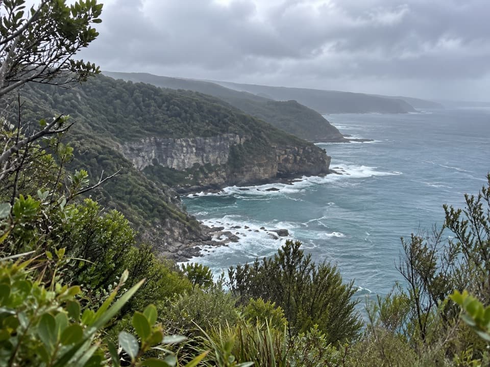 EasyThe Gables Lookout Walk0.8 km · 30 min · 0.8 km awayA short sheoak walk to reefs above Moonlight Head.
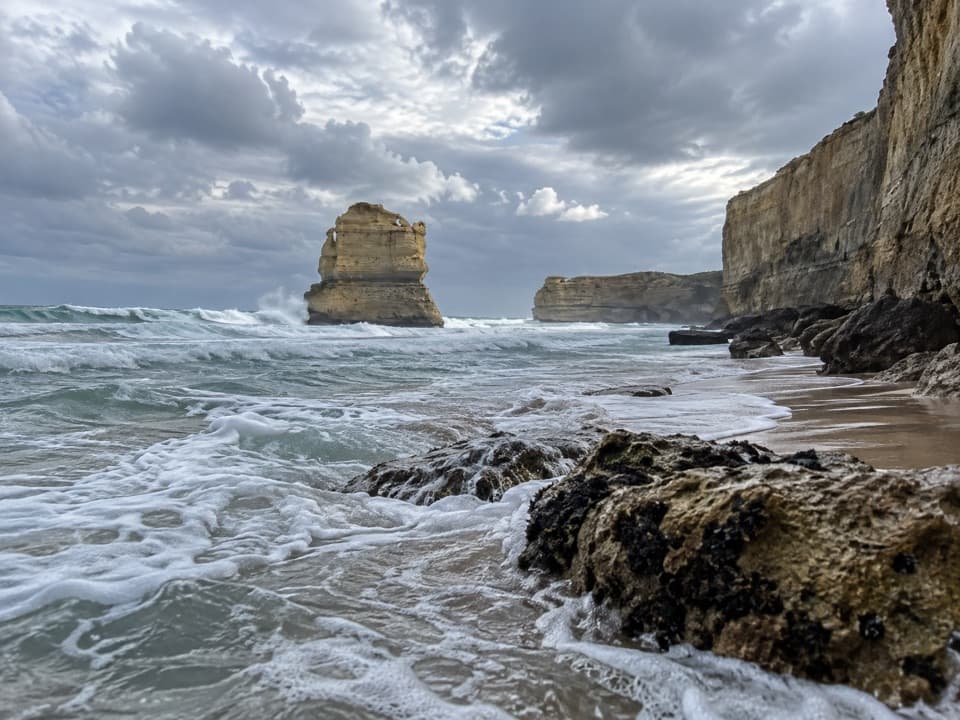 ModerateDevil's Kitchen to Twelve Apostles16 km · 5.5 hr · 1.4 km awaySixteen coastal kilometres to the Twelve Apostles, with a sandy finishChallengingRyan’s Den to Devil’s Kitchen13 km · 5.3 hr · 5.5 km awayRugged Great Ocean Walk stage with cliff views and tide-bound anchors.
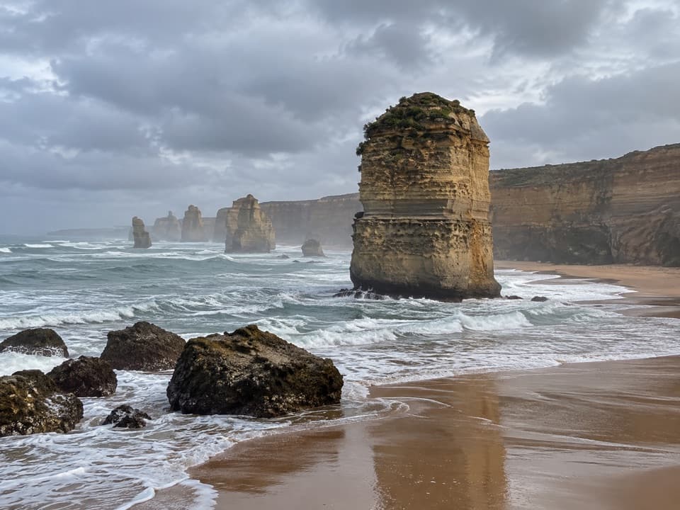 ModeratePrincetown to the Twelve Apostles7.6 km · 2.5 hr · 8.2 km awayFinish on the cliffs above the Twelve Apostles.
 ChallengingMilanesia Beach to Ryan’s Den6.4 km · 2.5 hr · 9.5 km awayA hard coastal walk from Milanesia Beach to Ryan’s DenModerateMilanesia Beach Walk3.4 km · 1.5 hr · 9.5 km awayA steep coastal track drops to a quiet beach, then climbs back.
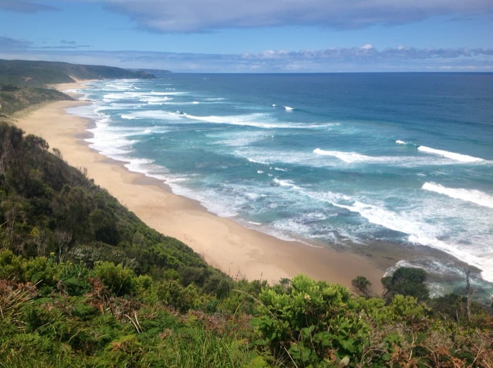 ChallengingJohanna Beach to Ryans Den14 km · 5.5 hr · 14.3 km awayA long coastal traverse with a river lookout and hike-in finish.ModerateJohanna Beach to Milanesia Beach10.4 km · 3.5 hr · 14.3 km awayA hilltop sea view and a remote beach reached on foot.Beach · 0.5 km awayWreck BeachTwo wreck anchors reward the steep stairs at low tide.
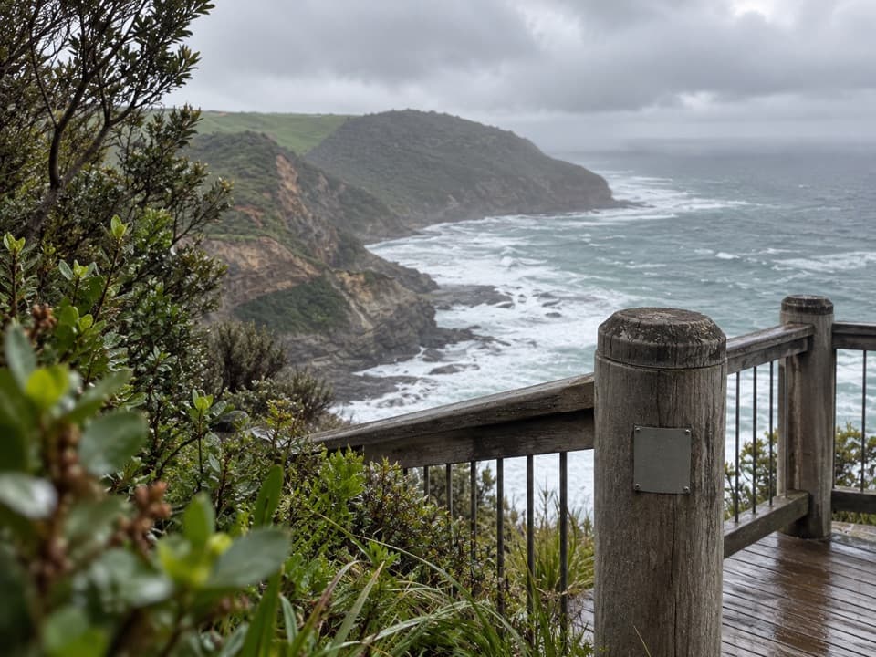 Sight · 0.8 km awayThe Gables LookoutA sheoak-lined detour to reefs and big Southern Ocean views.
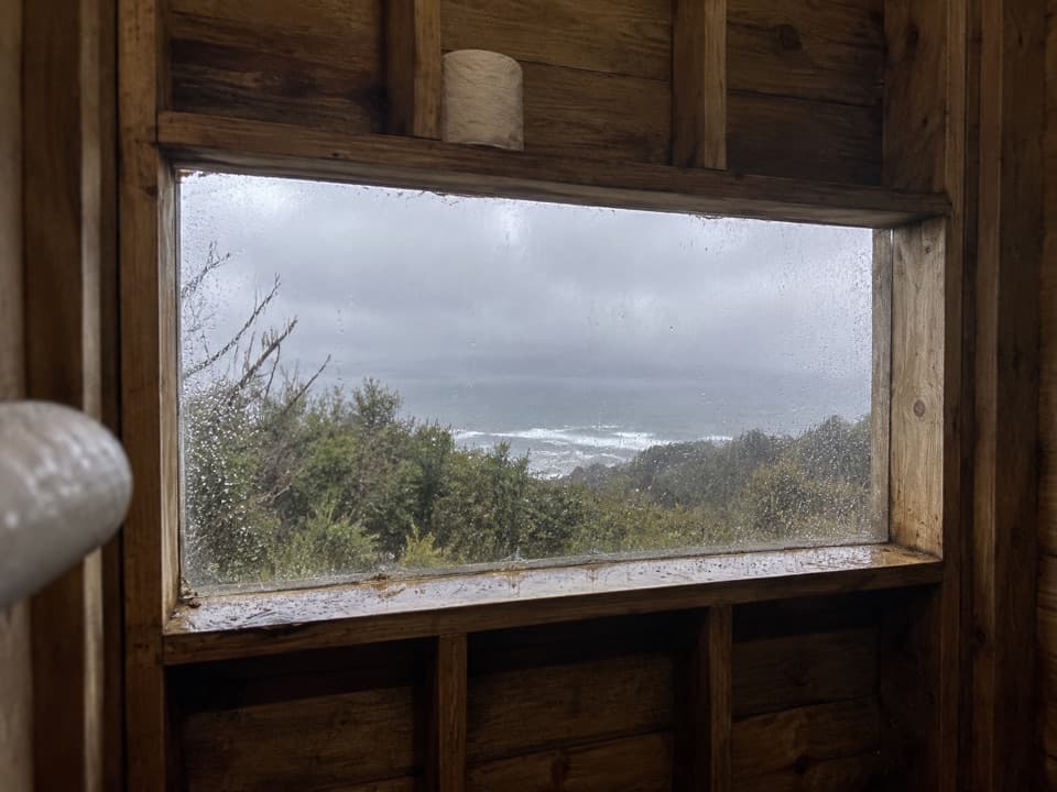 Campground · 1.4 km awayDevils Kitchen Hike-in CampgroundA booked walk-in camp with a coast view from its toilet window.
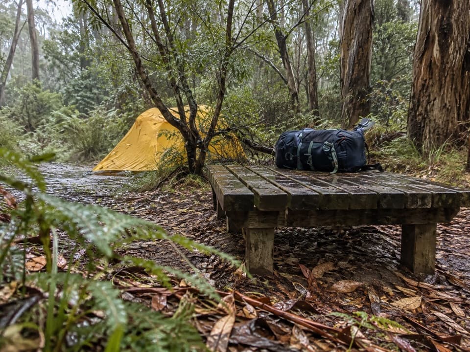 Campground · 5.5 km awayRyans Den Hike-in CampgroundA quiet ridge camp with ocean views between long coastal stages.Beach · 8.6 km awayMilanesia BeachA long, tide-timed beach crossing on the Great Ocean Walk.
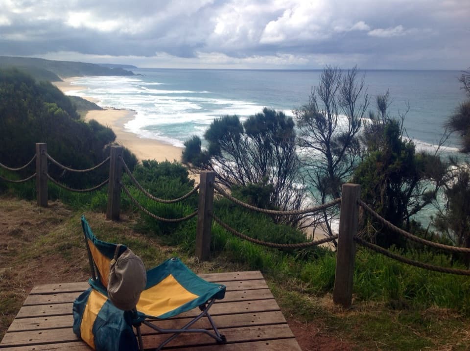 Campground · 13.5 km awayJohanna Beach Hike-in CampgroundA booked ridge camp with a broad Johanna Beach outlook.
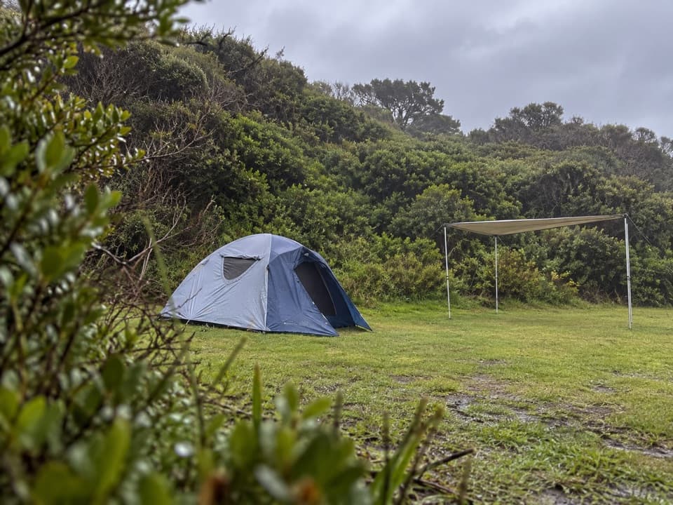 Campground · 14.3 km awayJohanna Beach CampgroundTwenty-five unpowered sites behind dunes near Johanna Beach.
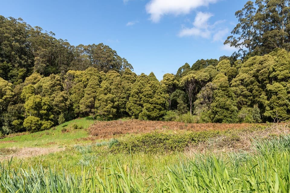 Picnic area · 14.8 km awayMelba Gully Day Visitor AreaA short rainforest loop doubles as a glow-worm walk after dark.
Parkwolf’s Great Otway ranking
The audio tour guide for the drive, plus offline maps, trails, and wildlife heatmaps for when the signal drops.





