Milanesia Beach to Ryan’s Den in Great Otway National Park

Great Otway National Park, VIC

Milanesia Beach to Ryan’s Den

A hard coastal walk from Milanesia Beach to Ryan’s Den

Photo: Wikimedia Commons
Length
6.4km
Time
2.5hr
Elev. change
180m
Difficulty
Challenging
  • No dogs
  • High point 180 m
  • #39 of 83 in Great Otway

Hear the audio tour

Milanesia Beach: A Steep Coastal Walk

Overview

About Milanesia Beach to Ryan’s Den

Why go

  • A real beach crossing between steep coastal stretches.
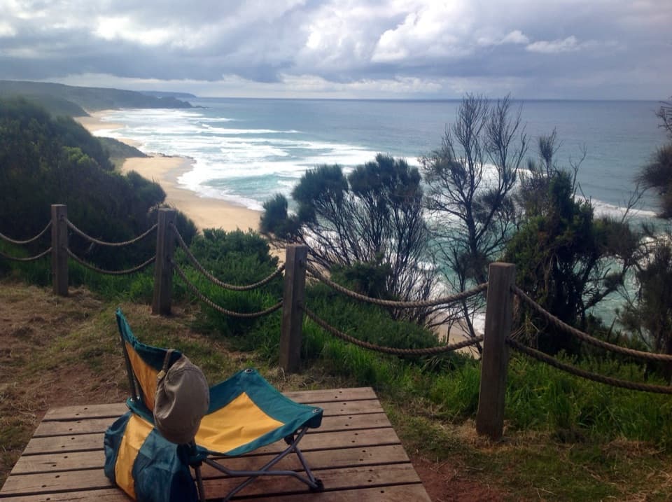
  • Ridge-top ocean views at the remote Ryan’s Den camp.

Heads up

  • The beach crossing depends on tide and calm surf.
  • One-way logistics are awkward at a remote, car-free camp.

Map & elevation

The route

Loading the Great Otway map
Full map
Elevation0–180 m
TrailheadMilanesia Beach Access Gate-38.74384, 143.32328
Keep this map with you offline in the Parkwolf app

Plan your hike

Before you go

Parking

Start at Milanesia Beach Access Gate on Melanesia Track. The approach is unpaved; parking capacity and reliable vehicle directions were not established, so confirm access before driving. Ryan’s Den has no road access; arrange a pickup or continue on the Great Ocean Walk.

Safety

About 300 m of beach walking is generally passable only under normal tides and calm weather. Do not cross if surf or tide makes it unsafe. The route then climbs and drops steeply. Dogs are not permitted on this route.

3 active Great Otway alerts

  • ClosureWye Road closed after storm and flood damageWye Road is closed until further notice because recent storm and flood damage requires road maintenance and repair works; plan around the closure.Official details
  • ClosureLorne-area walking trails closed after flood damageSome walking trails near Lorne are closed for public safety after the January 2026 flash floods washed away or severely damaged bridges and walkways.Official details
See all 3 alerts
A park ranger sits on a dash-mounted phone, talking, as Parkwolf’s Tour Guide plays “Army Cutworm Moths: A Grizzly Bear Buffet” on Grand Loop Road below Dunraven Pass in Yellowstone
Parkwolf Tour GuideThe highest, rockiest slopes around here are a summer buffet for grizzly bears.

Great Otway Tour Guide

Your drive to Milanesia Beach to Ryan’s Den, narrated.

Parkwolf is a GPS audio tour guide for Great Otway National Park. As you drive, it chimes in with what’s ahead: hidden gems, upcoming stops, history, geology, and wildlife, right through your car’s speakers.

See the Great Otway audio tour

Recorded for this trailhead

Milanesia Beach: A Steep Coastal Walk
0:00 / 0:27
“You're approaching the Hiders Access Road turnoff for Milanesia Beach, still a drive and a steep walk away.”

Plays as you drive up to this trailhead in the Parkwolf Great Otway Tour Guide.

More stories near here in the app

  • The Bird That Runs for Cover
  • The Surf Sorts the Sand
  • The Whale with a Smooth Back
  • The Flower Visitor with Two Wings
  • 252 audio storiesacross Great Otway’s roads, triggered by GPS as you drive
  • Wildlife heatmapsfor Koala, Grey Kangaroo, Echidna, and 13 more
  • Works offlinemaps, 83 trails, 79 places, and audio download before you lose signal
  • CarPlay readysimple controls built for the drive
★★★★★
“Fantastic app with many points of information… It’s great to just turn on while you’re driving and it gives you an audio tour of the national Park. We love it!!!!”
JMJamesApp Store review
Download Parkwolf on the App StoreGet Parkwolf on Google Play

4.7 from 8,600+ ratings

Trail guide

Hiking Milanesia Beach to Ryan’s Den

The routeThis is a 4.0 mi (6.

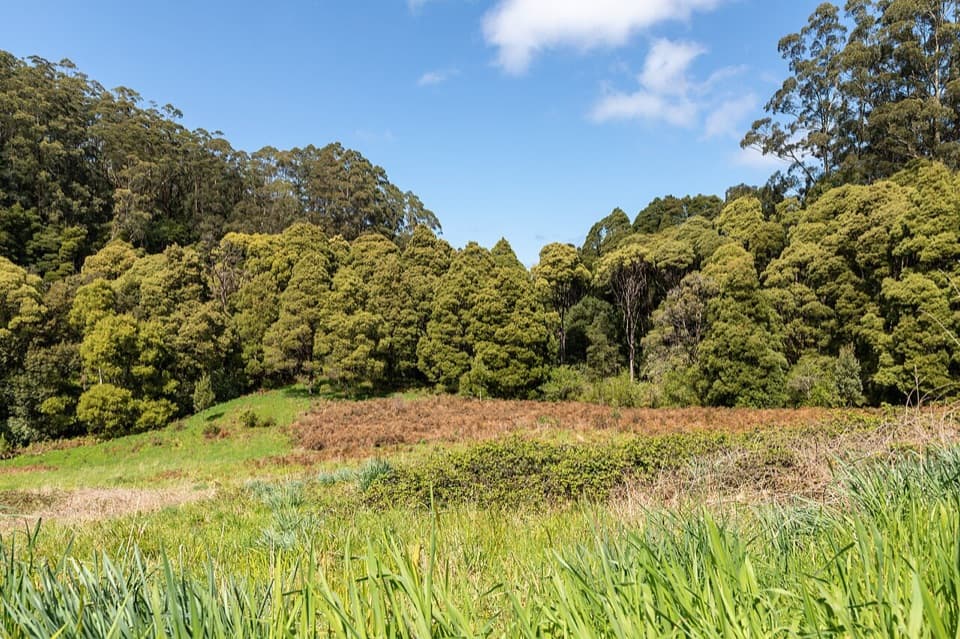
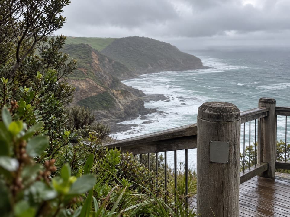
This is a 4.0 mi (6.4 km) one-way section of the Great Ocean Walk, from Milanesia Beach Access Gate to the Ryan’s Den campground approach. The first stretch follows the unpaved Melanesia Track down to the coast; after about 300 m of beach walking, the route climbs and dips through coastal scrub to the ridge-top camp approach. Allow 2½ to 3 hours. It’s a hard walk for its distance, with repeated steep rises and descents. Ryan’s Den has no vehicle access, so arrange a pickup or continue along the Great Ocean Walk.
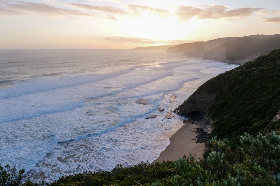
The beach crossingThe roughly 300 m beach crossing depends on the sea and is generally passable only with normal…

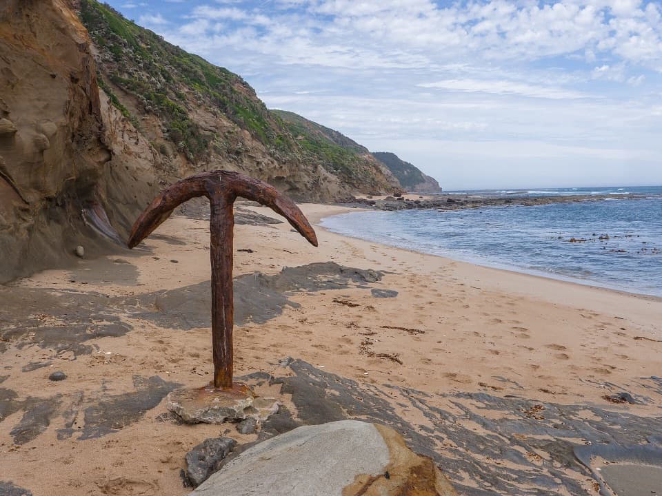
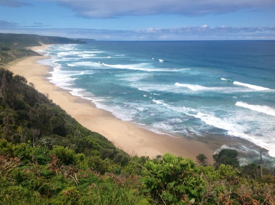
The roughly 300 m beach crossing depends on the sea and is generally passable only with normal tides and calm weather. Check conditions before setting out and turn back if the surf or tide makes the crossing unsafe. An old cottage by the beach is private property; admire it from the public route and leave it alone.

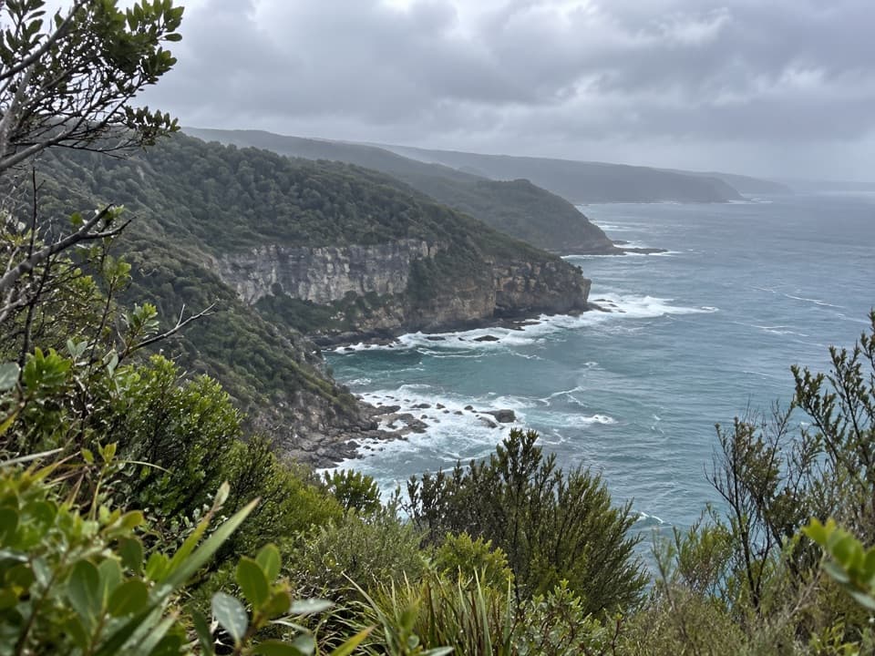
The climb to Ryan’s DenBeyond the beach, the track keeps rising and dropping through coastal scrub.

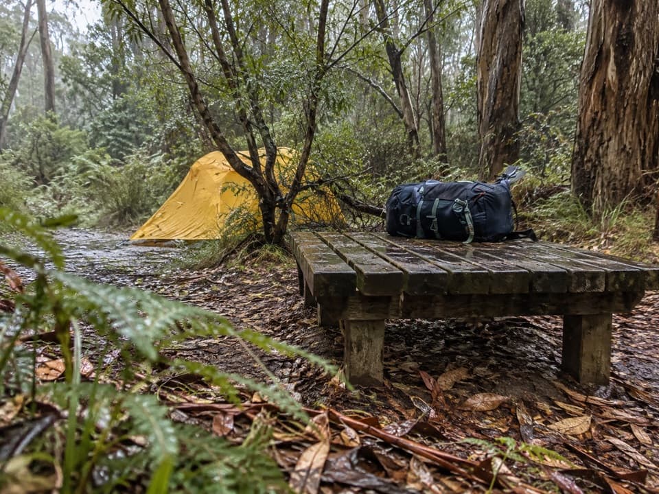
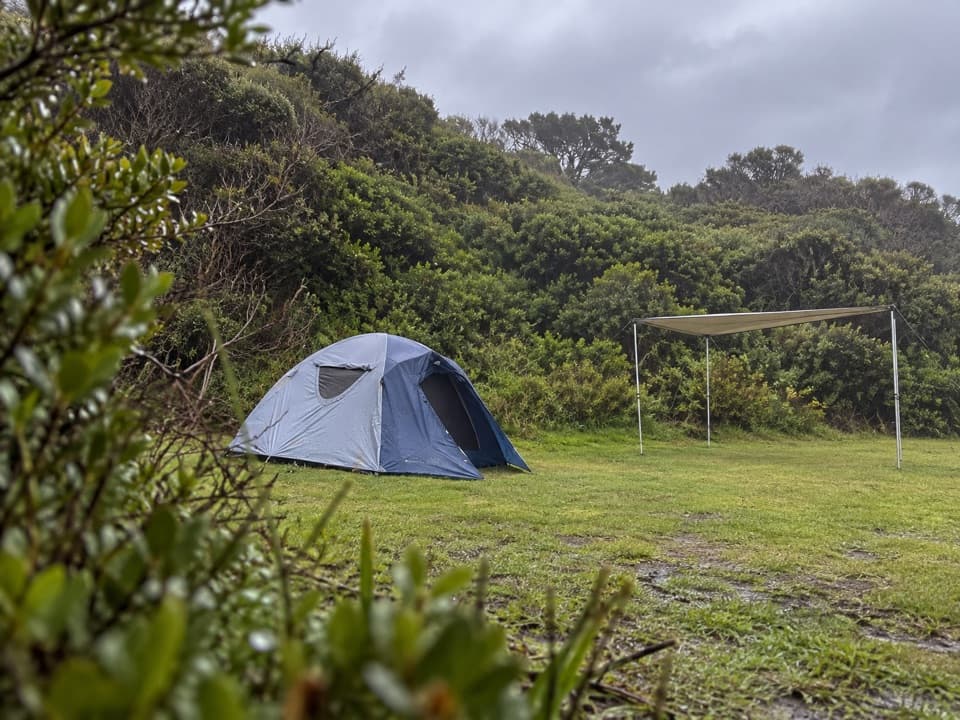
Beyond the beach, the track keeps rising and dropping through coastal scrub. The mileage makes this look easier than it feels; save time and energy for the climbs. Ryan’s Den sits on a ridge with ocean views and is a remote hike-in campground. Its tank water is untreated, so treat it before drinking.

Plan the handoffThe named start is Milanesia Beach Access Gate. This is a point-to-point walk, not a loop.

The named start is Milanesia Beach Access Gate. This is a point-to-point walk, not a loop. A day hike needs a pickup or a separately planned return; walking back adds another 4.0 mi and repeats the beach crossing, so account for the tide in both directions.

Check the distanceSome published descriptions give 9.5–10 km for a similarly named Melanesia-to-Ryan’s Den stage.

Some published descriptions give 9.5–10 km for a similarly named Melanesia-to-Ryan’s Den stage. This record follows the mapped 6.4 km line from the access gate to the verified trail junction near camp, including the track down to the beach. The exact start behind the longer figures is unclear, so confirm your route and shuttle endpoint before relying on that mileage.

Wildlife

Wildlife in Great Otway

All Great Otway wildlife maps

Sighting maps show where each species has been reported across Great Otway. Wildlife moves, so no sighting is guaranteed.

Keep exploring

Near Milanesia Beach to Ryan’s Den

See it all on the map

Trails that start nearby

Places near the trailhead

Parkwolf’s Great Otway ranking

Top-rated trails in Great Otway

All 83 trails
  1. 1Great Ocean WalkChallenging · 100 km
  2. 2Maits Rest Rainforest WalkEasy · 0.8 km
  3. 3Triplet Falls WalkModerate · 1.8 km
  4. 4Hopetoun Falls WalkModerate · 0.8 km
  5. 5Madsen’s Track Nature WalkModerate · 1.4 km
  6. 6Lake Elizabeth Loop WalkEasy · 4.7 km

Take Parkwolf to Great Otway.

The audio tour guide for the drive, plus offline maps, trails, and wildlife heatmaps for when the signal drops.

4.7 from 8,600+ ratings

Download Parkwolf on the App StoreGet Parkwolf on Google Play