Parking
Neither hike-in campground has vehicle access. Road-accessed points include Ryan’s Den Track, Gables Lookout and Wreck Beach carparks; the full camp-to-camp stage needs a planned pickup or shuttle.
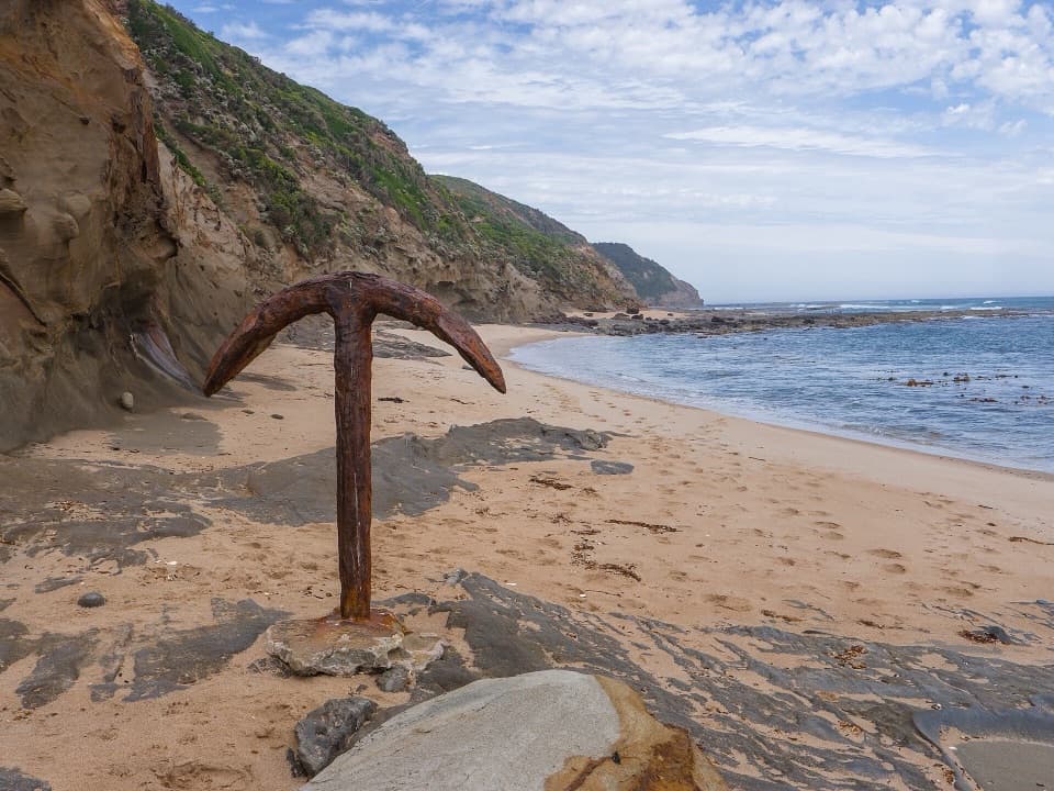
Great Otway National Park, VIC
Rugged Great Ocean Walk stage with cliff views and tide-bound anchors.
Overview
Map & elevation
Plan your hike

The highest, rockiest slopes around here are a summer buffet for grizzly bears.
Great Otway Tour Guide
Parkwolf is a GPS audio tour guide for Great Otway National Park. As you drive, it chimes in with what’s ahead: hidden gems, upcoming stops, history, geology, and wildlife, right through your car’s speakers.
See the Great Otway audio tourRecorded for this area
The Whale with a Smooth Back“If you spot a whale from a coastal lookout, watch its back as it surfaces. A southern right whale has no dorsal fin, so you may see a broad, smooth curve above the water.”
Plays on the road 1.4 km from the trailhead in the Parkwolf Great Otway Tour Guide.
More stories near here in the app
“Fantastic app with many points of information… It’s great to just turn on while you’re driving and it gives you an audio tour of the national Park. We love it!!!!”


Trail guide
This is the 13 km one-way Great Ocean Walk leg from Ryan’s Den hike-in campground to Devil’s Kitchen hike-in campground. Allow about five to six hours for a long, rolling walk with several steep sections. It’s a rewarding stretch if you’re walking the multi-day route and have your overnight plan sorted; it is not a loop from a roadside trailhead. Neither end campground has vehicle access, so arrange the next camp and your transport before setting out.
From Ryan’s Den the track winds through coastal forest and scrub over Cape Volney toward Moonlight Head. The opening stretch follows the high coast above steep sea cliffs, with repeated rises and drops. It later turns inland through a valley and climbs a newer track toward The Gables. This is a full walking day, not a quick lookout spur.
The Gables Lookout is the big pause on this section: it sits above some of the highest sea cliffs on mainland Australia. In winter, Southern Right Whales migrate along this coast, so keep an eye on the water below. A sighting is a bonus, not something to plan around.
Past the lookout, the route goes through casuarina trees to Wreck Beach. At low tide, if the sea is calm and the tide window is safe, steps lead down to the cliff-locked beach and the Fiji and Marie Gabrielle shipwreck anchors. The marked high-tide route continues inland from Wreck Beach carpark toward Devil’s Kitchen; follow the on-site decision signs and check Port Campbell tide times before you choose. Don’t commit to the beach if water or swell could cut off the way out.
Ryan’s Den and Devil’s Kitchen are remote hike-in camps with toilets and untreated rainwater tanks. Book a site ahead; the tanks may be empty, so carry enough water and a way to treat it. There’s no dependable food stop on this stage, so bring what you need. Dogs aren’t allowed in Great Otway National Park.
Wildlife
 204 sightingsKoalaMost seen around 6 PMSighting map
 35 sightingsGrey KangarooMost seen around 6 AMSighting map
 109 sightingsEchidnaMost seen around 5 PMSighting map
 58 sightingsKookaburraMost seen around 6 AMSighting map
 97 sightingsSwamp WallabyMost seen around 6 PMSighting map
 20 sightingsBrushtail PossumMost seen around 8 PMSighting map
Sighting maps show where each species has been reported across Great Otway. Wildlife moves, so no sighting is guaranteed.
Keep exploring
 ChallengingMilanesia Beach to Ryan’s Den6.4 km · 2.5 hr · 4.3 km awayA hard coastal walk from Milanesia Beach to Ryan’s DenModerateMilanesia Beach Walk3.4 km · 1.5 hr · 4.3 km awayA steep coastal track drops to a quiet beach, then climbs back.
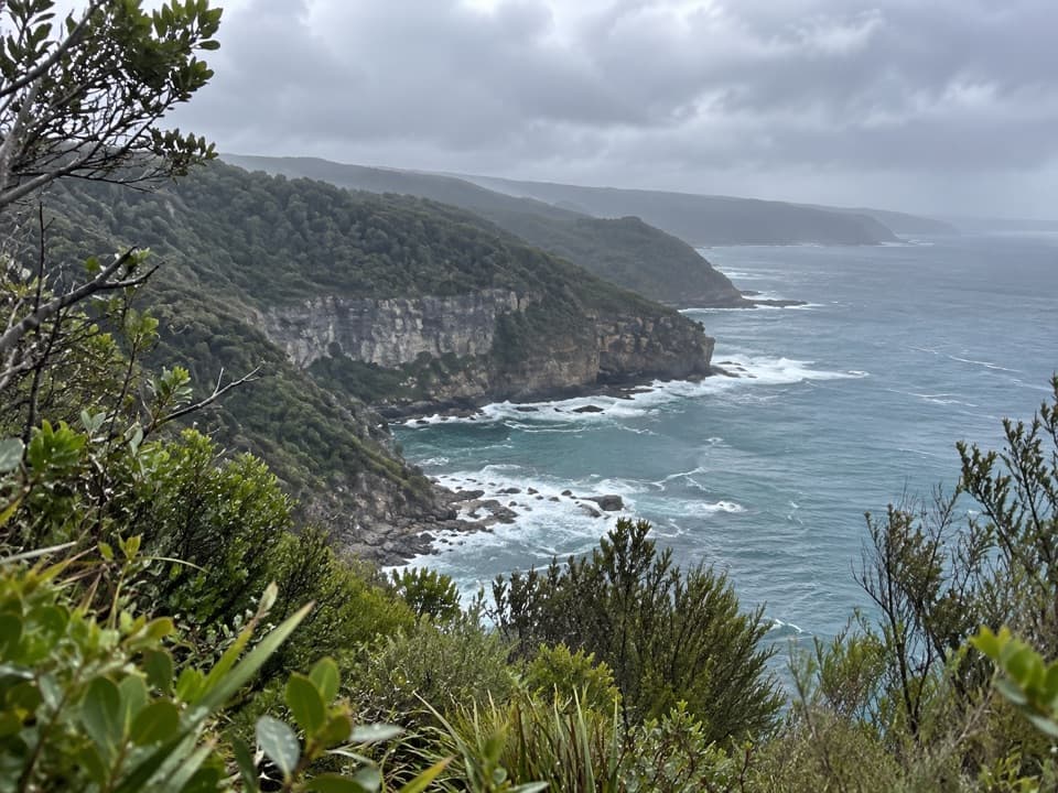 EasyThe Gables Lookout Walk0.8 km · 30 min · 4.8 km awayA short sheoak walk to reefs above Moonlight Head.ChallengingWreck Beach Walk2 km · 1 hr · 5.5 km awayHundreds of steps to two shipwreck anchors on a wild coastal beach.
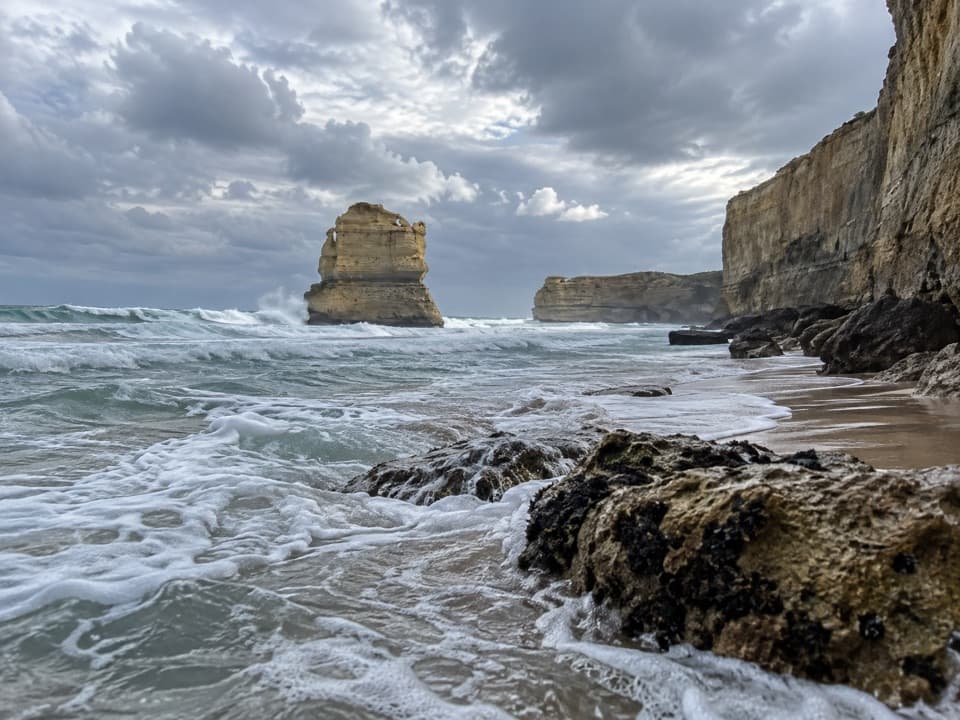 ModerateDevil's Kitchen to Twelve Apostles16 km · 5.5 hr · 6.6 km awaySixteen coastal kilometres to the Twelve Apostles, with a sandy finish
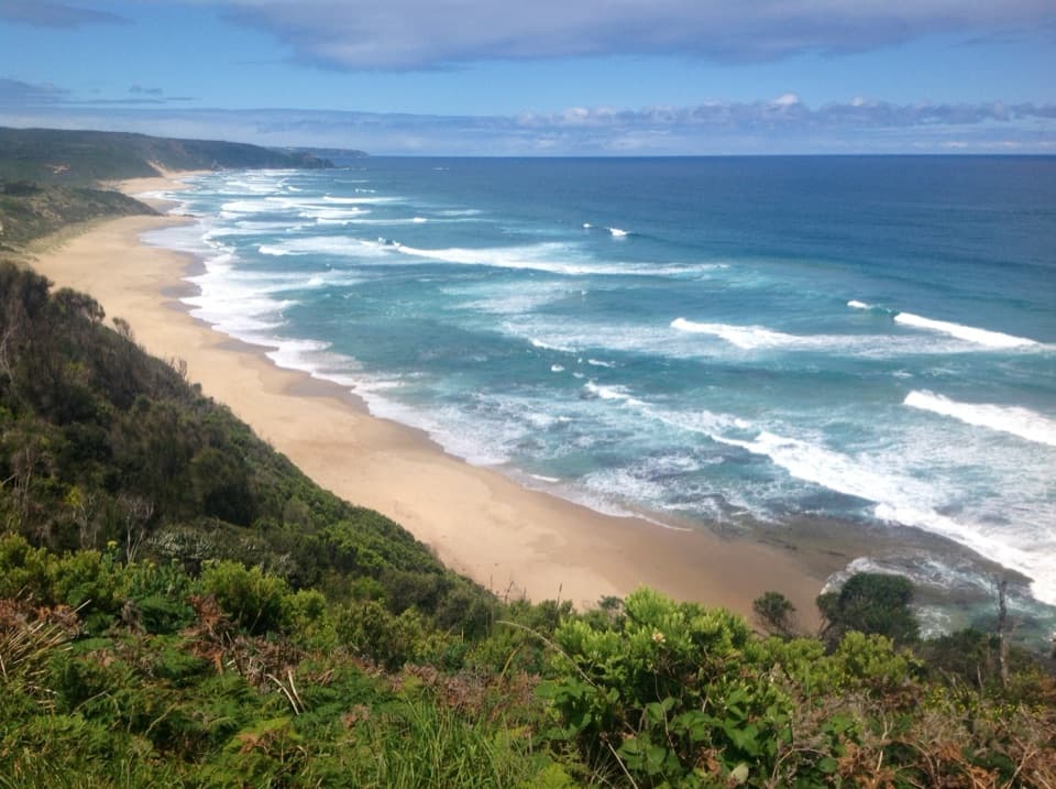 ChallengingJohanna Beach to Ryans Den14 km · 5.5 hr · 8.8 km awayA long coastal traverse with a river lookout and hike-in finish.ModerateJohanna Beach to Milanesia Beach10.4 km · 3.5 hr · 8.8 km awayA hilltop sea view and a remote beach reached on foot.
 ModerateMadsen’s Track Nature Walk1.4 km · 35 min · 10.5 km awayA ferny rainforest circuit past Anne’s Cascades and the Big Tree.
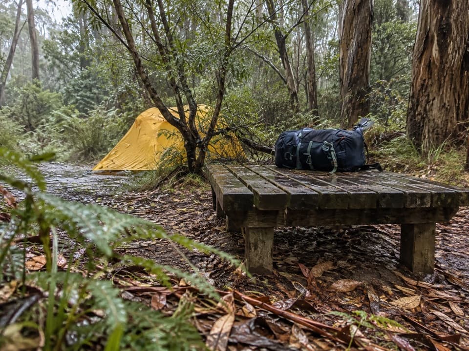 Campground · At the trailheadRyans Den Hike-in CampgroundA quiet ridge camp with ocean views between long coastal stages.Beach · 3.3 km awayMilanesia BeachA long, tide-timed beach crossing on the Great Ocean Walk.
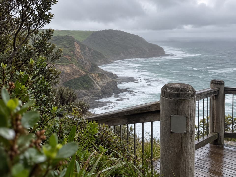 Sight · 5 km awayThe Gables LookoutA sheoak-lined detour to reefs and big Southern Ocean views.Beach · 6 km awayWreck BeachTwo wreck anchors reward the steep stairs at low tide.
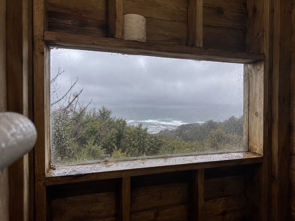 Campground · 6.6 km awayDevils Kitchen Hike-in CampgroundA booked walk-in camp with a coast view from its toilet window.
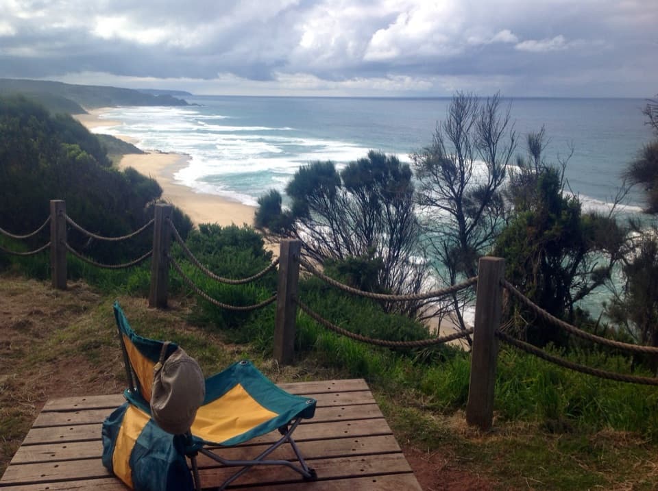 Campground · 8 km awayJohanna Beach Hike-in CampgroundA booked ridge camp with a broad Johanna Beach outlook.
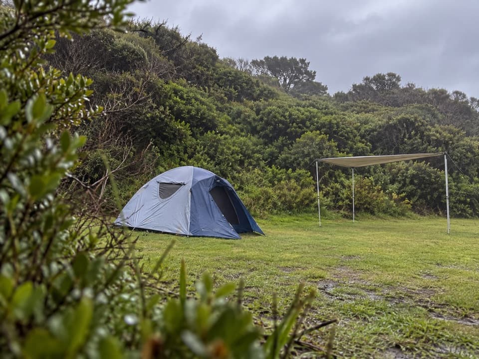 Campground · 8.8 km awayJohanna Beach CampgroundTwenty-five unpowered sites behind dunes near Johanna Beach.
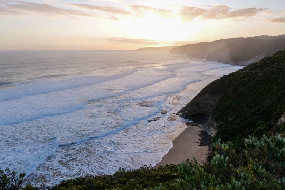 Beach · 9.7 km awayJohanna BeachA west-facing surf coast for long views, with rips to respect.
Parkwolf’s Great Otway ranking

The audio tour guide for the drive, plus offline maps, trails, and wildlife heatmaps for when the signal drops.




