Johanna Beach to Ryans Den in Great Otway National Park

Great Otway National Park, VIC

Johanna Beach to Ryans Den

A long coastal traverse with a river lookout and hike-in finish.

Photo: Wikimedia Commons
Length
14km
Time
5.5hr
Elev. change
262m
Difficulty
Challenging
  • No dogs
  • High point 281 m
  • #27 of 83 in Great Otway

Hear the audio tour

Johanna Beach: Surf and Open Coast

Overview

About Johanna Beach to Ryans Den

Why go

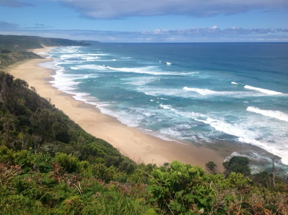
  • A hilltop lookout pairs ocean views with the Johanna River and farmland below.
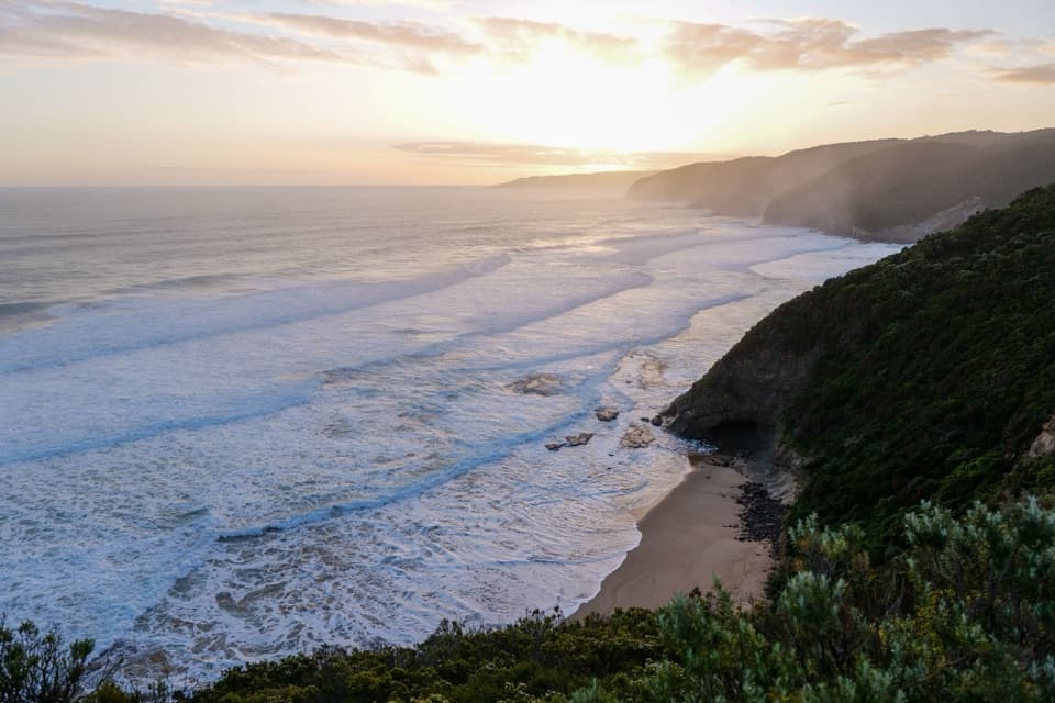
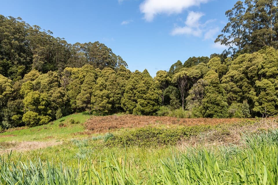
  • The scenery shifts from scrub and rolling track to a remote beachside finish.

Heads up

  • Repeated climbs make the stretch after Melanesia demanding.
  • The point-to-point finish has no vehicle access at Ryans Den.

Map & elevation

The route

Loading the Great Otway map
Full map
Elevation19–281 m
TrailheadJohanna Beach Great Ocean Walk access-38.76207, 143.37880
Keep this map with you offline in the Parkwolf app

Plan your hike

Before you go

Parking

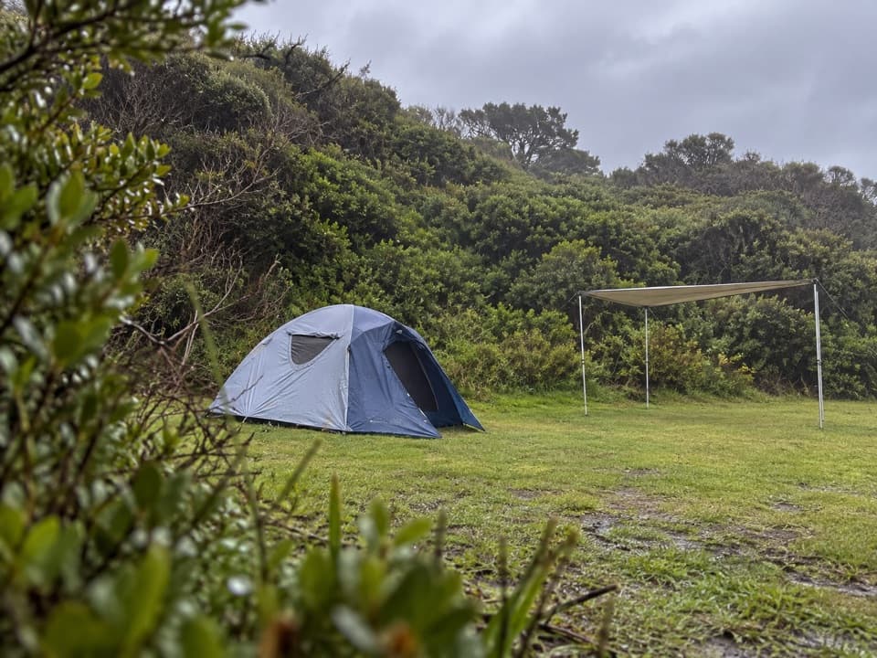
Use the Johanna Beach Great Ocean Walk access beside the campground. The route ends at the hike-in Ryans Den campsite, where vehicles cannot collect you. Day walkers need to continue about 1.5 km on the separate Ryan’s Den Track to the Great Ocean Road and arrange pickup there.

Safety

Foreshore sections are tide and swell dependent; check conditions and wait or turn back if they are unsafe. Ryans Den has no vehicle access, so plan an exit or overnight stay before starting.

3 active Great Otway alerts

  • ClosureWye Road closed after storm and flood damageWye Road is closed until further notice because recent storm and flood damage requires road maintenance and repair works; plan around the closure.Official details
  • ClosureLorne-area walking trails closed after flood damageSome walking trails near Lorne are closed for public safety after the January 2026 flash floods washed away or severely damaged bridges and walkways.Official details
See all 3 alerts
A park ranger sits on a dash-mounted phone, talking, as Parkwolf’s Tour Guide plays “Army Cutworm Moths: A Grizzly Bear Buffet” on Grand Loop Road below Dunraven Pass in Yellowstone
Parkwolf Tour GuideThe highest, rockiest slopes around here are a summer buffet for grizzly bears.

Great Otway Tour Guide

Your drive to Johanna Beach to Ryans Den, narrated.

Parkwolf is a GPS audio tour guide for Great Otway National Park. As you drive, it chimes in with what’s ahead: hidden gems, upcoming stops, history, geology, and wildlife, right through your car’s speakers.

See the Great Otway audio tour

Recorded for this trailhead

Johanna Beach: Surf and Open Coast
0:00 / 0:33
“You're approaching the Johanna Beach access, for a long, open shore with rolling green hills behind the surf. Follow the marked beach path by the drive-in campground for a walk on the sand.”

Plays as you drive up to this trailhead in the Parkwolf Great Otway Tour Guide.

More stories near here in the app

  • The Surf Sorts the Sand
  • Skin That Changes Its Texture
  • The Air Inside a Fur Seal’s Coat
  • A Nursery Inside a Log
  • 252 audio storiesacross Great Otway’s roads, triggered by GPS as you drive
  • Wildlife heatmapsfor Koala, Grey Kangaroo, Echidna, and 13 more
  • Works offlinemaps, 83 trails, 79 places, and audio download before you lose signal
  • CarPlay readysimple controls built for the drive
★★★★★
“Fantastic app with many points of information… It’s great to just turn on while you’re driving and it gives you an audio tour of the national Park. We love it!!!!”
JMJamesApp Store review
Download Parkwolf on the App StoreGet Parkwolf on Google Play

4.7 from 8,600+ ratings

Trail guide

Hiking Johanna Beach to Ryans Den

The stageThis is a roughly 14 km, one-way section of the Great Ocean Walk from Johanna Beach to the…

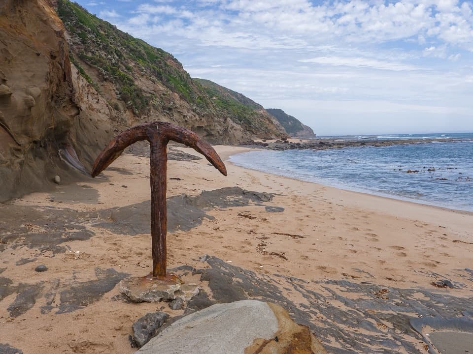
This is a roughly 14 km, one-way section of the Great Ocean Walk from Johanna Beach to the remote Ryans Den hike-in campground. The route climbs through coastal scrub to a hilltop lookout over the Johanna River, farmland and ocean, then follows Old Coach Road and Melanesia Track to the beach. From there, expect repeated climbs and descents before the wooded campsite. Allow about 5–6 hours; this is a long, hard day.

Johanna to MelanesiaThe first stretch winds through coastal scrub before opening onto a broad view across the river…

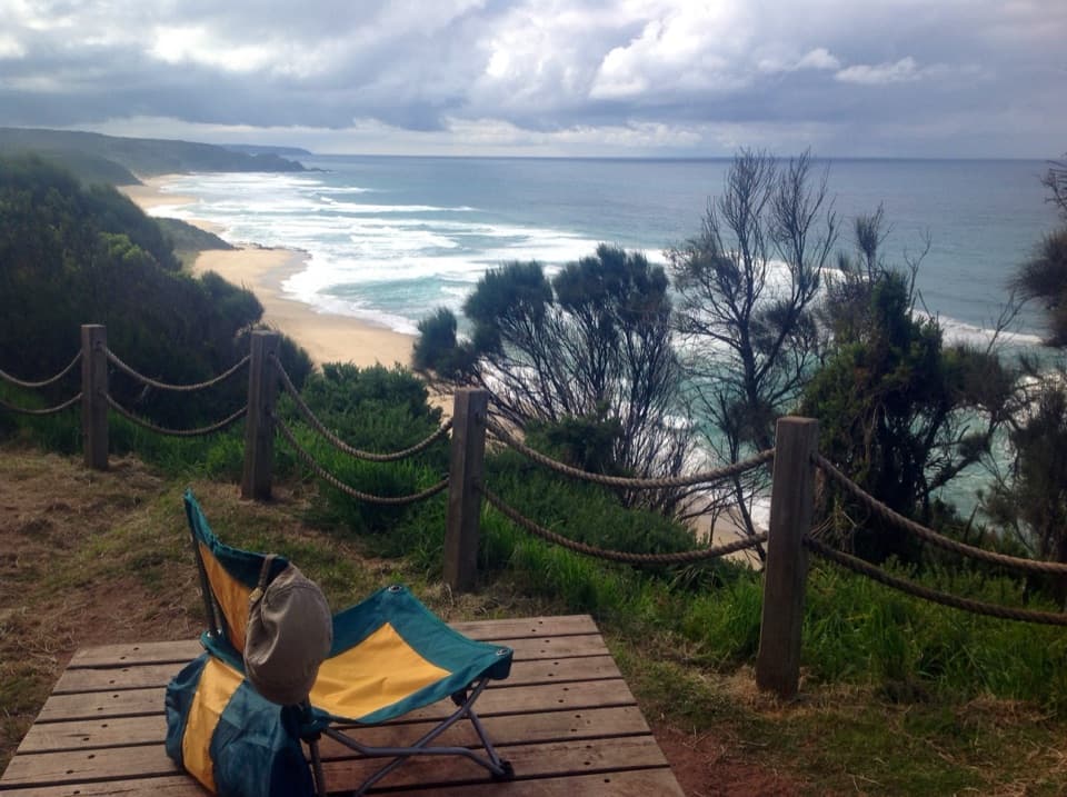
The first stretch winds through coastal scrub before opening onto a broad view across the river valley and coast. It then follows Old Coach Road and turns down Melanesia Track to the beach. Take a break at the lookout, where the river’s path through the farmland makes the scale of the coast easier to see.

The harder finishAfter Melanesia Beach, the route rolls through repeated ups and downs toward Ryans Den.

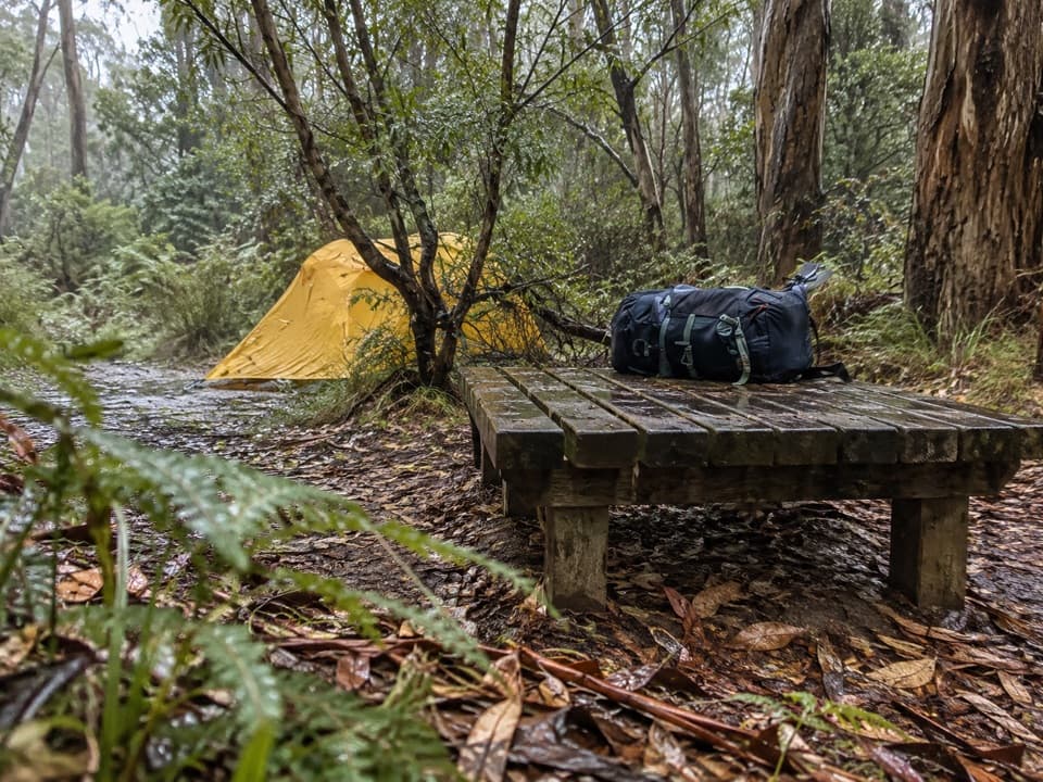
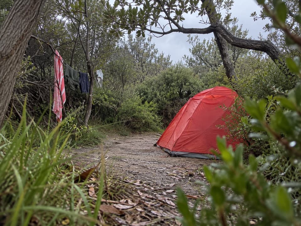
After Melanesia Beach, the route rolls through repeated ups and downs toward Ryans Den. The second half is the more demanding part, so leave enough time and energy for it. The stage ends at a hike-in campground; vehicles cannot reach the campsite.

Plan the exitThis is a point-to-point walk, not a loop. The 14 km stage ends at Ryans Den.

This is a point-to-point walk, not a loop. The 14 km stage ends at Ryans Den. Day walkers can continue on the separate Ryan’s Den Track to the Great Ocean Road, about 1.5 km farther, and should arrange their pickup there in advance. If staying at the campsite, check current booking arrangements before setting out.

Tide and park rulesBeach sections around Johanna and Milanesia depend on tide and surf conditions.

Beach sections around Johanna and Milanesia depend on tide and surf conditions. Check that the foreshore is safe before committing, and wait or turn back if the tide or swell makes it unsafe. Dogs and other pets are not permitted in Great Otway National Park.

Wildlife

Wildlife in Great Otway

All Great Otway wildlife maps

Sighting maps show where each species has been reported across Great Otway. Wildlife moves, so no sighting is guaranteed.

Keep exploring

Near Johanna Beach to Ryans Den

See it all on the map

Trails that start nearby

Places near the trailhead

Parkwolf’s Great Otway ranking

Top-rated trails in Great Otway

All 83 trails
  1. 1Great Ocean WalkChallenging · 100 km
  2. 2Maits Rest Rainforest WalkEasy · 0.8 km
  3. 3Triplet Falls WalkModerate · 1.8 km
  4. 4Hopetoun Falls WalkModerate · 0.8 km
  5. 5Madsen’s Track Nature WalkModerate · 1.4 km
  6. 6Lake Elizabeth Loop WalkEasy · 4.7 km

Take Parkwolf to Great Otway.

The audio tour guide for the drive, plus offline maps, trails, and wildlife heatmaps for when the signal drops.

4.7 from 8,600+ ratings

Download Parkwolf on the App StoreGet Parkwolf on Google Play