Parking
Start at Milanesia Beach Access Gate. Parking near the access is limited; follow the public gate route, keep gates clear, and do not follow directions onto private cottage grounds. Check Parks Victoria access updates before driving out.

Great Otway National Park, VIC
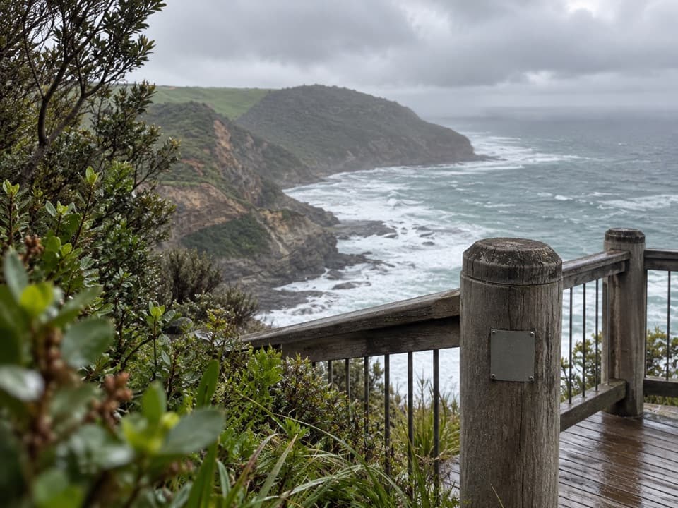
A steep coastal track drops to a quiet beach, then climbs back.
Overview
Map & elevation
Plan your hike

The highest, rockiest slopes around here are a summer buffet for grizzly bears.
Great Otway Tour Guide
Parkwolf is a GPS audio tour guide for Great Otway National Park. As you drive, it chimes in with what’s ahead: hidden gems, upcoming stops, history, geology, and wildlife, right through your car’s speakers.
See the Great Otway audio tourRecorded for this trailhead
Milanesia Beach: A Steep Coastal Walk“You're approaching the Hiders Access Road turnoff for Milanesia Beach, still a drive and a steep walk away.”
Plays as you drive up to this trailhead in the Parkwolf Great Otway Tour Guide.
More stories near here in the app
“Fantastic app with many points of information… It’s great to just turn on while you’re driving and it gives you an audio tour of the national Park. We love it!!!!”


Trail guide
This is a steep out-and-back from Milanesia Beach Access Gate to the beach: 3.4 km (2.1 miles) return, with about 1.5 hours of walking. The park plan lists 1.7 km, which matches the mapped gate-to-beach leg; this distance counts the same track back uphill. The route drops roughly 150 m to the coast, so save energy for the climb back. Starting farther up the access road adds distance.
Milanesia is a roughly 300 m stretch of sand below vegetated cliffs, with powerful surf. Tide and swell affect how much shoreline you can walk; the beach is generally passable in normal tides and calm weather. It is unpatrolled, and Parks Victoria recommends swimming only at patrolled beaches. An old cottage is visible from the public beach, but it is private property; enjoy the view from afar. For scale, include the cottage in a beach view without approaching it.
Begin at Milanesia Beach Access Gate. Parking near the access is limited, and there are no formal facilities, so bring water and use services before leaving the Great Ocean Road. Some navigation directions lead toward private property; stay on the public access route and keep gates clear. Check Parks Victoria access updates before driving out. Dogs are not allowed on this Great Otway National Park walk.
Wildlife
 204 sightingsKoalaMost seen around 6 PMSighting map
 35 sightingsGrey KangarooMost seen around 6 AMSighting map
 109 sightingsEchidnaMost seen around 5 PMSighting map
 58 sightingsKookaburraMost seen around 6 AMSighting map
 97 sightingsSwamp WallabyMost seen around 6 PMSighting map
 20 sightingsBrushtail PossumMost seen around 8 PMSighting map
Sighting maps show where each species has been reported across Great Otway. Wildlife moves, so no sighting is guaranteed.
Keep exploring
ChallengingMilanesia Beach to Ryan’s Den6.4 km · 2.5 hr · At the trailheadA hard coastal walk from Milanesia Beach to Ryan’s Den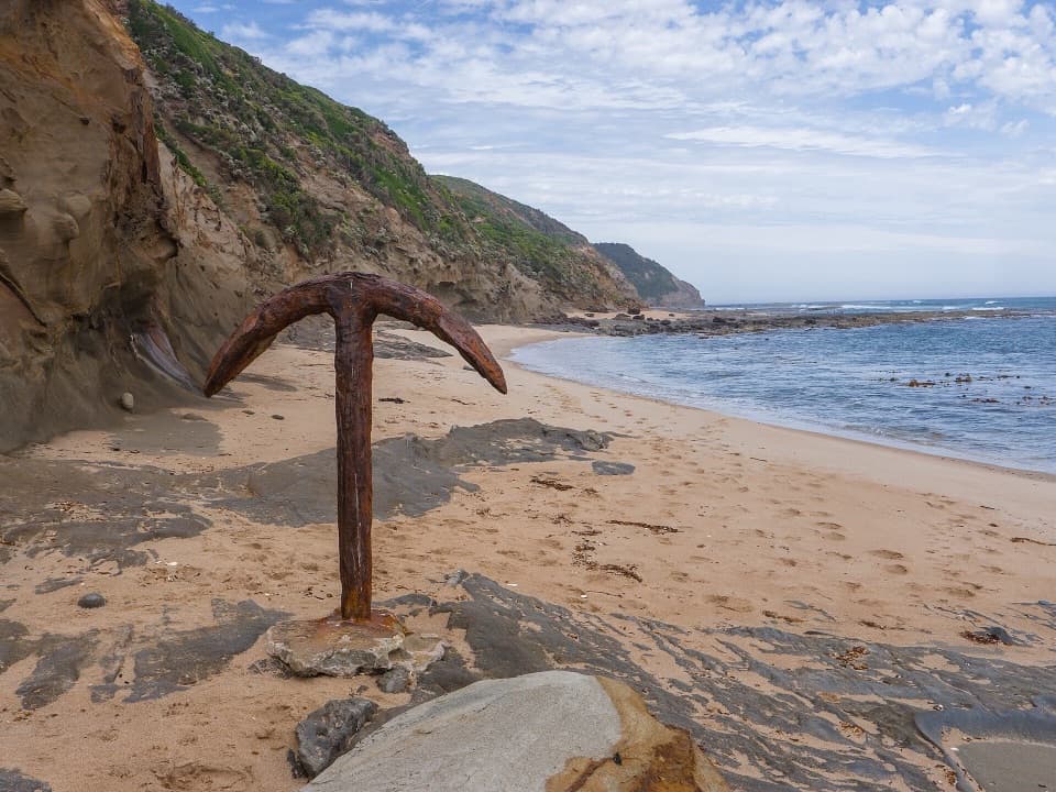 ChallengingRyan’s Den to Devil’s Kitchen13 km · 5.3 hr · 4.3 km awayRugged Great Ocean Walk stage with cliff views and tide-bound anchors.
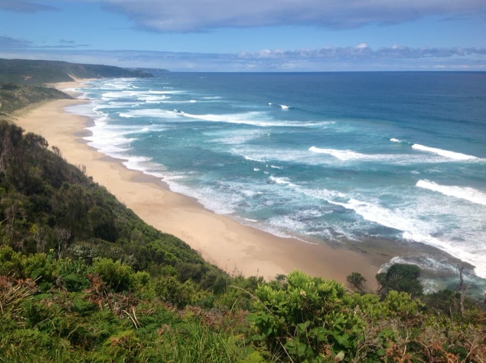 ChallengingJohanna Beach to Ryans Den14 km · 5.5 hr · 5.2 km awayA long coastal traverse with a river lookout and hike-in finish.ModerateJohanna Beach to Milanesia Beach10.4 km · 3.5 hr · 5.3 km awayA hilltop sea view and a remote beach reached on foot.
 ModerateMadsen’s Track Nature Walk1.4 km · 35 min · 6.5 km awayA ferny rainforest circuit past Anne’s Cascades and the Big Tree.
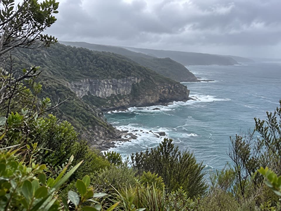 EasyThe Gables Lookout Walk0.8 km · 30 min · 8.9 km awayA short sheoak walk to reefs above Moonlight Head.ChallengingWreck Beach Walk2 km · 1 hr · 9.5 km awayHundreds of steps to two shipwreck anchors on a wild coastal beach.
 ModerateCastle Cove to Johanna Beach6.3 km · 2.5 hr · 10 km awayClifftop heath gives way to Johanna’s tide-dependent beach finish.Beach · 1.3 km awayMilanesia BeachA long, tide-timed beach crossing on the Great Ocean Walk.
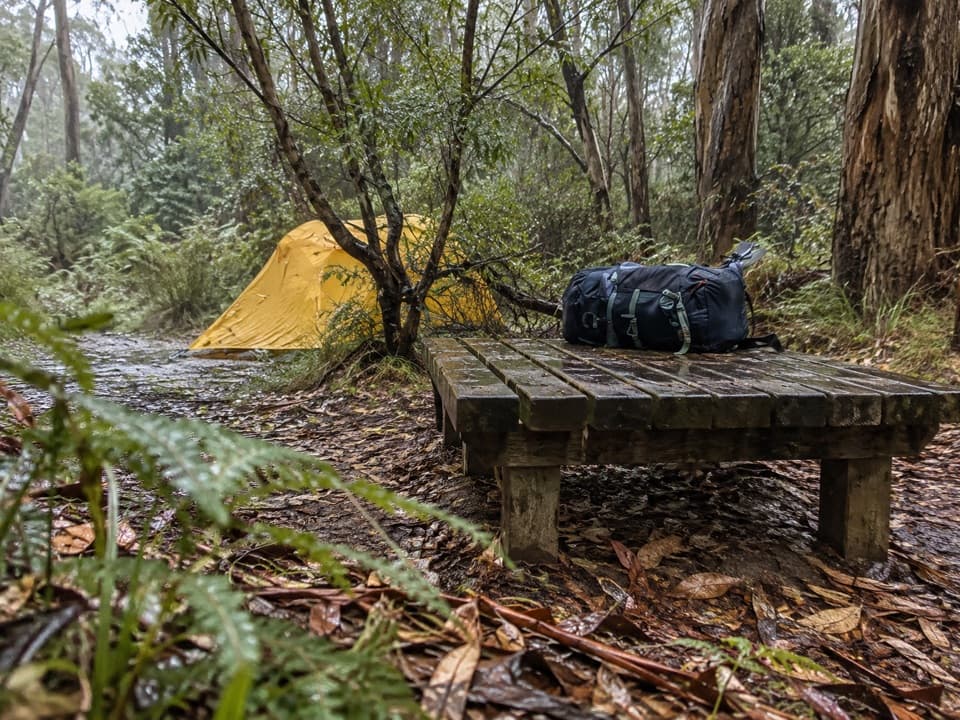 Campground · 4.3 km awayRyans Den Hike-in CampgroundA quiet ridge camp with ocean views between long coastal stages.
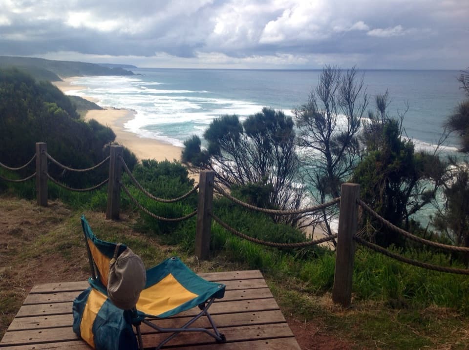 Campground · 4.4 km awayJohanna Beach Hike-in CampgroundA booked ridge camp with a broad Johanna Beach outlook.
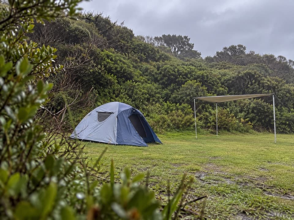 Campground · 5.2 km awayJohanna Beach CampgroundTwenty-five unpowered sites behind dunes near Johanna Beach.
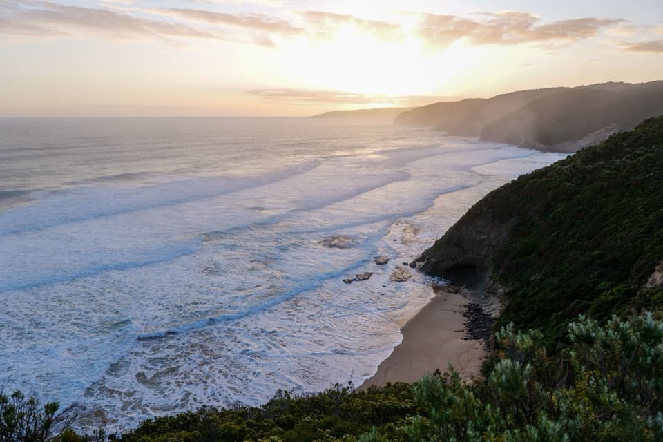 Beach · 6.3 km awayJohanna BeachA west-facing surf coast for long views, with rips to respect.
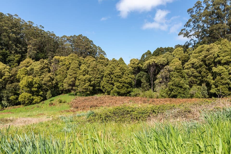 Picnic area · 6.5 km awayMelba Gully Day Visitor AreaA short rainforest loop doubles as a glow-worm walk after dark.
 Sight · 9.1 km awayThe Gables LookoutA sheoak-lined detour to reefs and big Southern Ocean views.Beach · 9.9 km awayWreck BeachTwo wreck anchors reward the steep stairs at low tide.
Parkwolf’s Great Otway ranking

The audio tour guide for the drive, plus offline maps, trails, and wildlife heatmaps for when the signal drops.




