Parking
Start at the roadside parking beside Castle Cove Lookout on the Great Ocean Road. Finish at Johanna Beach Car Park; arrange a second vehicle or pickup before setting off.

Great Otway National Park, VIC
Clifftop heath gives way to Johanna’s tide-dependent beach finish.
Overview
Map & elevation
Plan your hike

The highest, rockiest slopes around here are a summer buffet for grizzly bears.
Great Otway Tour Guide
Parkwolf is a GPS audio tour guide for Great Otway National Park. As you drive, it chimes in with what’s ahead: hidden gems, upcoming stops, history, geology, and wildlife, right through your car’s speakers.
See the Great Otway audio tourRecorded for this trailhead
Castle Cove: A Short Coastal Pause“Up ahead is Castle Cove Lookout, where a short path from the roadside parking leads to a deck above the beach. I'd give it ten minutes as a break in the drive, for the sandy cove and scrub-covered headlands.”
Plays as you drive up to this trailhead in the Parkwolf Great Otway Tour Guide.
More stories near here in the app
“Fantastic app with many points of information… It’s great to just turn on while you’re driving and it gives you an audio tour of the national Park. We love it!!!!”


Trail guide
Castle Cove to Johanna Beach is a 3.9-mile (6.3-km) one-way section of the Great Ocean Walk, from the roadside lookout at Castle Cove to Johanna Beach Car Park. Allow about 2.5 hours. The route moves between open cliff tops, coastal heath and forest, then descends to Johanna’s surf beach, crosses the unbridged river and climbs back to the access road. It is a good short choice for seeing several coastal landscapes, provided you arrange transport at both ends and choose a safe tide window.
Pause at Castle Cove Lookout before setting off; it looks over a sandy cove and coastal cliffs, where peregrines nest. From there, the marked gravel path rises and dips along the headland, alternating open ocean views with heath and forest. Manna gums and grass trees are noted along this stretch, with spring wildflowers when they bloom. This is not a flat shoreline stroll: the repeated climbs and drops, plus the beach finish, make the medium rating feel fair. For a photo at Castle Cove, frame the cove’s curve with a piece of cliff in the foreground so the shore reads against the open water.
At the Johanna end, the walk reaches a broad beach with a roughly 2-km shoreline and a stretch of sand on the route. A small, unbridged river must be crossed. High tide, rough swell or a river running high after rain can make the beach and crossing unsafe. Check tide, surf and recent rainfall before leaving the lookout; watch for the route’s decision-point signs and be prepared to wait or turn back. Keep to the Great Ocean Walk rather than searching for another beach line.
Start at roadside parking beside Castle Cove Lookout on the Great Ocean Road. Finish at Johanna Beach Car Park, so arrange a lift or leave a second car there before starting; this section does not loop back. Carry water and snacks, as no reliable food or drinking-water stop was verified along this leg. Dogs are not permitted on the trail.
Wildlife
 204 sightingsKoalaMost seen around 6 PMSighting map
 35 sightingsGrey KangarooMost seen around 6 AMSighting map
 109 sightingsEchidnaMost seen around 5 PMSighting map
 58 sightingsKookaburraMost seen around 6 AMSighting map
 97 sightingsSwamp WallabyMost seen around 6 PMSighting map
 20 sightingsBrushtail PossumMost seen around 8 PMSighting map
Sighting maps show where each species has been reported across Great Otway. Wildlife moves, so no sighting is guaranteed.
Keep exploring
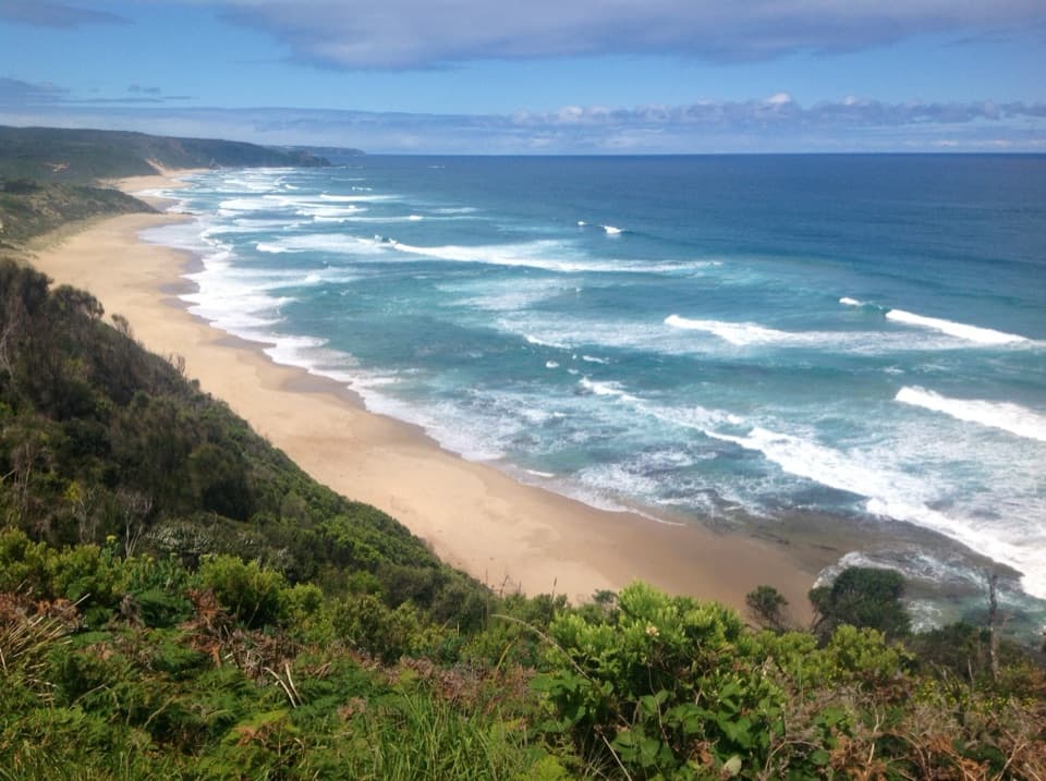 ModerateJohanna Beach to Milanesia Beach10.4 km · 3.5 hr · 4.8 km awayA hilltop sea view and a remote beach reached on foot.ChallengingJohanna Beach to Ryans Den14 km · 5.5 hr · 4.8 km awayA long coastal traverse with a river lookout and hike-in finish.
 ModerateGreat Ocean Walk: Aire River to Castle Cove6 km · 2.5 hr · 4.8 km awayRiver-mouth views reward the climb to Castle Cove.ModerateAire River to Johanna Beach14 km · 5.3 hr · 4.9 km awayCliff views, Castle Cove fossils and a beach finish.
 ModerateAire River Escarpment Lookout Walk4 km · 2 hr · 5 km awayA short climb from river estuary to ocean views.
 ChallengingMilanesia Beach to Ryan’s Den6.4 km · 2.5 hr · 10 km awayA hard coastal walk from Milanesia Beach to Ryan’s DenModerateMilanesia Beach Walk3.4 km · 1.5 hr · 10 km awayA steep coastal track drops to a quiet beach, then climbs back.
 ModerateMadsen’s Track Nature Walk1.4 km · 35 min · 10.7 km awayA ferny rainforest circuit past Anne’s Cascades and the Big Tree.
 Sight · At the trailheadCastle Cove LookoutPause above the cove, then take the stairs for the beach.
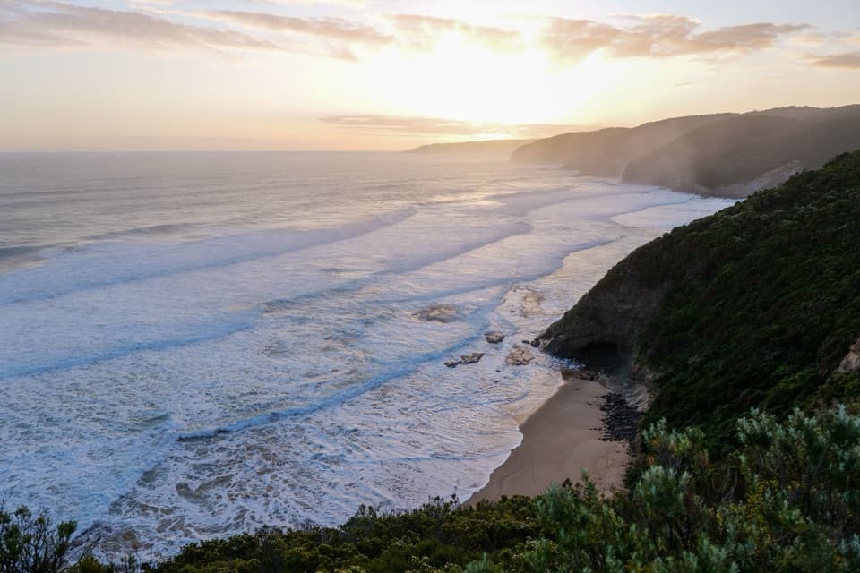 Beach · 3.7 km awayJohanna BeachA west-facing surf coast for long views, with rips to respect.
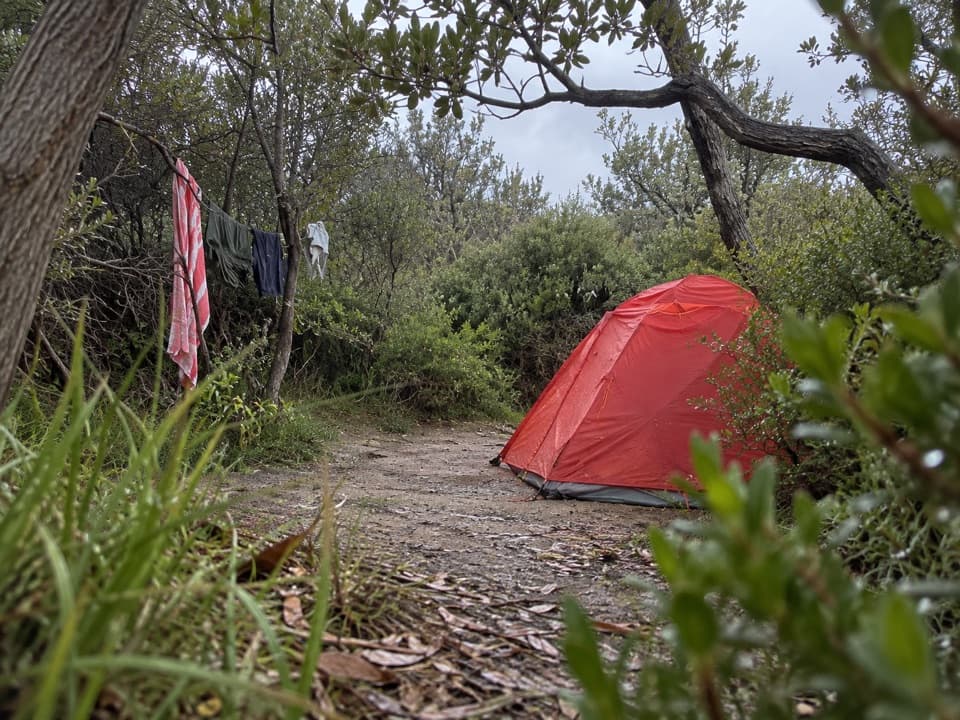 Campground · 4.7 km awayAire River Hike-in CampgroundA booked bushland camp for walkers taking the coastal route.
 Picnic area · 4.8 km awayAire River Day Visitor AreaA riverside picnic stop framed by low Otway hills and wetlands.
 Campground · 4.8 km awayAire River West CampgroundA roomy riverside base for caravans, groups and walkers.
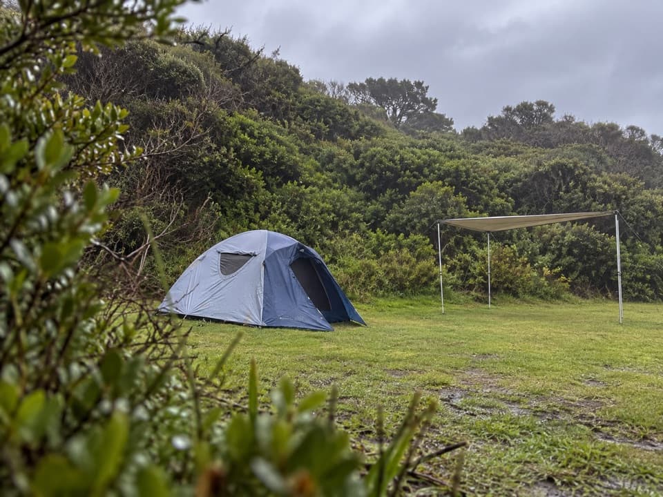 Campground · 4.8 km awayJohanna Beach CampgroundTwenty-five unpowered sites behind dunes near Johanna Beach.
 Campground · 5.1 km awayAire River East CampgroundAn unpowered estuary camp for paddling, koalas and quiet bush nights.
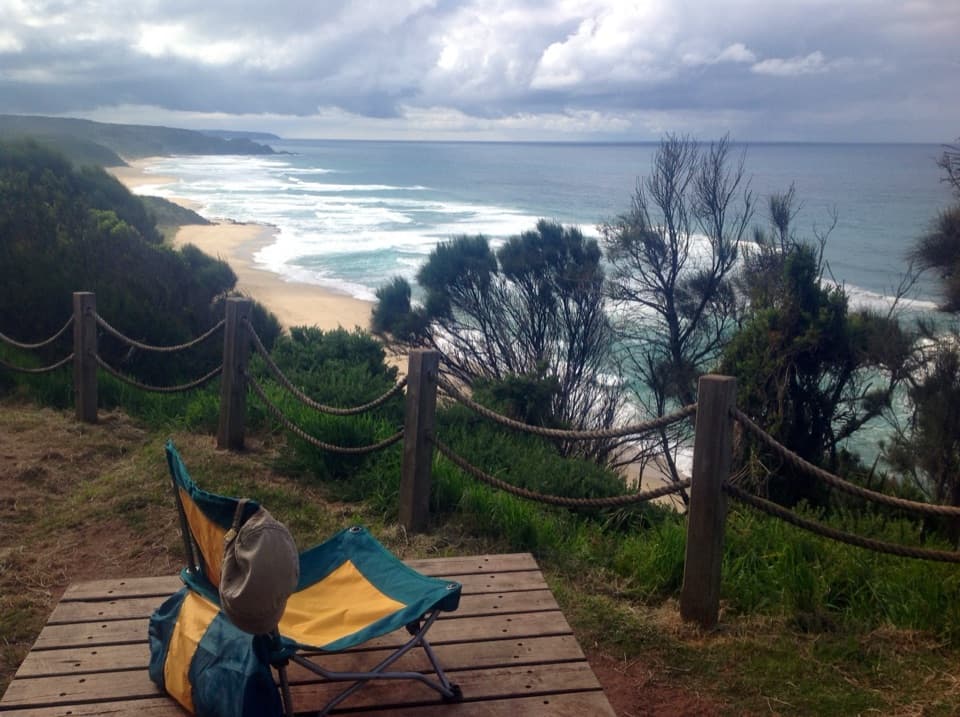 Campground · 5.6 km awayJohanna Beach Hike-in CampgroundA booked ridge camp with a broad Johanna Beach outlook.
Parkwolf’s Great Otway ranking

The audio tour guide for the drive, plus offline maps, trails, and wildlife heatmaps for when the signal drops.




