Parking
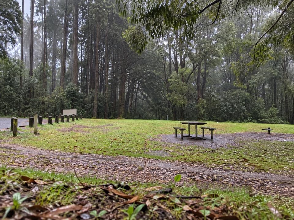
Use the Triplet Falls Picnic Area car park, then follow the Triplet Falls track to the signed Little Aire Falls branch.
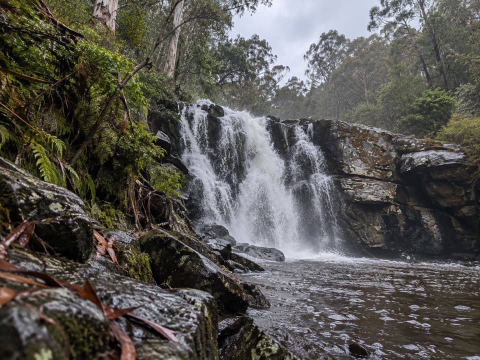
Great Otway National Park, VIC
A rainforest hike to a high platform above the falls.
Overview
Map & elevation
Plan your hike

The highest, rockiest slopes around here are a summer buffet for grizzly bears.
Great Otway Tour Guide
Parkwolf is a GPS audio tour guide for Great Otway National Park. As you drive, it chimes in with what’s ahead: hidden gems, upcoming stops, history, geology, and wildlife, right through your car’s speakers.
See the Great Otway audio tourRecorded for this trailhead
Triplet Falls and the Old Mill“You’re nearing the Triplet Falls walking access, where a rainforest circuit reaches platforms above three cascades. Allow about an hour for the two-kilometre loop, with a steep, stepped descent before the easier return.”
Plays as you drive up to this trailhead in the Parkwolf Great Otway Tour Guide.
More stories near here in the app
“Fantastic app with many points of information… It’s great to just turn on while you’re driving and it gives you an audio tour of the national Park. We love it!!!!”


Trail guide
Little Aire Falls Walk is about 5 km return from Triplet Falls Picnic Area to a high viewing platform above the falls. It starts on the shared Triplet Falls track, then branches through wet rainforest along an old logging winch line. Allow about 2.5 hours. The distance is manageable, but the steps and steep climb on the return make this more than a quick waterfall stop.
The route crosses fern gullies on a formed but uneven forest track, with small creek crossings, short boardwalks and steps. The return includes a steep climb. After rain, muddy and slippery patches can slow you down, so allow time for careful footing. The route is an out-and-back, separate from the Triplet Falls circuit; visitors often describe it as quieter than that loop.
The cantilevered platform sits about eight metres above the falls and looks down toward the cascade and valley. The signed walk ends here; it does not descend to the waterfall base, and some visitors find the falls look distant from the platform. After rain the cascade may be fuller, though wet weather can also leave the track slick. From the platform, include some of the valley around the falls for scale.
Start at Triplet Falls Picnic Area and follow signs for the Little Aire branch. Dogs are not allowed in Great Otway National Park, apart from authorised assistance dogs. Parks Victoria also warns of snakes and falling trees or limbs in the area.
Wildlife
 204 sightingsKoalaMost seen around 6 PMSighting map
 35 sightingsGrey KangarooMost seen around 6 AMSighting map
 109 sightingsEchidnaMost seen around 5 PMSighting map
 58 sightingsKookaburraMost seen around 6 AMSighting map
 97 sightingsSwamp WallabyMost seen around 6 PMSighting map
 20 sightingsBrushtail PossumMost seen around 8 PMSighting map
Sighting maps show where each species has been reported across Great Otway. Wildlife moves, so no sighting is guaranteed.
Keep exploring
 ModerateTriplet Falls Walk1.8 km · 1 hr · At the trailheadRaised platforms reveal three cascades in mountain ash rainforest.
 ModerateHopetoun Falls Walk0.8 km · 35 min · 6.3 km awayTwo hundred steps through tree ferns to a 30-metre waterfall.
 EasyMaits Rest Rainforest Walk0.8 km · 30 min · 10.8 km awayA brief 800-metre loop through giant beech and tree ferns.
 ModerateMadsen’s Track Nature Walk1.4 km · 35 min · 11.3 km awayA ferny rainforest circuit past Anne’s Cascades and the Big Tree.
 ModerateCastle Cove to Johanna Beach6.3 km · 2.5 hr · 13.7 km awayClifftop heath gives way to Johanna’s tide-dependent beach finish.
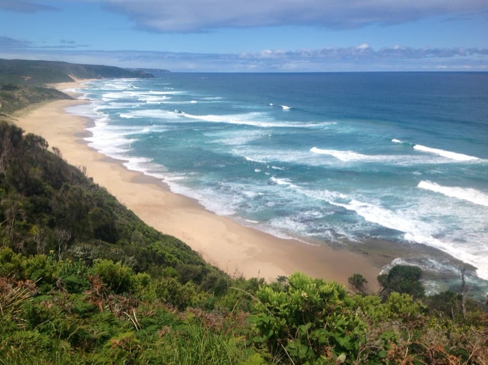 ModerateJohanna Beach to Milanesia Beach10.4 km · 3.5 hr · 14.3 km awayA hilltop sea view and a remote beach reached on foot.ChallengingJohanna Beach to Ryans Den14 km · 5.5 hr · 14.3 km awayA long coastal traverse with a river lookout and hike-in finish.ModerateAire River to Johanna Beach14 km · 5.3 hr · 14.7 km awayCliff views, Castle Cove fossils and a beach finish.
 Sight · 0.2 km awayTriplet FallsThree cascades and 200-year-old Mountain Ash on a rainforest loop.
 Sight · 1.4 km awayLittle Aire FallsA ferny rainforest walk ends above a waterfall and valley.
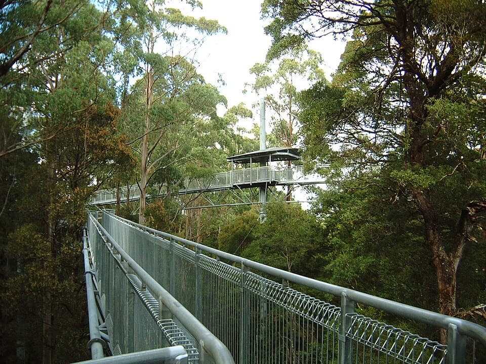 Sight · 2.3 km awayOtway Fly Treetop AdventuresA canopy walk that climbs to a tower and a cantilever.
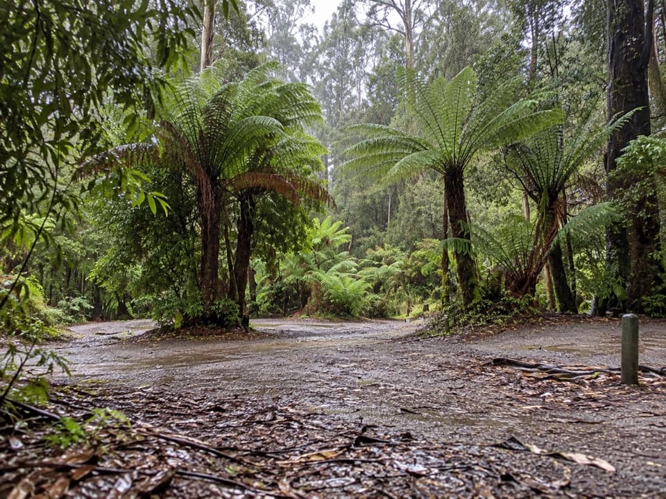 Campground · 3.9 km awayAire Crossing CampgroundFive first-come sites beside the river in ferny rainforest.
 Sight · 6.4 km awayHopetoun FallsA tree-fern waterfall with about 200 stairs to the lower view.
 Sight · 7.3 km awayAire Valley RedwoodsWalk beneath towering trunks in a quiet, riverside redwood grove.
 Campground · 9.9 km awayBeauchamp Falls CampgroundFree rainforest camping, with the waterfall walk starting from camp.
 Sight · 10.4 km awayBeauchamp FallsA fern-framed 20-metre fall worth the uphill walk back.
Parkwolf’s Great Otway ranking

The audio tour guide for the drive, plus offline maps, trails, and wildlife heatmaps for when the signal drops.

