Parking
Use Sheoak Falls Car Park on the Great Ocean Road; the walk starts by the information board. It is 5.9 km west of the Erskine River bridge in Lorne. The information board is the only facility reported at the car park.
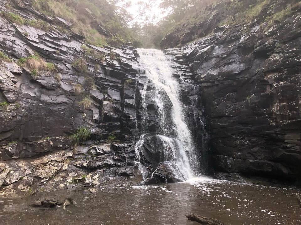
#7 of 83 trails in Great Otway
Great Otway National Park, VIC
Steep creek steps lead to Sheoak Falls and Swallow Cave.
Overview
Map & elevation
Plan your hike

The highest, rockiest slopes around here are a summer buffet for grizzly bears.
Great Otway Tour Guide
Parkwolf is a GPS audio tour guide for Great Otway National Park. As you drive, it chimes in with what’s ahead: hidden gems, upcoming stops, history, geology, and wildlife, right through your car’s speakers.
See the Great Otway audio tourRecorded for this trailhead
Sheoak Falls and Swallow Cave“You're nearing Sheoak Falls car park, for a stepped walk to a fifteen-metre cascade and pool. The falls alone are one point two kilometres return, with steep stairs and sometimes very little water after dry weather.”
Plays as you drive up to this trailhead in the Parkwolf Great Otway Tour Guide.
More stories near here in the app
“Fantastic app with many points of information… It’s great to just turn on while you’re driving and it gives you an audio tour of the national Park. We love it!!!!”


Trail guide
Sheoak Falls and Swallow Cave Walk is a 2.2 km return out-and-back from Sheoak Falls Car Park on the Great Ocean Road. Allow about an hour. You get the pool below Sheoak Falls, then a second look at Sheoak Creek from the Swallow Cave platform across the water. It is a good choice if you want more than a quick waterfall stop, but expect steep steps on this short route. If you only want the falls, the separate walk to Sheoak Falls is 1.2 km return.
Start at the information board and follow the formed track through coastal vegetation to a boardwalk down to the creek. From there the route climbs steeply beside the water; the valley tightens into a rocky gorge, with plants growing in cracks and over the rock face. At the first signed junction, take the lower track through the sheoaks to the platform below the falls. Sheoak Falls drops about 15 metres into a deep pool, with water ferns around it. Return to the junction before continuing uphill. There are several steep stair sections, so walking poles can help if you prefer extra support.
Continue up to the gully lookout for a view of the creek and cave, then follow the track to the stepping-stone crossing. The cave leg requires crossing the creek; do not try it when water covers the stones. Past the Sheoak Picnic Ground track, the route reaches a viewing platform across the creek from Swallow Cave. The cave sits in the rock above the Sheoak Cascades, with high cliffs around the stream. Tree Martins breed here and are usually seen in spring, summer and early autumn. At the falls platform, frame the drop with some of the dark rock and pool; at the cave platform, include the creek so the far-bank setting reads clearly.
The creek has water year-round, but the falls are strongest after a few days of rain, so the flow can look different from visit to visit. The route is rated moderate, but the frequent steps make it feel more demanding than its distance suggests. Dogs are not permitted on park tracks and trails in the Lorne area. Park at Sheoak Falls Car Park, 5.9 km west of the Erskine River bridge in Lorne; the information board is the only facility reported at the car park.
Wildlife
 204 sightingsKoalaMost seen around 6 PMSighting map
 35 sightingsGrey KangarooMost seen around 6 AMSighting map
 109 sightingsEchidnaMost seen around 5 PMSighting map
 58 sightingsKookaburraMost seen around 6 AMSighting map
 97 sightingsSwamp WallabyMost seen around 6 PMSighting map
 20 sightingsBrushtail PossumMost seen around 8 PMSighting map
Sighting maps show where each species has been reported across Great Otway. Wildlife moves, so no sighting is guaranteed.
Keep exploring
 ChallengingLorne Waterfalls: Canyon and Castle Rock Circuit23.4 km · 7.5 hr · At the trailheadA long waterfall loop with a coastal lookout and ferny canyon.
 ModerateCumberland River–Jebb’s Pool Walk3 km · 1.5 hr · 1.5 km awayA fern-lined gorge walk ends at a cascade-fed pool.
 ModerateCumberland Falls Walk6 km · 3 hr · 1.5 km awayA forested river walk with crossings and two small cascades.
 ChallengingMount Defiance–Jamieson Creek Circuit22 km · 5.5 hr · 1.5 km awayA 22 km ridge circuit with a 4 km road return.
 ModerateSt Georges River Loop5.5 km · 2 hr · 1.9 km awayFern-lined riverbanks, a wooded climb and an ocean-facing finish.
 ModerateSt George River Walk4.9 km · 1.8 hr · 2.1 km awayA riverside out-and-back from Allenvale Mill to the Great Ocean Road.
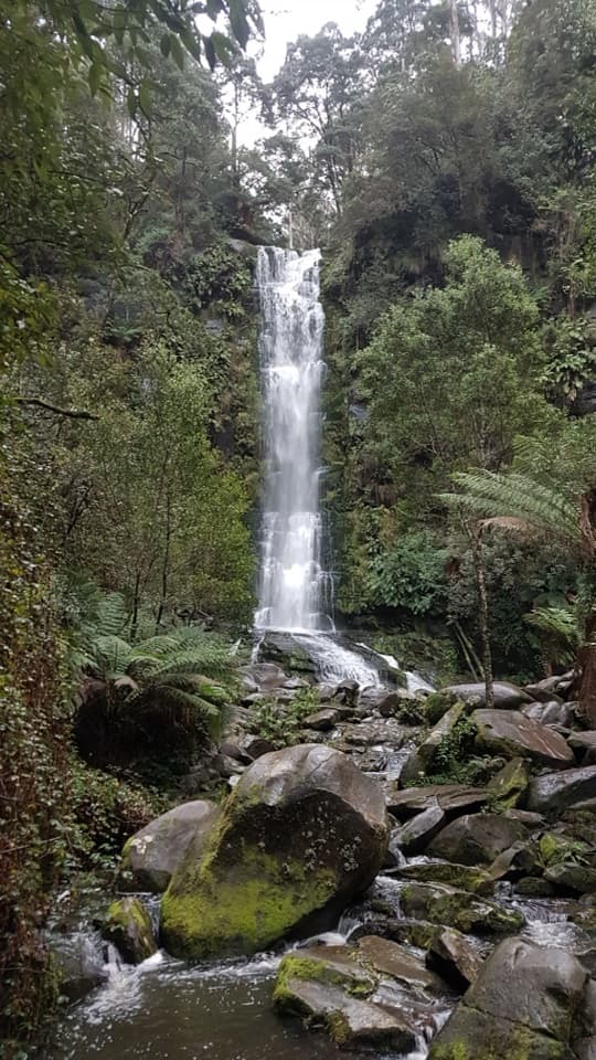 ChallengingErskine Falls Circuit Walk23 km · 8 hr · 2.3 km awayFive waterfalls, repeated creek crossings, and a full Lorne loop.
 ModerateAllenvale to Phantom Falls Walk3.4 km · 1.3 hr · 2.3 km awayA short climb ends at a rain-fed cascade above the river.Sight · 0.4 km awaySheoak FallsA short, stepped walk to a waterfall that varies with the rain.
 Sight · 0.5 km awaySwallow CaveA honeycombed shelter above Sheoak Creek's upper cascades.
 Sight · 1.8 km awayJebbs PoolA leafy gorge walk ends at cascades and a river pool
 Sight · 2 km awayTeddy's LookoutA short walk opens up the coast, river mouth and ocean.
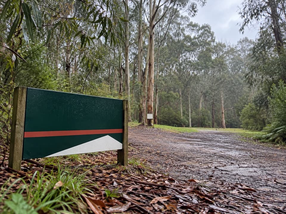 Campground · 2.1 km awayAllenvale CampgroundA leafy tent camp with a 230-metre walk for your gear.
 Picnic area · 2.4 km awaySheoak Picnic AreaA shady picnic base for Lorne's inland waterfall walks.
 Sight · 3 km awayWon Wondah FallsA quick, wooded waterfall pause on the way to a stronger one.
 Sight · 3.2 km awayThe CanyonEight-metre rock walls hide in a ferny waterfall walk.
Parkwolf’s Great Otway ranking

The audio tour guide for the drive, plus offline maps, trails, and wildlife heatmaps for when the signal drops.





