Parking
Start at the Whites Beach East car park near the Torquay end of Tip Road. Finish at Fairhaven Surf Life Saving Club; arrange a pickup or another vehicle for this one-way walk.

#8 of 83 trails in Great Otway
Great Otway National Park, VIC
Trace surf breaks, heath and dunes on a 41 km coastal traverse.
Overview
Map & elevation
Plan your hike

The highest, rockiest slopes around here are a summer buffet for grizzly bears.
Great Otway Tour Guide
Parkwolf is a GPS audio tour guide for Great Otway National Park. As you drive, it chimes in with what’s ahead: hidden gems, upcoming stops, history, geology, and wildlife, right through your car’s speakers.
See the Great Otway audio tourMore stories near here in the app
“Fantastic app with many points of information… It’s great to just turn on while you’re driving and it gives you an audio tour of the national Park. We love it!!!!”


Trail guide
The Surf Coast Walk is a 41 km one-way route from Whites Beach East in Torquay to Fairhaven Surf Life Saving Club. It follows coastal paths through Torquay and Jan Juc, crosses the Ironbark Basin and Point Addis area, passes Anglesea and Aireys Inlet, then finishes beside Split Point Lighthouse. The route has about 718 m of climbing and mixes level promenades with sandy tracks, steps, forest and beach. Plan for a full day on foot; allow around 11 hours for walking and brief stops.
This is a point-to-point walk, not a loop. Arrange a pickup at Fairhaven or split the route into shorter walks using the access points along the coast. The current start is Whites Beach East; older directions that start at Point Impossible include about 3 km more. Take the tide into account before the long beach section near Point Roadknight. The route authority allows dogs on leash.
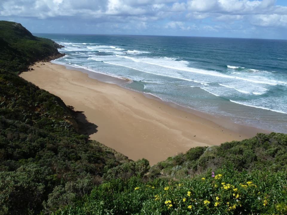
The northern end starts behind Whites Beach among dunes and coastal plants, then joins formed paths and a flat concrete promenade around Yellow Bluff and Point Danger. South of Torquay the route follows cliffs past Jan Juc, Bird Rock and the Bells Beach lookouts. Expect more steps and soft sand here than on the promenade. Jan Juc shops are a useful coffee stop beside the route, and Rocky Point looks back across the coastline.
From Bells Beach the walk turns inland through Ironbark Basin, where forest, grass trees and heath replace the open surf coast. There are short steep rises, steps and sandy patches. Near Point Addis, the Koorie Cultural Walk adds local cultural interpretation, and three lookouts open over the cliffs and Addiscot Beach. The contrast between shaded basin and exposed headland is one of the route’s best changes of pace.
The track continues along coastal heath, crossing beach and formed trail beneath vivid cliffs before reaching Anglesea. Short climbs and rugged steps make this more demanding than the town paths. At Point Addis, leave time for the marked lookouts; their views make this a natural shorter walk on its own if the full distance is too much.
Through Anglesea, the route follows easy riverbank paths near cafés, a playground and barbecues. It then climbs onto the bluff and descends to Point Roadknight Beach, with views over the river, town and ocean. This is a good place to break the long route into stages or stop for food before the more rugged coast south of town.
Between Point Roadknight and Urquhart Bluff, the walk follows the beach; it is best done at low tide. From Urquhart Bluff to Sunnymead, the route leaves the sand for rough coastal bushland with rugged steps and beach-sand sections. It passes remnants of the original Great Ocean Road and reaches a secluded cove. Keep to the signed track around the coast.
From Sunnymead, a narrow formed path with gentle hills leads toward Aireys Inlet and Split Point Lighthouse. Signed viewing platforms look out over the coast, and the route ends at Fairhaven Surf Life Saving Club. The lighthouse is a fitting last landmark, but remember that you still need transport from the finish back to Torquay.
Wildlife
 204 sightingsKoalaMost seen around 6 PMSighting map
 35 sightingsGrey KangarooMost seen around 6 AMSighting map
 109 sightingsEchidnaMost seen around 5 PMSighting map
 58 sightingsKookaburraMost seen around 6 AMSighting map
 97 sightingsSwamp WallabyMost seen around 6 PMSighting map
 20 sightingsBrushtail PossumMost seen around 8 PMSighting map
Sighting maps show where each species has been reported across Great Otway. Wildlife moves, so no sighting is guaranteed.
Keep exploring
 ModeratePoint Addis and Bells Beach Loop14.5 km · 4 hr · 11.4 km awayFrom forest to Bells Beach, finish along sand at low tide
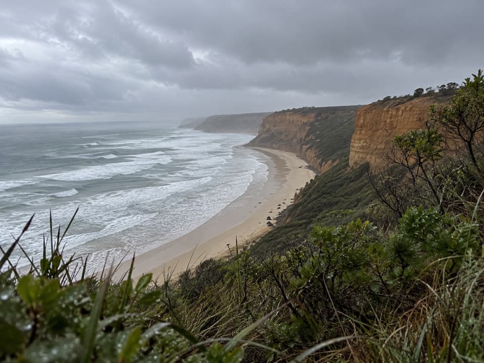 EasyKoorie Cultural Walk1.1 km · 1 hr · 11.4 km awayShort interpretive walk to a lookout above Addiscot Beach
 ModeratePoint Addis to Red Rocks Walk2.9 km · 1 hr · 11.4 km awayA beach-to-cliff coastal walk from Point Addis to Red Rocks.
 ModerateRed Rocks to Anglesea Walk5.1 km · 1.8 hr · 12.4 km awayCliff-top heath and surf, with steps up from Red Rocks.
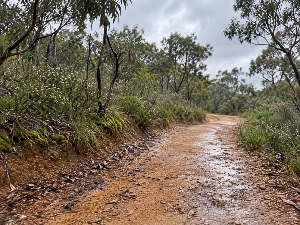 ModerateShiney Eye Circuit9.3 km · 3.5 hr · 13.1 km awayHeathland flowers and Anglesea views, with a steep finish
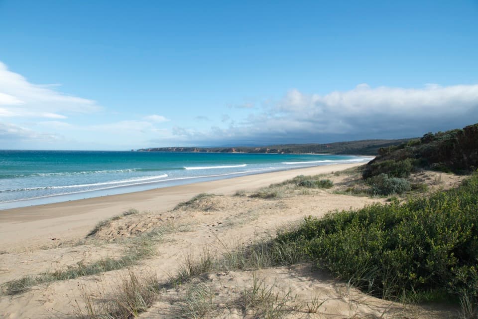 ModerateAnglesea to Aireys Inlet Walk13.4 km · 4 hr · 16.6 km awaySand, scrub, old-road remnants and a lighthouse make a full coast day.
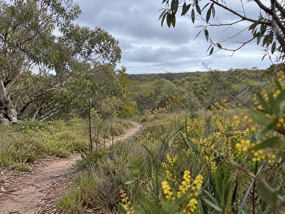 ModerateAnglesea Perimeter Walk22 km · 6.5 hr · 16.8 km awayA full-day circuit linking heath, wetlands and coast.
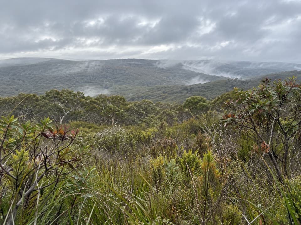 ModerateYan Wirring Mirr Loop4.5 km · 2 hr · 18.4 km awayHeath ridges, Salt Creek and coast views on a 4.5 km loop
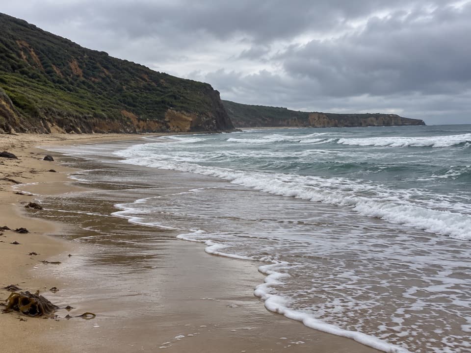 Beach · 8.7 km awaySouthside BeachCliff-backed surf and a marked clothing-optional stretch
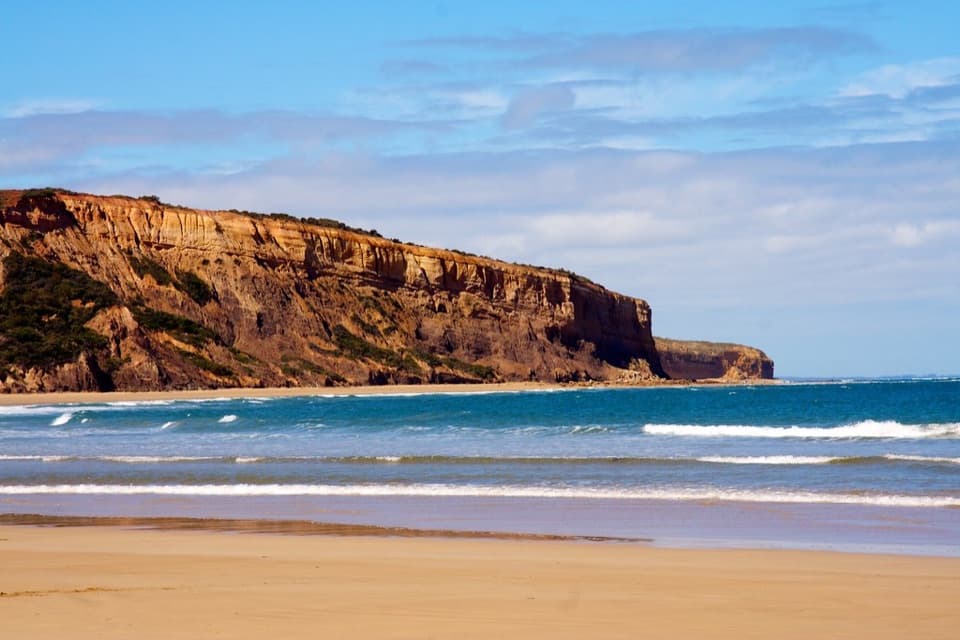 Beach · 9.1 km awayAddiscot BeachA long curve of sand beneath red cliffs and low-tide rockpools.
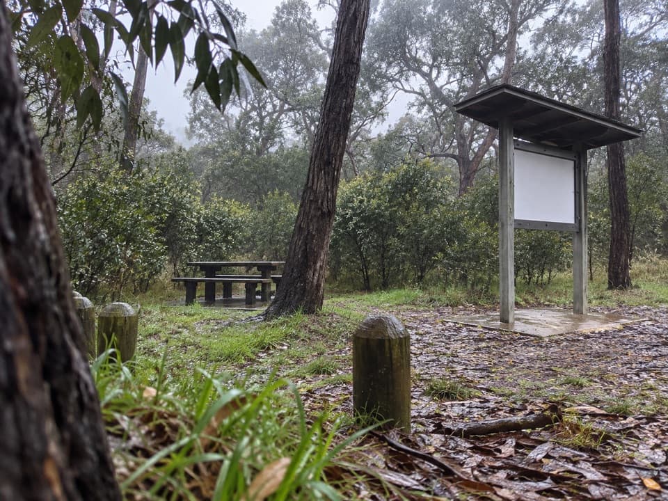 Picnic area · 10.3 km awayIronbark Basin Picnic AreaA picnic break with a short loop into ironbark woodland.Sight · 11.3 km awayPoint Addis Visitor AreaA clifftop boardwalk opens up Point Addis’s limestone coast.
Parkwolf’s Great Otway ranking

The audio tour guide for the drive, plus offline maps, trails, and wildlife heatmaps for when the signal drops.