Parking
Use the small paved pull-off on Newfound Gap Road (US-441), just beyond Carlos C. Campbell Overlook toward Chimneys Picnic Area. It has room for about four or five cars parked parallel to the road.
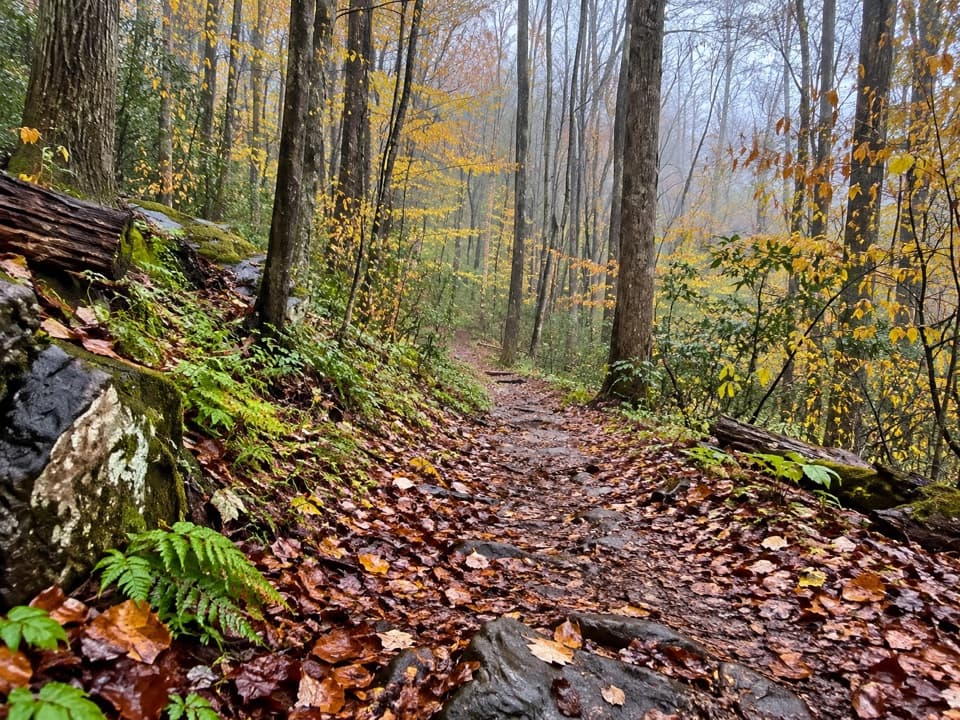
Great Smoky Mountains National Park, TN · NC
A short forest walk links a river path and a roadside overlook.
Overview
Map & elevation
Plan your hike

The highest, rockiest slopes around here are a summer buffet for grizzly bears.
Great Smoky Mountains Tour Guide
Parkwolf is a GPS audio tour guide for Great Smoky Mountains National Park. As you drive, it chimes in with what’s ahead: hidden gems, upcoming stops, history, geology, and wildlife, right through your car’s speakers.
See the Great Smoky Mountains audio tourRecorded for this area
Carlos Campbell Overlook“Up ahead is Carlos Campbell Overlook, a quick roadside stop for layered mountain ridges.”
Plays on the road 0.2 mi from the trailhead in the Parkwolf Great Smoky Mountains Tour Guide.
More stories near here in the app
“Fantastic app with many points of information… It’s great to just turn on while you’re driving and it gives you an audio tour of the national Park. We love it!!!!”


Trail guide
John Carr Place Quiet Walkway is a short out-and-back from a roadside pull-off on Newfound Gap Road. The mapped visit is about 0.46 miles if you take both branches and return to the car; allow around 20–30 minutes. A narrow dirt path descends gently to a T-junction. One branch drops to the Little Pigeon River’s West Prong; the other climbs to Carlos C. Campbell Overlook. It’s a handy leg-stretcher on the Newfound Gap Road drive, but the connected river walkway continues beyond this short route and adds its own mileage.
The river branch is steeper than the entry path and reaches the riverside walkway beside a broad, slightly tilted rock slab. Near the water, a fork offers a choice: the left line is a steep rocky wash, while the right is smoother and meets the walkway a little farther along.
The other branch rises toward Carlos C. Campbell Overlook. Its entry is a narrow dirt path edged by grass, then it broadens as it climbs. This spur is short; the longer walk along the river belongs to the connected quiet-walkway network, not this mileage.
In spring, this cove forest can have bloodroot, cutleaf toothwort, squirrel corn, and sharp-lobed liverleaf. Start at the small paved pull-off just beyond Carlos C. Campbell Overlook when heading toward Chimneys Picnic Area; there are only a few parallel spaces. Dogs aren’t allowed on this trail. The park permits pets only on the Gatlinburg and Oconaluftee River trails.
Wildlife
 1,566 sightingsBlack BearMost seen around 7 PMSighting map
 899 sightingsElkMost seen around 7 AMSighting map
 13 sightingsBald EagleMost seen around 9 AMSighting map
 142 sightingsTimber RattlesnakeMost seen around 6 PMSighting map
 26 sightingsBobcatMost seen around 8 PMSighting map
 42 sightingsRiver OtterMost seen around 7 AMSighting map
Sighting maps show where each species has been reported across Great Smoky Mountains. Wildlife moves, so no sighting is guaranteed.
Keep exploring
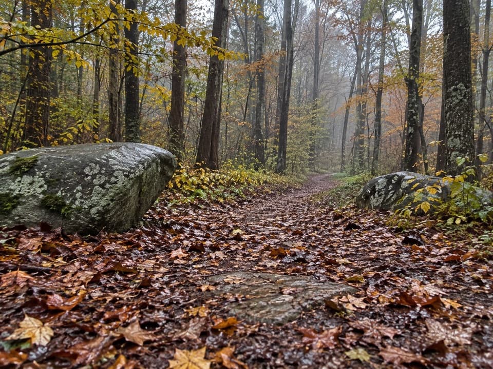 EasyRiverview Quiet Walkway0.9 mi · 45 min · 0.3 mi awayA short river loop with a smooth roadbed and rougher return.
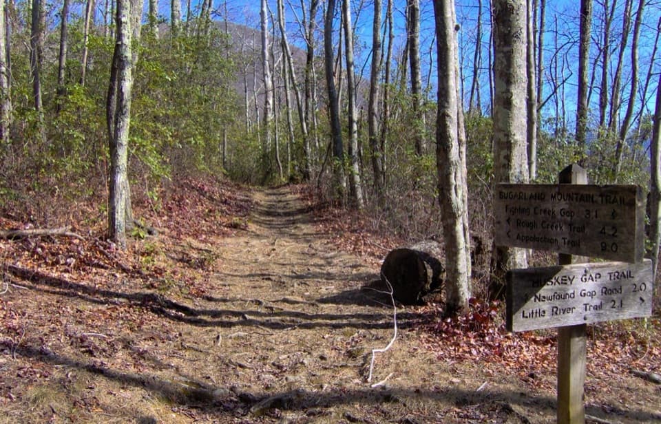 ModerateHuskey Gap Trail4 mi · 2.8 hr · 0.5 mi awayAn old stone wall and schoolhouse story reward the quiet climb.
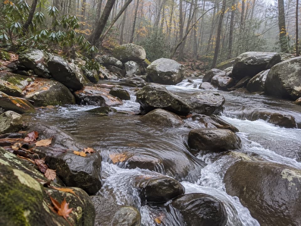 EasyBalsam Point Quiet Walkway0.4 mi · 30 min · 1 mi awayA short wooded loop with a rock-wall clearing and stream.
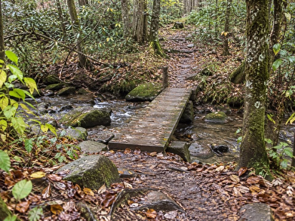 EasyBullhead View Quiet Walkway0.2 mi · 15 min · 1.1 mi awayA short riverside walk reached by steep steps and a creek bridge.
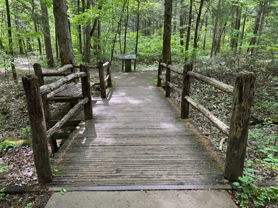 EasySugarlands Valley Nature Trail0.5 mi · 15 min · 1.6 mi awayA flat forest loop with chimneys, streamside views, and an easy pace.
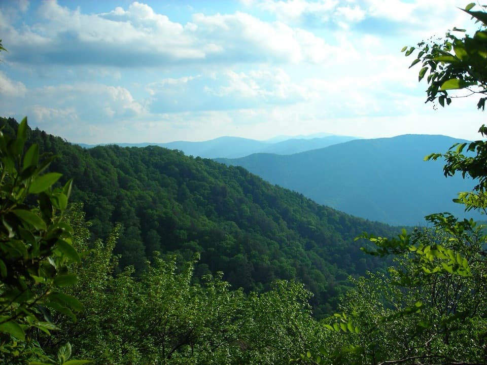 ChallengingBullhead Trail to Mount Le Conte13.6 mi · 10 hr · 1.9 mi awayA long, steep route to Le Conte with exposed ridge views.
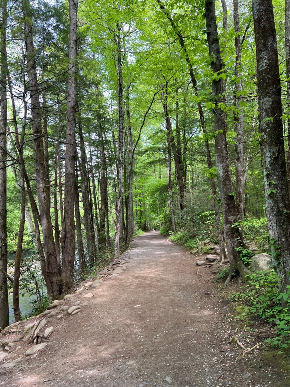 EasyGatlinburg Trail4 mi · 1.8 hr · 2.1 mi awayA gentle river walk where dogs and bikes are allowed.
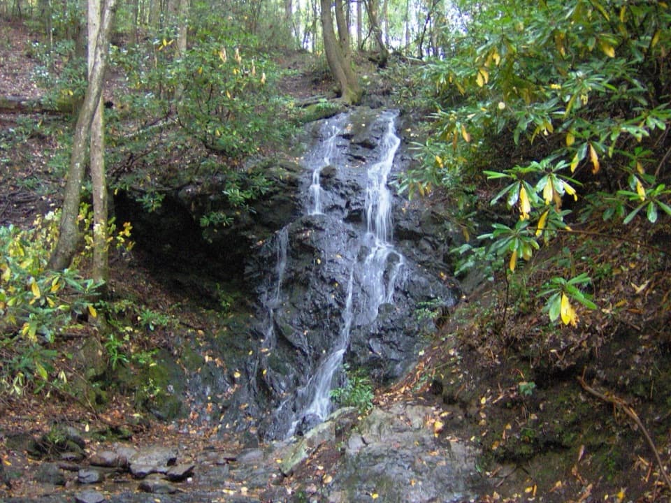 EasyCataract Falls Trail1.1 mi · 45 min · 2.1 mi awayA quick creekside walk leads to a narrow, 40-foot waterfall.
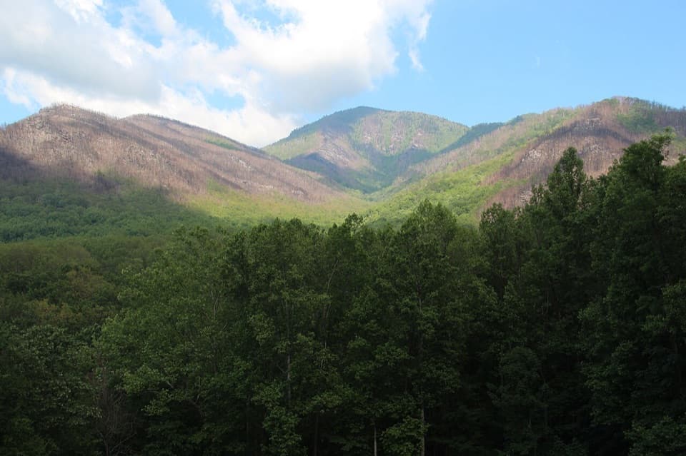 Scenic pullout · 0.2 mi awayCarlos Campbell OverlookA quick ridge view with a visible story of forest recovery.
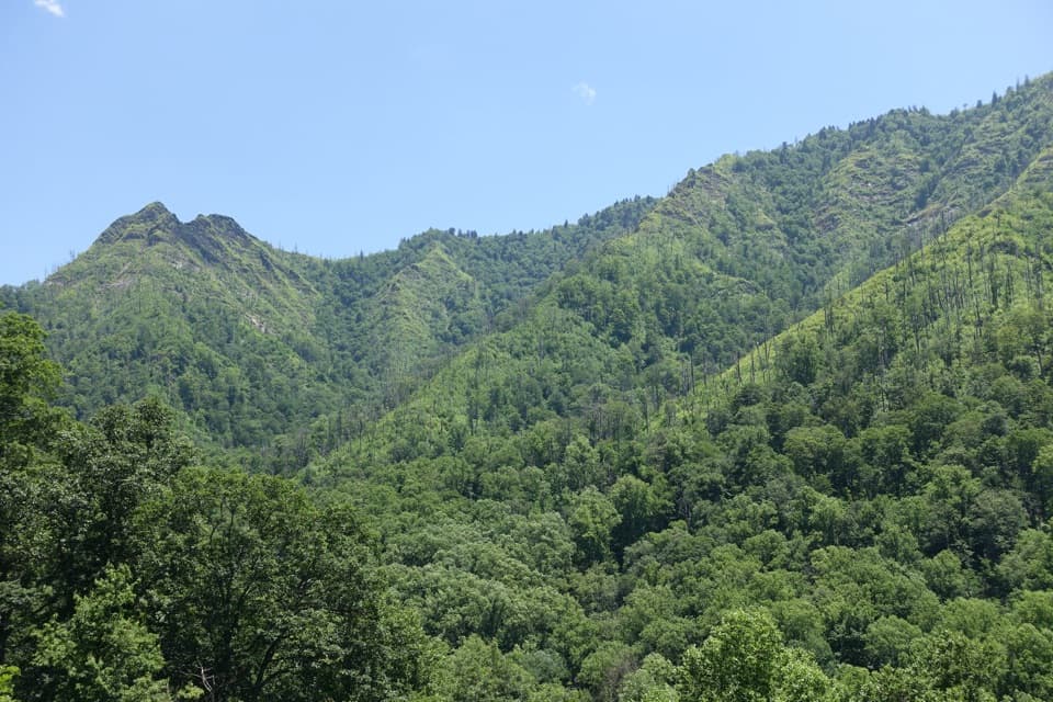 Scenic pullout · 2 mi awayChimney Tops OverlookStep out for the twin peaks without taking a hike.
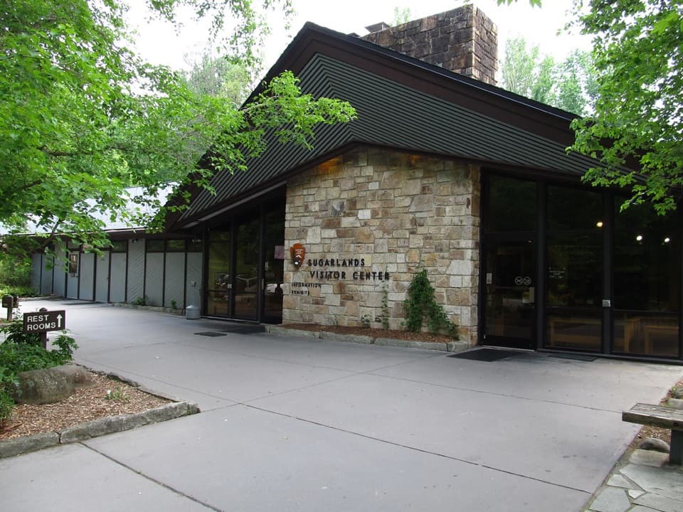 Visitor center · 2.1 mi awaySugarlands Visitor CenterGet your bearings with a bear exhibit, ranger advice, and trail map.
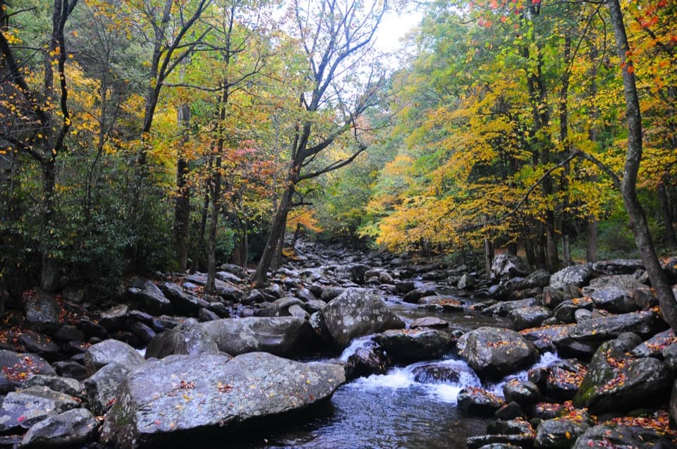 Picnic area · 2.2 mi awayChimneys Picnic AreaA shady lunch stop beside a cold, boulder-strewn river.
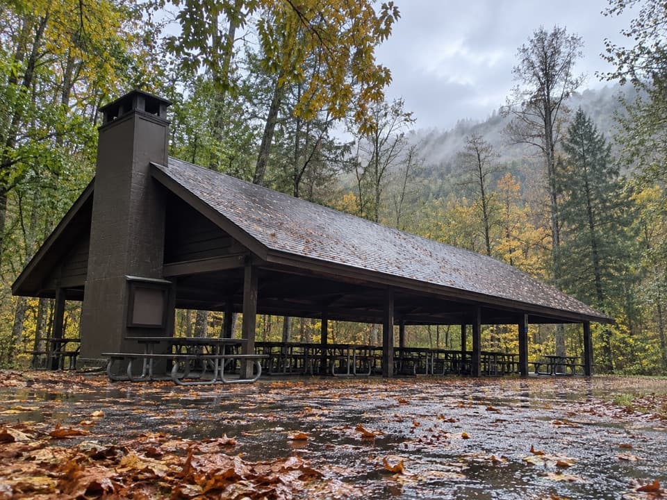 Picnic area · 2.3 mi awayTwin Creeks Picnic PavilionA wooded group pavilion for gatherings of up to 150.
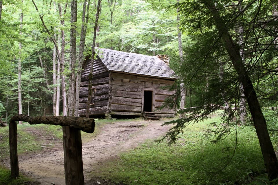 Sight · 2.3 mi awayJohn Ownby CabinA short wooded walk to Sugarlands' last standing home.
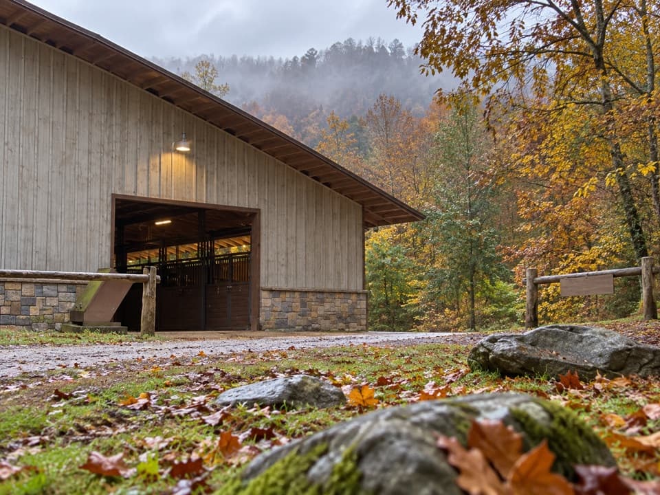 Sight · 2.3 mi awaySugarlands Riding StablesGuided rides on wooded trails, streams, and mountain terrain.
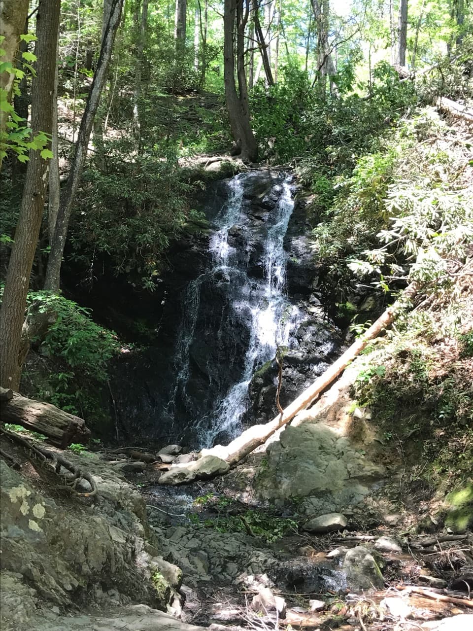 Sight · 2.4 mi awayCataract FallsA small waterfall after a short creekside walk from Sugarlands.
Parkwolf’s Great Smoky Mountains ranking

The audio tour guide for the drive, plus offline maps, trails, and wildlife heatmaps for when the signal drops.





