Parking
Use the paved Quiet Walkway Parking #4 pullout on Newfound Gap Road. Vehicles parked longer than 15 minutes require a park parking tag.
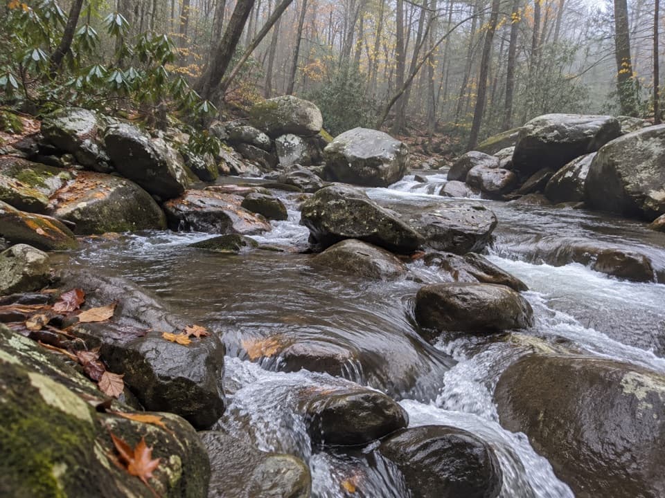
Great Smoky Mountains National Park, TN · NC
A short wooded loop with a rock-wall clearing and stream.
Overview
Map & elevation
Plan your hike

The highest, rockiest slopes around here are a summer buffet for grizzly bears.
Great Smoky Mountains Tour Guide
Parkwolf is a GPS audio tour guide for Great Smoky Mountains National Park. As you drive, it chimes in with what’s ahead: hidden gems, upcoming stops, history, geology, and wildlife, right through your car’s speakers.
See the Great Smoky Mountains audio tourRecorded for this area
A New Rack Every Year“If you see a bull elk with fuzzy antlers, you're looking at a new set still growing. That soft covering is called velvet, and its blood vessels feed the developing antlers.”
Plays near this trailhead in the Parkwolf Great Smoky Mountains Tour Guide.
More stories near here in the app
“Fantastic app with many points of information… It’s great to just turn on while you’re driving and it gives you an audio tour of the national Park. We love it!!!!”


Trail guide
Balsam Point Quiet Walkway is a short wooded loop reached by an access path from a Newfound Gap Road pullout. The full walk from the lot and back is about 0.36 mile; the circuit itself is about 0.21 mile. Allow around 30 minutes if you stop at the log bench and stream. It’s a good leg-stretcher when you want a small nature walk instead of a long hike. Pets aren’t allowed on this trail. Vehicles parked in the Smokies for more than 15 minutes need a parking tag.
The lightly graveled path reaches a split: one branch follows a rock wall on a relatively level line, while the other drops steeply to a log bench in a clearing. The loop comes back up on an easier grade. Take the steep descent slowly; you don’t need to add another route to see the walkway’s main features.
An opening in the rock wall leads to a flat spot beside a narrow stream. Spring observations have recorded Fringed Phacelia and daffodil foliage there. A short side path near the bench reaches a view of the West Prong, but it doesn’t make a clear connection to the longer river walk farther north, so return the way you came if you explore it.
Wildlife
 1,566 sightingsBlack BearMost seen around 7 PMSighting map
 899 sightingsElkMost seen around 7 AMSighting map
 13 sightingsBald EagleMost seen around 9 AMSighting map
 142 sightingsTimber RattlesnakeMost seen around 6 PMSighting map
 26 sightingsBobcatMost seen around 8 PMSighting map
 42 sightingsRiver OtterMost seen around 7 AMSighting map
Sighting maps show where each species has been reported across Great Smoky Mountains. Wildlife moves, so no sighting is guaranteed.
Keep exploring
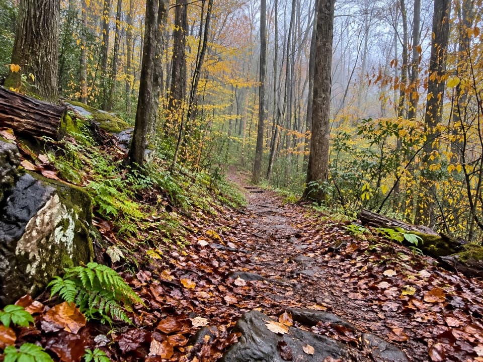 EasyJohn Carr Place Quiet Walkway0.5 mi · 24 min · 1 mi awayA short forest walk links a river path and a roadside overlook.
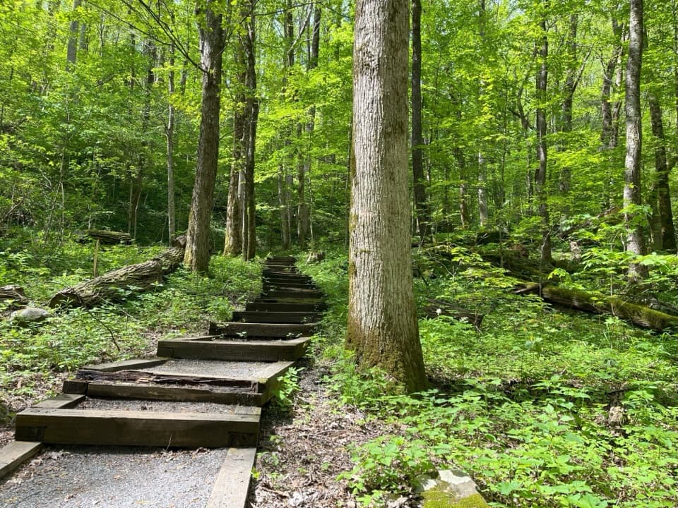 ModerateCove Hardwood Nature Trail0.8 mi · 45 min · 1.2 mi awayA shady hardwood loop with 40 steps up front.
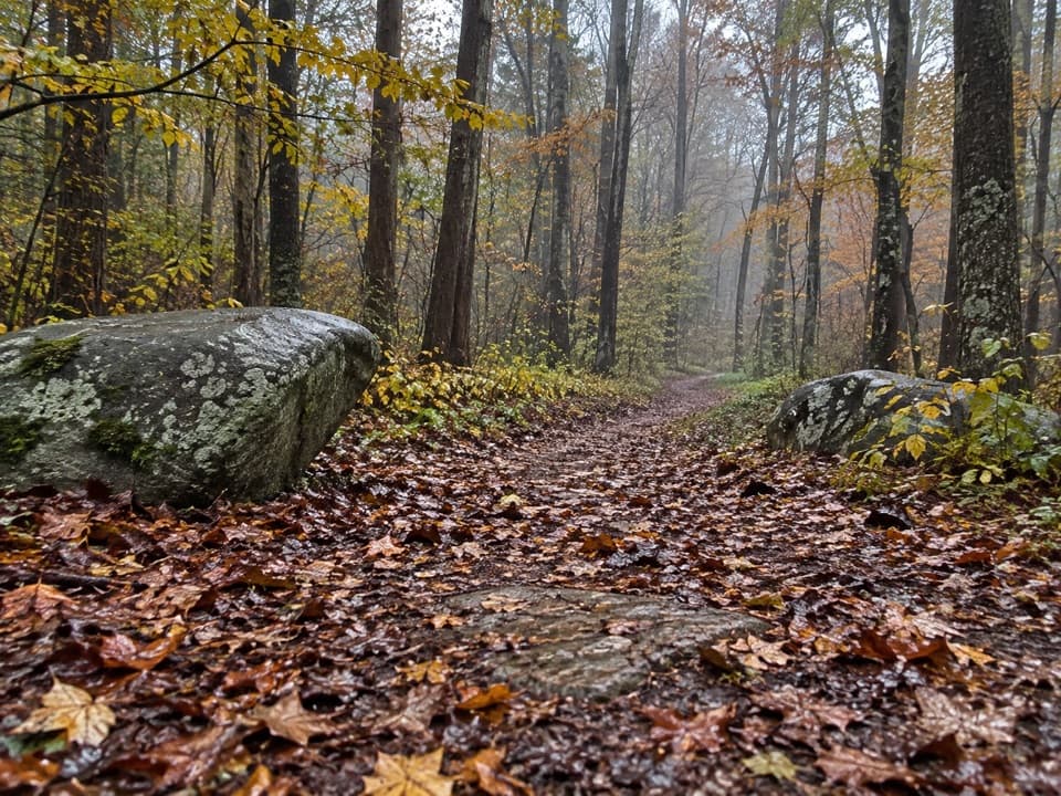 EasyRiverview Quiet Walkway0.9 mi · 45 min · 1.3 mi awayA short river loop with a smooth roadbed and rougher return.
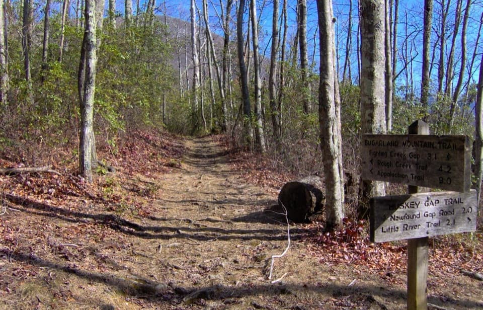 ModerateHuskey Gap Trail4 mi · 2.8 hr · 1.5 mi awayAn old stone wall and schoolhouse story reward the quiet climb.
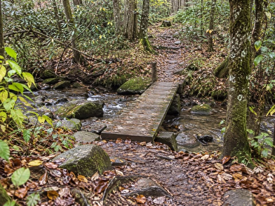 EasyBullhead View Quiet Walkway0.2 mi · 15 min · 2.1 mi awayA short riverside walk reached by steep steps and a creek bridge.
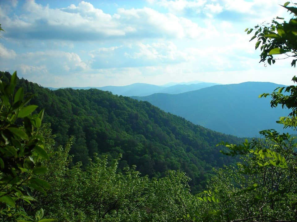 ChallengingBullhead Trail to Mount Le Conte13.6 mi · 10 hr · 2.1 mi awayA long, steep route to Le Conte with exposed ridge views.
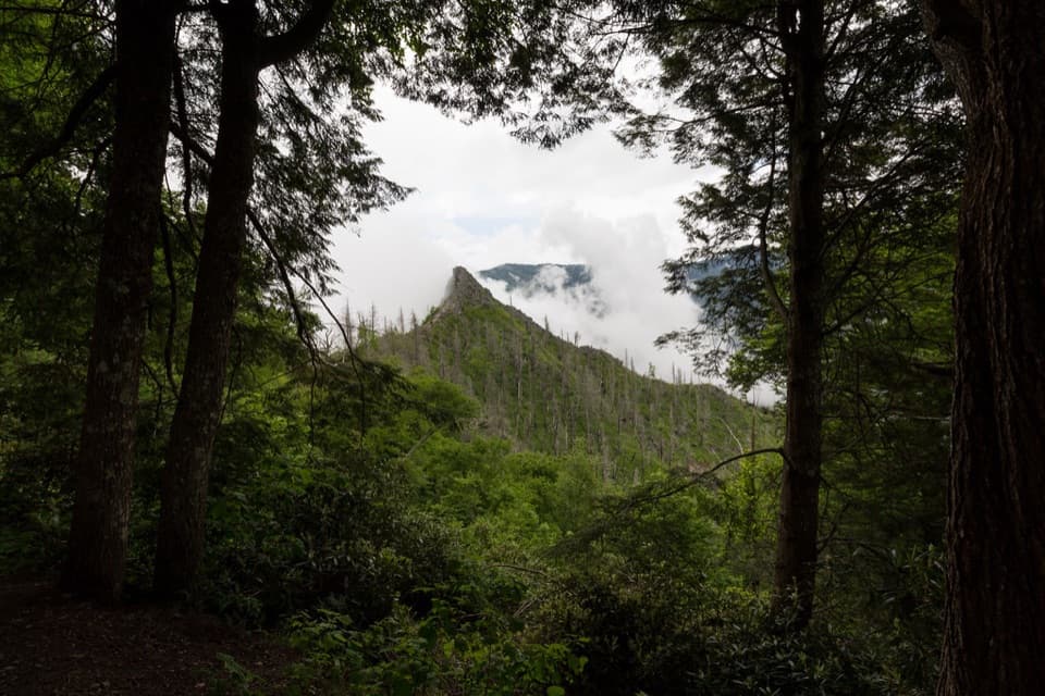 ChallengingChimney Tops Trail3.5 mi · 2.5 hr · 2.4 mi awayA steep stair climb ends at a view of the fire-scarred pinnacles.
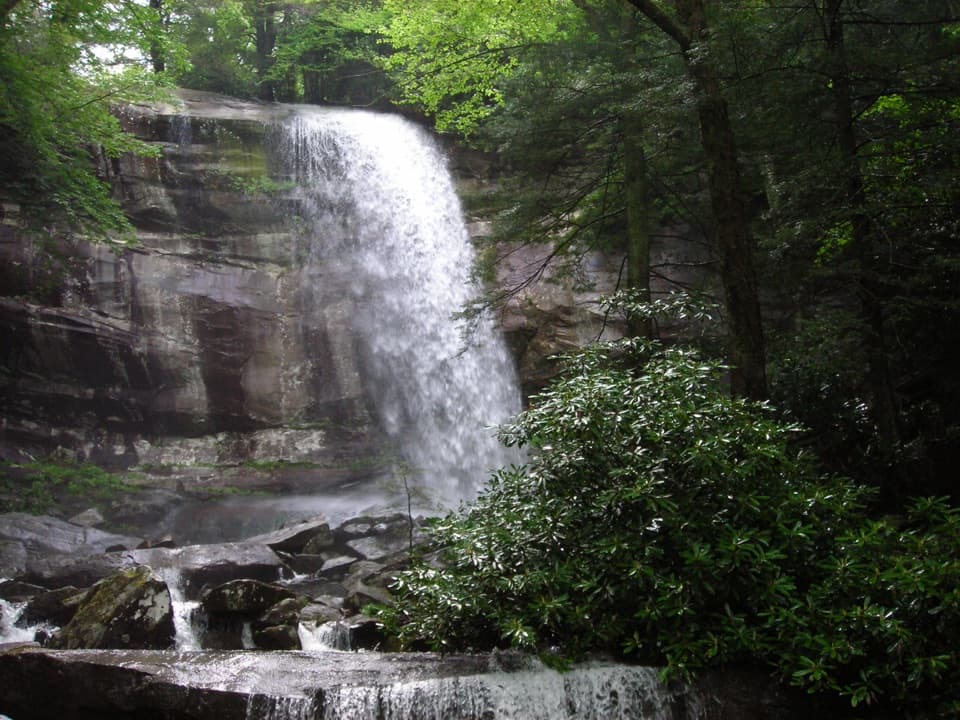 ChallengingRainbow Falls Trail5.6 mi · 4.5 hr · 2.4 mi awayClimb a boulder-lined creek valley to an 80-foot waterfall.
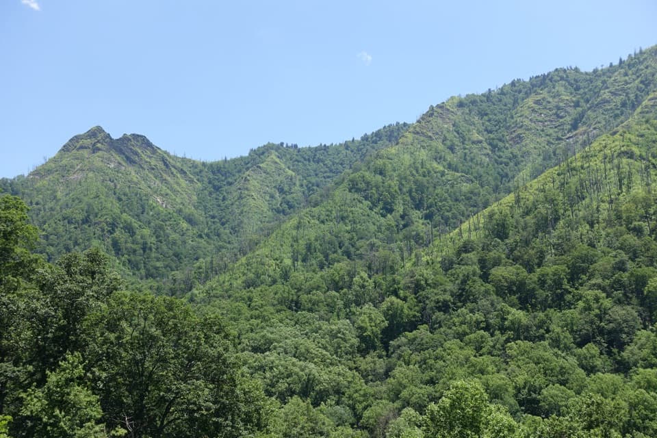 Scenic pullout · 1.1 mi awayChimney Tops OverlookStep out for the twin peaks without taking a hike.
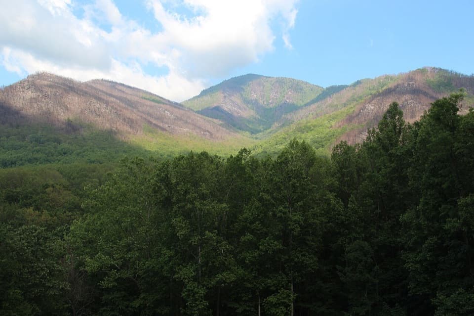 Scenic pullout · 1.2 mi awayCarlos Campbell OverlookA quick ridge view with a visible story of forest recovery.
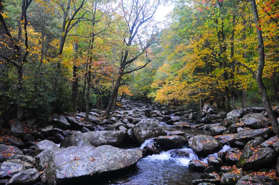 Picnic area · 1.3 mi awayChimneys Picnic AreaA shady lunch stop beside a cold, boulder-strewn river.
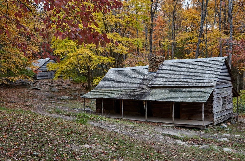 Sight · 2.8 mi awayNoah Bud Ogle PlaceA rare saddlebag cabin beside a creek-powered mill.Sight · 2.8 mi awayRainbow FallsA steep Smokies climb to a waterfall named for its rainbows.
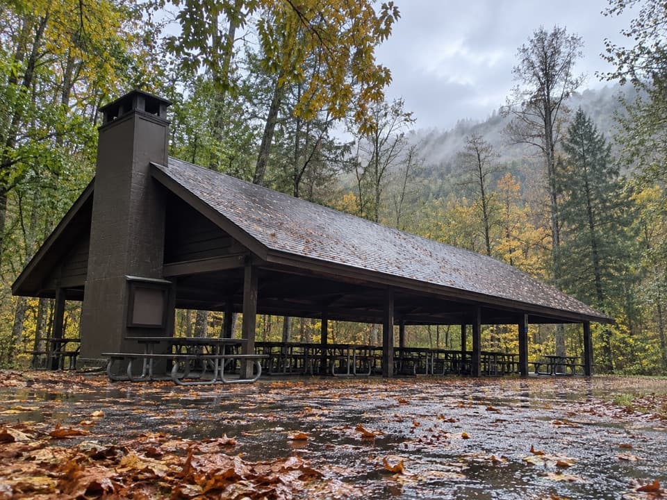 Picnic area · 2.9 mi awayTwin Creeks Picnic PavilionA wooded group pavilion for gatherings of up to 150.
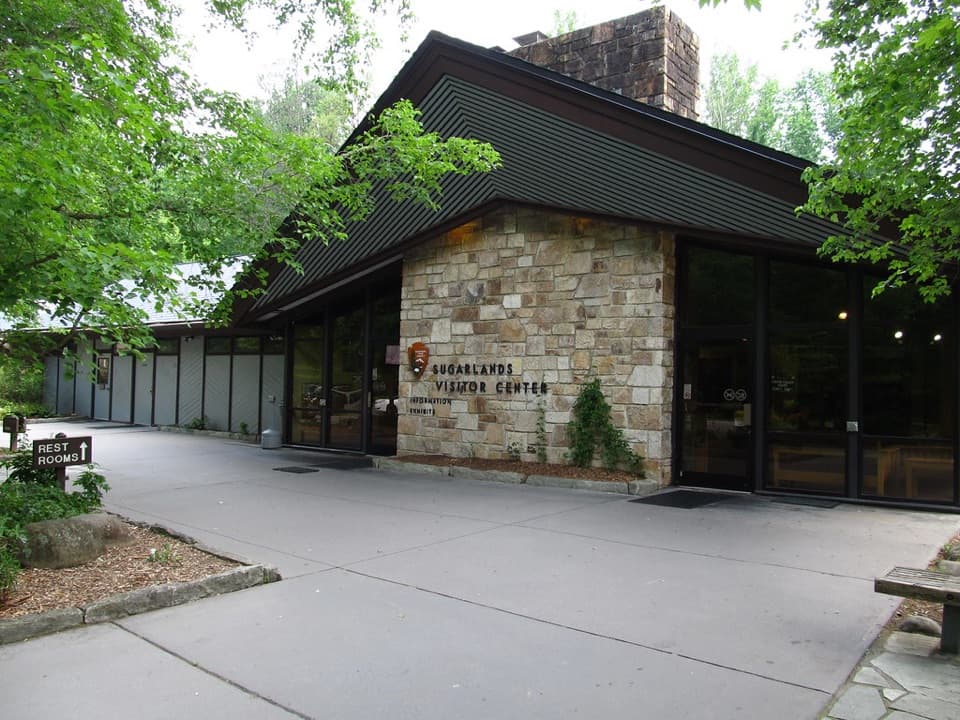 Visitor center · 3.1 mi awaySugarlands Visitor CenterGet your bearings with a bear exhibit, ranger advice, and trail map.
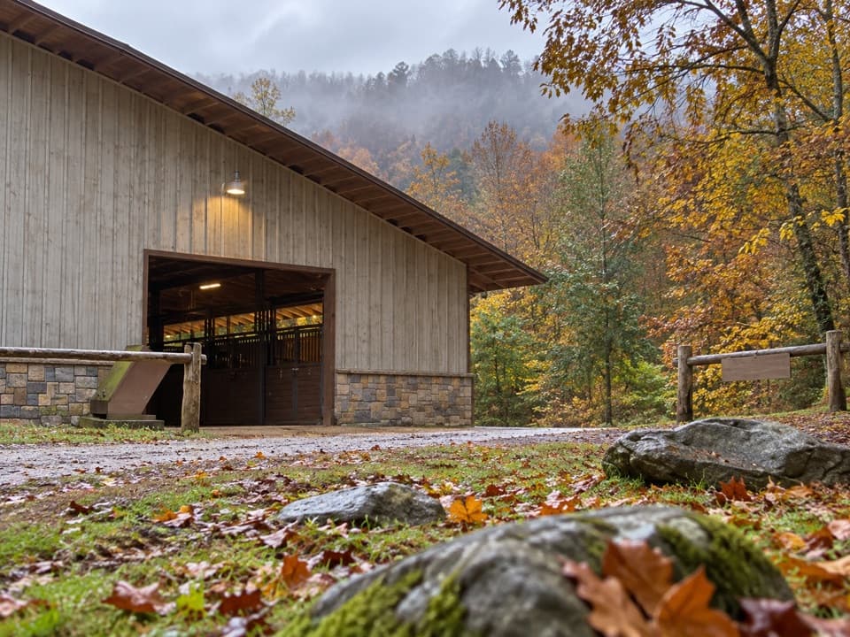 Sight · 3.3 mi awaySugarlands Riding StablesGuided rides on wooded trails, streams, and mountain terrain.
Parkwolf’s Great Smoky Mountains ranking

The audio tour guide for the drive, plus offline maps, trails, and wildlife heatmaps for when the signal drops.





