Parking
I couldn’t confirm dedicated parking at either endpoint. The trail starts at Purchase Gap on Cataloochee Divide Trail and ends at Caldwell Fork Trail; plan access through the connected trail network.
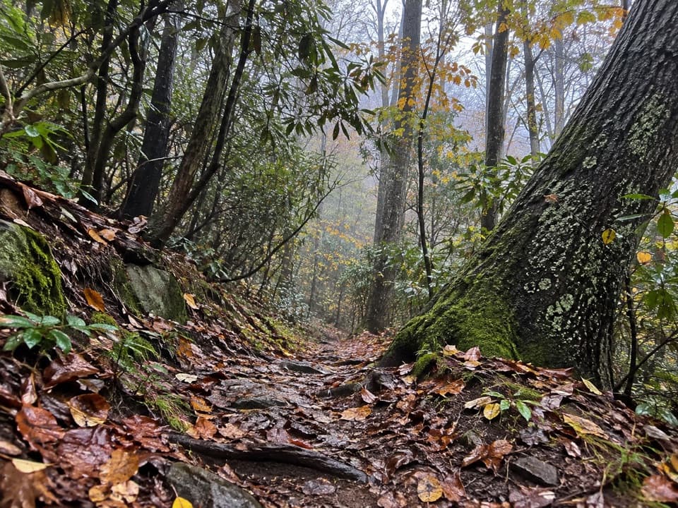
Great Smoky Mountains National Park, TN · NC
A steep forest connector from Purchase Gap to Caldwell Fork.
Overview
Map & elevation
Plan your hike

The highest, rockiest slopes around here are a summer buffet for grizzly bears.
Great Smoky Mountains Tour Guide
Parkwolf is a GPS audio tour guide for Great Smoky Mountains National Park. As you drive, it chimes in with what’s ahead: hidden gems, upcoming stops, history, geology, and wildlife, right through your car’s speakers.
See the Great Smoky Mountains audio tourRecorded for this area
A Journey Across Generations“A monarch passing through the Smokies in autumn may be on a journey its grandparents never made. The northward migration unfolds across several generations, with each laying eggs and leaving its offspring to continue.”
Plays on the road 0.4 mi from the trailhead in the Parkwolf Great Smoky Mountains Tour Guide.
More stories near here in the app
“Fantastic app with many points of information… It’s great to just turn on while you’re driving and it gives you an audio tour of the national Park. We love it!!!!”


Trail guide
McKee Branch Trail is a 2.3-mile one-way descent from Purchase Gap on Cataloochee Divide Trail to Caldwell Fork Trail. It links two routes rather than making a loop, so plan how you’ll reach each end before setting out. Budget about two hours downhill; add time if you want to stop at the creek or move slowly over the rough tread.
The trail drops about 1,750 feet through thick forest. The tread is steep and eroded in places, with loose rock, mud, and leaf cover. Wet leaves can hide slippery rocks, so take your time on the descent. At about two miles, the route crosses McKee Branch; the crossing can take extra care when water is high.
Both ends are trail junctions, and I couldn’t confirm dedicated parking at either one. Plan your approach and exit through the connected Cataloochee Divide and Caldwell Fork trails; retracing the route means climbing most of that elevation back out. Dogs aren’t allowed on this trail under park rules.
Wildlife
 1,566 sightingsBlack BearMost seen around 7 PMSighting map
 899 sightingsElkMost seen around 7 AMSighting map
 13 sightingsBald EagleMost seen around 9 AMSighting map
 142 sightingsTimber RattlesnakeMost seen around 6 PMSighting map
 26 sightingsBobcatMost seen around 8 PMSighting map
 42 sightingsRiver OtterMost seen around 7 AMSighting map
Sighting maps show where each species has been reported across Great Smoky Mountains. Wildlife moves, so no sighting is guaranteed.
Keep exploring
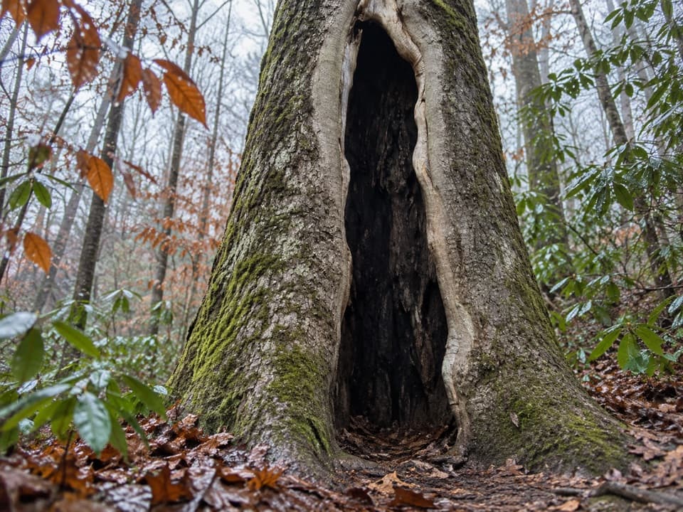 ModerateBoogerman Loop Trail7.5 mi · 5 hr · 3.3 mi awayCreek crossings, giant old-growth trees, and mountain homestead traces
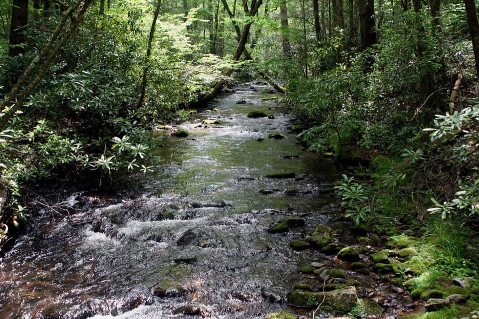 ModerateCaldwell Fork Trail6.3 mi · 4 hr · 3.3 mi awayCreekside miles past old farm traces and a school site
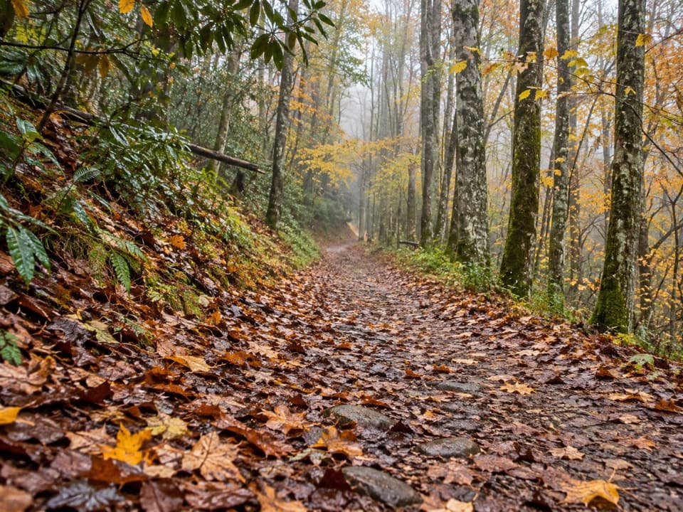 ModerateBig Fork Ridge Loop Trail9.3 mi · 5.5 hr · 3.3 mi awayRugged 9.3-mile loop with creek crossings and a Balsam Mountain view.
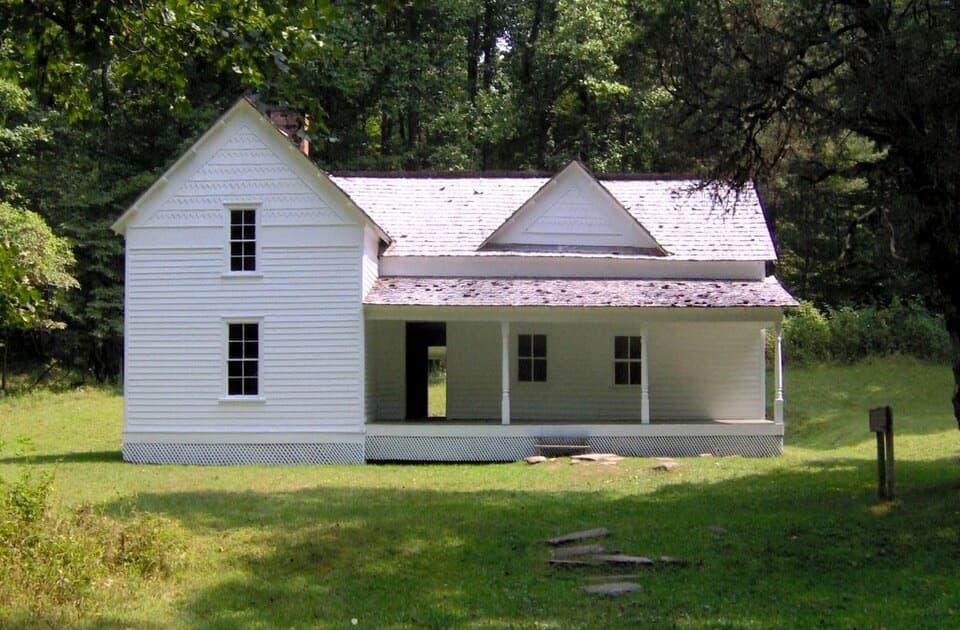 EasyRough Fork Trail to Steve Woody House2 mi · 1.3 hr · 3.3 mi awayA gentle creekside walk to a historic Cataloochee homestead.
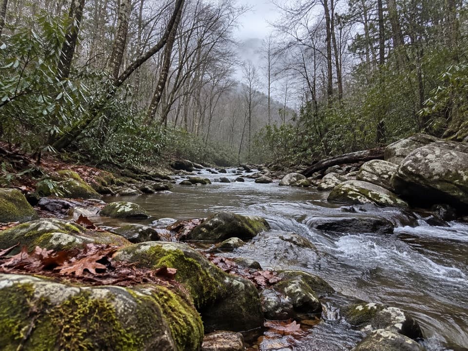 EasyCataloochee Horse Trail3.1 mi · 1.5 hr · 3.5 mi awayA creekside walk along the old road through Big Cataloochee.
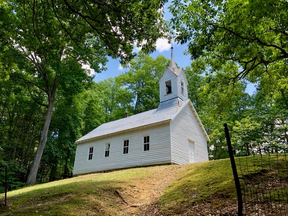 ChallengingLittle Cataloochee Trail12.1 mi · 6.5 hr · 3.5 mi awayA long, rolling hike to cabins, a church, and mountain history
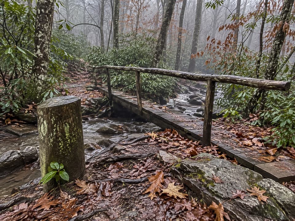 ChallengingPretty Hollow Gap Trail10.9 mi · 7.5 hr · 3.5 mi awayFollow a creek into a steep climb toward the Smokies ridge.
 ModerateCataloochee Divide Trail6.3 mi · 4.5 hr · 3.8 mi awayA boundary ridge hike to Purchase Knob's science center and pioneer cabin.
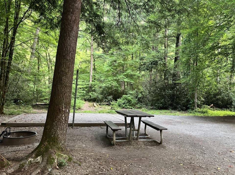 Campground · 3.3 mi awayCataloochee CampgroundCamp in a remote valley of old homesteads and elk country.Sight · 3.3 mi awaySteve Woody HouseA streamside walk ends at Cataloochee's historic farmstead.
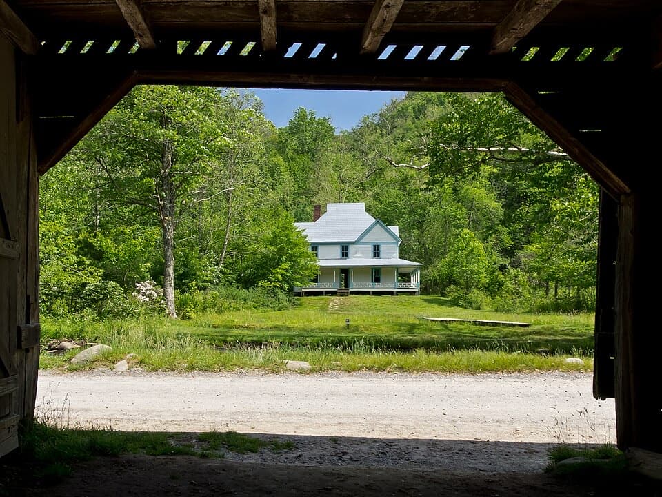 Sight · 3.4 mi awayCaldwell PlaceOld newspaper still lines the walls of this mountain home.
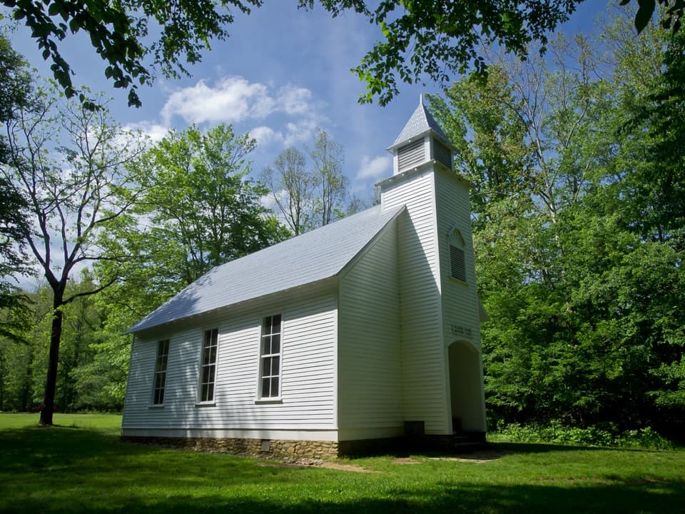 Sight · 3.4 mi awayPalmer ChapelA small valley church with a big role in Cataloochee's story.
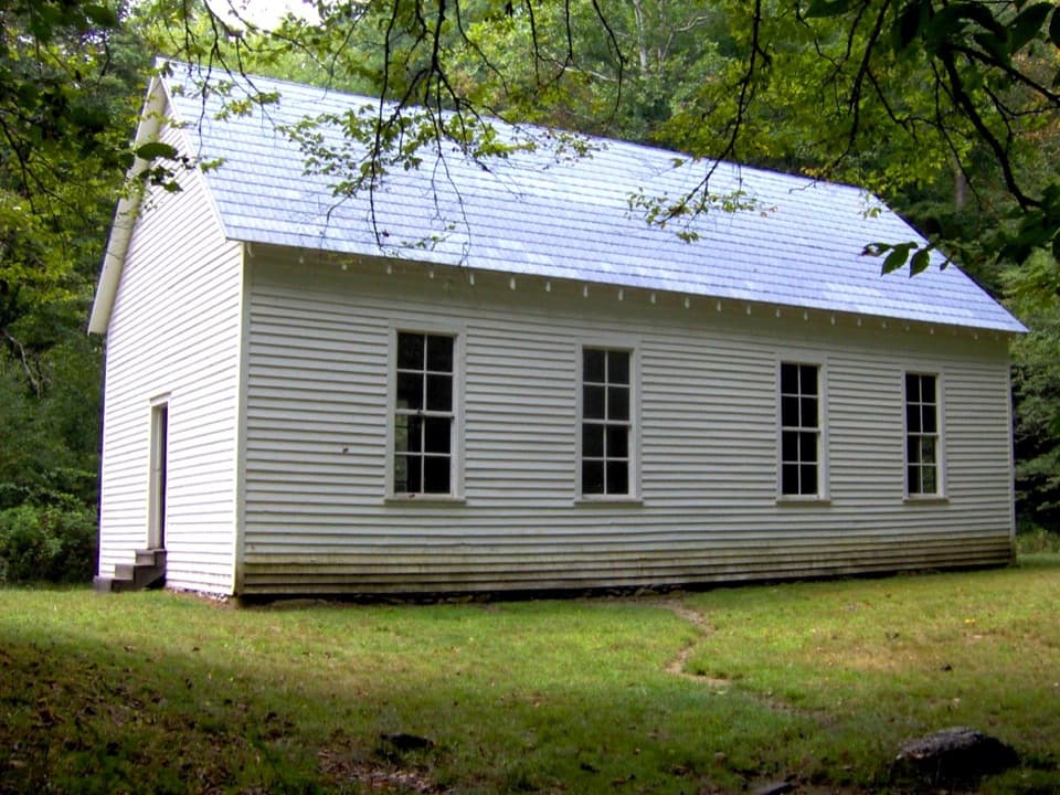 Sight · 3.6 mi awayBeech Grove SchoolA 1901 schoolhouse with a local story about fire.
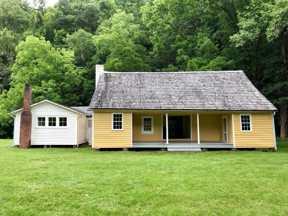 Sight · 3.9 mi awayJarvis Palmer HouseTwo log cabins under one roof became a Cataloochee homestead.
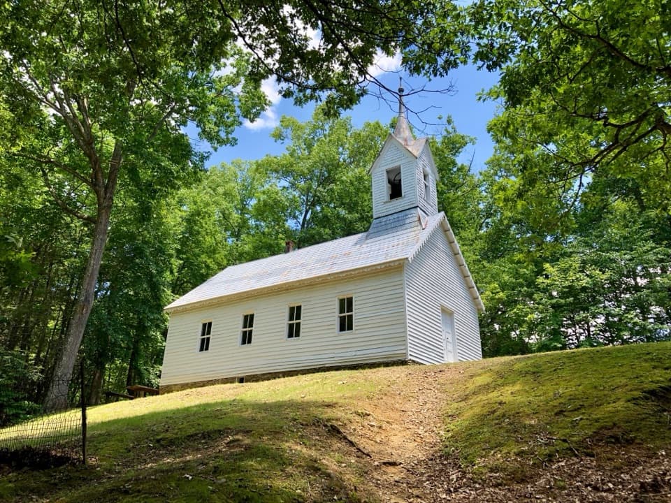 Sight · 5.6 mi awayLittle Cataloochee Baptist ChurchAn 1889 chapel with its original 400-pound bell rewards the hike
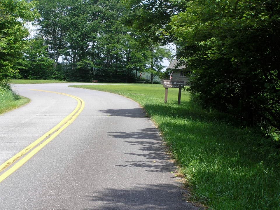 Campground · 5.7 mi awayBalsam Mountain CampgroundA cool, high-country stay at 5,310 feet.
Parkwolf’s Great Smoky Mountains ranking

The audio tour guide for the drive, plus offline maps, trails, and wildlife heatmaps for when the signal drops.





