Pretty Hollow Gap Trail in Great Smoky Mountains National Park

Great Smoky Mountains National Park, TN · NC

Pretty Hollow Gap Trail

Follow a creek into a steep climb toward the Smokies ridge.

Length
10.9mi
Time
7.5hr
Elev. change
2,428ft
Difficulty
Challenging
  • No dogs
  • High point 5,217 ft

Hear the audio tour

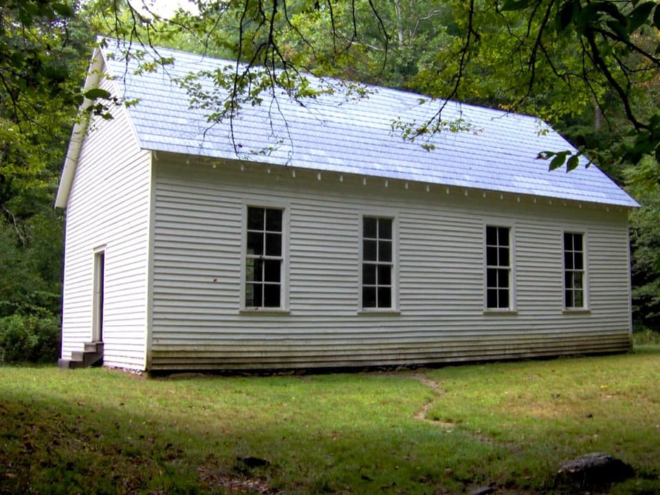
Beech Grove School

Overview

About Pretty Hollow Gap Trail

Why go

  • A long creekside walk through Indian Flats and mature cove forest into high-elevation evergreens.
  • A clear destination at the ridge junction, with a distinct change in forest along the climb.

Heads up

  • The full return is about 10.9 miles with roughly 2,400 feet of climbing.
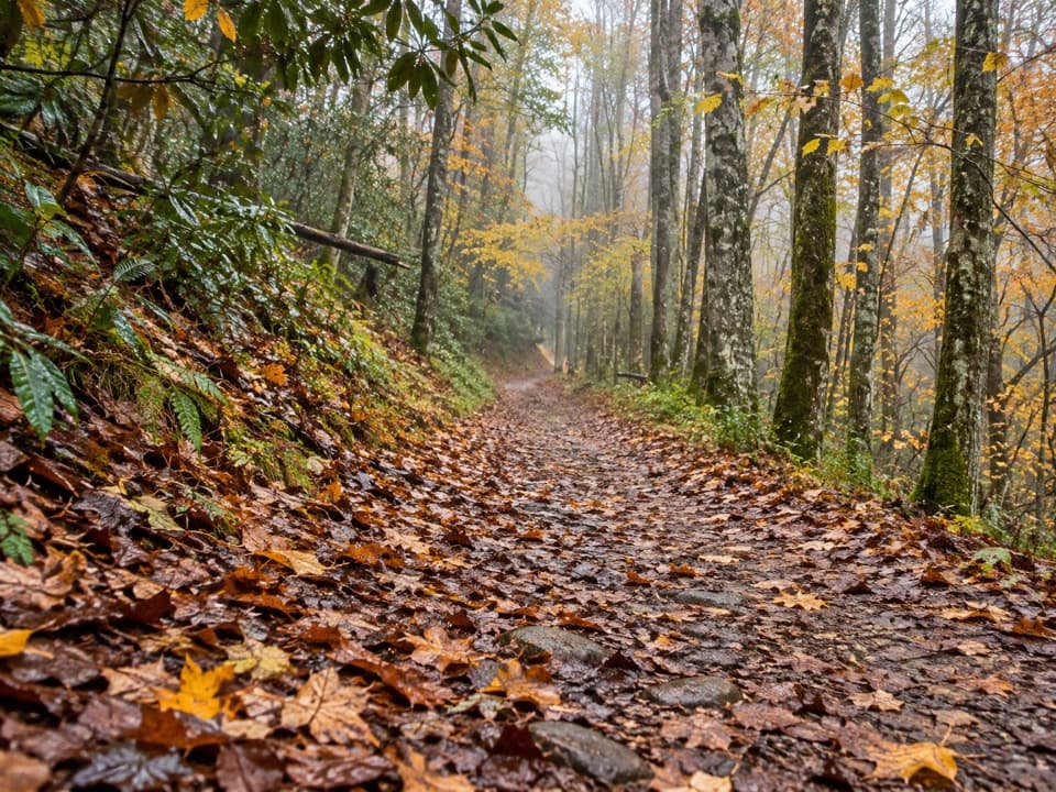
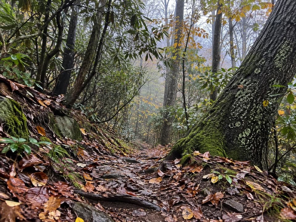
  • Rooty, muddy footing, several creek crossings and a sustained eroded upper climb.

Map & elevation

The route

Loading the Great Smoky Mountains map
Full map
Elevation2,789–5,217 ft
TrailheadPretty Hollow Gap Trailhead, near Beech Grove School35.62665, -83.11249
Keep this map with you offline in the Parkwolf app

Plan your hike

Before you go

Parking

Start at the gated gravel access beside Cataloochee Road near Beech Grove School; the route continues past the horse camp. A formal lot or parking capacity at the gate was not confirmed. The valley entrance is a narrow, winding gravel road with steep unguarded drop-offs and horse-trailer traffic.

Safety

Uneven, muddy footing and several creek crossings; water and tread are harder to judge after rain. The upper climb is narrow and eroded. No potable water was confirmed on the trail, and pets are prohibited.

7 active Great Smoky Mountains alerts

  • ClosureHurricane Helene backcountry trail closures and hazardsHurricane Helene damage has closed backcountry trails and left hazardous crossings; avoid closed routes and heed trail-specific restrictions.Official details
  • CautionBear-related trail, road, shelter, and campsite restrictionsBear activity has closed trails, a shelter, and campsites and restricted pedestrian access on Cherokee Orchard Road; follow the vehicle restrictions and avoid closed areas.Official details
See all 7 alerts
A park ranger sits on a dash-mounted phone, talking, as Parkwolf’s Tour Guide plays “Army Cutworm Moths: A Grizzly Bear Buffet” on Grand Loop Road below Dunraven Pass in Yellowstone
Parkwolf Tour GuideThe highest, rockiest slopes around here are a summer buffet for grizzly bears.

Great Smoky Mountains Tour Guide

Your drive to Pretty Hollow Gap Trail, narrated.

Parkwolf is a GPS audio tour guide for Great Smoky Mountains National Park. As you drive, it chimes in with what’s ahead: hidden gems, upcoming stops, history, geology, and wildlife, right through your car’s speakers.

See the Great Smoky Mountains audio tour

Recorded for this trailhead

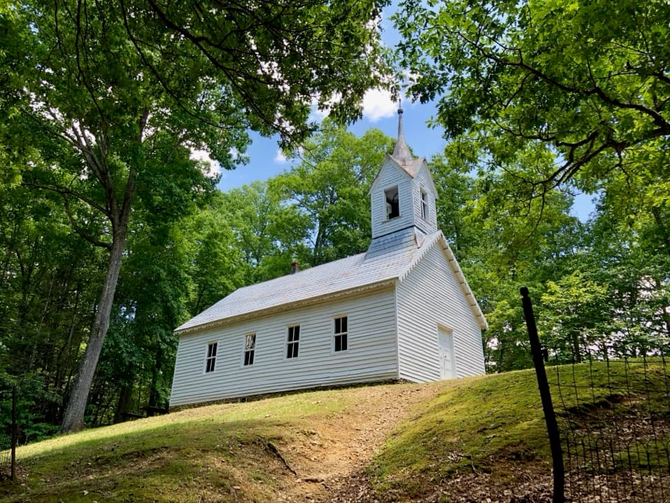
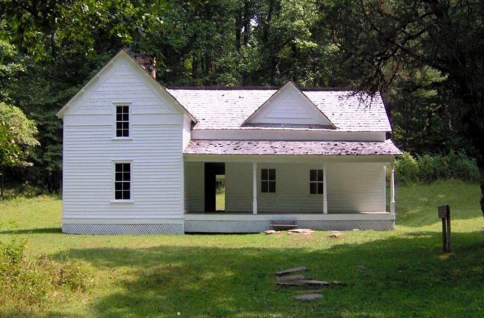
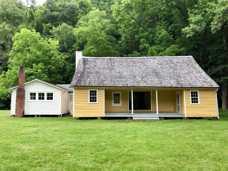
Beech Grove School
0:00 / 0:34
“Beech Grove School is coming up, a two-room schoolhouse reached by a short walk across Palmer Creek. Cross the wooden footbridge near Pretty Hollow Gap, then follow the walkway to the building.”

Plays as you drive up to this trailhead in the Parkwolf Great Smoky Mountains Tour Guide.

More stories near here in the app

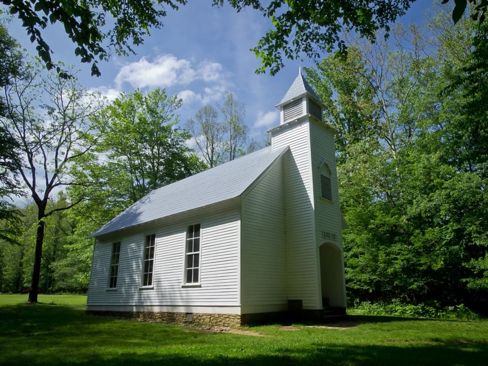
  • Palmer Chapel
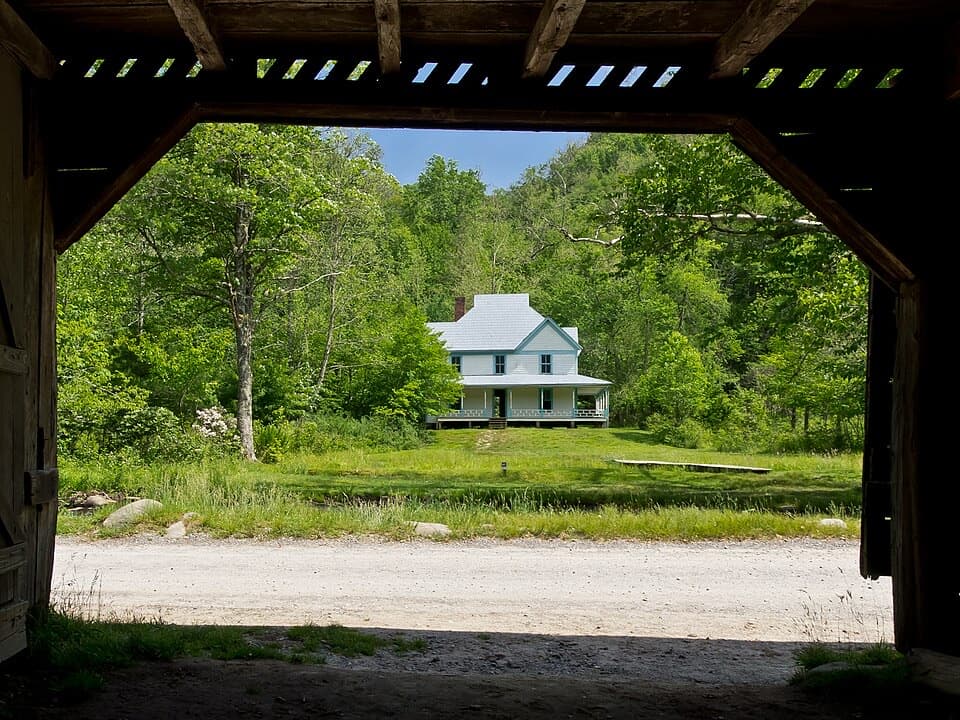
  • Caldwell Place
  • Rough Fork Trailhead and Steve Woody House
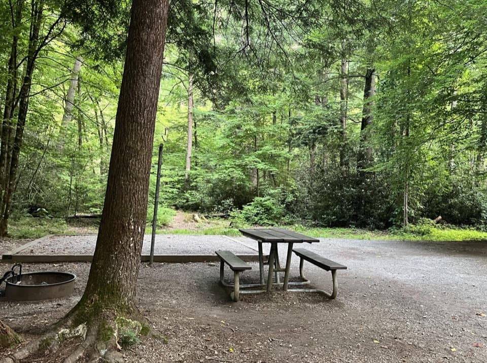
  • Cataloochee Campground and Caldwell Fork
  • 188 audio storiesacross Great Smoky Mountains’s roads, triggered by GPS as you drive
  • Wildlife heatmapsfor Black Bear, Elk, Bald Eagle, and 13 more
  • Works offlinemaps, 197 trails, 100 places, and audio download before you lose signal
  • CarPlay readysimple controls built for the drive
★★★★★
“Fantastic app with many points of information… It’s great to just turn on while you’re driving and it gives you an audio tour of the national Park. We love it!!!!”
JMJamesApp Store review
Download Parkwolf on the App StoreGet Parkwolf on Google Play

4.7 from 8,600+ ratings

Trail guide

Hiking Pretty Hollow Gap Trail

A creek-valley route with a long returnPretty Hollow Gap Trail is a 10.

Pretty Hollow Gap Trail is a 10.87-mile out-and-back from Cataloochee Valley to Pretty Hollow Gap, with about 2,400 feet of climbing. From the gated access near Beech Grove School, the route follows gravel road past the horse camp, then narrows into creekside trail and climbs to the Mount Sterling Ridge and Swallow Fork junction. Plan about seven to eight hours. The full mapped line is about 5.44 miles one way, including the gate-to-trail access; figures published elsewhere vary and do not all make the turnaround clear.

The creek keeps you companyThe lower route passes Indian Flats, where Palmer Creek meets Pretty Hollow Creek, then follows…

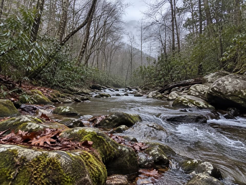
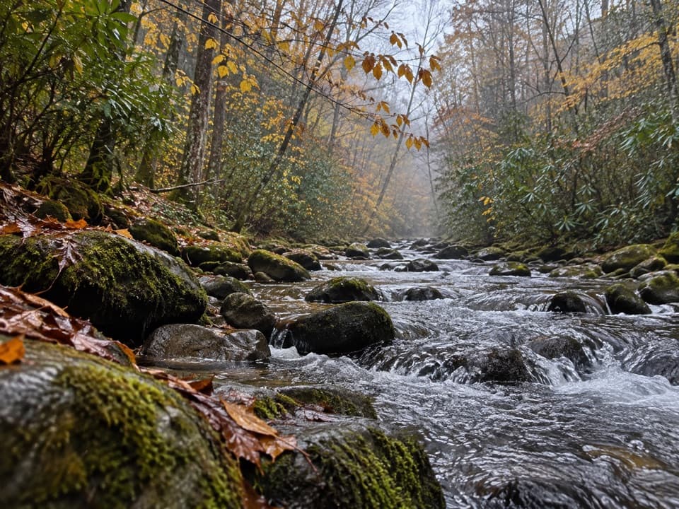
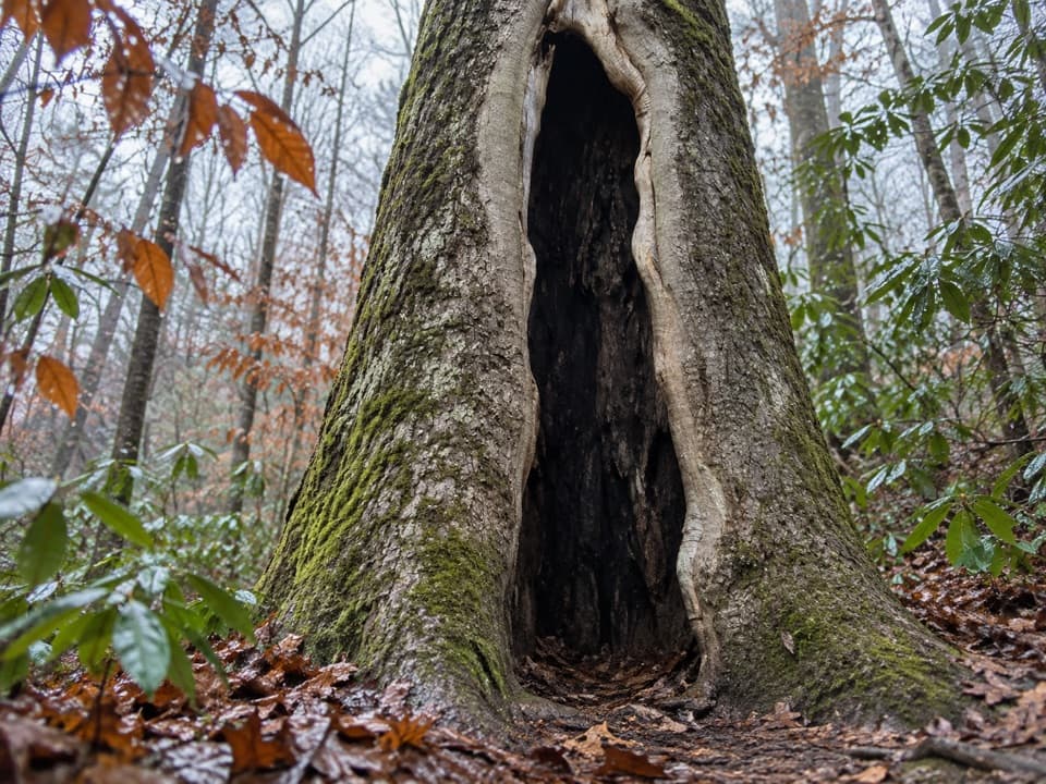
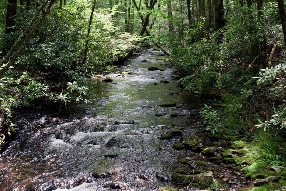
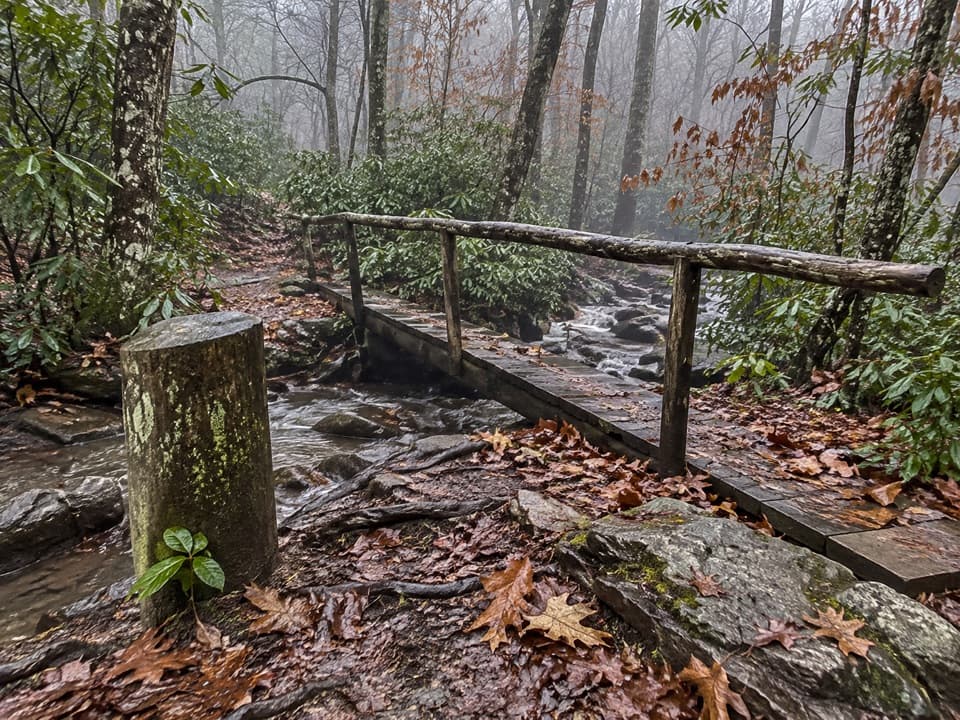
The lower route passes Indian Flats, where Palmer Creek meets Pretty Hollow Creek, then follows Pretty Hollow Creek through shaded cove forest. Expect roots, rocks, mud and uneven tread rather than a smooth path. Above campsite 39, three creek crossings lead beneath rhododendron and hemlocks before the trail climbs steadily along a narrower, eroded slope.

The gap is a junction, not a summitHigher up, cove hardwoods give way to hemlock, red spruce and Fraser fir.

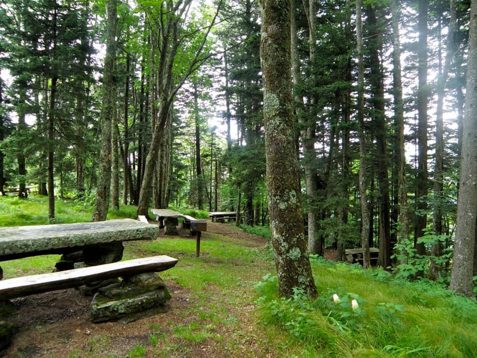
Higher up, cove hardwoods give way to hemlock, red spruce and Fraser fir. The destination is a trail junction at Pretty Hollow Gap, not an open summit or broad overlook. Large sugar maples, yellow buckeyes and tulip poplars stand in the lower cove; seasonal flowers include crimson bee-balm and great lobelia.

Plan the remote startThe gravel approach passes the Cataloochee horse camp; formal parking spaces and capacity at…

The gravel approach passes the Cataloochee horse camp; formal parking spaces and capacity at the gate are not documented. The separate Cataloochee Campground in the valley has seasonal toilets and drinking water, but no food stop was found near the trailhead. Carry enough water and food for a long day.

Wildlife

Wildlife in Great Smoky Mountains

All Great Smoky Mountains wildlife maps

Sighting maps show where each species has been reported across Great Smoky Mountains. Wildlife moves, so no sighting is guaranteed.

Keep exploring

Near Pretty Hollow Gap Trail

See it all on the map

Trails that start nearby

Places near the trailhead

Parkwolf’s Great Smoky Mountains ranking

Top-rated trails in Great Smoky Mountains

All 197 trails
  1. 1Mount Le Conte via Alum Cave TrailChallenging · 10 mi
  2. 2Charlies Bunion via Appalachian TrailModerate · 8 mi
  3. 3Alum Cave Trail to Alum Cave BluffsModerate · 4.6 mi
  4. 4Ramsey Cascades TrailChallenging · 8 mi
  5. 5Mount Cammerer TrailChallenging · 11.1 mi
  6. 6Gregory Ridge TrailChallenging · 11.4 mi

Take Parkwolf to Great Smoky Mountains.

The audio tour guide for the drive, plus offline maps, trails, and wildlife heatmaps for when the signal drops.

4.7 from 8,600+ ratings

Download Parkwolf on the App StoreGet Parkwolf on Google Play