Parking
Start at Caldwell Fork Trailhead just beyond Cataloochee Campground. The loop begins with about 0.8 mile on the Caldwell Fork approach before the Boogerman junction.
Great Smoky Mountains National Park, TN · NC
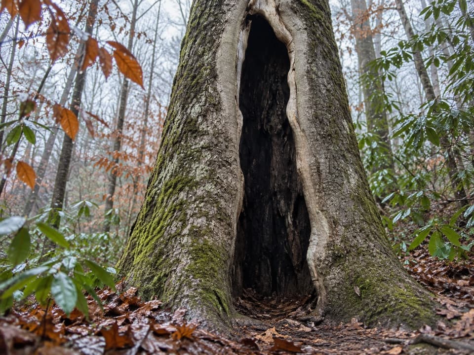
Creek crossings, giant old-growth trees, and mountain homestead traces
Overview
Map & elevation
Plan your hike

The highest, rockiest slopes around here are a summer buffet for grizzly bears.
Great Smoky Mountains Tour Guide
Parkwolf is a GPS audio tour guide for Great Smoky Mountains National Park. As you drive, it chimes in with what’s ahead: hidden gems, upcoming stops, history, geology, and wildlife, right through your car’s speakers.
See the Great Smoky Mountains audio tourRecorded for this trailhead
Cataloochee Campground and Caldwell Fork“You're nearing Cataloochee Campground and the Caldwell Fork trailhead. The campground has just twenty-seven sites, a good fit for a quiet night in the valley if you're happy without showers or hookups.”
Plays as you drive up to this trailhead in the Parkwolf Great Smoky Mountains Tour Guide.
More stories near here in the app
“Fantastic app with many points of information… It’s great to just turn on while you’re driving and it gives you an audio tour of the national Park. We love it!!!!”


Trail guide
Boogerman Loop is a roughly 7.5-mile loop from Caldwell Fork Trailhead, joining an old-growth stretch of Boogerman Trail with a creek-side return on Caldwell Fork. Allow about five hours for moderate hiking. There is a short steep climb, and repeated crossings slow the pace; the draw is the giant trees and traces of mountain homesteads.
From the trailhead, follow the broad, fairly level Caldwell Fork approach about 0.8 mile to the first Boogerman junction and turn left. Boogerman climbs early, then briefly steepens again near its middle. Around 2.3 miles from the start, it passes Robert Palmer's former homesite. At about 4.7 miles, it descends to Caldwell Fork; turn right for the return. You reach the first junction again around 6.5 miles, then retrace the short approach to the trailhead.
White pine, yellow-poplar and eastern hemlock are among the large trees along Boogerman Trail. Many hemlocks have been killed or weakened by hemlock woolly adelgid. Robert Palmer, whose childhood nickname inspired the trail's name, reportedly turned down lumber-company offers to log his land, leaving this pocket of old forest standing.
The route passes Palmer's homesite, then a long stone wall from the Carson Messer homestead, roughly 70 to 80 feet long and about three feet high. Other walls remain farther down. They are the quiet remnants of valley homes, easy to pass if you focus only on the tread.
The return follows the stream and crosses Caldwell Fork repeatedly, with more unbridged crossings on Snake Branch. Horse fords branch off some hiker crossings, and the tread can be muddy. At one short stretch the path follows the creek bed for about 50 feet before picking up again on the opposite bank.
Start at Caldwell Fork Trailhead just beyond Cataloochee Campground. The route includes about 0.8 mile of approach to the Boogerman junction and the same path at the end. Pets are not allowed on this trail.
Wildlife
 1,566 sightingsBlack BearMost seen around 7 PMSighting map
 899 sightingsElkMost seen around 7 AMSighting map
 13 sightingsBald EagleMost seen around 9 AMSighting map
 142 sightingsTimber RattlesnakeMost seen around 6 PMSighting map
 26 sightingsBobcatMost seen around 8 PMSighting map
 42 sightingsRiver OtterMost seen around 7 AMSighting map
Sighting maps show where each species has been reported across Great Smoky Mountains. Wildlife moves, so no sighting is guaranteed.
Keep exploring
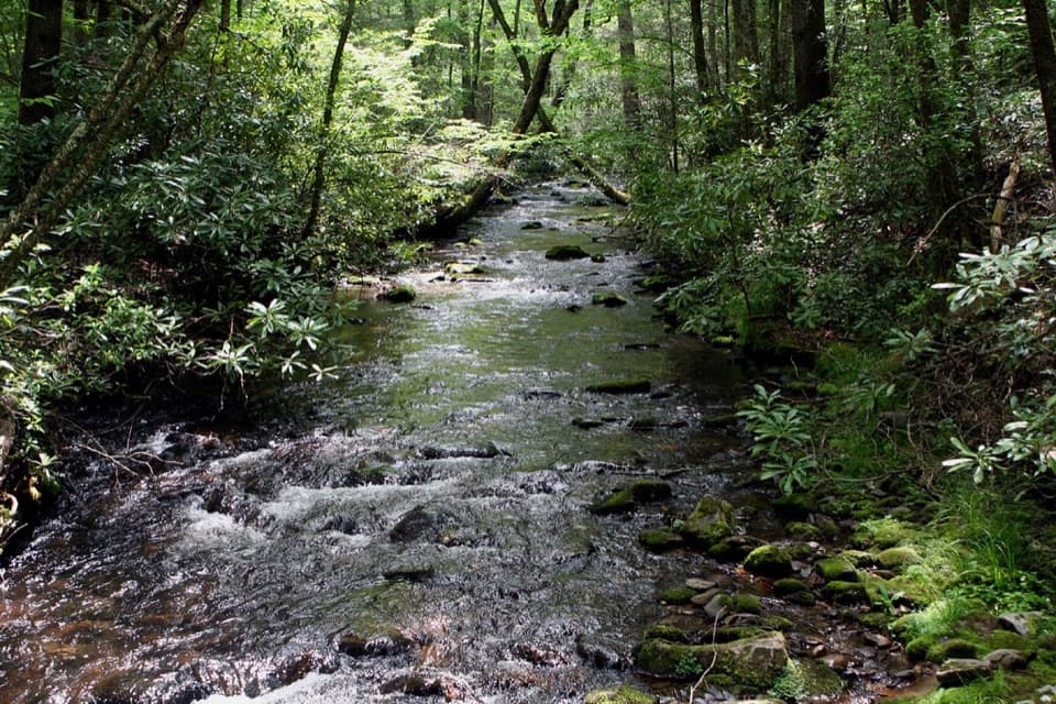 ModerateCaldwell Fork Trail6.3 mi · 4 hr · At the trailheadCreekside miles past old farm traces and a school site
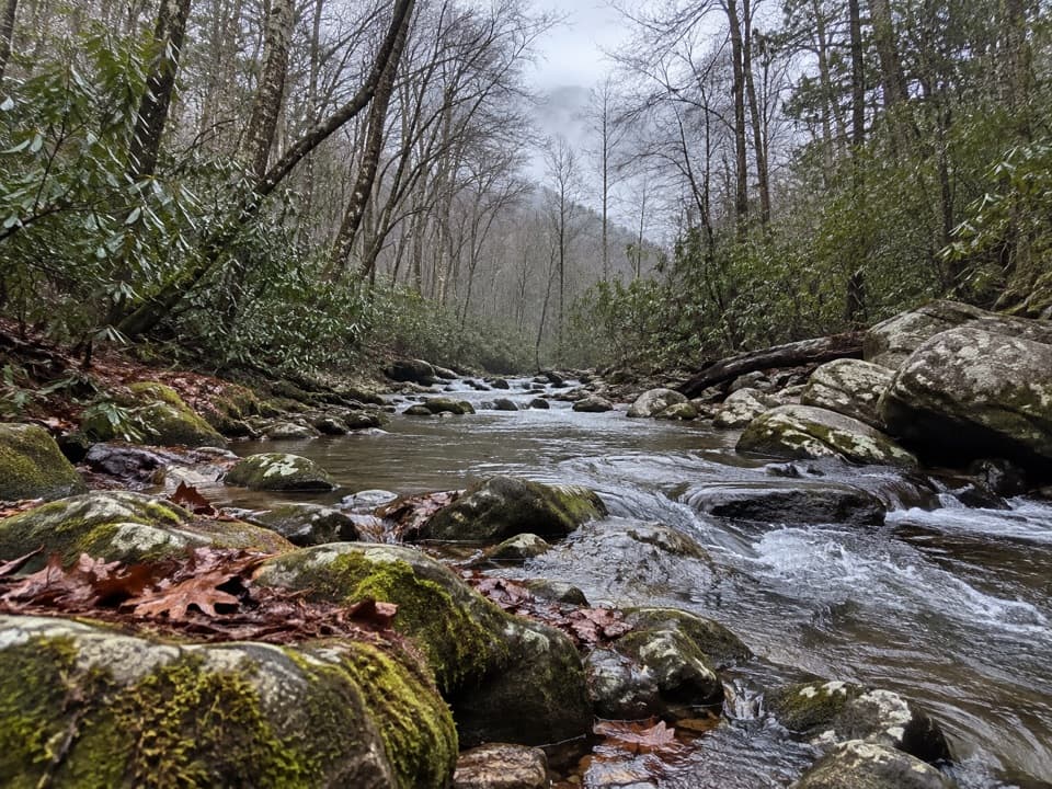 EasyCataloochee Horse Trail3.1 mi · 1.5 hr · 1.4 mi awayA creekside walk along the old road through Big Cataloochee.
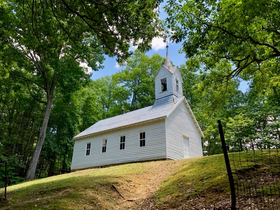 ChallengingLittle Cataloochee Trail12.1 mi · 6.5 hr · 1.4 mi awayA long, rolling hike to cabins, a church, and mountain history
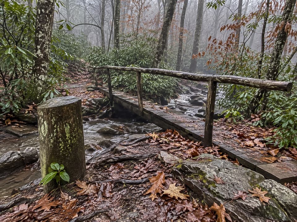 ChallengingPretty Hollow Gap Trail10.9 mi · 7.5 hr · 1.4 mi awayFollow a creek into a steep climb toward the Smokies ridge.
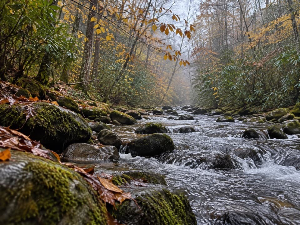 ModeratePalmer Creek Trail9 mi · 6 hr · 1.6 mi awayA long creekside climb to the high mountain road
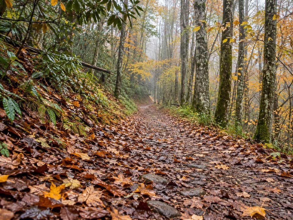 ModerateBig Fork Ridge Loop Trail9.3 mi · 5.5 hr · 2 mi awayRugged 9.3-mile loop with creek crossings and a Balsam Mountain view.
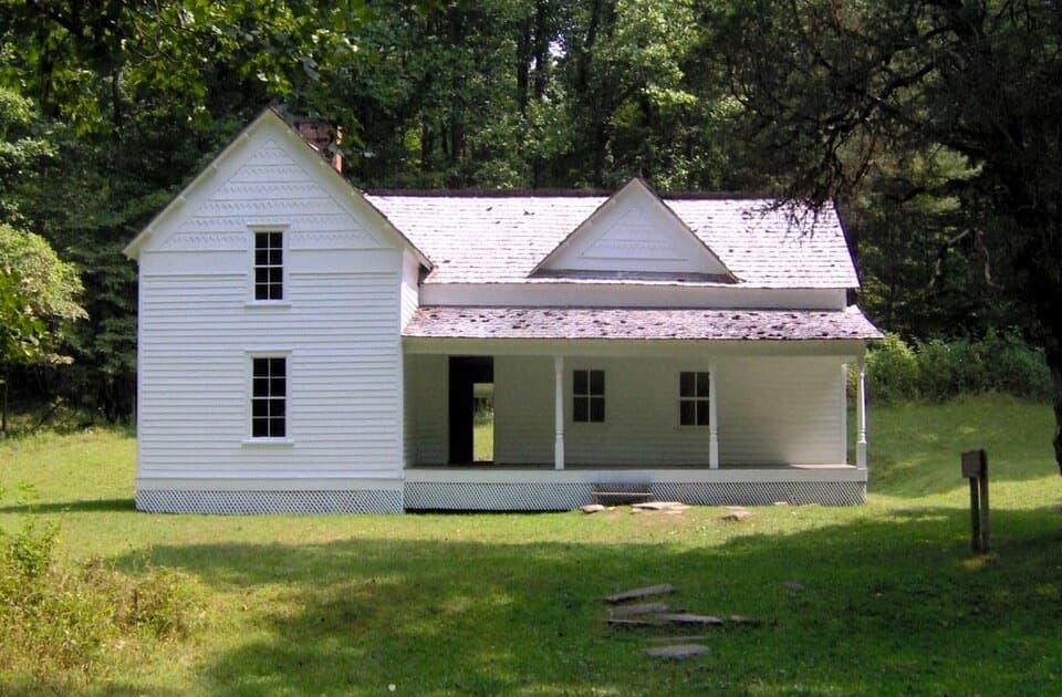 EasyRough Fork Trail to Steve Woody House2 mi · 1.3 hr · 2.1 mi awayA gentle creekside walk to a historic Cataloochee homestead.
 ModerateCataloochee Divide Trail6.3 mi · 4.5 hr · 2.4 mi awayA boundary ridge hike to Purchase Knob's science center and pioneer cabin.
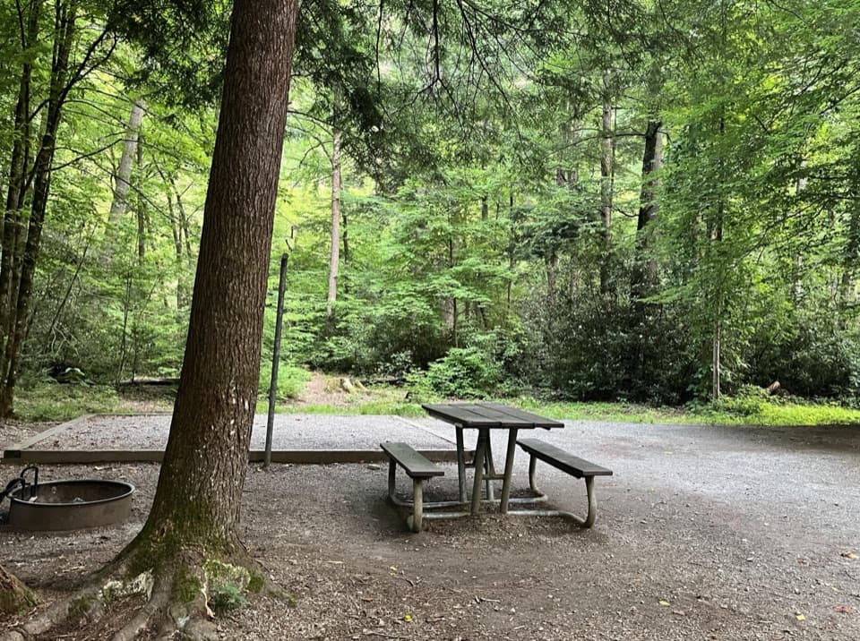 Campground · 0.2 mi awayCataloochee CampgroundCamp in a remote valley of old homesteads and elk country.
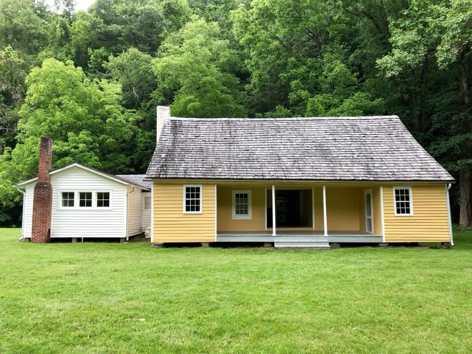 Sight · 0.8 mi awayJarvis Palmer HouseTwo log cabins under one roof became a Cataloochee homestead.
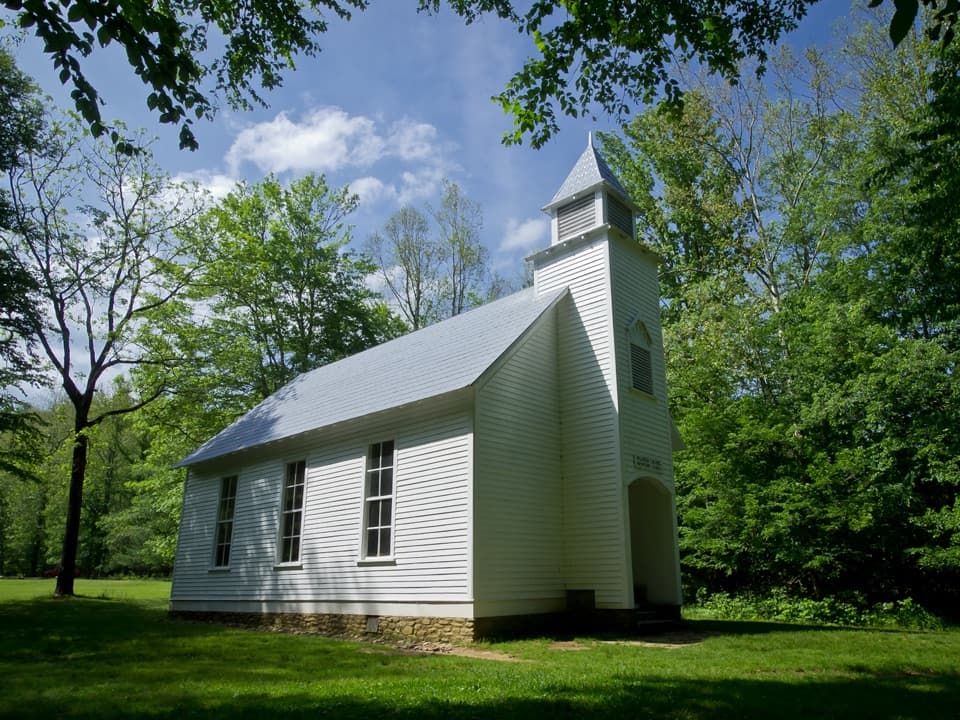 Sight · 1.2 mi awayPalmer ChapelA small valley church with a big role in Cataloochee's story.
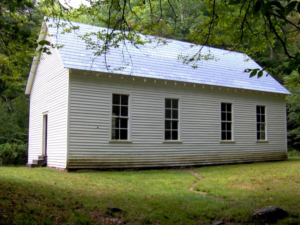 Sight · 1.5 mi awayBeech Grove SchoolA 1901 schoolhouse with a local story about fire.
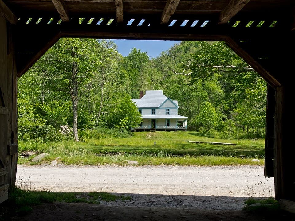 Sight · 1.7 mi awayCaldwell PlaceOld newspaper still lines the walls of this mountain home.
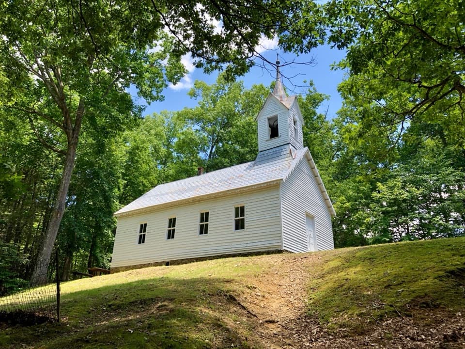 Sight · 2.3 mi awayLittle Cataloochee Baptist ChurchAn 1889 chapel with its original 400-pound bell rewards the hikeSight · 2.8 mi awaySteve Woody HouseA streamside walk ends at Cataloochee's historic farmstead.
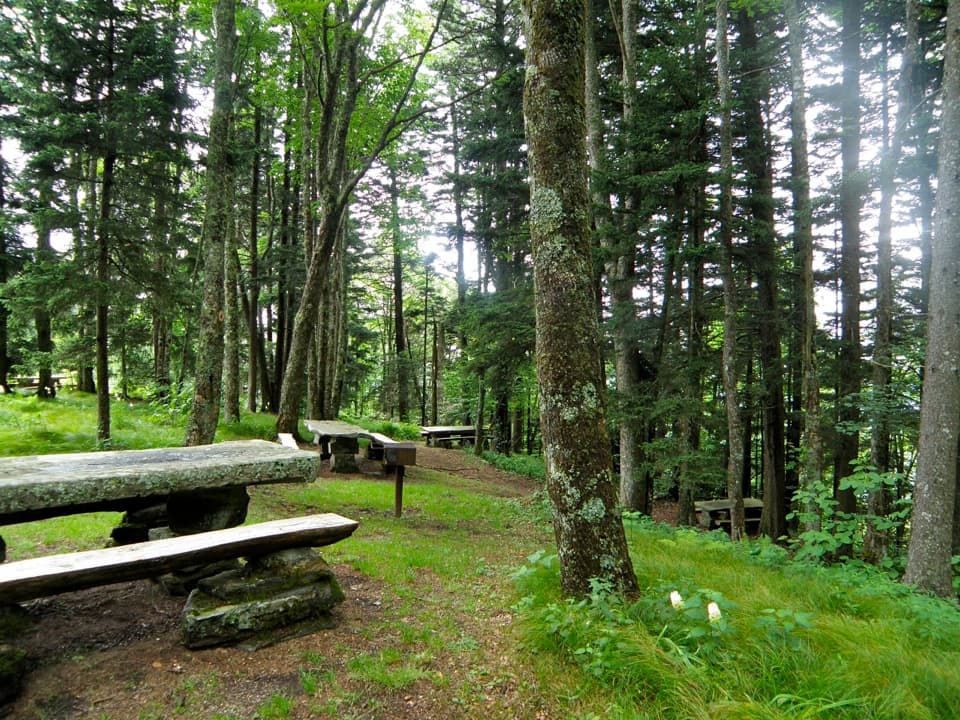 Picnic area · 6.6 mi awayHeintooga Picnic AreaHighest picnic area in the park, with the overlook close by.
Parkwolf’s Great Smoky Mountains ranking

The audio tour guide for the drive, plus offline maps, trails, and wildlife heatmaps for when the signal drops.





