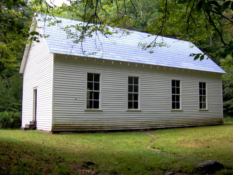
Cataloochee Divide Trail in Great Smoky Mountains National Park

Great Smoky Mountains National Park, TN · NC

Cataloochee Divide Trail

A boundary ridge hike to Purchase Knob's science center and pioneer cabin.

Length
6.3mi
Time
4.5hr
Elev. change
971ft
Difficulty
Moderate
  • No dogs
  • High point 5,102 ft
  • #88 of 197 in Great Smoky Mountains

Hear the audio tour

Cataloochee Divide Trailhead

Overview

About Cataloochee Divide Trail

Why go

  • Grassy clearings give layered views across Cataloochee and the Blue Ridge.
  • Purchase Knob adds a science center and a historic cabin along the route.

Heads up

  • The boundary fence and nearby private property make parts feel less remote.
  • The complete corridor needs a pickup plan at Double Gap; parking there is unverified.

Map & elevation

The route

Loading the Great Smoky Mountains map
Full map
Elevation4,131–5,102 ft
TrailheadCove Creek Gap / Cataloochee Divide Trailhead35.63242, -83.04497
Keep this map with you offline in the Parkwolf app

Plan your hike

Before you go

Parking

Start at Cove Creek Gap. Parking capacity and fee were not verified, so do not assume a large lot. The full trail ends at Double Gap; public parking there was not confirmed, so arrange a pickup or turn around at Purchase Knob for the established out-and-back.

Safety

Stay on the park side of the boundary fence. The wooden shelter mentioned near mile three is on private land, not a public trail amenity. The trail climbs more steeply near Purchase Knob, and no public water or restroom was verified along the route.

7 active Great Smoky Mountains alerts

  • ClosureHurricane Helene trail damage and backcountry restrictionsHurricane Helene damage has restricted backcountry trail access; avoid damaged crossings and observe trail-specific limits.Official details
  • CautionBear-related trail, campsite, and road restrictionsBear activity has closed trails, a shelter, and campsites and restricted pedestrian access on Cherokee Orchard Road; stay out of closed areas and follow vehicle-only rules.Official details
See all 7 alerts
A park ranger sits on a dash-mounted phone, talking, as Parkwolf’s Tour Guide plays “Army Cutworm Moths: A Grizzly Bear Buffet” on Grand Loop Road below Dunraven Pass in Yellowstone
Parkwolf Tour GuideThe highest, rockiest slopes around here are a summer buffet for grizzly bears.

Great Smoky Mountains Tour Guide

Your drive to Cataloochee Divide Trail, narrated.

Parkwolf is a GPS audio tour guide for Great Smoky Mountains National Park. As you drive, it chimes in with what’s ahead: hidden gems, upcoming stops, history, geology, and wildlife, right through your car’s speakers.

See the Great Smoky Mountains audio tour

Recorded for this trailhead

Cataloochee Divide Trailhead
0:00 / 0:24
“You're approaching the Cataloochee Divide trailhead at Cove Creek Gap, for a ridge walk with occasional grassy openings and mountain views.”

Plays as you drive up to this trailhead in the Parkwolf Great Smoky Mountains Tour Guide.

More stories near here in the app

  • A Duckling's First Leap
  • Cataloochee Valley Overlook
  • A Turnpike Full of Hooves
  • Two Baskets in One
  • 200 audio storiesacross Great Smoky Mountains’s roads, triggered by GPS as you drive
  • Wildlife heatmapsfor Black Bear, Elk, Bald Eagle, and 13 more
  • Works offlinemaps, 197 trails, 137 places, and audio download before you lose signal
  • CarPlay readysimple controls built for the drive
★★★★★
“Fantastic app with many points of information… It’s great to just turn on while you’re driving and it gives you an audio tour of the national Park. We love it!!!!”
JMJamesApp Store review
Download Parkwolf on the App StoreGet Parkwolf on Google Play

4.7 from 8,600+ ratings

Trail guide

Hiking Cataloochee Divide Trail

The full trail, and the usual day hikeCataloochee Divide Trail follows the crest and park boundary from Cove Creek Gap to Double Gap,…

Cataloochee Divide Trail follows the crest and park boundary from Cove Creek Gap to Double Gap, where it meets Hemphill Bald Trail. The mapped corridor is about 6.3 miles one way, climbing from roughly 4,200 feet to just over 5,000 feet. Allow four to five hours in this direction. A true through-hike needs a pickup at Double Gap; public parking there was not confirmed. Without a shuttle, the well-described day hike turns around at Purchase Knob and returns the same way, about 9 miles round trip. Distance records disagree: a separate trail-length figure says 8.7 miles, while the connected mapped line measures 6.3, so treat the line-based distance as an estimate.

An open edge along the ridgeThe trail stays close to the park boundary, often with a rail fence between the path and…

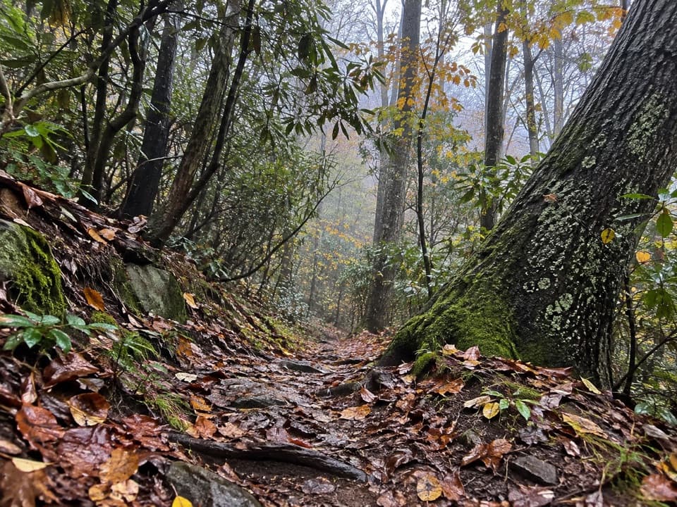
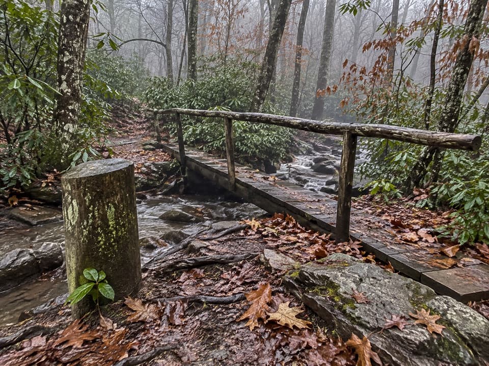
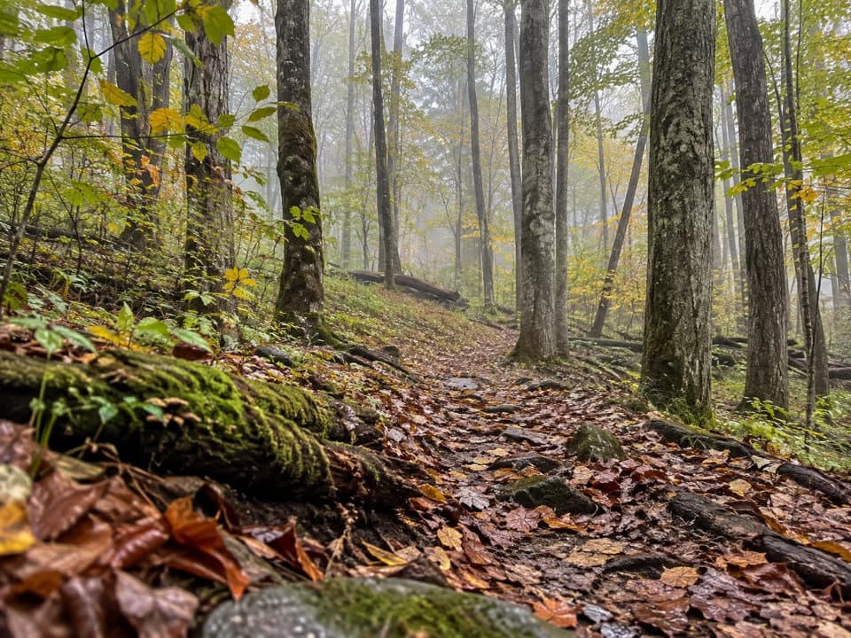
The trail stays close to the park boundary, often with a rail fence between the path and private land. The tread is mostly native dirt. Its first few miles climb gently, with occasional grassy openings that look toward Spruce Mountain and Mount Sterling Ridge and down to Cataloochee Valley. Taylor's Turnaround, a covered bench a little beyond the route's halfway point, faces east across the Blue Ridge. At the first opening, frame the layered ridges with a sliver of Cataloochee Valley below to show how far the trail sits above it.

Panther Spring Gap and the climbA little past two miles, the trail drops to Panther Spring Gap beside a private dirt road.

A little past two miles, the trail drops to Panther Spring Gap beside a private dirt road. A local tale ties the gap's name to a panther carrying a child into the valley; treat that as folklore, not a wildlife report. Farther on, a clearing looks toward Purchase Knob, and the climb steepens for a short stretch. A wooden shelter mentioned near here is across the fence on private land, so don't count on it as a public rest stop.

Purchase Knob and the pioneer cabinA short side path reaches Purchase Knob and the Appalachian Highlands Science Learning Center,…

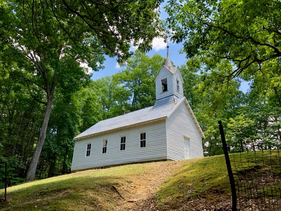
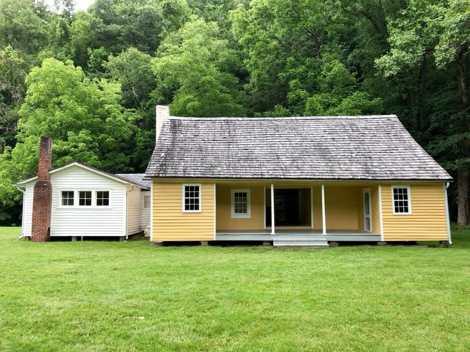
A short side path reaches Purchase Knob and the Appalachian Highlands Science Learning Center, a former summer home donated with 535 acres by the McNeil-Gilmore family in 2000. Ferguson Cabin is nearby; it is described as the highest-elevation surviving pioneer cabin in the park. This is the natural turnaround for the roughly 9-mile day hike, with time for the views and a look at the cabin. The route then continues about 1.8 miles to Double Gap. The trail has spring wildflowers, including American lily-of-the-valley, and fall color; the brief openings are the best places to stop for the layered ridge view.

Keep to the park sideThe fence marks the park boundary, with private roads and homes just beyond it in places.

The fence marks the park boundary, with private roads and homes just beyond it in places. Stay on the trail and on the public side. No public water or restroom was verified at Cove Creek Gap or along the route. Dogs are not allowed on this trail; only two trails in the park permit leashed pets.

Wildlife

Wildlife in Great Smoky Mountains

All Great Smoky Mountains wildlife maps

Sighting maps show where each species has been reported across Great Smoky Mountains. Wildlife moves, so no sighting is guaranteed.

Keep exploring

Near Cataloochee Divide Trail

See it all on the map

Trails that start nearby

Places near the trailhead

Parkwolf’s Great Smoky Mountains ranking

Top-rated trails in Great Smoky Mountains

All 197 trails
  1. 1Mount Le Conte via Alum Cave TrailChallenging · 10 mi
  2. 2Charlies Bunion via Appalachian TrailModerate · 8 mi
  3. 3Alum Cave Trail to Alum Cave BluffsModerate · 4.6 mi
  4. 4Ramsey Cascades TrailChallenging · 8 mi
  5. 5Mount Cammerer TrailChallenging · 11.1 mi
  6. 6Gregory Ridge TrailChallenging · 11.4 mi

Take Parkwolf to Great Smoky Mountains.

The audio tour guide for the drive, plus offline maps, trails, and wildlife heatmaps for when the signal drops.

4.7 from 8,600+ ratings

Download Parkwolf on the App StoreGet Parkwolf on Google Play