Parking
The trail starts inside Berry Hill Campground, 5 km north of Rocky Harbour on Route 430; Parks Canada does not specify a separate trailhead lot.
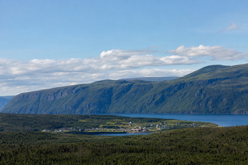
Gros Morne National Park, NL
Steep little climb, wide views over ponds and coastal lowlands
Overview
Map & elevation
Plan your hike

The highest, rockiest slopes around here are a summer buffet for grizzly bears.
Gros Morne Tour Guide
Parkwolf is a GPS audio tour guide for Gros Morne National Park. As you drive, it chimes in with what’s ahead: hidden gems, upcoming stops, history, geology, and wildlife, right through your car’s speakers.
Recorded for this trailhead
Berry Hill Trails and Baker’s Brook Falls“You're approaching the trailheads at Berry Hill Campground. Baker's Brook Falls is the longer outing: ten kilometres return, mostly through balsam fir, before the brook spreads over a staircase of limestone ledges.”
Plays as you drive up to this trailhead in the Parkwolf Gros Morne Tour Guide.
More stories near here in the app
“Fantastic app with many points of information… It’s great to just turn on while you’re driving and it gives you an audio tour of the national Park. We love it!!!!”


Trail guide
Berry Hill Trail is a 1.5 km (0.93 mi) out-and-back from Berry Hill Campground to several viewpoints on the low rock knob above it. Allow 30–60 minutes for the return trip. It’s a compact outing, but the 92 m climb is steep enough to feel like exercise; the official difficulty is moderate. The trail goes up to the viewpoints and returns by the same marked path, so the distance includes both directions.
The first stretch rises gently through woodland before the grade steepens. Stair sections carry you up the steeper ground, and benches are set along the way for pauses. Once the trees open, the route reaches a series of viewpoints near the crest. The developed path is marked throughout, so pacing yourself on the climb matters more than route-finding. Take time at the viewpoints before turning back down the same path.
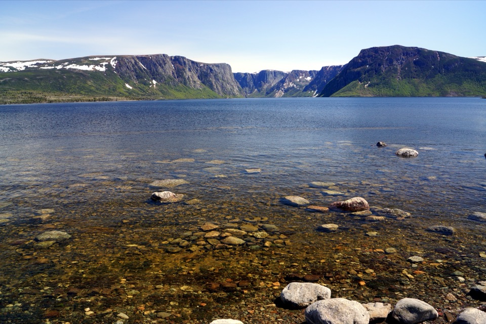
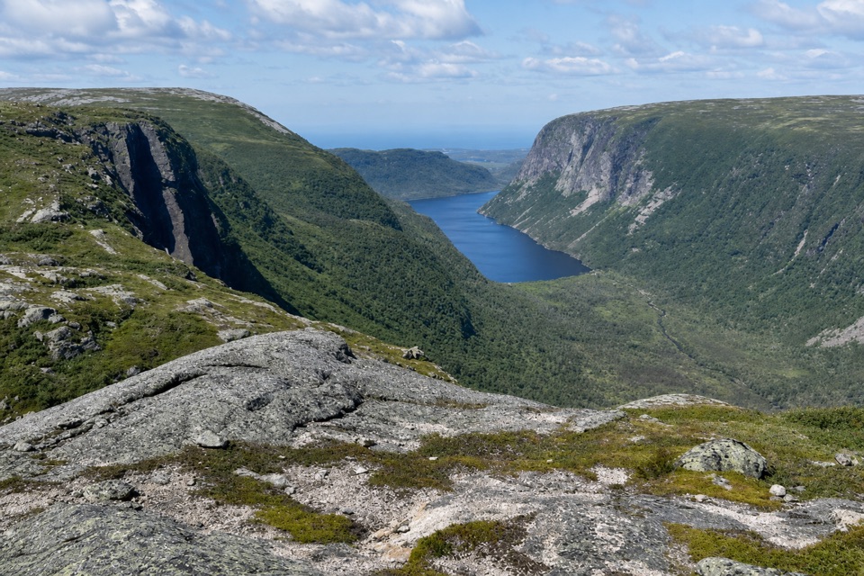
From the top, look across a patchwork of coastal forest, ponds and bogs toward the Long Range Mountains. The hill is a low rock knob that stood as an island when sea levels were higher just after the last ice age. Wave-polished rocks from about 10,000 years ago are still visible on its flanks, so the stone underfoot records a shoreline that has long since moved away. At the viewpoints, stay behind the safety fences. For a photo, keep the ponds or bogs low in the frame and the mountain ridge beyond; that layered view shows what makes this part of the coast distinctive.
The trail begins inside Berry Hill Campground, 5 km north of Rocky Harbour on Route 430. Washrooms, showers and a kitchen shelter are available at the campground when seasonal services are operating; none is along the trail itself. A gentler nearby option is Berry Hill Pond Trail, a separate 2 km loop along forested pond shores; it is longer but easier and does not reach these summit viewpoints. Pets are allowed on this route but must stay on leash.
Wildlife
 252 sightingsMooseMost seen around 7 AMSighting map
 120 sightingsCaribouMost seen around 7 AMSighting map
 22 sightingsBlack BearMost seen around 7 PMSighting map
 61 sightingsBald EagleMost seen around 7 AMSighting map
 11 sightingsCommon Minke WhaleMost seen around noonSighting map
 70 sightingsHarbor SealMost seen around noonSighting map
Sighting maps show where each species has been reported across Gros Morne. Wildlife moves, so no sighting is guaranteed.
Keep exploring
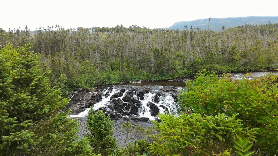 ModerateBaker's Brook Falls Trail10 km · 2.5 hr · At the trailheadA quiet forest walk ends at limestone staircase cascades.
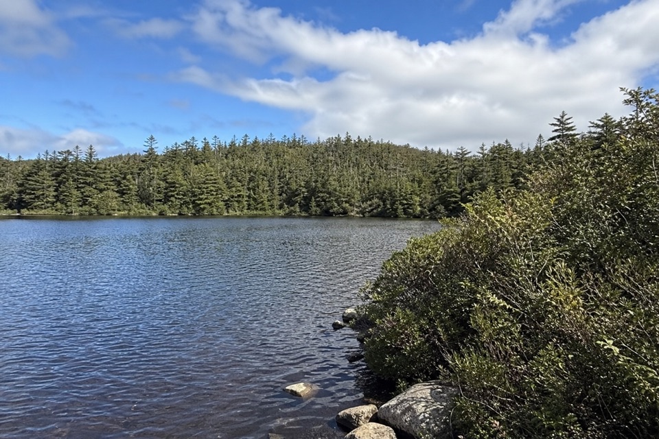 EasyLittle Pond Loop4.2 km · 1.5 hr · At the trailheadA wooded pond loop off Baker’s Brook’s waterfall trail.
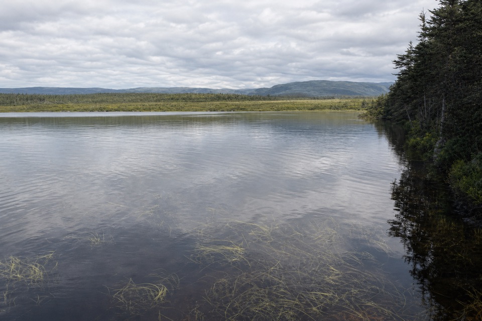 EasyBerry Head Pond Trail2 km · 45 min · 2.3 km awayA short boardwalk gives way to a quiet pond loop.
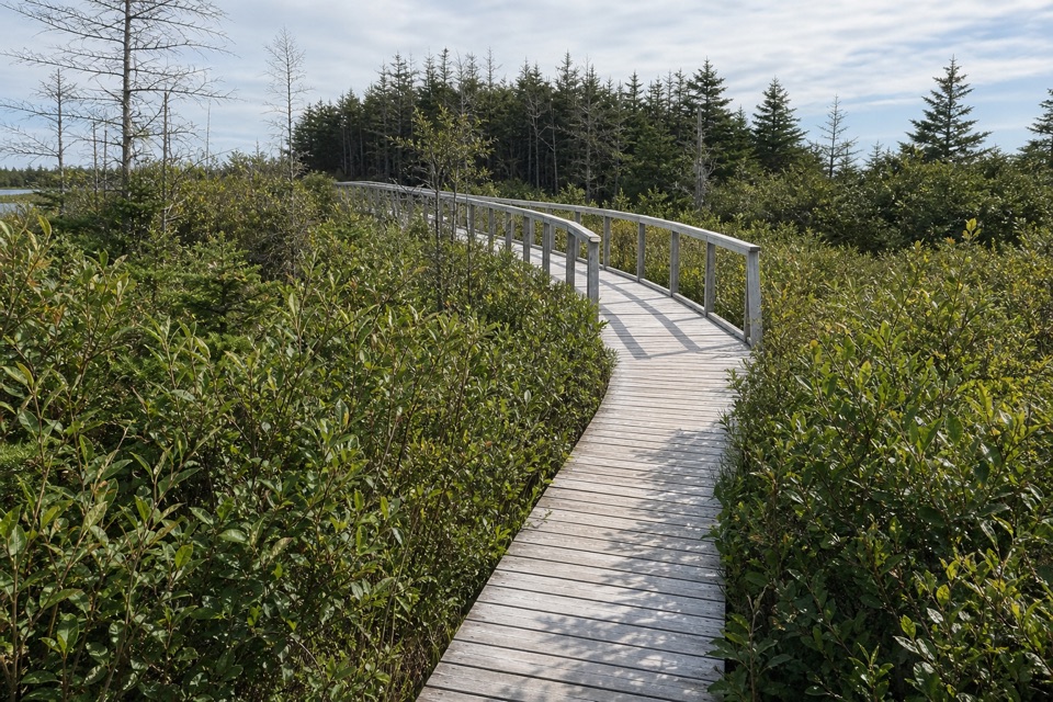 EasyBerry Head Pond Trail: Wheelchair Accessible Section0.7 km · 20 min · 2.3 km awayA short boardwalk opens onto pond and bogland views.
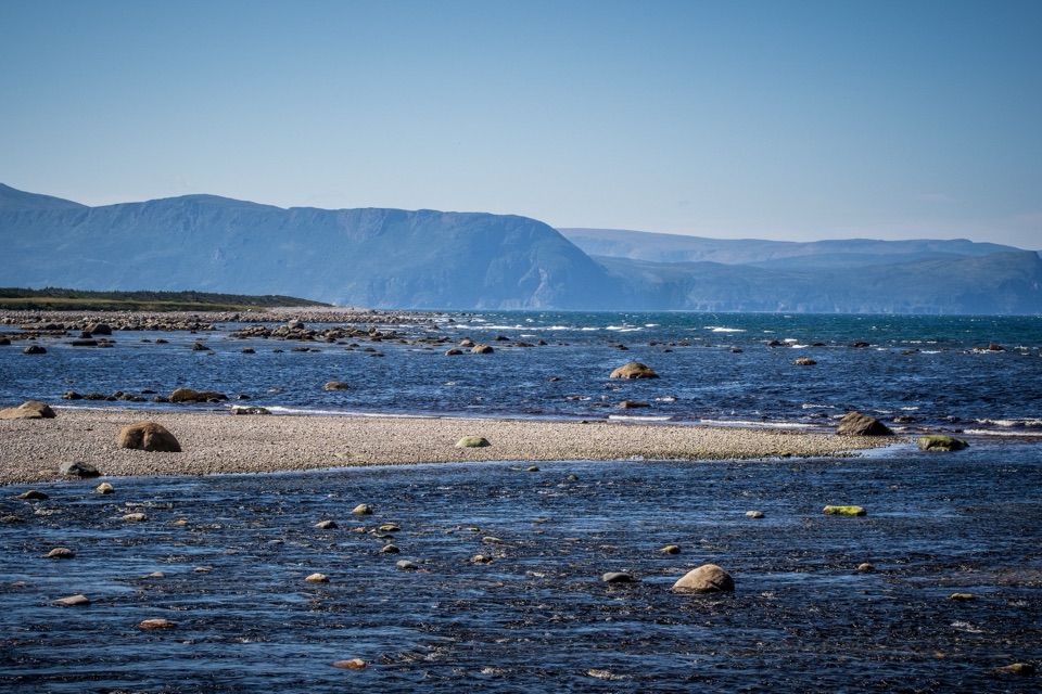 EasyCoastal Trail6 km · 1.5 hr · 4 km awayFollow the old mail road between cobble shore and wind-shaped tuckamore.
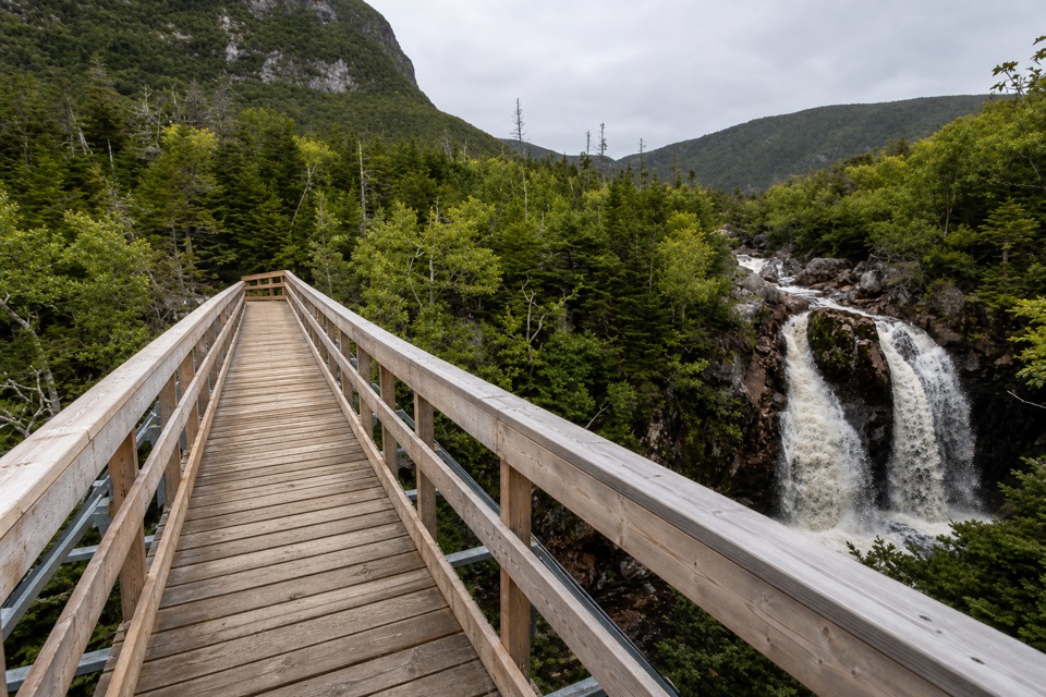 ModerateGros Morne Approach Trail9 km · 3 hr · 9.6 km awayA waterfall bridge marks the halfway point to the mountain’s base.
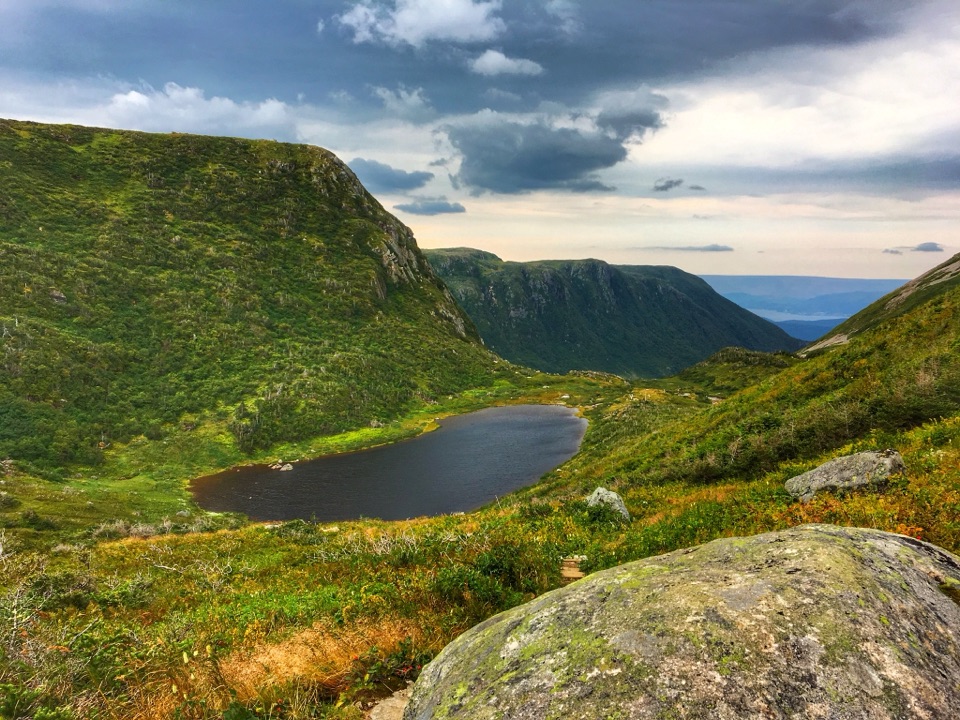 ChallengingGros Morne Mountain Trail17 km · 7.3 hr · 9.6 km awayWaterfalls, a bare alpine summit, and a boulder-strewn descent.
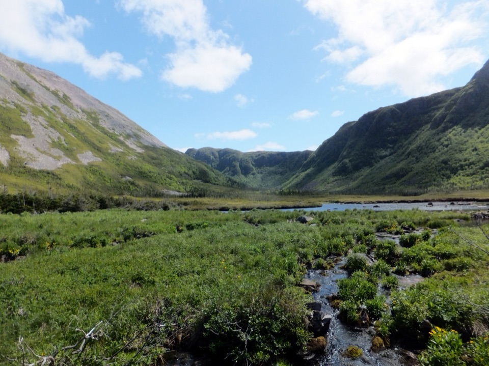 ChallengingFerry Gulch to Bakeapple Pond21 km · 2 days · 9.6 km awayTwo days of unmarked hiking to a view over Ten Mile Pond.
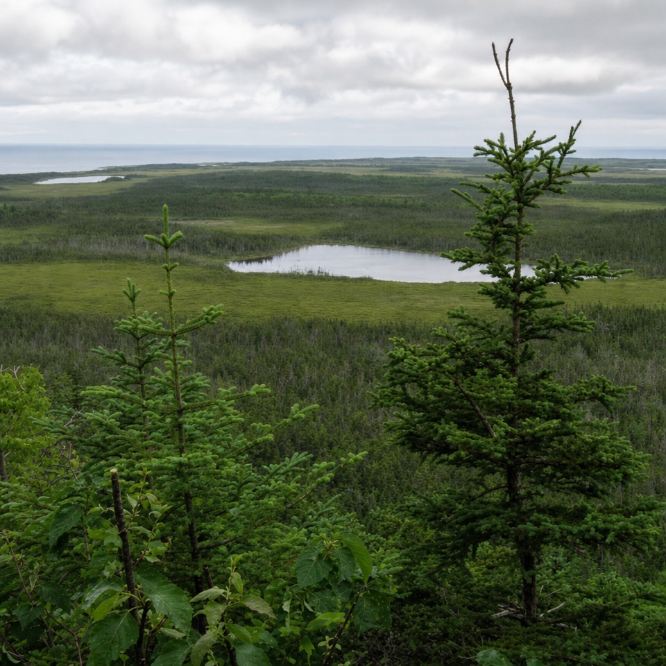 Sight · 0.2 km awayBerry Hill LookoutA steep short climb opens onto ponds, bogs and distant mountain views.
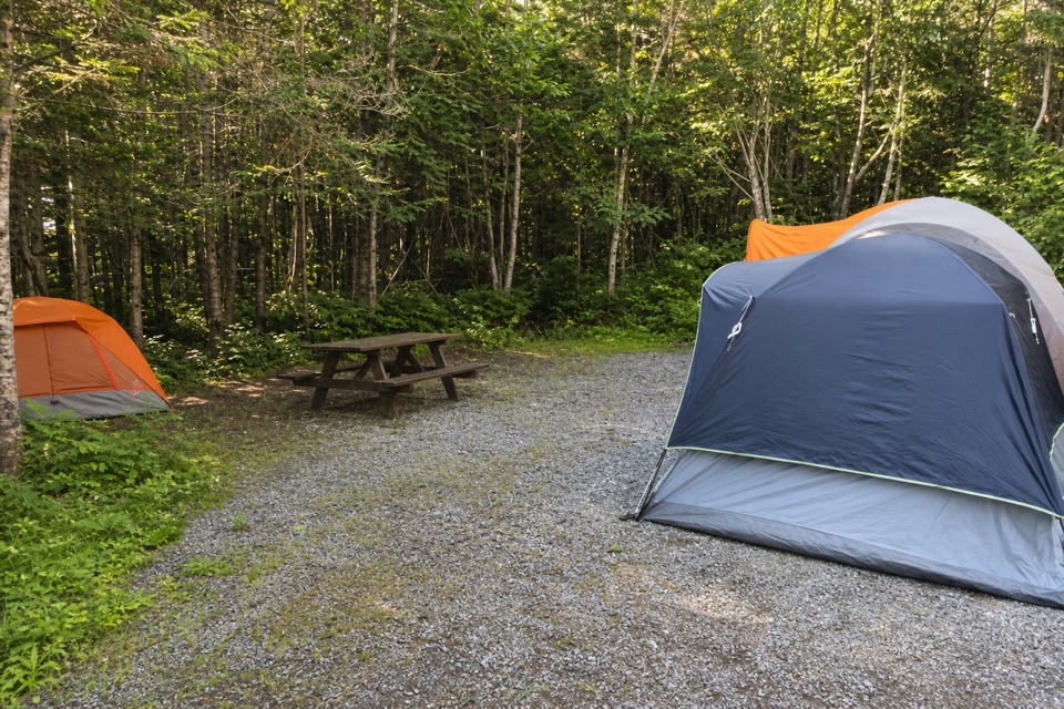 Campground · 0.4 km awayBerry Hill CampgroundTwo short trails start at camp, including a viewpoint over the lowlands.
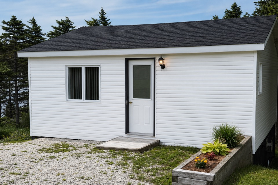 Store · 2.8 km awayGros Morne Crafts & Oceanside CottageFind local pottery, carvings, knitwear and stained glass.
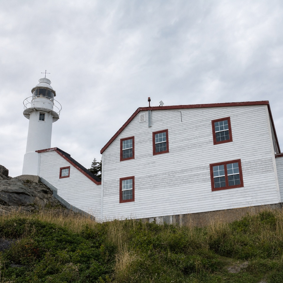 Sight · 3 km awayLobster Cove Head LighthouseA historic lighthouse, keeper’s stories and a rugged stretch of coast.
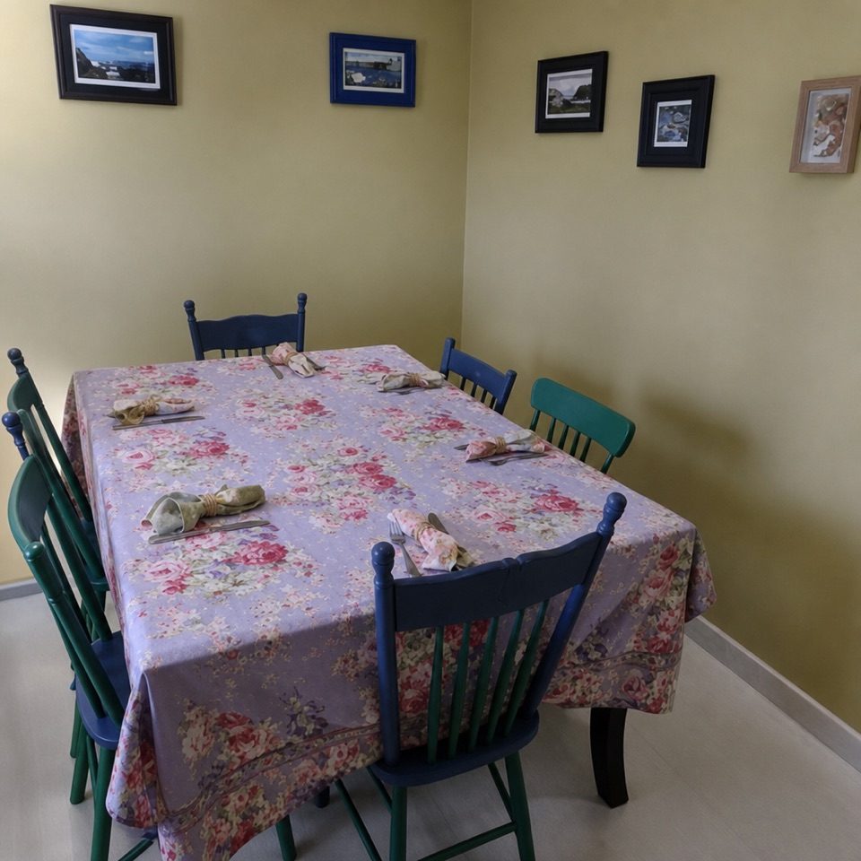 Restaurant · 3.5 km awayJava Jack's Restaurant & GalleryNewfoundland fare and local art in one Rocky Harbour meal.
 Food · 3.5 km awaySweet Rock Ice Cream & Aunt Sarah's Chocolate ShopNewfoundland flavours and chocolates make this more than a scoop stop.
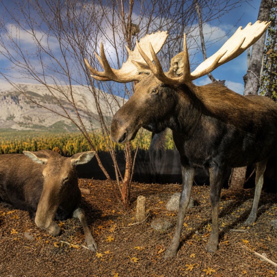 Sight · 3.5 km awayGros Morne Wildlife MuseumOver 100 Newfoundland animals in lifelike habitat scenes.
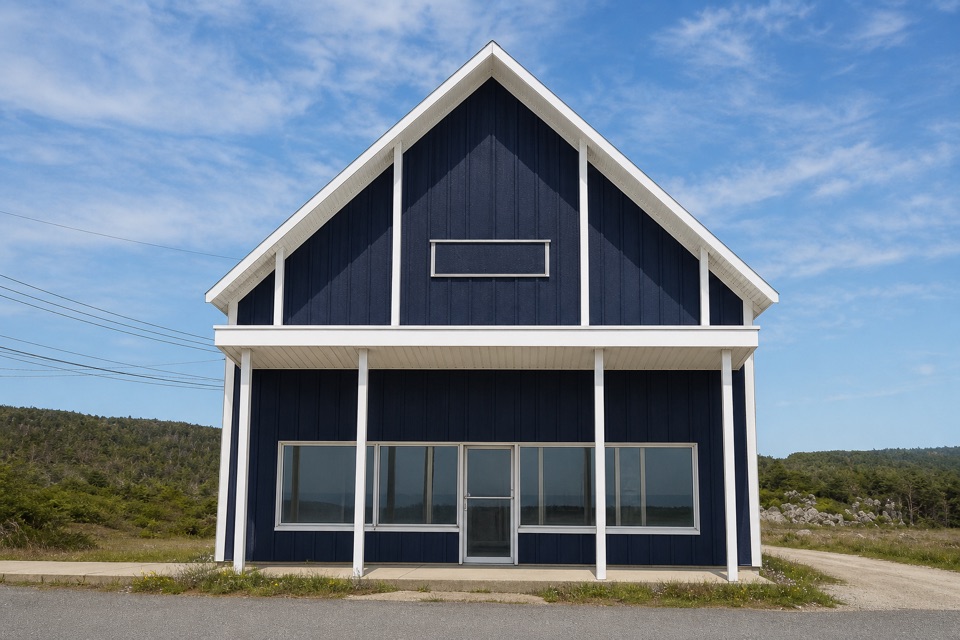 Store · 3.6 km awayTreasure BoxA long-running craft stop for Newfoundland knits and stained glass
Parkwolf’s Gros Morne ranking

The audio tour guide for the drive, plus offline maps, trails, and wildlife heatmaps for when the signal drops.