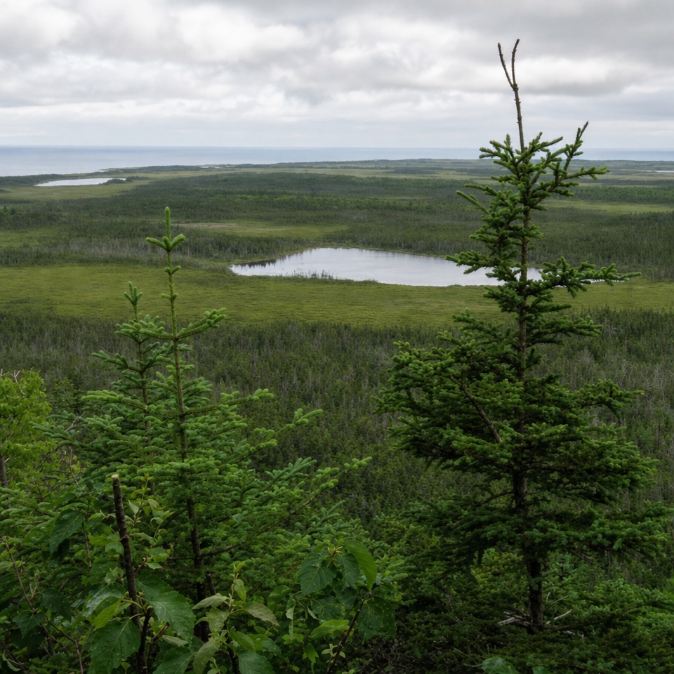
Berry Hill Lookout in Gros Morne National Park

Sight · Gros Morne National Park

Berry Hill Lookout

A steep short climb opens onto ponds, bogs and distant mountain views.

Type
Sight
Nearest trail
0.1 km
Audio stories
7 nearby
  • Scenic viewpoint

Hear the audio tour

Berry Hill Trails and Baker’s Brook Falls

Overview

About Berry Hill Lookout

Why stop

  • Broad views across the park’s coastal ponds and bogs

Heads up

  • Steep climb despite the short route

Map

Where it is

Loading the Gros Morne map
Full map
SightBerry Hill Lookout49.62376, -57.93230
Keep this map with you offline in the Parkwolf app

Plan your stop

Before you go

Getting there and back

The trailhead is in the campground, about 5 km north of Rocky Harbour on Route 430. The Berry Hill Trail is a 1.5 km return walk with 92 m of climbing, usually 30 to 60 minutes. The ascent is steep, but stairs and rest benches break it up. Stay behind the safety fences at the viewpoints. It’s a worthwhile stop if you want a short hike with a proper summit view, but plan for uphill walking rather than a roadside pullout.


3 active Gros Morne alerts

  • ClosureGreen Gardens and Wallace Brook trail sections closedDo not enter the closed sections of the Green Gardens and Wallace Brook trails.Official details
  • CautionStuckless Pond Trail bridge outDo not use the Stuckless Pond Trail at the stream crossing. - The bridge is out, and Parks Canada says trail use is not recommended at this time because of high water levels at the stream crossing.Official details
See all 3 alerts
A park ranger sits on a dash-mounted phone, talking, as Parkwolf’s Tour Guide plays “Army Cutworm Moths: A Grizzly Bear Buffet” on Grand Loop Road below Dunraven Pass in Yellowstone
Parkwolf Tour GuideThe highest, rockiest slopes around here are a summer buffet for grizzly bears.

Gros Morne Tour Guide

Your drive to Berry Hill Lookout, narrated.

Parkwolf is a GPS audio tour guide for Gros Morne National Park. As you drive, it chimes in with what’s ahead: hidden gems, upcoming stops, history, geology, and wildlife, right through your car’s speakers.

Recorded for this place

Berry Hill Trails and Baker’s Brook Falls
0:00 / 0:40
“You're approaching the trailheads at Berry Hill Campground. Baker's Brook Falls is the longer outing: ten kilometres return, mostly through balsam fir, before the brook spreads over a staircase of limestone ledges.”

Plays as you drive up to Berry Hill Lookout in the Parkwolf Gros Morne Tour Guide.

More stories near here in the app

  • The Beaver’s Calling Cards
  • The Flower You Can't Watch Open
  • Berry Head Pond Trail
  • What Fish and Brewis Means
  • 87 audio storiesacross Gros Morne’s roads, triggered by GPS as you drive
  • Wildlife heatmapsfor Moose, Caribou, Black Bear, and 13 more
  • Works offlinemaps, 25 trails, 58 places, and audio download before you lose signal
  • CarPlay readysimple controls built for the drive
★★★★★
“Fantastic app with many points of information… It’s great to just turn on while you’re driving and it gives you an audio tour of the national Park. We love it!!!!”
JMJamesApp Store review
Download Parkwolf on the App StoreGet Parkwolf on Google Play

4.7 from 8,600+ ratings

Guide

More about Berry Hill Lookout

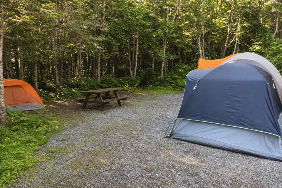
The short climbBerry Hill Lookout is a set of viewpoints atop a low rock hill inside Berry Hill Campground.

Berry Hill Lookout is a set of viewpoints atop a low rock hill inside Berry Hill Campground. This is a short summit walk, not a drive-up roadside stop; I’d make the climb for the wide view across the park’s coastal lowlands if you have an hour and don’t mind a steep ascent.

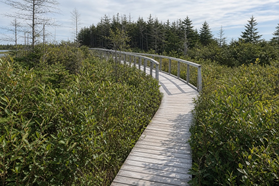
Forest, ponds and bogsThe trail starts in the trees, then climbs more steeply toward the rocky top.

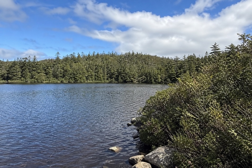
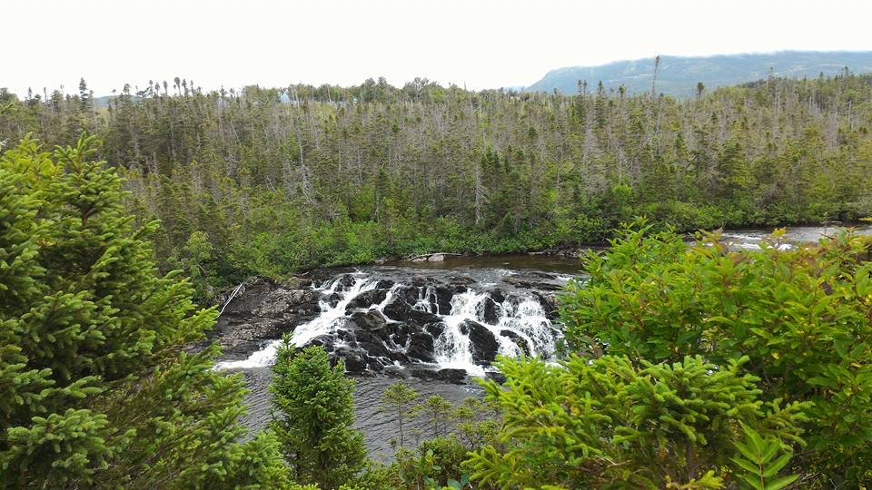
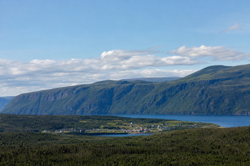
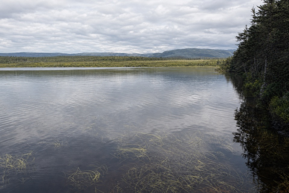
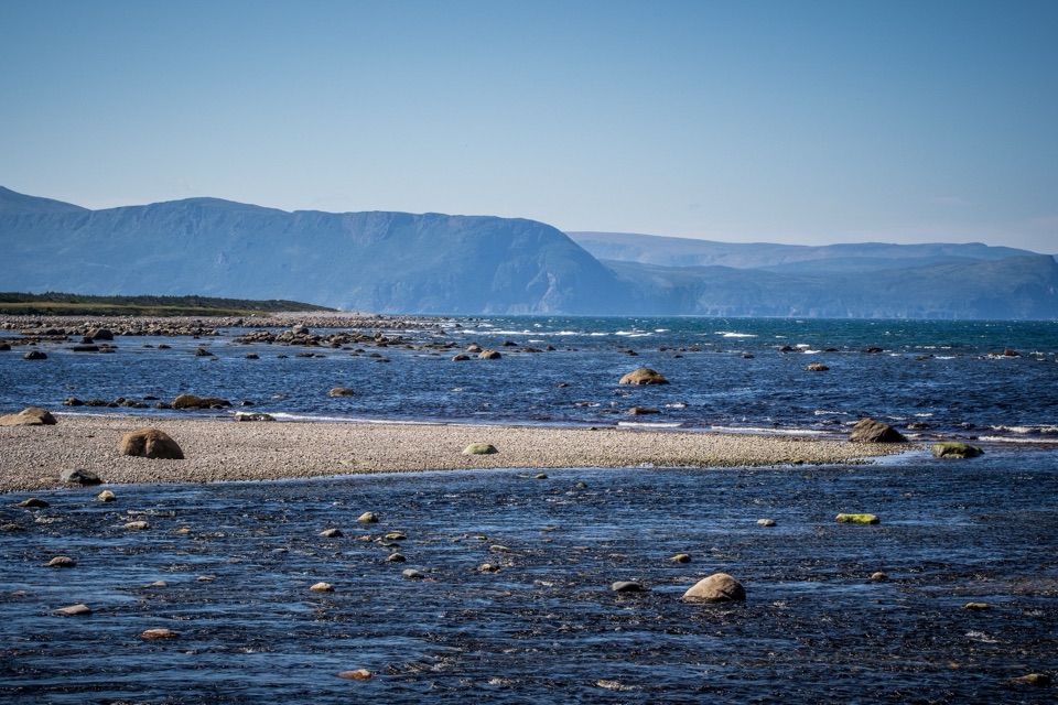
The trail starts in the trees, then climbs more steeply toward the rocky top. From several viewpoints, the Long Range Mountains rise behind a patchwork of coastal forest, ponds and bogs. It’s a broad, low view: look for pale openings of water and marsh between the dark forest bands rather than expecting one peak to fill the scene. Berry Hill itself is a low rock knob that stood as an island just after the last ice age, when sea levels were higher. Waves polished rocks on its flanks about 10,000 years ago, and those marks are still visible. For a photo, frame a pond with some foreground spruce; the trees give the open lowlands a sense of scale.

Wildlife

Wildlife in Gros Morne

All Gros Morne wildlife maps

Sighting maps show where each species has been reported across Gros Morne. Wildlife moves, so no sighting is guaranteed.

Keep exploring

Near Berry Hill Lookout

See it all on the map

Trails nearby

More stops nearby

Parkwolf’s Gros Morne ranking

Top sights in Gros Morne

All 58 places
  1. 1Western Brook PondSight
  2. 2The TablelandsSight
  3. 3Gros Morne MountainSight
  4. 4Lobster Cove Head LighthouseSight
  5. 5Shallow Bay BeachBeach
  6. 6Broom Point Fishing PremisesSight

Take Parkwolf to Gros Morne.

The audio tour guide for the drive, plus offline maps, trails, and wildlife heatmaps for when the signal drops.

4.7 from 8,600+ ratings

Download Parkwolf on the App StoreGet Parkwolf on Google Play